
Scotland
Beschrijving
Kaart


Paden in deze landsdeel
- Annandale WayGPX
- Arran Coastal WayGPX
- Borders Abbeys WayGPX
- Cape Wrath TrailGPX
- Cateran TrailGPX
- Cowal WayGPX
- Dava WayGPX
- E2GPX
- Fife Coastal PathGPX
- Great Glen WayGPX
- Highland High Way
- John Muir WayGPX
- Kintyre WayGPX
- Lairig Ghru
- Lands End to John o'GroatsGPX
- Mary Queen of Scots WayGPX
- Moray Coast TrailGPX
- Moray Way
- North Sea TrailGPX
- River Ayr WayGPX
- Rob Roy WayGPX
- Saint Cuthbert's WayGPX
- Scottish Coast to Coast
- Sir Walter Scott Way
- Southern Upland WayGPX
- Speyside WayGPX
- West Highland WayGPX
- West Island WayGPX
Links
Feiten
Verslagen
Gidsen en kaarten
Overnachting
Organisaties
Reisorganisaties
GPS
Anders
Boeken
De Zwerver
Netherlands
2007
Netherlands
2007
- Reisgids Lewis and Harris - Pevensey Island Guides | Pevensey Island guides
- Meer fotoboek dan reisgids, maar wel eentje om perfect de sfeer te proeven van deze bijzonder eilanden. Suitable for the discerning tourist and island devotee, this work describes everything the visitor needs to know about the islands' heritage, landscape, climate, flora and fauna. It contains information on the key places of interest, from... Read more
De Zwerver
Netherlands
2005
Netherlands
2005
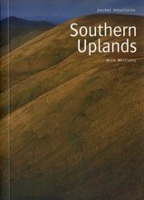
- Wandelgids Southern Uplands | Pocket Mountains
- Mooi uitgevoerde wandelgids in een handzaam formaat: 15 x 10 cm. De wandelingen zijn duidelijk beschreven, soms een beetje summier. This Pocket Mountains guide to the Southern Uplands of Scotland contains 40 hill walks, trademark photography and inventive circular routes. Each route is accompanied by a full colour photograph, contoured map and... Read more
De Zwerver
Netherlands
2020
Netherlands
2020
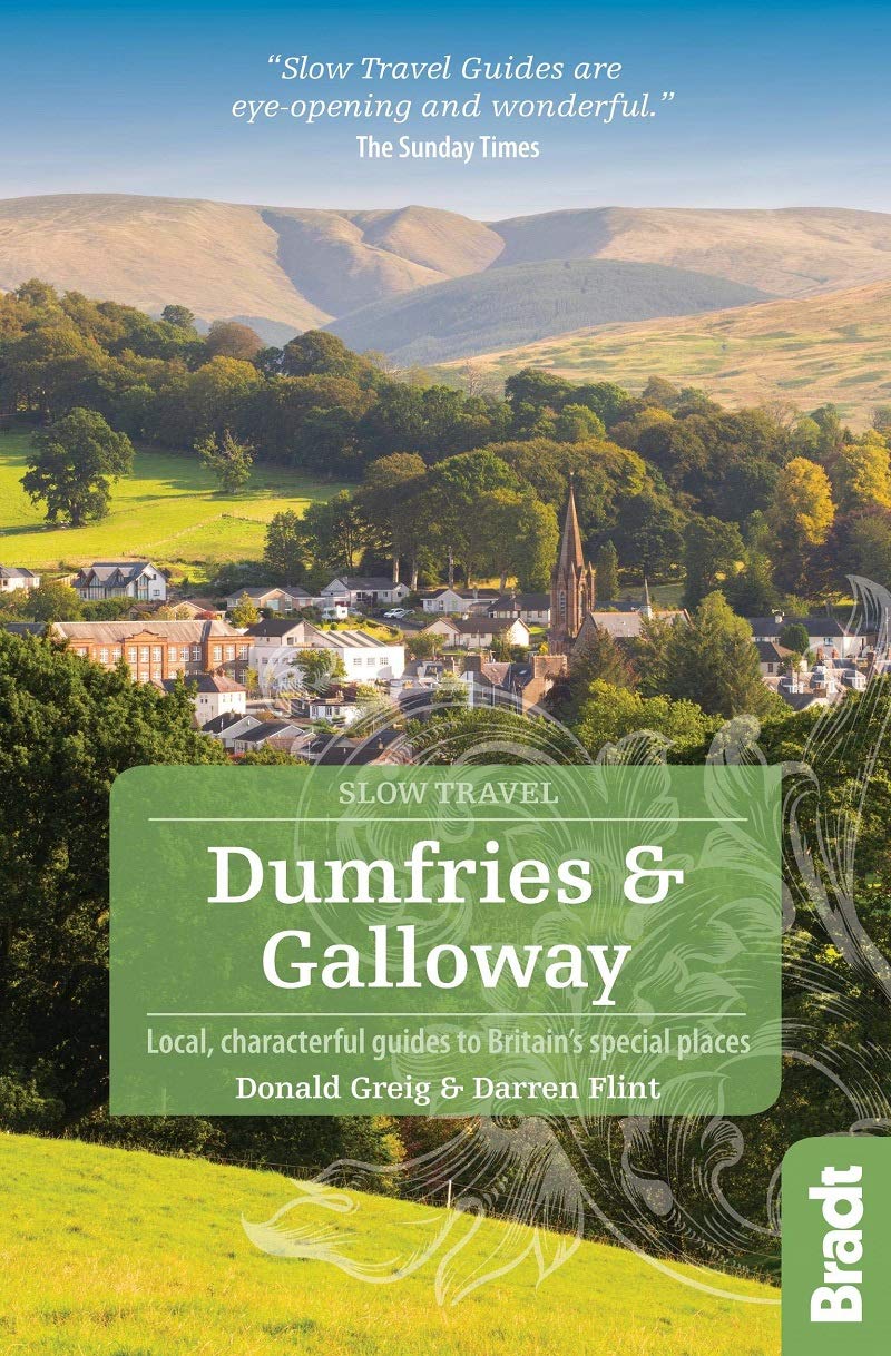
- Reisgids Slow Travel Dumfries and Galloway | Bradt Travel Guides
- Written by resident experts, this new, thoroughly updated second edition of Bradt`s Dumfries and Galloway remains the only full-blown guide to this increasingly popular southwest corner of Scotland. The region is covered in depth, from Eskdale in the east to Scotland`s southern tip at the Mull of Galloway, via Annandale, Nithsdale, Dumfries,... Read more
- Also available from:
- Stanfords, United Kingdom

Stanfords
United Kingdom
2020
United Kingdom
2020
- Dumfries and Galloway (Slow Travel) Bradt Guide
- Written by resident experts, this new, thoroughly updated second edition of Bradt`s Dumfries and Galloway remains the only full-blown guide to this increasingly popular southwest corner of Scotland. The region is covered in depth, from Eskdale in the east to Scotland`s southern tip at the Mull of Galloway, via Annandale, Nithsdale, Dumfries,... Read more
De Zwerver
Netherlands
2018
Netherlands
2018
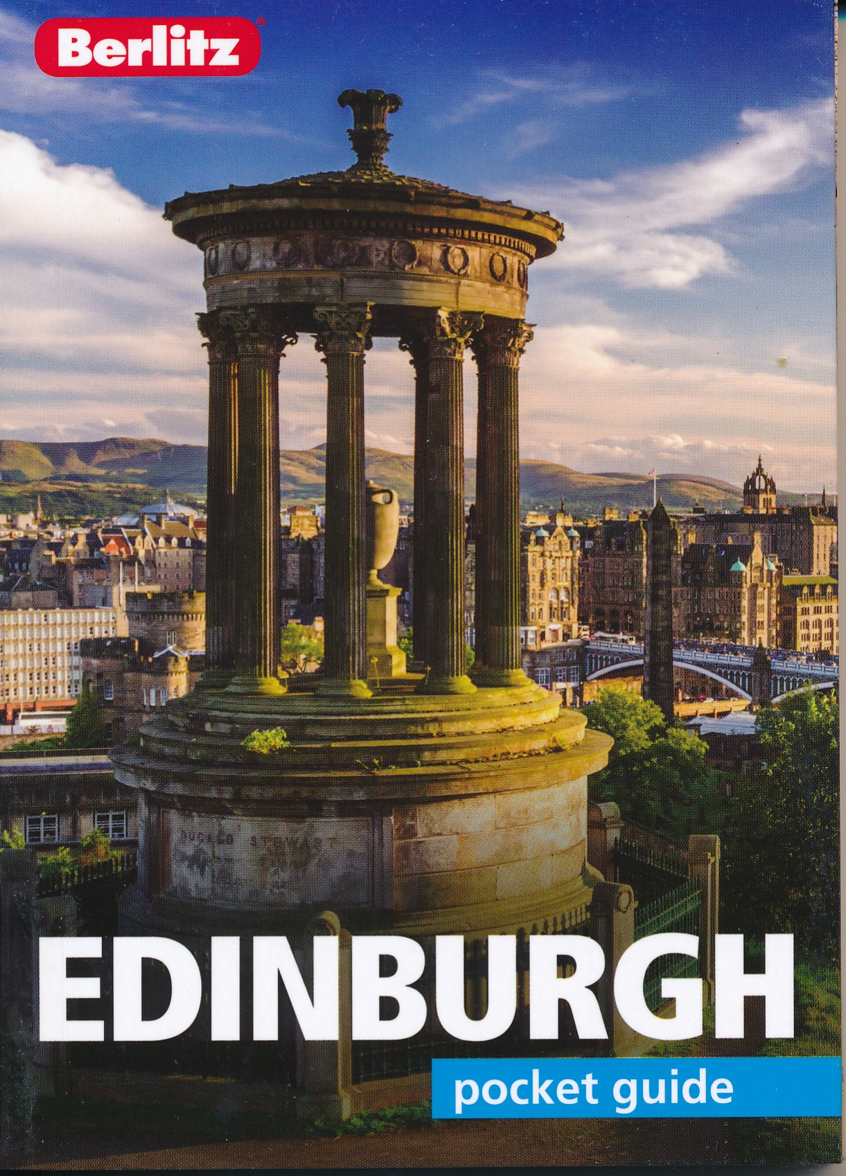
- Reisgids Pocket Guide Edinburgh | Berlitz
- Pocket Guide Berlitz is een handzaam engelstalige reisgids met bezienswaardigheden, kaartjes, hotels en restaurants. Past makkelijk in de binnenzak. This fully revised and updated Berlitz Pocket Guide is packed with all the information you need to enjoy Edinburgh, in a genuinely pocketable format. Places to go and unmissable attractions are... Read more
De Zwerver
Netherlands
2018
Netherlands
2018
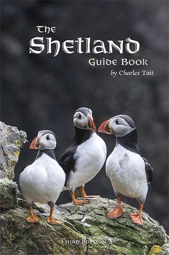
- Reisgids Shetland Guide Book | Charles Tait
- The Shetland Guide Book offers unrivalled detail on the more than 100 islands that make up the Shetland Isles. The islands have a wealth of archaeological history, from viking farms to bronze age burial mounds, but the natural wonders are just as impressive and this guide will tell you where you can catch a glimpse of everything from puffins to... Read more
De Zwerver
Netherlands
2018
Netherlands
2018
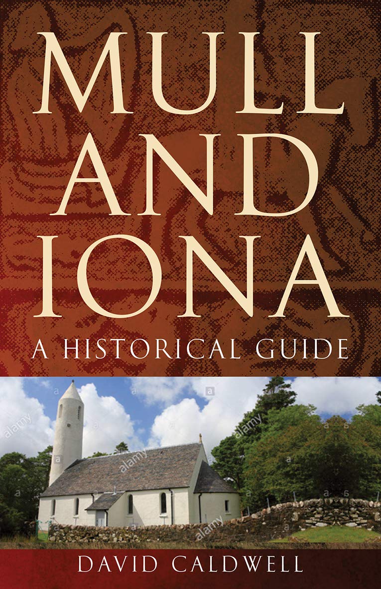
- Reisgids Mull and Iona - a historical guide | Birlinn
- Mull and Iona are two of the most visited islands in Scotland, and have played a central role in the history of the country. As the cradle of Christianity in Scotland, Iona has been a place of pilgrimage for almost 1,500 years and was a beacon of intellectual light during the Dark Ages, when magnificent works such as the Book of Kells were... Read more
De Zwerver
Netherlands
2019
Netherlands
2019
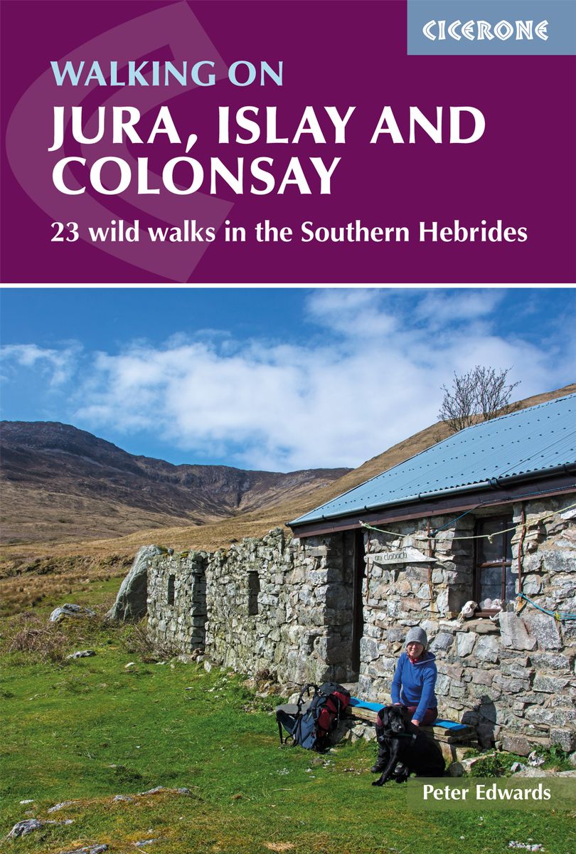
- Wandelgids Walking on Jura, Islay and Colonsay | Cicerone
- Guidebook to Jura, Scarba, Islay and Colonsay in the Hebrides, describing 22 walks plus a 5-day 89km trek along Jura's remote west coast. The routes range from 6.5 to 25km and cover rough - and often pathless - terrain suitable for fit, competent walkers. Even the coastal walks offer challenges. Read more
- Also available from:
- Stanfords, United Kingdom

Stanfords
United Kingdom
2019
United Kingdom
2019
- Walking on Jura, Islay and Colonsay: 23 wild walks in the Southern Hebrides
- This guidebook presents a selection of 23 walking routes on the wild and beautiful southern islands of Scotland`s Inner Hebrides, with nine walks on Jura, one on neighbouring Scarba, seven on Islay and five on Colonsay, plus a spectacular 5-day trek along Jura`s dramatic west coast. The wildest of the southern Hebrides, the walking on Jura is... Read more
De Zwerver
Netherlands
2017
Netherlands
2017
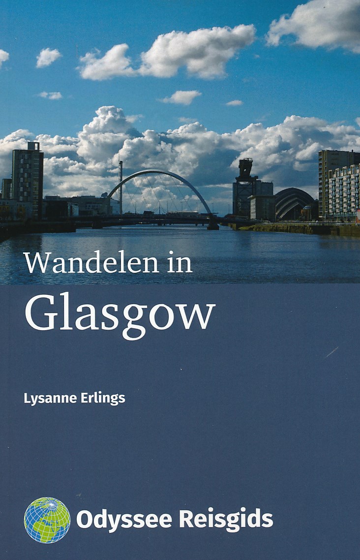
- Wandelgids Wandelen in Glasgow | Odyssee Reisgidsen
- ‘People Make Glasgow’. Het klinkt ietwat zoetsappig, maar deze nieuwe stadsslogan klopt als een bus. Zelfs de Glaswegians erkennen de stad heeft veel doorstaan. Glasgow floreerde tijdens de Industriële Revolutie. Het benoemde zichzelf tot tweede stad van het Engelse rijk, investeerde in transport en bouwde huizen, musea en ziekenhuizen in de... Read more
Kaarten
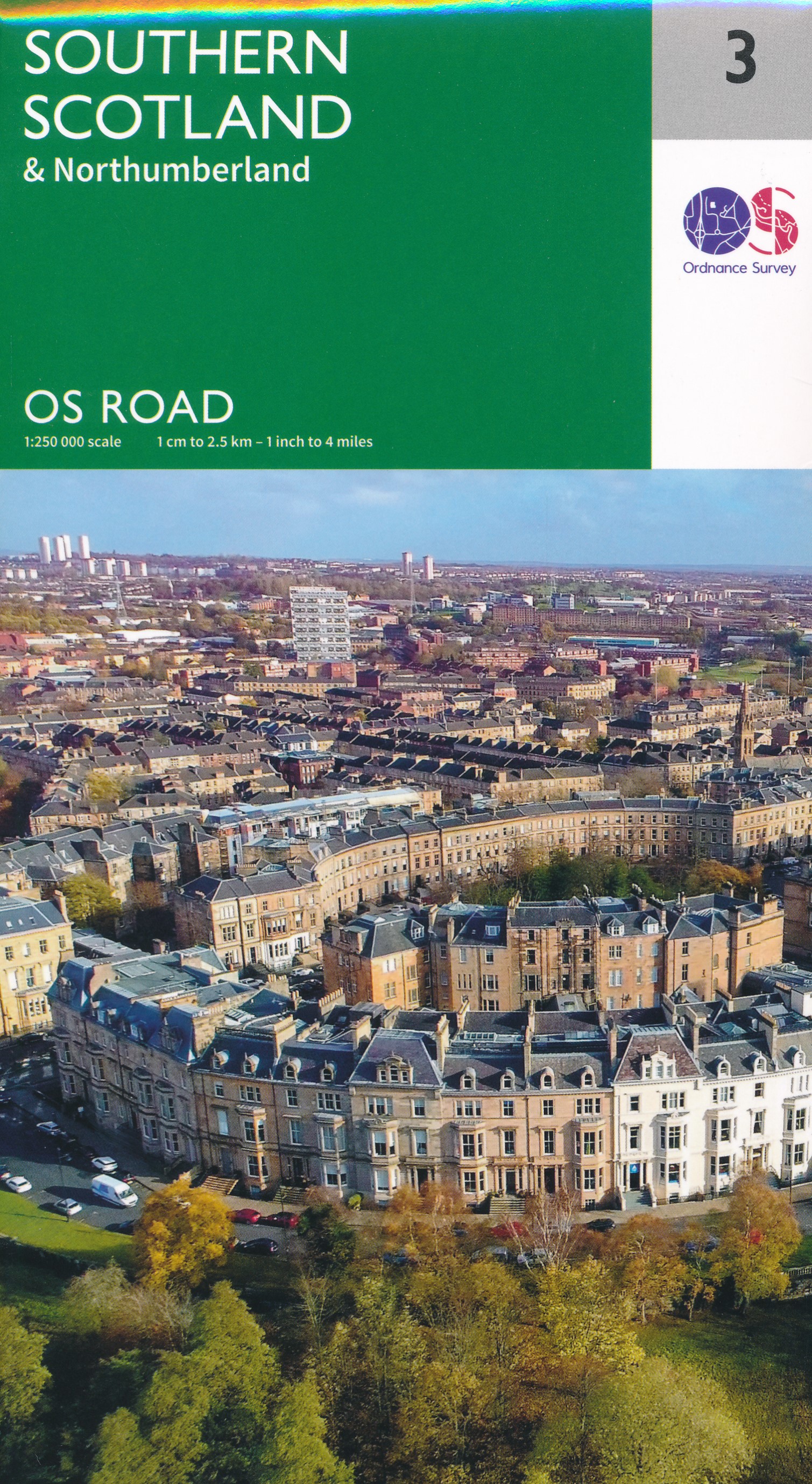
De Zwerver
Netherlands
2019
Netherlands
2019
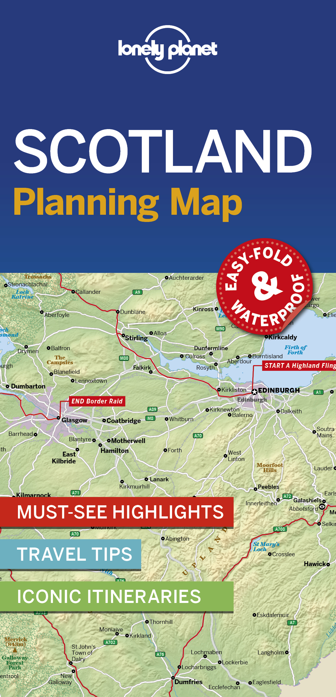
De Zwerver
Netherlands
2023
Netherlands
2023
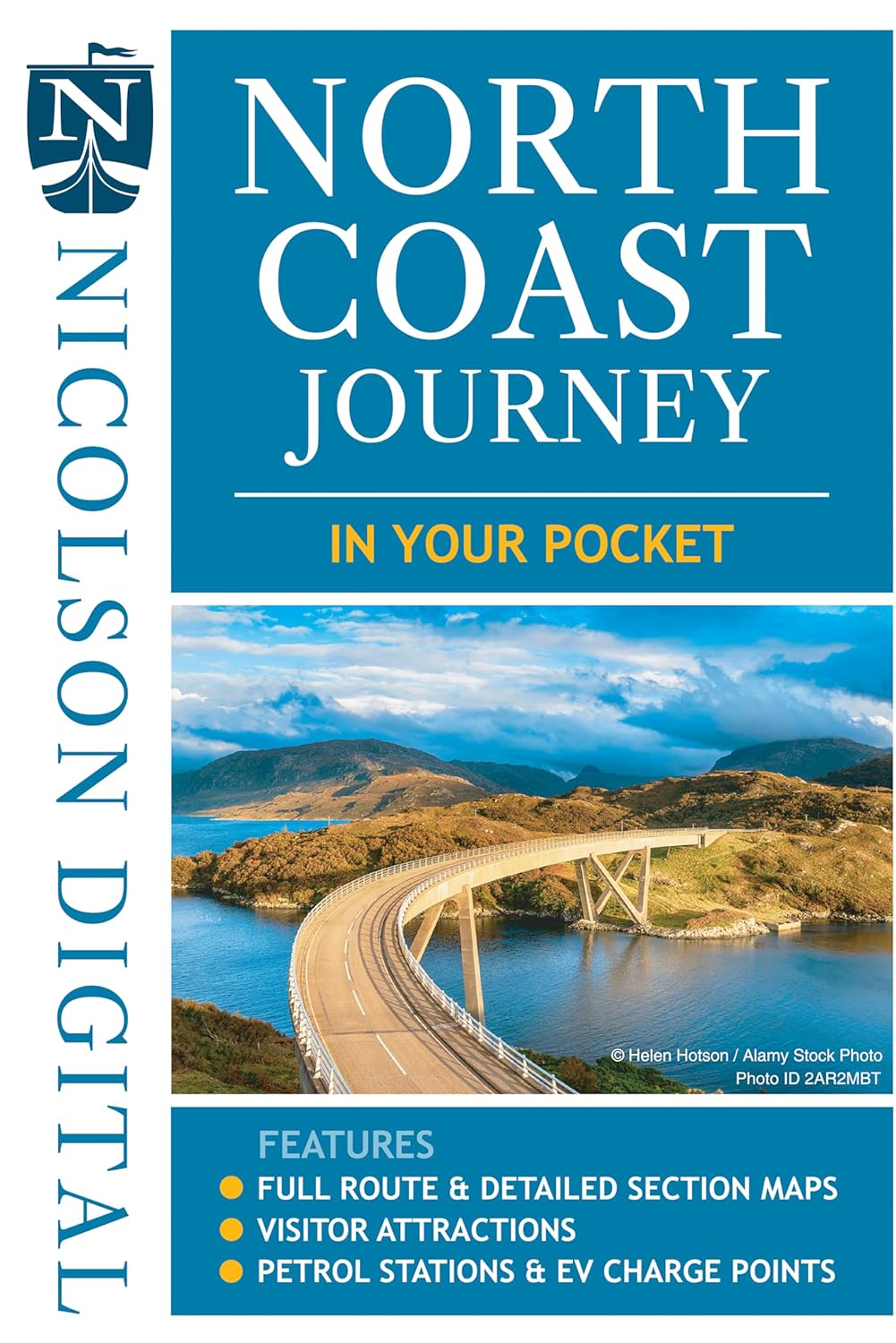
De Zwerver
Netherlands
2022
Netherlands
2022
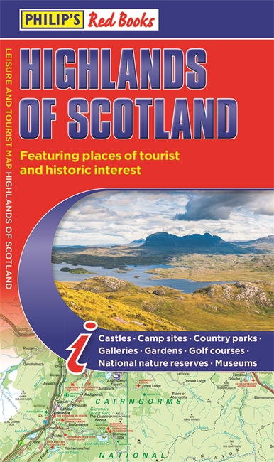
De Zwerver
Netherlands
2024
Netherlands
2024

De Zwerver
Netherlands
2022
Netherlands
2022
- Wandelkaart Ben Nevis | Harvey Maps
- Ben Nevis with the Mamores and Grey Corries ranges at 1:25,000 on a double-sided, waterproof and tear-resistant map from Harvey Map Services with the peak area shown in greater detail at 1:12,500. The map divides the area north/south, with a good overlap between the sides, extending from Fort William past Loch Treig to Chno Deang, plus south to... Read more
- Also available from:
- Stanfords, United Kingdom

Stanfords
United Kingdom
2022
United Kingdom
2022
- Ben Nevis - Mamores & Grey Corries Harvey Superwalker XT25
- Ben Nevis with the Mamores and Grey Corries ranges at 1:25,000 on a double-sided, waterproof and tear-resistant map from Harvey Map Services in their Superwalker series, with the peak area also shown in greater detail at 1:12,500. The map divides the area north/south, with a good overlap between the sides, extending from Fort William past Loch... Read more
De Zwerver
Netherlands
Netherlands
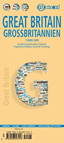
- Wegenkaart - landkaart Groot - Brittannië | Borch
- Grossbritannien / Great Britain 1 : 800 000 ab 9.9 EURO Scotland and Northern Ireland, England and Wales, Channel Crossings Borch Map. 13. Auflage Read more
De Zwerver
Netherlands
2019
Netherlands
2019

De Zwerver
Netherlands
2014
Netherlands
2014
- Wandelkaart Glyndwr's Way | Harvey Maps
- Glyndwr's Way, a 217km / 135 mile long trail from Knighton in Powys to Welshpool presented at 1:40,000 on a GPS compatible, light, waterproof and tear-resistant map from Harvey Map Services. The whole route is covered on eight overlapping panels. Map legend includes Welsh; most of the additional information is in English only.Maps in the Harvey Read more
- Also available from:
- Stanfords, United Kingdom

Stanfords
United Kingdom
2014
United Kingdom
2014
- Glyndwr`s Way Harvey National Trail XT40
- Glyndwr`s Way, a 217km / 135 mile long trail from Knighton in Powys to Welshpool presented at 1:40,000 on a GPS compatible, light, waterproof and tear-resistant map from Harvey Map Services. The whole route is covered on eight overlapping panels. Map legend includes Welsh; most of the additional information is in English only.Maps in the... Read more
De Zwerver
Netherlands
2017
Netherlands
2017
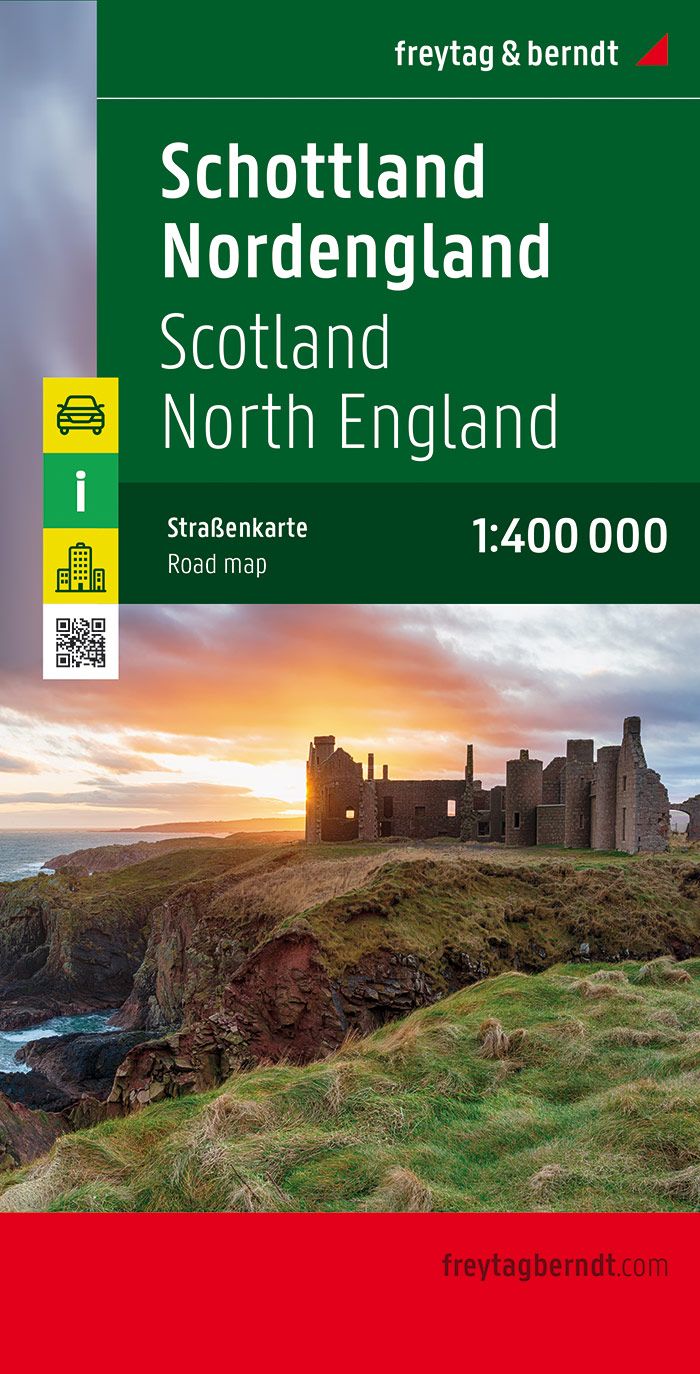
- Wegenkaart - landkaart Schotland en Noord Engeland | Freytag & Berndt
- Schottland, Nordengland 1 : 400 000. Autokarte ab 10.9 EURO Scotland, Nothern England / Citypläne / Ortsregister / Touristische Informationen Freytag & Berndt Autokarte. Neuauflage Read more
De Zwerver
Netherlands
2019
Netherlands
2019
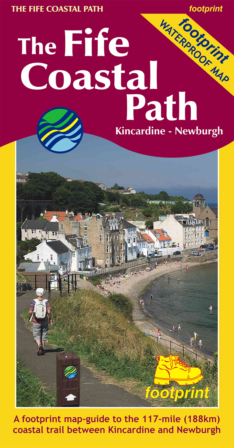
- Wandelkaart The Fife Coastal Path | Footprint maps
- High quality, specially created strip map of this unique 117 mile coastal path from the Kincardine Bridge to Newburgh on the Firth of Tay.This new edition contains maps of the whole route, at 1:40,000 and based on OS data. Compact and concise, the map is printed on waterproof paper and is supplied in a durable slipcase.For every copy of this... Read more
- Also available from:
- Stanfords, United Kingdom

Stanfords
United Kingdom
2019
United Kingdom
2019
- The Fife Coastal Path - Kincardine to Newburgh
- High quality, specially created strip map of this unique 117 mile coastal path from the Kincardine Bridge to Newburgh on the Firth of Tay.This new edition contains maps of the whole route, at 1:40,000 and based on OS data. Compact and concise, the map is printed on waterproof paper and is supplied in a durable slipcase.For every copy of this... Read more