Wales
Beschrijving
Kaart

Paden in deze landsdeel
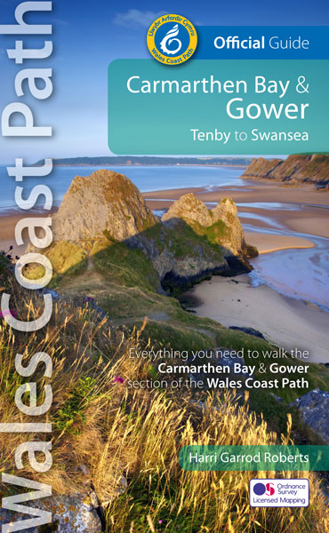
- All Wales Coast PathGPX
- Beacons WayGPX
- Cambrian Way
- Clwydian WayGPX
- Coed Morgannwg Way
- Dyfi Valley Way
- Glamorgan Ridgeway
- Glyndŵr's WayGPX
- Isle of Anglesey Coastal PathGPX
- Llŷn Coastal PathGPX
- North Wales PathGPX
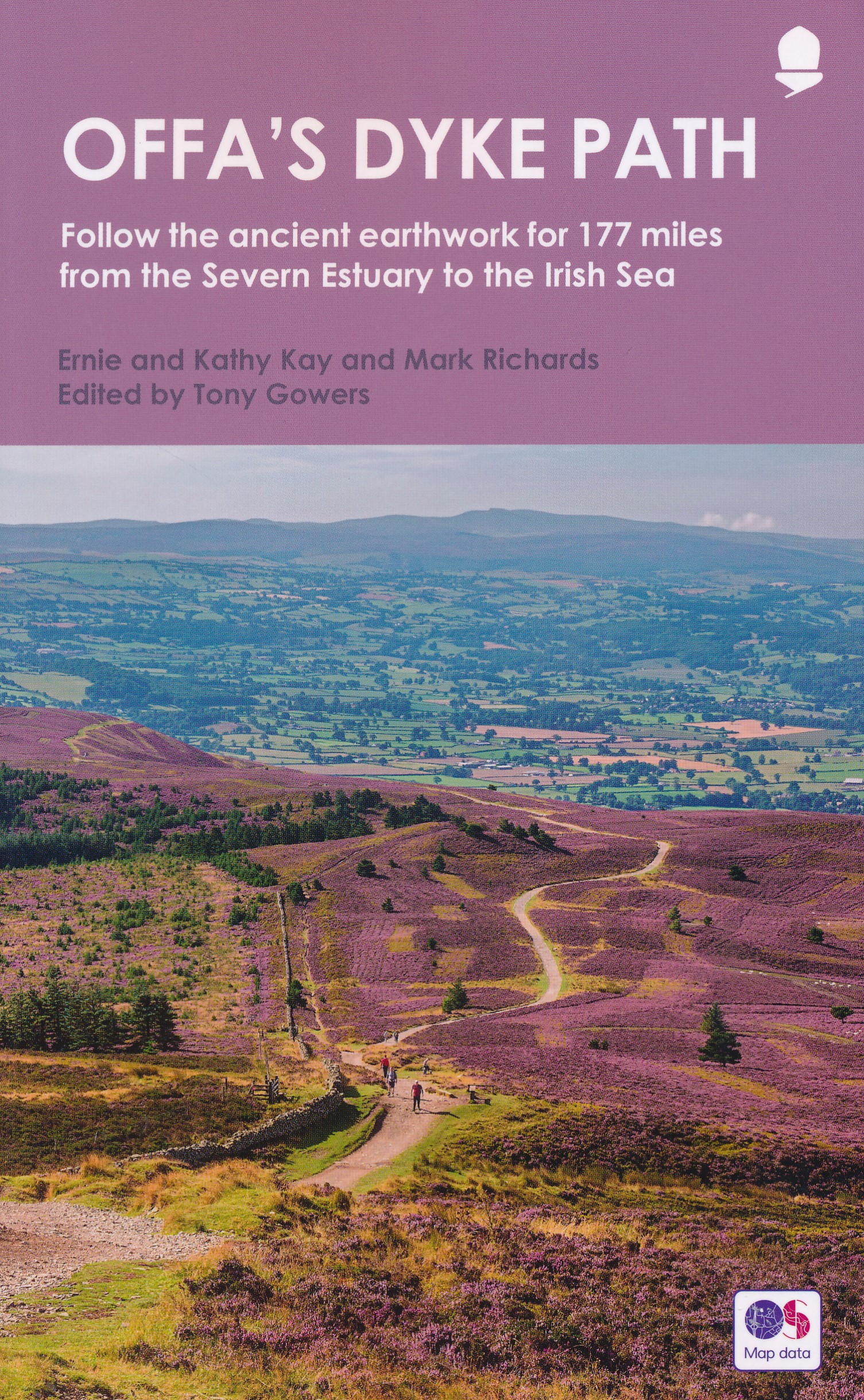
- Offa's Dyke PathGPX
- Pembrokeshire Coast PathGPX
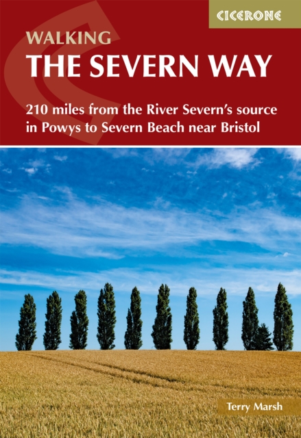
- Severn WayGPX
- Sirhowy Valley Walk
- Usk Valley WalkGPX
- Wye Valley WalkGPX
Links
Feiten
Verslagen
Gidsen en kaarten
Overnachting
Organisaties
Reisorganisaties
GPS
Anders
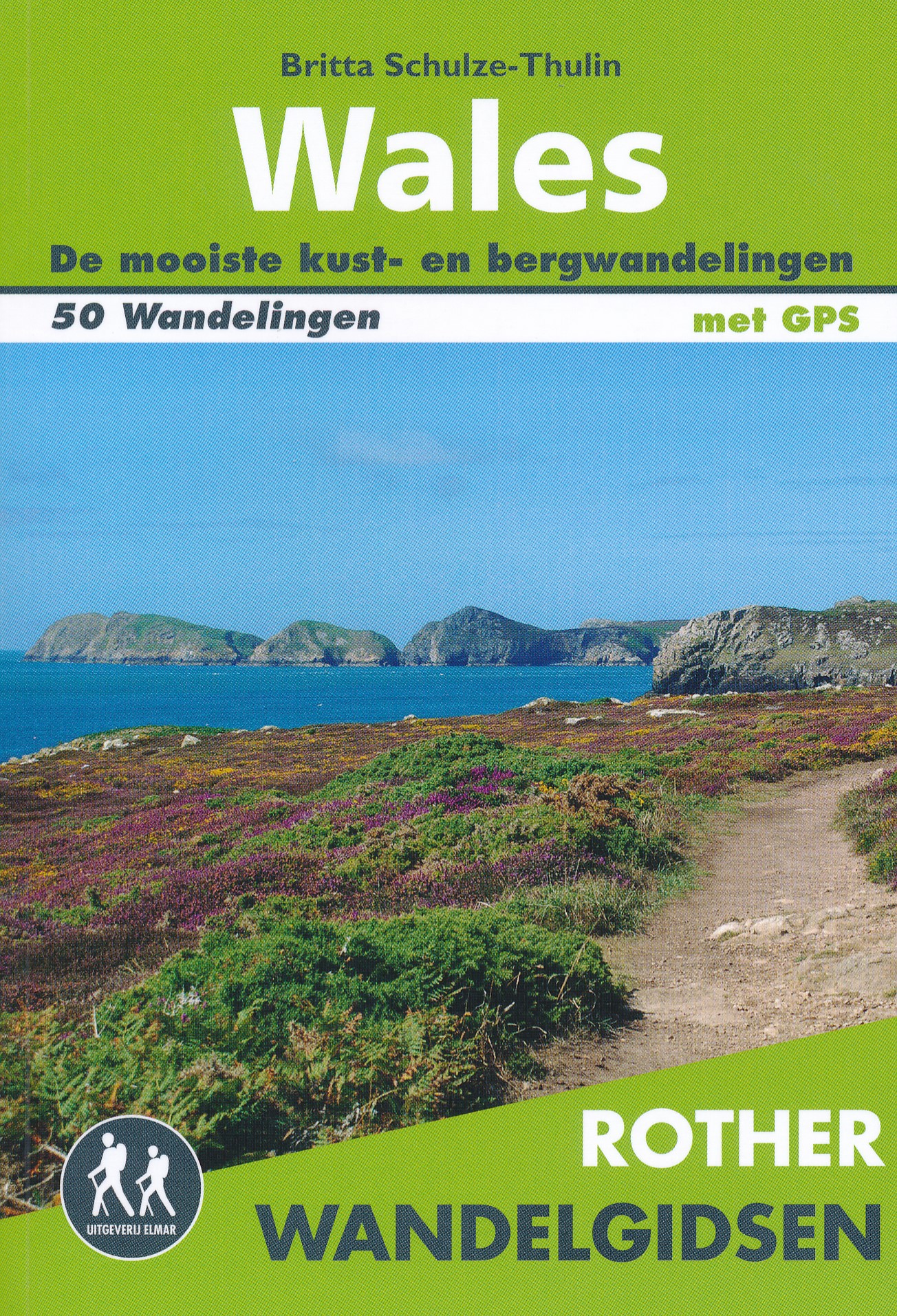
Boeken
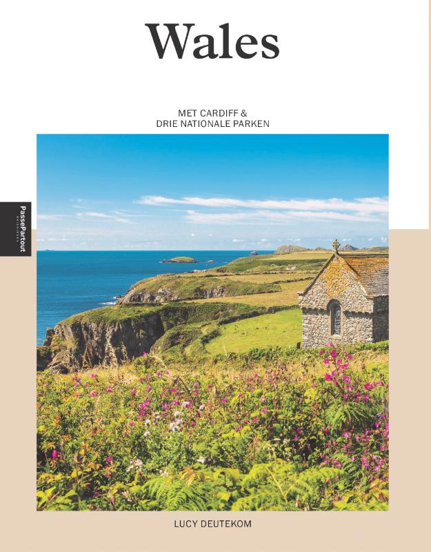
De Zwerver
Netherlands
2018
Netherlands
2018
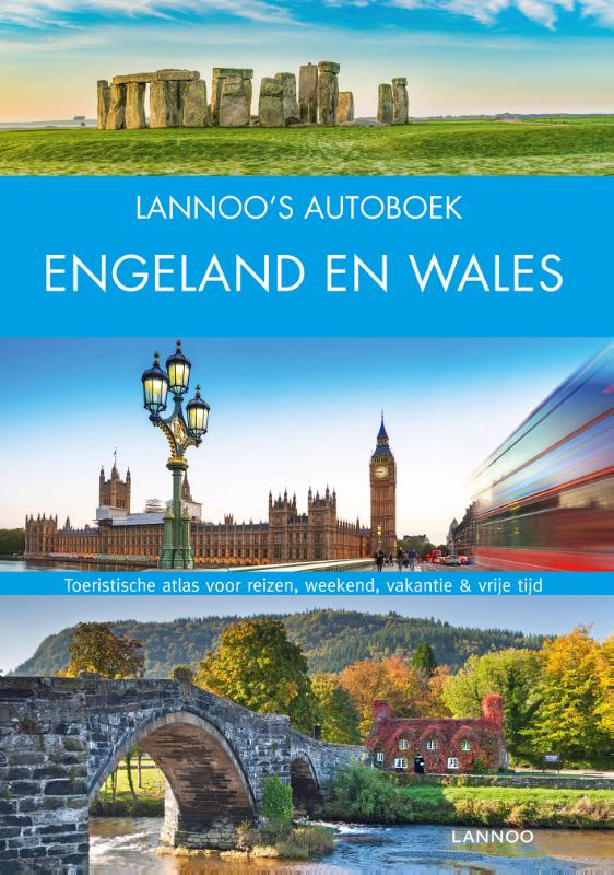
- Reisgids Lannoo's Autoboek Engeland en Wales | Lannoo
- Drie uitgestippelde autoroutes en twee stadswandelingen loodsen je oor de fraaiste regio's Atlas met kaarten op schaal 1:750.000 en meer dan 700 kleurenfoto's Handige geografische indeling en sterrenquotering England en Wales onderscheiden zich door verrassende contrasten: middeleeuwse steden, dromerige landschappen met pittoreske dorpjes,... Read more
De Zwerver
Netherlands
2021
Netherlands
2021

De Zwerver
Netherlands
2024
Netherlands
2024
- Reisgids Snowdonia & North Wales | Rough Guides
- Rough Guides Staycations Snowdonia & North WalesMake the most of your time on Earth with the ultimate travel guides.Inspirational and informative new pocket guide, with free eBook, making the most of holidaying at home in the UK through clearly laid-out walks and tours.Explore the best of Snowdonia & North Wales with this unique travel guide,... Read more
- Also available from:
- Stanfords, United Kingdom

Stanfords
United Kingdom
2021
United Kingdom
2021
- Pocket Rough Guide Staycations Snowdonia & North Wales (Travel Guide with Free eBook)
- Rough Guides Staycations Snowdonia & North WalesMake the most of your time on Earth with the ultimate travel guides.Inspirational and informative new pocket guide, with free eBook, making the most of holidaying at home in the UK through clearly laid-out walks and tours.Explore the best of Snowdonia & North Wales with this unique travel guide,... Read more

De Zwerver
Netherlands
2021
Netherlands
2021
- Wandelgids Offa's Dyke Path (Prestatyn - Chepstow) | Aurum Press
- National Trail Guide Read more
De Zwerver
Netherlands
2021
Netherlands
2021
De Zwerver
Netherlands
2022
Netherlands
2022
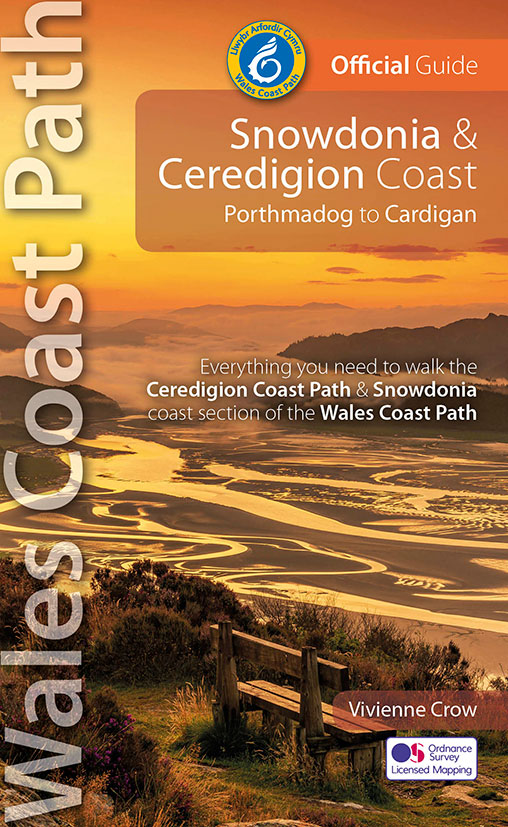
- Wandelgids Wales Coast Path: Snowdonia and Ceredigion | Northern Eye Books
- Porthmadog to Cardigan Read more
De Zwerver
Netherlands
2016
Netherlands
2016
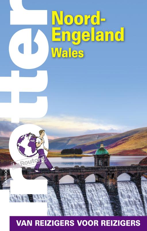
- Reisgids Trotter Noord-Engeland en Wales | Lannoo
- Een uitgebreide reisgids over Noord Engeland en Wales met veel praktische informatie en beschrijvingen van de bezienswaardigheden. Weinig to geen foto's; maar juist daardoor veel tekst en dus veel informatie. Eigenzinnig van aard met een soms duidelijk oordeel wat je beter wel of niet kunt doen, doorspekt met droge humor. Prettig leesbaar en... Read more
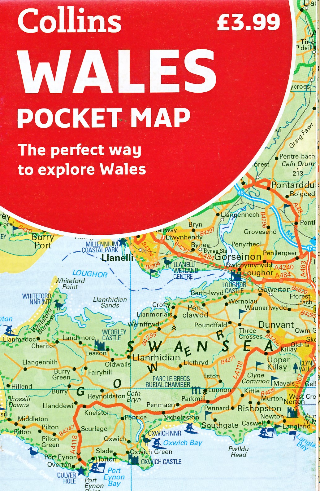
Kaarten
De Zwerver
Netherlands
Netherlands
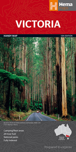
- Wegenkaart - landkaart Victoria handy map - tweezijdig | Hema Maps
- Victoria State Handy Map 1 : 850 000 ab 9.49 EURO 12th Revised edition Read more
De Zwerver
Netherlands
Netherlands
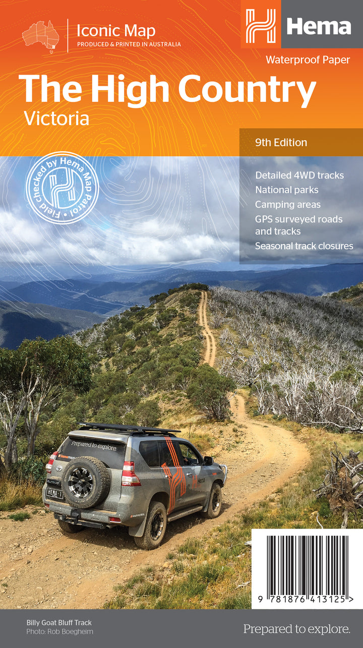
- Wegenkaart - landkaart Iconic Map The High Country | Hema Maps
- High Country Victoria 1:200 000 ab 14.99 EURO Hema Maps. 9. Auflage Read more

De Zwerver
Netherlands
2014
Netherlands
2014
- Wandelkaart Glyndwr's Way | Harvey Maps
- Glyndwr's Way, a 217km / 135 mile long trail from Knighton in Powys to Welshpool presented at 1:40,000 on a GPS compatible, light, waterproof and tear-resistant map from Harvey Map Services. The whole route is covered on eight overlapping panels. Map legend includes Welsh; most of the additional information is in English only.Maps in the Harvey Read more
- Also available from:
- Stanfords, United Kingdom

Stanfords
United Kingdom
2014
United Kingdom
2014
- Glyndwr`s Way Harvey National Trail XT40
- Glyndwr`s Way, a 217km / 135 mile long trail from Knighton in Powys to Welshpool presented at 1:40,000 on a GPS compatible, light, waterproof and tear-resistant map from Harvey Map Services. The whole route is covered on eight overlapping panels. Map legend includes Welsh; most of the additional information is in English only.Maps in the... Read more
De Zwerver
Netherlands
Netherlands
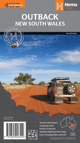
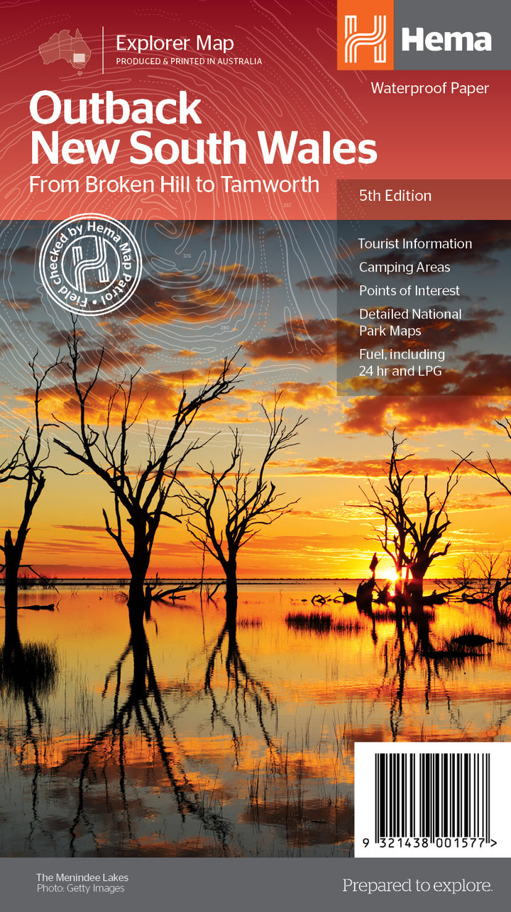
- Wegenkaart - landkaart Outback New South Wales | Hema Maps
- Outback New South Wales 1 : 1 100 000 ab 12.49 EURO 5th edition Read more
De Zwerver
Netherlands
Netherlands
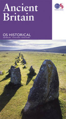
- Wegenkaart - landkaart Ancient Britain | Ordnance Survey
- Ancient Britain’s sites, monuments and related museums overprinted on a large, double-sided present day map of the country at 1:625,000 from the Ordnance Survey, plus numerous panels, maps and photos providing extensive additional information.The base map has altitude colouring to indicate the topography and shows the present day road network.... Read more
- Also available from:
- Stanfords, United Kingdom

Stanfords
United Kingdom
United Kingdom
- Ancient Britain OS Map
- Ancient Britain’s sites, monuments and related museums overprinted on a large, double-sided present day map of the country at 1:625,000 from the Ordnance Survey, plus numerous panels, maps and photos providing extensive additional information.The base map has altitude colouring to indicate the topography and shows the present day road network.... Read more
De Zwerver
Netherlands
Netherlands
De Zwerver
Netherlands
Netherlands
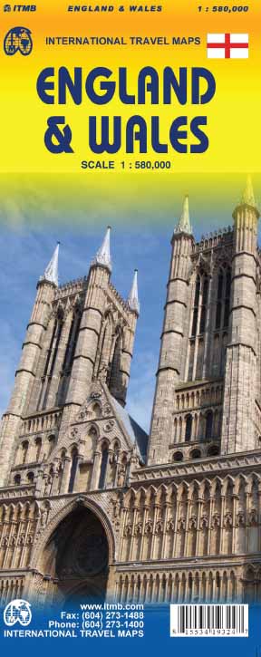
- Wegenkaart - landkaart England & Wales - Engeland | ITMB
- England / Wales Travel Reference Map 1 : 580 000 ab 10.49 EURO 2nd edition Read more
Meer kaarten…