
South Downs Way
Beschrijving
- Name South Downs Way
- Lengte van pad 163 km, 101 mijl
- Lengte in dagen 8 dagen
- Start van pad Eastbourne
- Traildino graad EW, Makkelijke wandeling, natuurpad


SW

101 miles, 162 km, 8 days
National Trail
The South Downs Way is a National Trail, like its northern neighbour, the North Downs Way.
The Way is one of the most popular walks in England. The 100 mile or so start in Bournemouth, and here the walker is offered two choices. The coastal path runs along spectacular chalk cliffs, among them the Seven Sisters. This stretch is for walkers only. The inland leg is also accessible for cyclists and on horseback, as is the rest of the trail up till its end point in the historical city of Winchester.
The Downs essentially is a range of broad hills, mostly bare, cultivated with crops and grassland, offering good views over a patchwork of fields on both sides. The path mostly stays on the crest of the hills, but often dips into North South running ceasures where one usually has to cross, often in perilous circumstances, busy roads. That's one thing to mention: sandwiched between London and the cities in the south, this is a busy part of the country.
Originally, the chalk hills offered a rich and varied biosphere for all sorts of rare plants and insects, but these days, the only places you may spot these living treasures, are sites protected by conservationist organisations. All the rest of the country is quite dullified, the result of the interaction of farmers wishing to earn a decent living and consumers wishing to pay low prices.
Accommodation on the trail itself is scarce. A few Youth Hostels and the odd village. Most of the villages lie in the lowlands, way off the path. But the before mentioned suicide road crossings come in handy here, because regular bus services will carry you off and on the trail, into the villages and even seaside resorts like Brighton.
It may be lovely weather on the downs, with all kinds of birds and warblers whirling around, and even Red Kite and Raven in the air. But there also may be ferocious winds and rains, which, in a open landscape, is surely going to test your guts: be well prepared.
Kaart

Links
Feiten
Verslagen
Gidsen en kaarten
Overnachting
Organisaties
Reisorganisaties
GPS
Anders
Boeken
De Zwerver
Netherlands
2015
Netherlands
2015
- Wandelgids the National Trails - Great British Walks - Engeland, Wales en Schotland | Cicerone
- This inspirational guidebook looks at each of the UK's 19 National Trails, with information that allows ease of comparison and contrast, inspiring you to find out more and to take up a long-distance challenge. Some Trails are short and easy, others much longer, many have strong themes - they may follow a coastline, or traverse ranges of hills. Read more
De Zwerver
Netherlands
2021
Netherlands
2021
- Reisgids Brighton, Sussex & the South Downs | Rough Guides
- Rough Guides Staycations Brighton, Sussex and the South DownsMake the most of your time on Earth with the ultimate travel guides.Inspirational and informative new pocket guide, with free eBook, making the most of holidaying at home in the UK through clearly laid-out walks and tours.Explore the best of Brighton, Sussex and the South Downs with... Read more
- Also available from:
- Stanfords, United Kingdom

Stanfords
United Kingdom
2021
United Kingdom
2021
- Pocket Rough Guide Staycations Brighton, Sussex & the South Downs (Travel Guide with Free eBook)
- Rough Guides Staycations Brighton, Sussex and the South DownsMake the most of your time on Earth with the ultimate travel guides.Inspirational and informative new pocket guide, with free eBook, making the most of holidaying at home in the UK through clearly laid-out walks and tours.Explore the best of Brighton, Sussex and the South Downs with... Read more
De Zwerver
Netherlands
2021
Netherlands
2021
- Reisgids Road Trips Great Britain | Dorling Kindersley
- With its idyllic market towns, romantic castle ruins and stunning natural landscapes, Great Britain is the perfect destination for a leisurely road trip. It`s yours to explore with Road Trips Great Britain, which contains 25 drives across the country, from the sweeping sandy beaches of Cornwall to the dramatic peaks of the Scottish... Read more
- Also available from:
- Stanfords, United Kingdom

Stanfords
United Kingdom
2021
United Kingdom
2021
- DK Eyewitness Road Trips Great Britain
- With its idyllic market towns, romantic castle ruins and stunning natural landscapes, Great Britain is the perfect destination for a leisurely road trip. It`s yours to explore with Road Trips Great Britain, which contains 25 drives across the country, from the sweeping sandy beaches of Cornwall to the dramatic peaks of the Scottish... Read more
De Zwerver
Netherlands
2021
Netherlands
2021
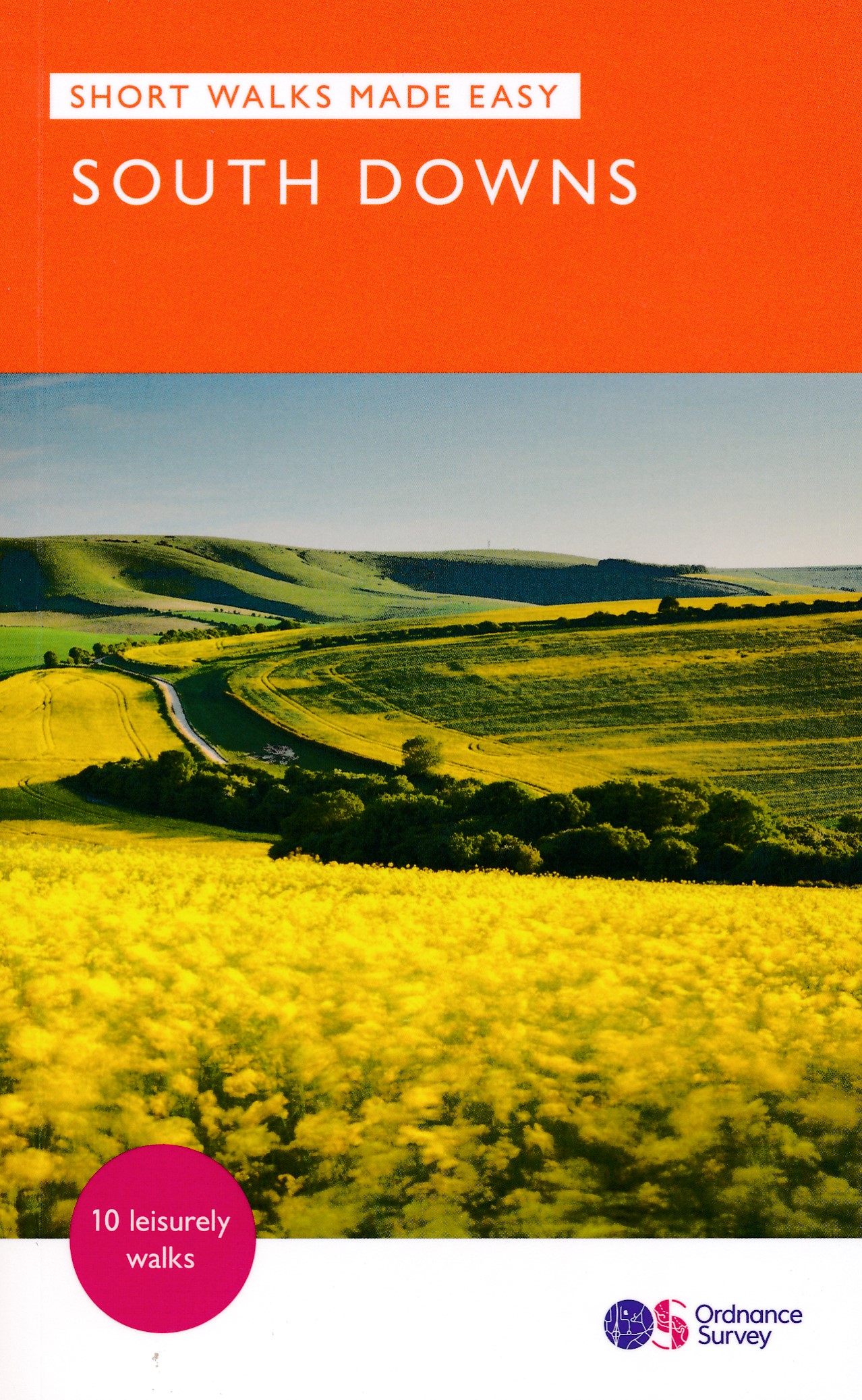
- Wandelgids South Downs National Park | Ordnance Survey
- 10 carefully curated walks in the Lake District/South Downs National Park for the casual and less experienced walker, with a focus on Accessible routes, Quieter areas, Parking and public transport options, Info for dog walkers, Telling the stories behind the walk, Nature notes, Refreshment stops & Taking your time. Read more
- Also available from:
- Stanfords, United Kingdom

Stanfords
United Kingdom
2021
United Kingdom
2021
- South Downs National Park Short Walks Made Easy - 10 Leisurely Walks
- 10 carefully curated walks in the Lake District/South Downs National Park for the casual and less experienced walker, with a focus on Accessible routes, Quieter areas, Parking and public transport options, Info for dog walkers, Telling the stories behind the walk, Nature notes, Refreshment stops & Taking your time. Read more
De Zwerver
Netherlands
2021
Netherlands
2021
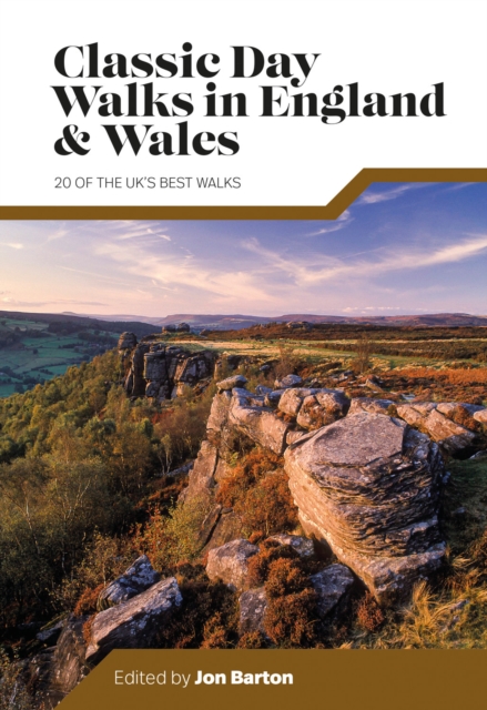
- Wandelgids Day Walks Classic Day Walks in England & Wales | Vertebrate Publishing
- 20 of the UK's best walks Read more
- Also available from:
- Stanfords, United Kingdom

Stanfords
United Kingdom
2021
United Kingdom
2021
- Classic Day Walks in England & Wales: 20 of the UK`s best walks
- Classic Day Walks in England & Wales features a selection of 20 of the best day-length hillwalking routes from Vertebrate Publishing`s popular series of walking guidebooks.Edited by Jon Barton, this guidebook takes you to the best hiking country in England and Wales: take in Lake District fells, traverse Hadrian`s Wall, ramble in the South... Read more

De Zwerver
Netherlands
2017
Netherlands
2017
- Reisgids Slow Travel Sussex - South Downs - Weald & Coast | Bradt Travel Guides
- This new, thoroughly updated edition of Bradt`s much-praised guide to Sussex, including the South Downs, Eastern Weald and Coast offers a greater and more personal selection of places to explore and discover than any other guide. Resident expert author Tim Locke takes a leisurely, detailed approach that is highly personal, honest and critical,... Read more
- Also available from:
- Stanfords, United Kingdom
Stanfords
United Kingdom
2017
United Kingdom
2017
- Sussex (Slow Travel) Bradt Guide
- This new, thoroughly updated edition of Bradt`s much-praised guide to Sussex, including the South Downs, Eastern Weald and Coast offers a greater and more personal selection of places to explore and discover than any other guide. Resident expert author Tim Locke takes a leisurely, detailed approach that is highly personal, honest and critical,... Read more
De Zwerver
Netherlands
2022
Netherlands
2022
- Wegenkaart - landkaart National Park Pocket Map South Downs | Collins
- Handy little full colour map of South Downs National Park. Detailed mapping and visitor information to the National Park along with a selection of photographs. Map at a scale of 1:125 000 (1cm to 1.25km, 2.0 miles to 1 inch). This small map gives a great overview of the South Downs National Park, and is the perfect companion... Read more
Bol.com
Netherlands
Netherlands
- Central Sussex & South Surrey Cycle Map
- Part of a series of pocket sized, folded maps intended for the the National Cycle Network which include clearly mapped on-road and traffic-free paths, easy to read contours and detailed town insets, this title includes maps in 1:110,000 scale; folded 155mm X 99mm; flat 792mm X 630mm. Read more
- Also available from:
- Bol.com, Belgium
Bol.com
Belgium
Belgium
- Central Sussex & South Surrey Cycle Map
- Part of a series of pocket sized, folded maps intended for the the National Cycle Network which include clearly mapped on-road and traffic-free paths, easy to read contours and detailed town insets, this title includes maps in 1:110,000 scale; folded 155mm X 99mm; flat 792mm X 630mm. Read more
Bol.com
Netherlands
Netherlands
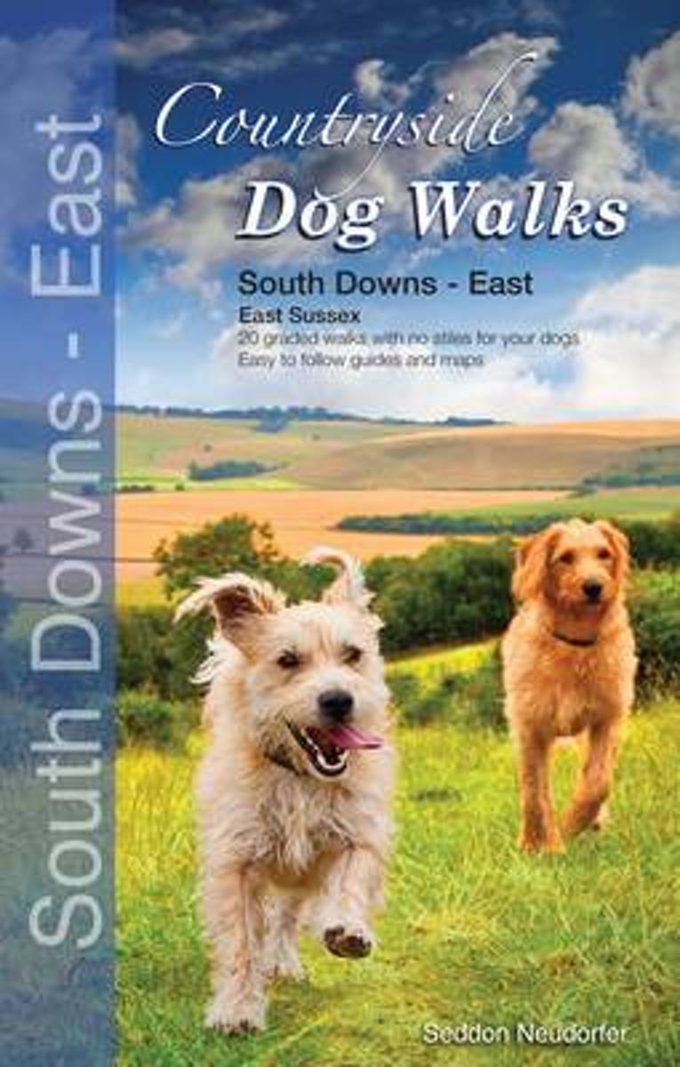
- Countryside Dog Walks
- This book is the first in a series of three books covering the South Downs National Park. The attractive and cleverly structured guidebook gives dog walkers access to 20 of the finest walks in the eastern region (East Sussex) of the National Park. With clear information, an introduction for each walk and simple, easy-to-read maps, this... Read more
- Also available from:
- Bol.com, Belgium
Bol.com
Belgium
Belgium
- Countryside Dog Walks
- This book is the first in a series of three books covering the South Downs National Park. The attractive and cleverly structured guidebook gives dog walkers access to 20 of the finest walks in the eastern region (East Sussex) of the National Park. With clear information, an introduction for each walk and simple, easy-to-read maps, this... Read more
Bol.com
Netherlands
Netherlands
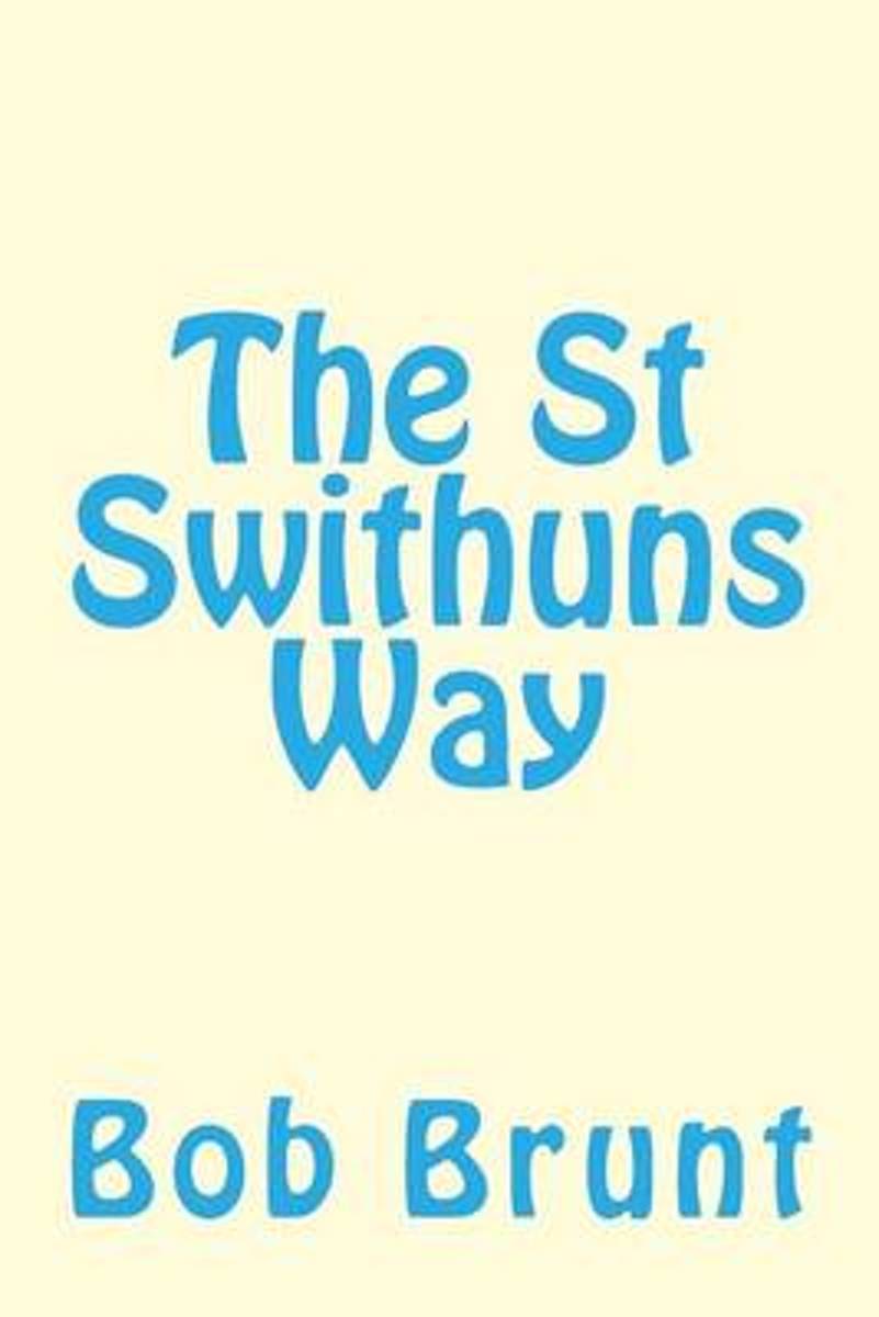
- The St Swithuns Way
- A guide to the long distance trail between Farnham and Winchester linking both the North and South Downs Way. Read more
- Also available from:
- Bol.com, Belgium
- The Book Depository, United Kingdom
Bol.com
Belgium
Belgium
- The St Swithuns Way
- A guide to the long distance trail between Farnham and Winchester linking both the North and South Downs Way. Read more

Bol.com
Netherlands
Netherlands
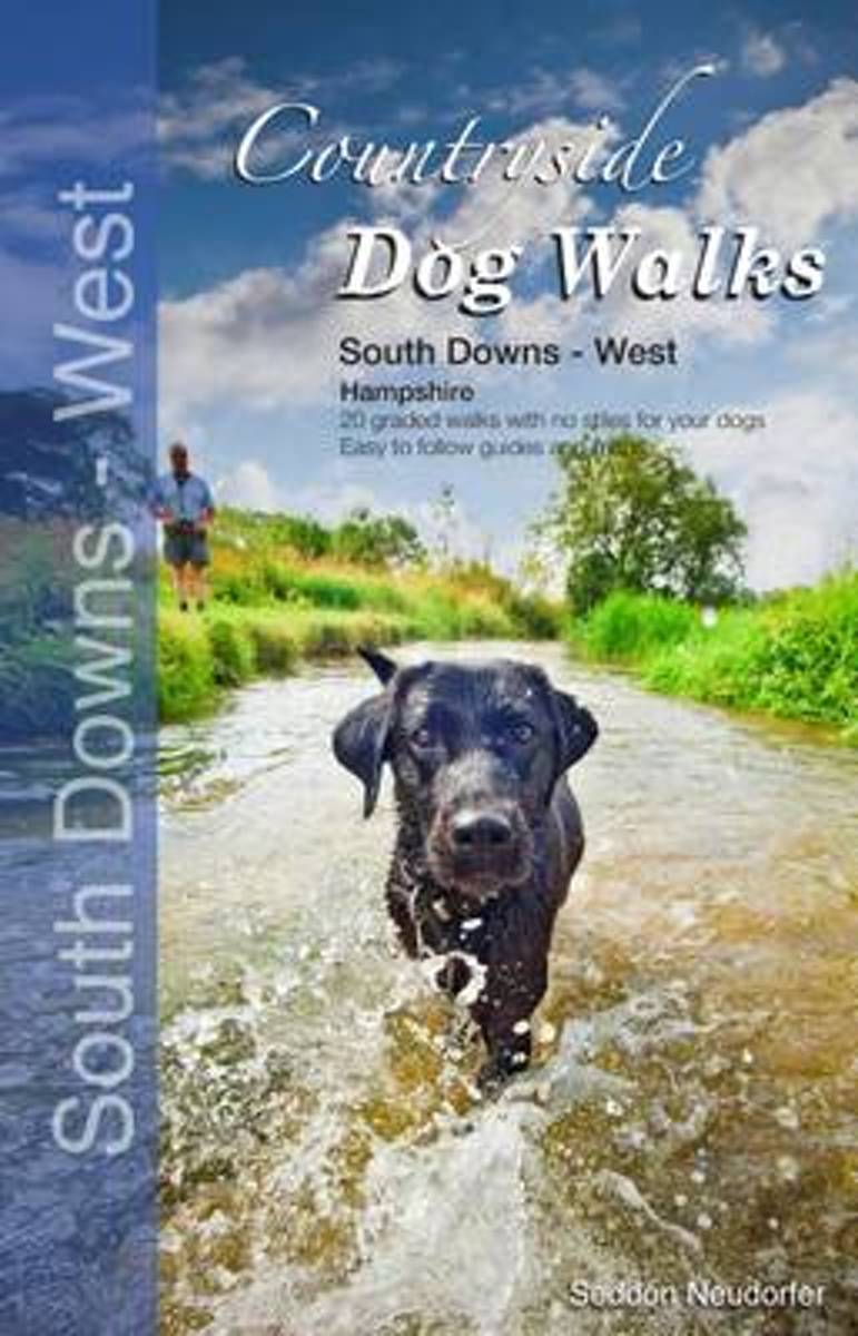
- Countryside Dog Walks
- This attractive and cleverly structured guidebook gives dog walkers access to 20 of the finest walks in the west region (Hampshire) of the South Downs National Park. The book is the third in a series of three books covering the National Park. Areas included are: Liss Forest, Petersfield, Butser Hill, West Meon, Droxford, Beacon Hill, Avington,... Read more
- Also available from:
- Bol.com, Belgium
- Stanfords, United Kingdom
Bol.com
Belgium
Belgium
- Countryside Dog Walks
- This attractive and cleverly structured guidebook gives dog walkers access to 20 of the finest walks in the west region (Hampshire) of the South Downs National Park. The book is the third in a series of three books covering the National Park. Areas included are: Liss Forest, Petersfield, Butser Hill, West Meon, Droxford, Beacon Hill, Avington,... Read more

Stanfords
United Kingdom
United Kingdom
- Countryside Dog Walks: South Downs : West (Hampshire)
- This attractive and cleverly structured guidebook gives dog walkers access to 20 of the finest walks in the west region (Hampshire) of the South Downs National Park. The book is the third in a series of three books covering the National Park. Areas included are: Liss Forest, Petersfield, Butser Hill, West Meon, Droxford, Beacon Hill, Avington,... Read more
Kaarten

De Zwerver
Netherlands
Netherlands
- Wandelkaart - Fietskaart South Downs Way | Harvey Maps
- The South Downs Way, a 160km / 100 mile National Trail from Eastbourne to Winchester, presented at 1:40,000 on a light, waterproof and tear-resistant map from Harvey Map Services. The route is shown on nine panels, with additional small street plans of Eastbourne and Winchester. Map legend and the accompanying notes are also in French and... Read more
- Also available from:
- Stanfords, United Kingdom

Stanfords
United Kingdom
United Kingdom
- South Downs Way Harvey National Trail XT40
- The South Downs Way, a 160km / 100 mile National Trail from Eastbourne to Winchester, presented at 1:40,000 on a light, waterproof and tear-resistant map from Harvey Map Services. The route is shown on nine panels, with additional small street plans of Eastbourne and Winchester. Map legend and the accompanying notes are also in French and... Read more
De Zwerver
Netherlands
2023
Netherlands
2023
Bol.com
Netherlands
2017
Netherlands
2017
- Thames Path Adventure Atlas
- The A-Z Adventure series features the accuracy and quality of Ordnance Survey`s Explorer mapping in a convenient book, therefore eliminating the need to fold and re-fold a large sheet map to the desired area. OS Explorer is Ordnance Survey`s most detailed mapping at a scale of 1:25 000 showing public rights of way, open access land, national... Read more
- Also available from:
- Bol.com, Belgium
- Stanfords, United Kingdom
Bol.com
Belgium
2017
Belgium
2017
- Thames Path Adventure Atlas
- The A-Z Adventure series features the accuracy and quality of Ordnance Survey`s Explorer mapping in a convenient book, therefore eliminating the need to fold and re-fold a large sheet map to the desired area. OS Explorer is Ordnance Survey`s most detailed mapping at a scale of 1:25 000 showing public rights of way, open access land, national... Read more
Stanfords
United Kingdom
2017
United Kingdom
2017
- Thames Path A-Z Adventure Atlas
- The A-Z Adventure series features the accuracy and quality of Ordnance Survey`s Explorer mapping in a convenient book, therefore eliminating the need to fold and re-fold a large sheet map to the desired area. OS Explorer is Ordnance Survey`s most detailed mapping at a scale of 1:25 000 showing public rights of way, open access land, national... Read more

Bol.com
Netherlands
Netherlands
- England Coast Path Camber to Folkestone Adventure Map
- The A-Z Adventure Series of maps combines the best of OS and A-Z, creating the perfect companion for walkers, off-road cyclists, horse riders and anyone wishing to explore the great outdoors.This official Camber to Folkestone Adventure Map section of the England Coast Path, a new National Trail around England`s coast. More than just a path, it... Read more
- Also available from:
- Bol.com, Belgium
- Stanfords, United Kingdom
Bol.com
Belgium
Belgium
- England Coast Path Camber to Folkestone Adventure Map
- The A-Z Adventure Series of maps combines the best of OS and A-Z, creating the perfect companion for walkers, off-road cyclists, horse riders and anyone wishing to explore the great outdoors.This official Camber to Folkestone Adventure Map section of the England Coast Path, a new National Trail around England`s coast. More than just a path, it... Read more

Stanfords
United Kingdom
United Kingdom
- England Coast Path - Camber to Folkestone Adventure Map
- The A-Z Adventure Series of maps combines the best of OS and A-Z, creating the perfect companion for walkers, off-road cyclists, horse riders and anyone wishing to explore the great outdoors.This official Camber to Folkestone Adventure Map section of the England Coast Path, a new National Trail around England`s coast. More than just a path, it... Read more

Bol.com
Netherlands
Netherlands
- England Coast Path Folkestone to Ramsgate Adventure Map
- The A-Z Adventure Series of maps combines the best of OS and A-Z, creating the perfect companion for walkers, off-road cyclists, horse riders and anyone wishing to explore the great outdoors.This official Folkestone to Ramsgate Adventure Map section of the England Coast Path, a new National Trail around England`s coast. More than just a path,... Read more
- Also available from:
- Bol.com, Belgium
Bol.com
Belgium
Belgium
- England Coast Path Folkestone to Ramsgate Adventure Map
- The A-Z Adventure Series of maps combines the best of OS and A-Z, creating the perfect companion for walkers, off-road cyclists, horse riders and anyone wishing to explore the great outdoors.This official Folkestone to Ramsgate Adventure Map section of the England Coast Path, a new National Trail around England`s coast. More than just a path,... Read more

Stanfords
United Kingdom
United Kingdom
- Chichester and the South Downs 1810-1813
- Map No. 197, Chichester and the South Downs 1810-1813, in the Cassini Historical Series of old Ordnance Survey mapping of England and Wales at 1:50,000 in a format designed to offer a convenient comparison with the present day coverage from the OS, and most locations in three different editions. Old historical maps have been combined so that... Read more

Stanfords
United Kingdom
2017
United Kingdom
2017
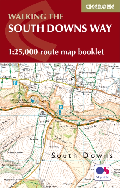
- South Downs Way A-Z Adventure Atlas
- The South Downs Way at 1:25,000 in a series of handy A5 size Adventure Atlases from Geographers` A-Z Map Company with cartography from the Ordnance Survey’s Explorer series. The atlas shows the whole course of this national trail from Winchester to Eastbourne, with the variants via the Beachy Head and the Seven Sisters, or via Jevington.To see... Read more
Stanfords
United Kingdom
United Kingdom
- Chichester and the South Downs 1919-1920
- Map No. 197, Chichester and the South Downs 1919-1920, in the Cassini Historical Series of old Ordnance Survey mapping of England and Wales at 1:50,000 in a format designed to offer a convenient comparison with the present day coverage from the OS, and most locations in three different editions. Old historical maps have been combined so that... Read more

Stanfords
United Kingdom
United Kingdom
- England Coast Path Adventure Map - Minehead to Brean Down
- The A-Z Adventure Series of maps combines the best of OS and A-Z, creating the perfect companion for walkers, off-road cyclists, horse riders and anyone wishing to explore the great outdoors.This official Minehead to Brean Down Adventure Map covers a 58 mile (93km) section of the England Coast Path, a new National Trail around England`s coast.... Read more
Stanfords
United Kingdom
United Kingdom
- Chichester and the South Downs 1897-1900
- Map No. 197, Chichester and the South Downs 1897-1900, in the Cassini Historical Series of old Ordnance Survey mapping of England and Wales at 1:50,000 in a format designed to offer a convenient comparison with the present day coverage from the OS, and most locations in three different editions. Old historical maps have been combined so that... Read more
Stanfords
United Kingdom
United Kingdom
- Chichester and the South Downs 1810-1920 (3-map set)
- Map No. 197, Chichester and the South Downs 1810-1920 (3-map set), in the Cassini Historical Series of old Ordnance Survey mapping of England and Wales at 1:50,000 in a format designed to offer a convenient comparison with the present day coverage from the OS, and most locations in three different editions. Old historical maps have been... Read more

Stanfords
United Kingdom
United Kingdom
- Great Cycle Routes: The North and South Downs
- Great Cycle Routes: The North and South Downs provides a selection of enjoyable on and off road rides in the area, varying length and level of difficulty, and ranging in duration from a leisurely couple of hours to full day excursions. The book features twenty five individually graded routes, each with a factfile and full information. Useful... Read more

Stanfords
United Kingdom
United Kingdom
- Kent & East Sussex Cycle Tours
- ”Kent and East Sussex” is one of 10 titles in the ”Cycle Tours” series. The series has now been in continuous print for more than 15 years and with regular route revisions and updating the successful formula has gathered a large following.Each book in the series contains 20 routes all of which are either totally new or have been re-ridden and... Read more

Stanfords
United Kingdom
United Kingdom
- Surrey & West Sussex Cycle Tours
- ”Surrey and West Sussex” is one of 10 titles in the updated ”Cycle Tours” series. The series has now been in continuous print for more than 15 years and with regular route revisions and updating the successful formula has gathered a large following. Each book in the series contains 20 routes all of which are either totally new or have been... Read more