
Thames Path
Beschrijving
- Name Thames Path
- Lengte van pad 290 km, 180 mijl
- Lengte in dagen 15 dagen
- Traildino graad LW, Lichte wandeling, landelijke wandeling
 180 miles, 288 km, 15 days
National Trail
Imagine you start your walk early in the morning, inhalating the sparkling smell of damp leaves, listening to the rooster's crow, and gradually you enter a totally different world, the bustle of a big city, the dirt and noise of an urban landscape. A wonderful transition.
Such a path is the Thames Path, a National Trail of 180 miles, 288 km long. The path starts at the Thames Barrier, which will hopefully protect London against the rising seas. The first day's walk to the west, along the meandering River Thames, will bring you into the very heart of London. And eleven days later, at least if you go move on, your walk will end at the source of the Thames, in the pretty Cotswolds, near Thames Head.
In the 19th century there was a towpath all along the River. These paths, on which the horses walked pulling boats, had fallen into disuse in the course of time. To create our Thames Path, the towpaths were restored, a costly operation. Where ferries are absence in these days, new foot bridges have been constructed.
Besides London, you will pass through many other cities. Oxford is one of them. If you are the guy or girl who loves exploring cities and historic buildings, eleven days will not be enough to finish this hike.
During your walk you will see a variety of boats and vessels on England's Royal River. Not for commercial use or even raids, as it was long ago, but for enjoyment only.
Kaart

Links
Feiten
Verslagen
Gidsen en kaarten
Overnachting
Organisaties
Reisorganisaties
GPS
Anders
Boeken
Netherlands
2019
Netherlands
2023
Netherlands
2008
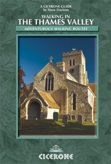
- Wandelgids Walking in the Thames Valley | Cicerone
- Walking in the Thames Valley describes 25 adventurous day walks in the area covering the North Hampshire Downs, Berkshire and the Southern Chilterns with easy access to London and Reading. The circular walks vary from 10 to 18 miles, including one two-day walk, as well as shorter route options for those who want a less strenuous day out. Read more
Netherlands
2017
- Also available from:
- Stanfords, United Kingdom

United Kingdom
2017
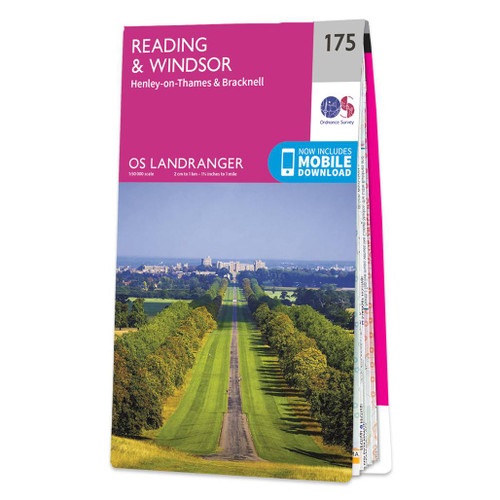
- Reading & Windsor - Henley-on-Thames & Bracknell OS Landranger Map 175 (paper)
- Reading – Windsor area, including a section of the Thames Path / E2 European Long-distance Path, on a paper version of map No. 175 from the Ordnance Survey’s Landranger series at 1:50,000, with contoured and GPS compatible topographic mapping plus tourist information.MOBILE DOWNLOADS: As well as the physical edition of the map, each Landranger... Read more
Netherlands
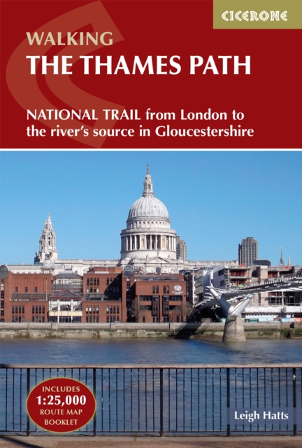
- Thames Path
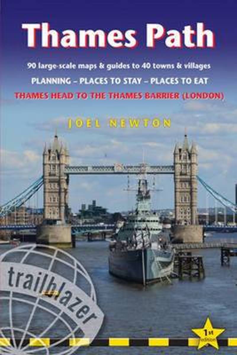
- THE THAMES PATH This book follows the Thames Path National Trail from the river's source in Gloucestershire to the Thames Barrier in London. Officially 184 miles (294km) in length (although the actual distance you walk will depend on a number of decisions you make en route), the path meanders, accompanied by its watery muse, through pristine... Read more
- Also available from:
- Bol.com, Belgium
Belgium
- Thames Path
- THE THAMES PATH This book follows the Thames Path National Trail from the river's source in Gloucestershire to the Thames Barrier in London. Officially 184 miles (294km) in length (although the actual distance you walk will depend on a number of decisions you make en route), the path meanders, accompanied by its watery muse, through pristine... Read more
Netherlands
- Trailblazer The Ridgeway
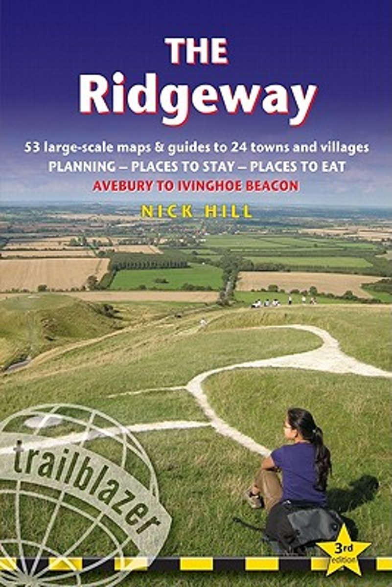
- Practical guide to walking the whole of the Ridgeway National Trail. The Ridgeway path begins near Avebury and runs 87 miles across the high chalk downs of Wiltshire, into the Thames Valley and on to the Chiltern Hills of Buckinghamshire, finishing at Ivinghoe Beacon near Aylesbury. Includes: Ridgeway map, 53 large-scale maps (1:20,000), guides... Read more
- Also available from:
- Bol.com, Belgium
Belgium
- Trailblazer The Ridgeway
- Practical guide to walking the whole of the Ridgeway National Trail. The Ridgeway path begins near Avebury and runs 87 miles across the high chalk downs of Wiltshire, into the Thames Valley and on to the Chiltern Hills of Buckinghamshire, finishing at Ivinghoe Beacon near Aylesbury. Includes: Ridgeway map, 53 large-scale maps (1:20,000), guides... Read more

- Also available from:
- Bol.com, Netherlands
- Bol.com, Belgium
- The Book Depository, United Kingdom
Netherlands
2016
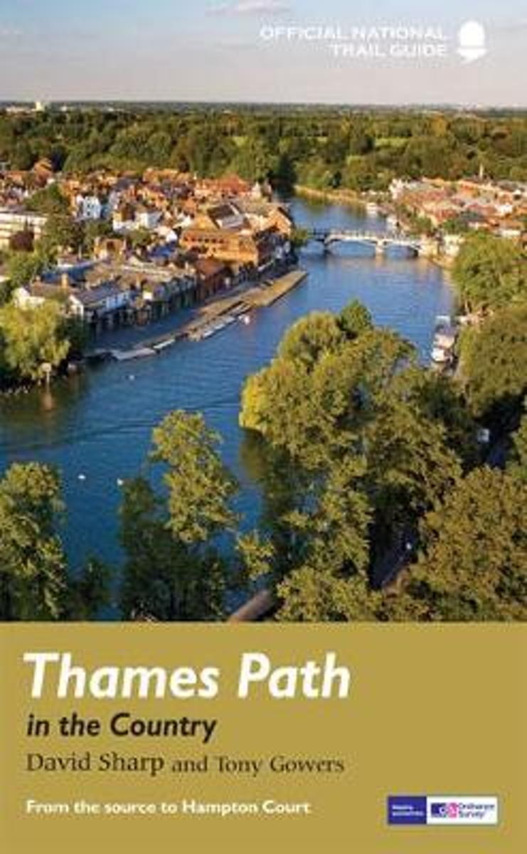
- Thames Path in the Country
- The official guide to the riverside path from its Gloucestershire source all the way to the outskirts of London. With the London Thames now covered by Aurum' s separate new guide, a companion volume can concentrate on the appeal of the full 150 miles of the country Thames, which winds all the way from its Gloucestershire source near Cirencester... Read more
Belgium
2016
- Thames Path in the Country
- The official guide to the riverside path from its Gloucestershire source all the way to the outskirts of London. With the London Thames now covered by Aurum' s separate new guide, a companion volume can concentrate on the appeal of the full 150 miles of the country Thames, which winds all the way from its Gloucestershire source near Cirencester... Read more

Netherlands
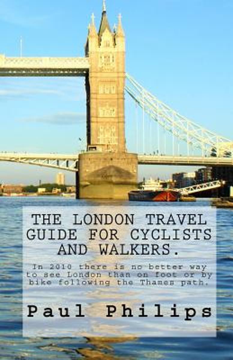
- The London Travel Guide for Cyclists and Walkers.
- This guide - edition 2010 - is for visitors who like to explore this famous City of London by bike or on foot beyond the traditional places of interest.It follows the mostly traffic free Thames Path from the Tower Bridge in London to royal Richmond upon Thames, the home of Mick Jagger. The Thames is the historic main artery of London with many... Read more
- Also available from:
- Bol.com, Belgium
Belgium
- The London Travel Guide for Cyclists and Walkers.
- This guide - edition 2010 - is for visitors who like to explore this famous City of London by bike or on foot beyond the traditional places of interest.It follows the mostly traffic free Thames Path from the Tower Bridge in London to royal Richmond upon Thames, the home of Mick Jagger. The Thames is the historic main artery of London with many... Read more
Netherlands
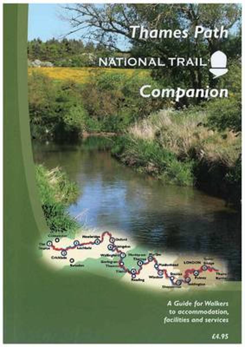
- The Thames Path National Trail Companion
- A Guide for Walkers to Accommodation, Facilities and Services Read more
- Also available from:
- Bol.com, Belgium
Belgium
- The Thames Path National Trail Companion
- A Guide for Walkers to Accommodation, Facilities and Services Read more
Netherlands
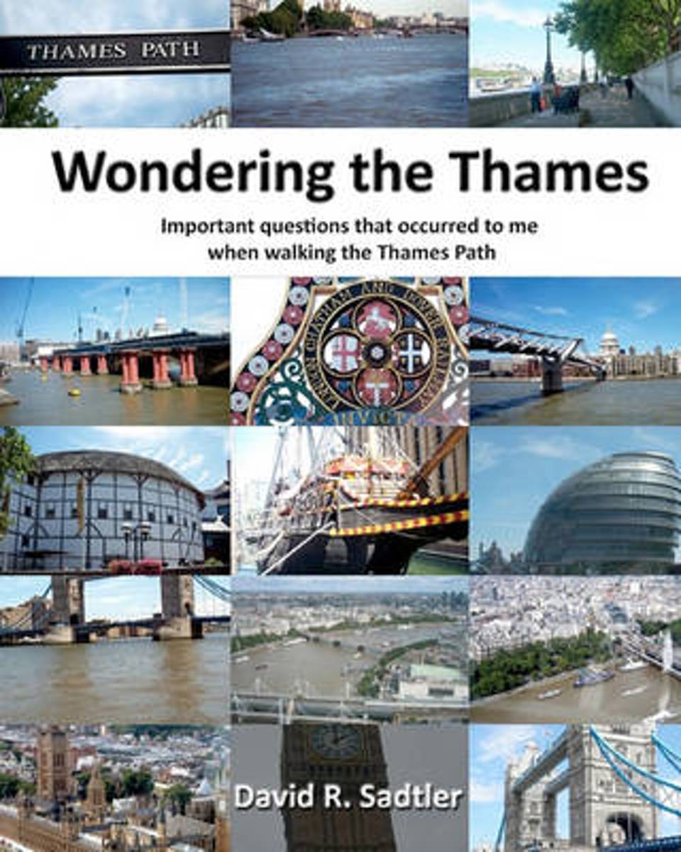
- Wondering the Thames
- The author walked the length of the Thames River in England from its source in rural Gloucestershire to the flood barrier in London. Along the way, solitude enhanced curiosity and big questions kept popping up. Where are all the annoying bugs? How could a clergyman afford a house this big? What is Coade stone? Does this river flood? Why were... Read more
- Also available from:
- Bol.com, Belgium
Belgium
- Wondering the Thames
- The author walked the length of the Thames River in England from its source in rural Gloucestershire to the flood barrier in London. Along the way, solitude enhanced curiosity and big questions kept popping up. Where are all the annoying bugs? How could a clergyman afford a house this big? What is Coade stone? Does this river flood? Why were... Read more
Netherlands
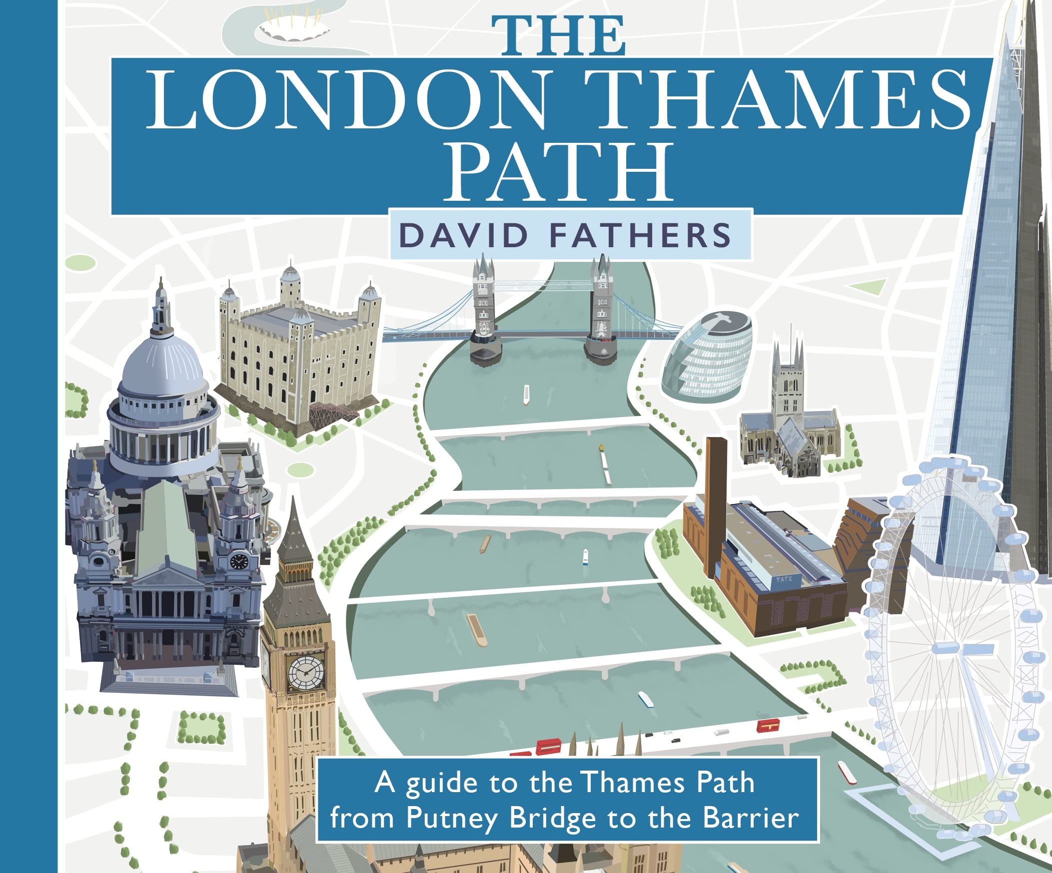
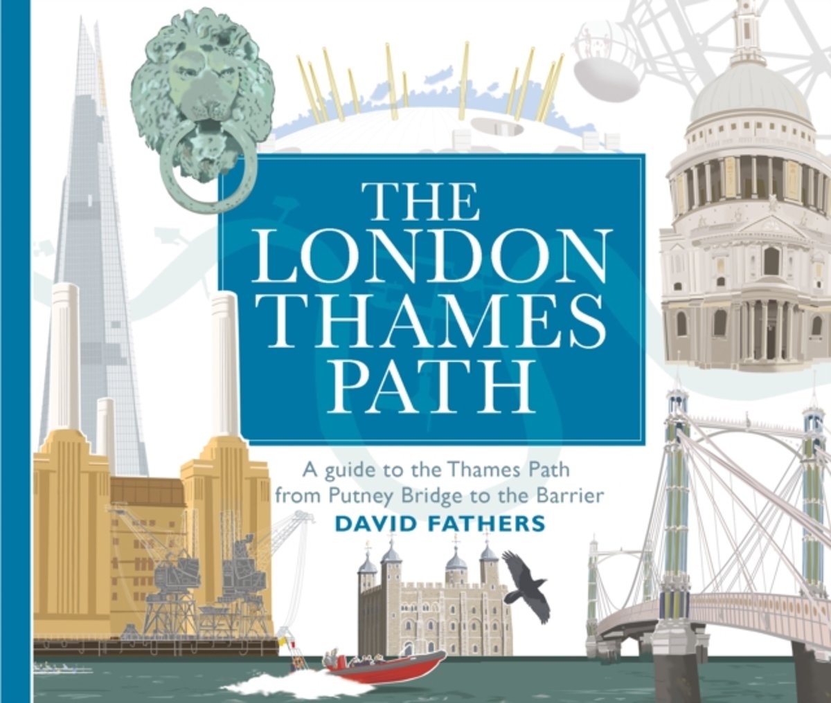
- London Thames Path
- David Fathers presents a unique and richly illustrated guide to the London section of the Thames Path, which runs along both banks of the river from Putney Bridge to the Thames Barrier. Together, the two paths make up a panoramic 40-mile walk through 2000 years of London's history.From the old docks and wharves that primed the Industrial... Read more
- Also available from:
- Bol.com, Belgium
- The Book Depository, United Kingdom
Belgium
- London Thames Path
- David Fathers presents a unique and richly illustrated guide to the London section of the Thames Path, which runs along both banks of the river from Putney Bridge to the Thames Barrier. Together, the two paths make up a panoramic 40-mile walk through 2000 years of London's history.From the old docks and wharves that primed the Industrial... Read more

Netherlands
2017
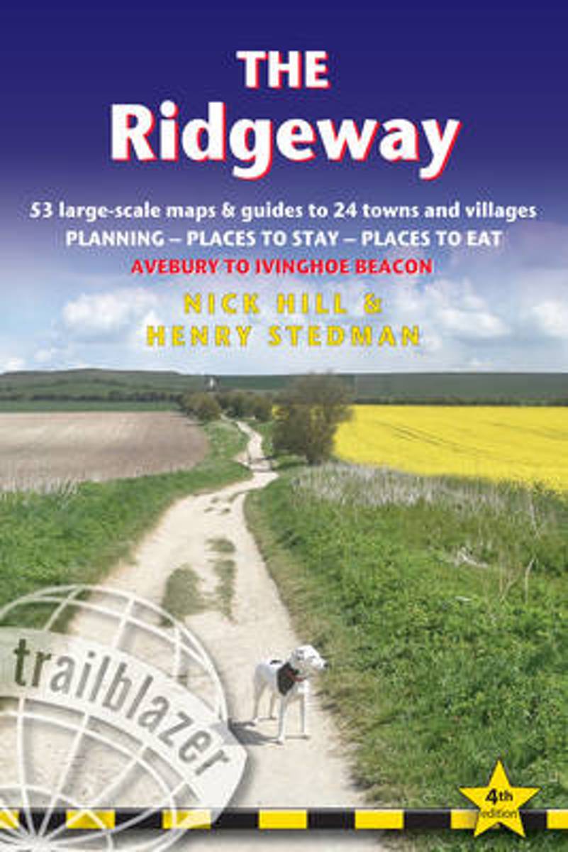
- The Ridgeway
- Practical guide to walking the Ridgeway National Trail that begins near Avebury & runs 87 miles across the downs of Wiltshire, the Thames Valley, the Chiltern Hills, finishing at Ivinghoe Beacon near Aylesbury. Includes: 53 large-scale maps (1:20,000), guides to 24 towns & villages; accommodation; places to eat; public transport information. Read more
- Also available from:
- Bol.com, Belgium
- Stanfords, United Kingdom
Belgium
2017
- The Ridgeway
- Practical guide to walking the Ridgeway National Trail that begins near Avebury & runs 87 miles across the downs of Wiltshire, the Thames Valley, the Chiltern Hills, finishing at Ivinghoe Beacon near Aylesbury. Includes: 53 large-scale maps (1:20,000), guides to 24 towns & villages; accommodation; places to eat; public transport information. Read more

United Kingdom
2017
- The Ridgeway: Avebury to Ivinghoe Beacon
- Practical guide to walking the whole of the Ridgeway National Trail. The Ridgeway path begins near Avebury and runs 87 miles across the high chalk downs of Wiltshire, into the Thames Valley and on to the Chiltern Hills of Buckinghamshire, finishing at Ivinghoe Beacon near Aylesbury. Includes: Ridgeway map, 53 large-scale maps (1:20,000), guides... Read more
Netherlands
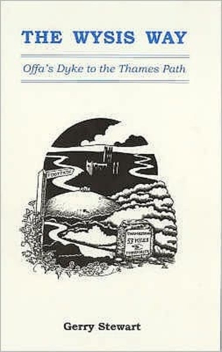
- The Wysis Way
- A walk of 55 miles through Gloucestershire between the rivers Wye, Severn & Thames, and linking two national trails, the Offa's Dyke Path & The Thames Path.From the Wye bridge at Monmouth the Wysis Way follows Offa's Dyke Path up to the Kymin before striking off eastwards through the Forest of Dean to the prominence of May Hill where the view... Read more
- Also available from:
- Bol.com, Belgium
Belgium
- The Wysis Way
- A walk of 55 miles through Gloucestershire between the rivers Wye, Severn & Thames, and linking two national trails, the Offa's Dyke Path & The Thames Path.From the Wye bridge at Monmouth the Wysis Way follows Offa's Dyke Path up to the Kymin before striking off eastwards through the Forest of Dean to the prominence of May Hill where the view... Read more
Kaarten
Netherlands
2017
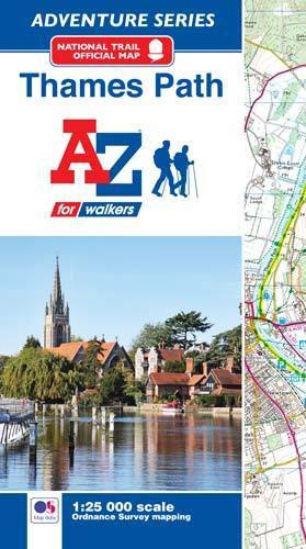
- Thames Path Adventure Atlas
- The A-Z Adventure series features the accuracy and quality of Ordnance Survey`s Explorer mapping in a convenient book, therefore eliminating the need to fold and re-fold a large sheet map to the desired area. OS Explorer is Ordnance Survey`s most detailed mapping at a scale of 1:25 000 showing public rights of way, open access land, national... Read more
- Also available from:
- Bol.com, Belgium
- Stanfords, United Kingdom
Belgium
2017
- Thames Path Adventure Atlas
- The A-Z Adventure series features the accuracy and quality of Ordnance Survey`s Explorer mapping in a convenient book, therefore eliminating the need to fold and re-fold a large sheet map to the desired area. OS Explorer is Ordnance Survey`s most detailed mapping at a scale of 1:25 000 showing public rights of way, open access land, national... Read more
United Kingdom
2017
- Thames Path A-Z Adventure Atlas
- The A-Z Adventure series features the accuracy and quality of Ordnance Survey`s Explorer mapping in a convenient book, therefore eliminating the need to fold and re-fold a large sheet map to the desired area. OS Explorer is Ordnance Survey`s most detailed mapping at a scale of 1:25 000 showing public rights of way, open access land, national... Read more

Netherlands
- England Coast Path Camber to Folkestone Adventure Map
- The A-Z Adventure Series of maps combines the best of OS and A-Z, creating the perfect companion for walkers, off-road cyclists, horse riders and anyone wishing to explore the great outdoors.This official Camber to Folkestone Adventure Map section of the England Coast Path, a new National Trail around England`s coast. More than just a path, it... Read more
- Also available from:
- Bol.com, Belgium
- Stanfords, United Kingdom
Belgium
- England Coast Path Camber to Folkestone Adventure Map
- The A-Z Adventure Series of maps combines the best of OS and A-Z, creating the perfect companion for walkers, off-road cyclists, horse riders and anyone wishing to explore the great outdoors.This official Camber to Folkestone Adventure Map section of the England Coast Path, a new National Trail around England`s coast. More than just a path, it... Read more

United Kingdom
- England Coast Path - Camber to Folkestone Adventure Map
- The A-Z Adventure Series of maps combines the best of OS and A-Z, creating the perfect companion for walkers, off-road cyclists, horse riders and anyone wishing to explore the great outdoors.This official Camber to Folkestone Adventure Map section of the England Coast Path, a new National Trail around England`s coast. More than just a path, it... Read more

Netherlands
- England Coast Path Folkestone to Ramsgate Adventure Map
- The A-Z Adventure Series of maps combines the best of OS and A-Z, creating the perfect companion for walkers, off-road cyclists, horse riders and anyone wishing to explore the great outdoors.This official Folkestone to Ramsgate Adventure Map section of the England Coast Path, a new National Trail around England`s coast. More than just a path,... Read more
- Also available from:
- Bol.com, Belgium
Belgium
- England Coast Path Folkestone to Ramsgate Adventure Map
- The A-Z Adventure Series of maps combines the best of OS and A-Z, creating the perfect companion for walkers, off-road cyclists, horse riders and anyone wishing to explore the great outdoors.This official Folkestone to Ramsgate Adventure Map section of the England Coast Path, a new National Trail around England`s coast. More than just a path,... Read more
Netherlands
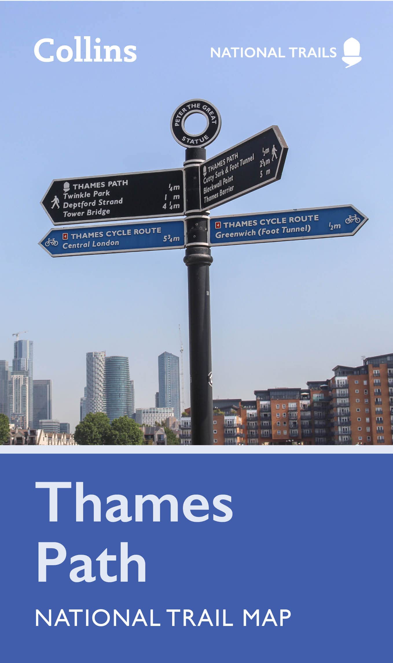
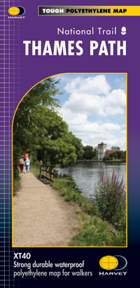
- Wandelkaart Thames Path | Harvey Maps
- Mooie, duidelijke kaart van het Thames Path in Engeland. Geplastificeerd met veel extra informatie en uitsnedes van de route. Thames Path National Trail The Thames Path follows the banks of the river for 184 miles (294KM) from the flood barrier at Woolwich in South East London to Kemble Gloucestershire. It is a long distance walking route, most... Read more
- Also available from:
- Bol.com, Netherlands
- Bol.com, Belgium
- The Book Depository, United Kingdom

Netherlands
- Thames Path
- Mooie, duidelijke kaart van het Thames Path in Engeland. Geplastificeerd met veel extra informatie en uitsnedes van de route. Thames Path National Trail The Thames Path follows the banks of the river for 184 miles (294KM) from the flood barrier at Woolwich in South East London to Kemble Gloucestershire. It is a long distance walking route, most... Read more
Belgium
- Thames Path
- Mooie, duidelijke kaart van het Thames Path in Engeland. Geplastificeerd met veel extra informatie en uitsnedes van de route. Thames Path National Trail The Thames Path follows the banks of the river for 184 miles (294KM) from the flood barrier at Woolwich in South East London to Kemble Gloucestershire. It is a long distance walking route, most... Read more

United Kingdom
- England Coast Path Adventure Map - Minehead to Brean Down
- The A-Z Adventure Series of maps combines the best of OS and A-Z, creating the perfect companion for walkers, off-road cyclists, horse riders and anyone wishing to explore the great outdoors.This official Minehead to Brean Down Adventure Map covers a 58 mile (93km) section of the England Coast Path, a new National Trail around England`s coast.... Read more