
West Highland Way
Beschrijving
- Name West Highland Way (WHW)
- Lengte van pad 153 km, 95 mijl
- Lengte in dagen 8 dagen
- Einde van pad Fort William
- Traildino graad EW, Makkelijke wandeling, natuurpad


95 miles, 153 km, 8 days
Long Distance Route in Scotland
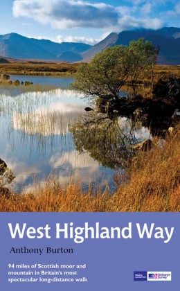
The West Highland Way is a convenient walk for the beginning hiker and a good launch point for the Scottish Highlands. This walk, 153 km, 95 miles, can be done in a short weeks time. You do not really venture out into the higher and wilder parts of Scotland, except for the crossing of a pass. You do get however a multifaceted view of Scotland. From the green forests of Loch Lomond near Glasgow, along an old military road, over the Devil's Staircase, you will eventually view of the highest mountain in the United Kingdom, Ben Nevis.
In Fort William, the end of the West Highland Way, starts another popular hike, namely the Great Glen Way, along Loch Ness. Or – better option? – go for a climb to the summit of one of the many Munros (a mountain of more than 3000 feet) and enjoy wild green Scotland from above. Assuming you choose a fine day, you will not regret this.
Kaart

Links
Feiten
Verslagen
Gidsen en kaarten
Overnachting
Organisaties
Reisorganisaties
GPS
Anders
Boeken
Netherlands
2016
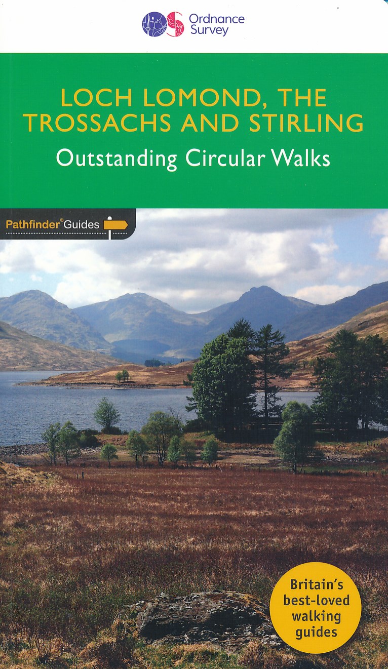
- Wandelgids 23 Pathfinder Guides Loch Lomond , The Trossachs and Stirling | Ordnance Survey
- The walks in this guide introduce the many facets of the Southern Highlands and range from easy loch-side strolls to strenuous expeditions onto some of the area`s highest mountains. Walking in Scotland is quite different from walking south of the border. In England there are only eight summits that top 3000 ft, while in Scotland there are 277,... Read more
- Also available from:
- Stanfords, United Kingdom

United Kingdom
2016
- Loch Lomond, The Trossachs: 2016
- The walks in this guide introduce the many facets of the Southern Highlands and range from easy loch-side strolls to strenuous expeditions onto some of the area`s highest mountains. Walking in Scotland is quite different from walking south of the border. In England there are only eight summits that top 3000 ft, while in Scotland there are 277,... Read more
Netherlands
2021
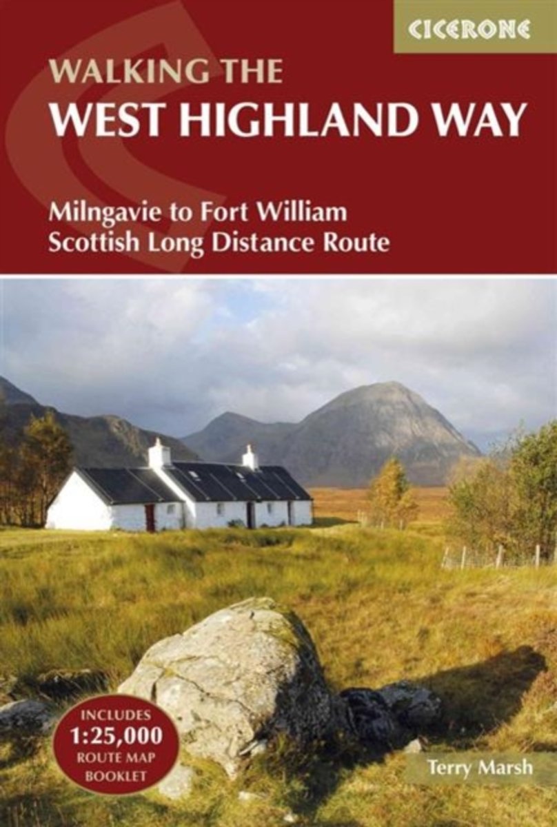
- Wandelgids West Highland Way | Cicerone
- Guidebook to walking the West Highland Way National Trail, a 95-mile Scottish long-distance route from Milngavie near Glasgow to Fort William, passing Loch Lomond and crossing Rannoch Moor. Suggested itineraries over 6 to 9 days. Includes accommodation guide and pull-out 1:25K OS map booklet. Read more
- Also available from:
- Bol.com, Netherlands
- Bol.com, Belgium
- The Book Depository, United Kingdom
Netherlands
2016
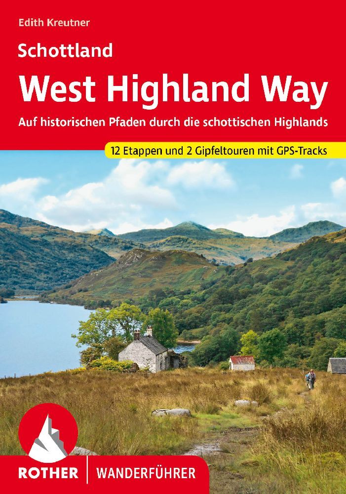
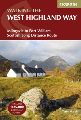
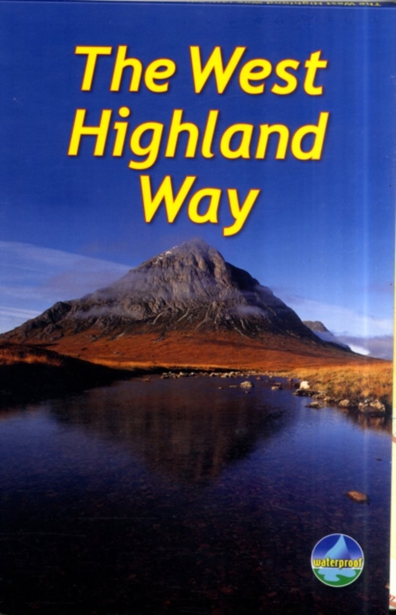
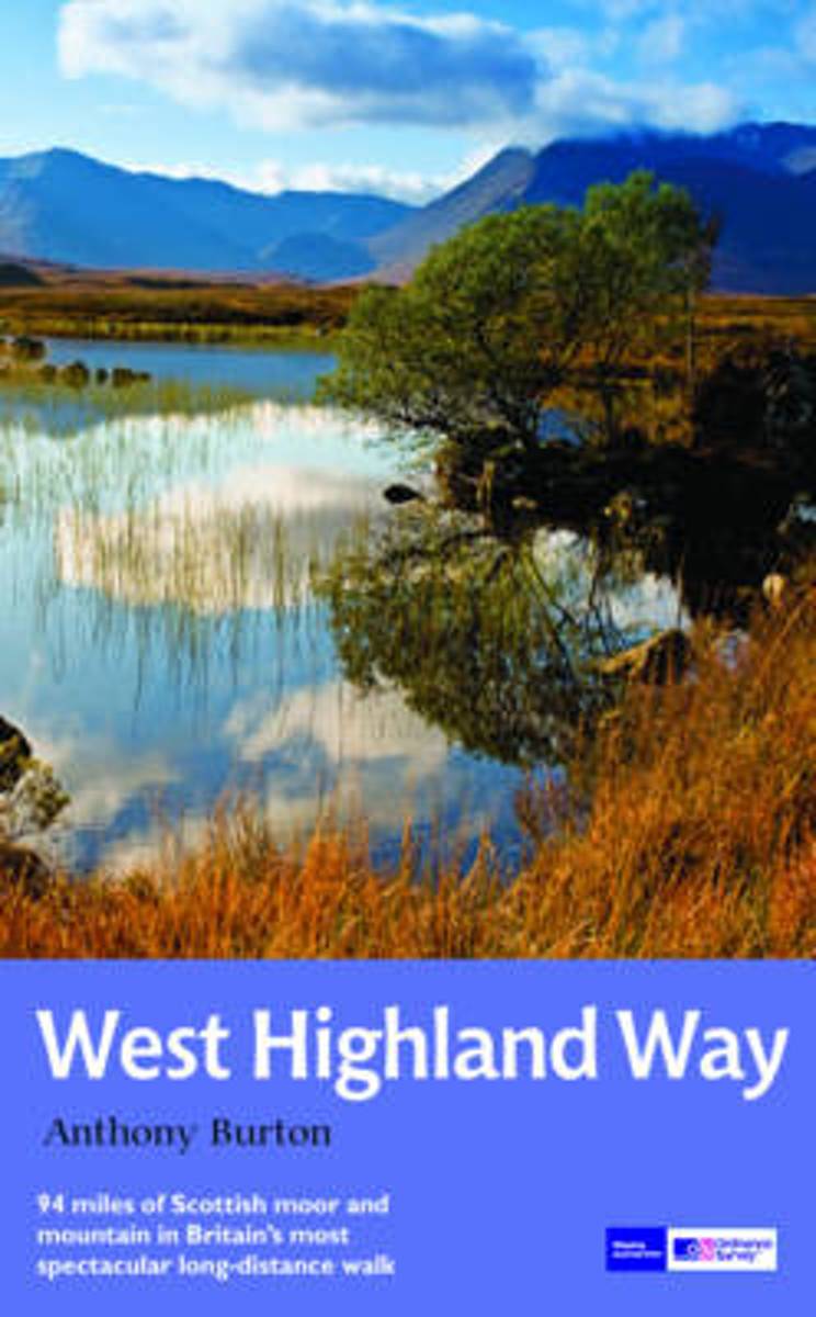
- The West Highland Way
- A guidebook to Scotland's West Highland Way, a 95-mile walk from Milngavie near Glasgow to Fort William, passing Loch Lomond, crossing Rannoch Moor and finishing in the shadow of Britain's highest mountain. The walk, which takes roughly one week to complete, is described in seven stages, with each stage ranging from 8 to 20 miles. The guide... Read more
Belgium
2016
- The West Highland Way
- A guidebook to Scotland's West Highland Way, a 95-mile walk from Milngavie near Glasgow to Fort William, passing Loch Lomond, crossing Rannoch Moor and finishing in the shadow of Britain's highest mountain. The walk, which takes roughly one week to complete, is described in seven stages, with each stage ranging from 8 to 20 miles. The guide... Read more

United Kingdom
2016
- The West Highland Way
- Milngavie to Fort William Scottish Long Distance Route Read more

Netherlands
- Walking Distance
- Long-distance walking is good for you and good for the earth... But most of all, walking is a joyful celebration of life and the diverse, beautiful, and curious world in which we live. -from the Introduction Walking is simple, but it can also be profound. In an increasingly complex and frantic world, walking can simplify our lives. It... Read more
- Also available from:
- Bol.com, Belgium
Belgium
- Walking Distance
- Long-distance walking is good for you and good for the earth... But most of all, walking is a joyful celebration of life and the diverse, beautiful, and curious world in which we live. -from the Introduction Walking is simple, but it can also be profound. In an increasingly complex and frantic world, walking can simplify our lives. It... Read more
Netherlands
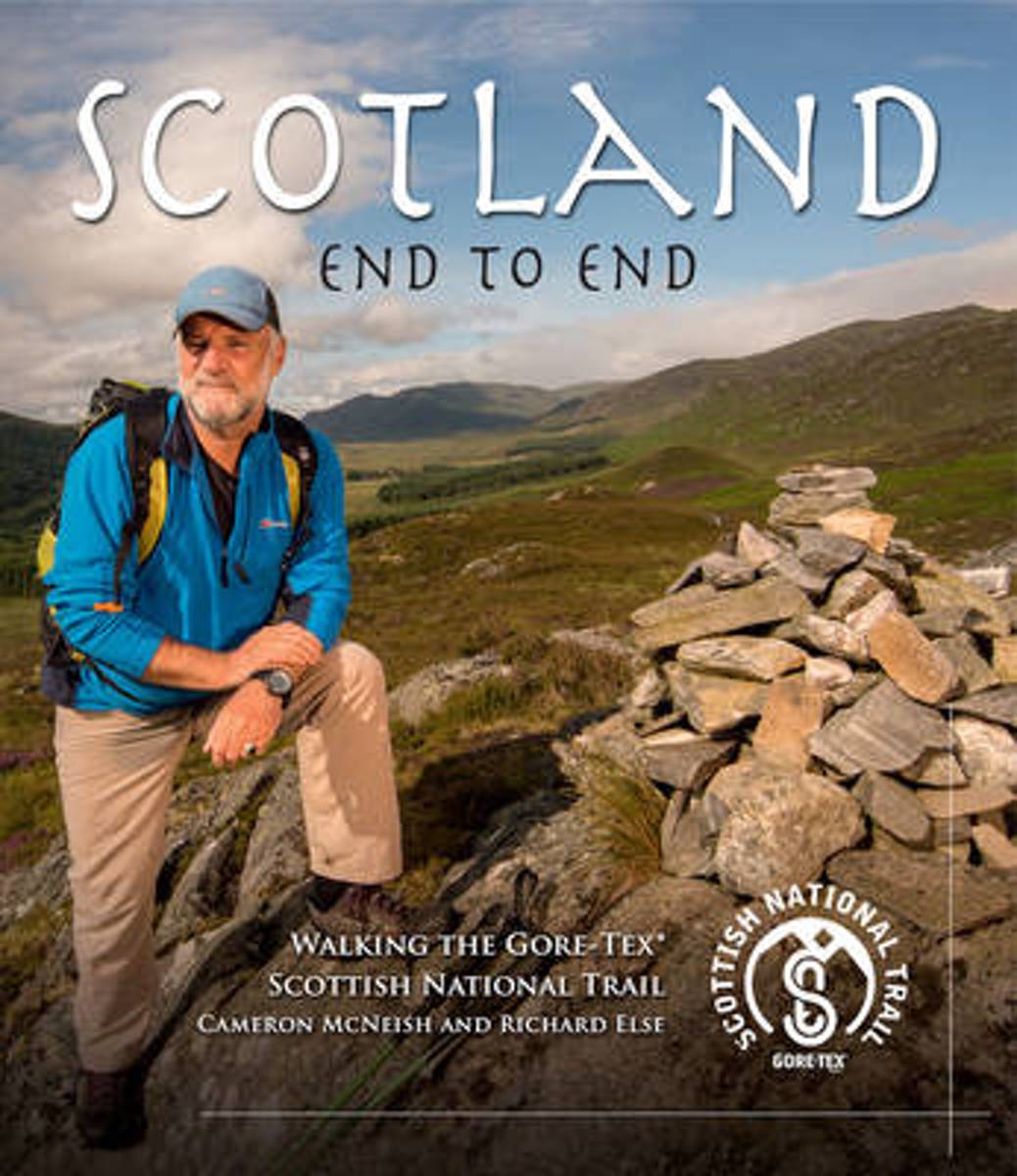
- Scotland End to End
- By walking all the way through Scotland from Kirk Yetholm in the Borders to Cape Wrath in the far North-West, author and broadcaster Cameron McNeish witnesses at first hand the changes that have taken place in the landscapes of the country of his birth. From the rolling, history drenched hills of the Borders he experiences the... Read more
- Also available from:
- Bol.com, Belgium
- Stanfords, United Kingdom
Belgium
- Scotland End to End
- By walking all the way through Scotland from Kirk Yetholm in the Borders to Cape Wrath in the far North-West, author and broadcaster Cameron McNeish witnesses at first hand the changes that have taken place in the landscapes of the country of his birth. From the rolling, history drenched hills of the Borders he experiences the... Read more

United Kingdom
- Scotland End to End
- By walking all the way through Scotland from Kirk Yetholm in the Borders to Cape Wrath in the far North-West, author and broadcaster Cameron McNeish witnesses at first hand the changes that have taken place in the landscapes of the country of his birth. From the rolling, history drenched hills of the Borders he experiences the... Read more
Netherlands
2011
- The West Highland Way
- The West Highland Way is Scotland's most popular long-distance walk, running 96 miles (155 km) from Glasgow, Scotland's largest city, through its first National Park, across the western Highlands to the foot of its highest mountain, Ben Nevis. This is the fourth, fully revised edition of the popular rucksack-friendly guidebook and includes the... Read more
- Also available from:
- Bol.com, Belgium
Belgium
2011
- The West Highland Way
- The West Highland Way is Scotland's most popular long-distance walk, running 96 miles (155 km) from Glasgow, Scotland's largest city, through its first National Park, across the western Highlands to the foot of its highest mountain, Ben Nevis. This is the fourth, fully revised edition of the popular rucksack-friendly guidebook and includes the... Read more
Netherlands
2016
- West Highland Way Map Booklet
- All the mapping you need to complete the 95 mile (153km) West Highland Way, an official Scottish Long Distance Route from Milngavie near Glasgow to Fort William. Showcasing the wild beauty of western Scotland, the trail is a journey from the lowlands to the highlands, passing Loch Lomond then crossing Rannoch Moor before finishing in the shadow... Read more
- Also available from:
- Bol.com, Belgium
- Stanfords, United Kingdom
Belgium
2016
- West Highland Way Map Booklet
- All the mapping you need to complete the 95 mile (153km) West Highland Way, an official Scottish Long Distance Route from Milngavie near Glasgow to Fort William. Showcasing the wild beauty of western Scotland, the trail is a journey from the lowlands to the highlands, passing Loch Lomond then crossing Rannoch Moor before finishing in the shadow... Read more

United Kingdom
2016
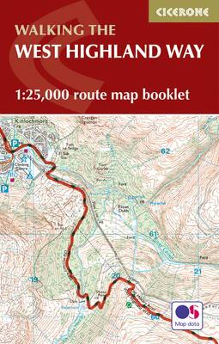
- West Highland Way Cicerone Map Booklet
- Map coverage of the West Highland Way, 152km (95 miles) from Milngavie on theoutskirts of Glasgow to Fort William. The trail typically takes 8 days to walk in its entirety. This compact booklet of Ordnance Survey 1:25,000 maps shows the full route, providing all of the mapping you need to complete the trail, and eliminating the need to fold and... Read more

Netherlands
- Gone to the Dogs- In Search of the Best Ballpark Hotdog
- Gone to the Dogs Tom Lohr was on a quest: to find the best combination of baseball and hot dogs that North America's major league ballparks have to offer. His 103-day odyssey to find the perfect processed meat led him to rate all 30 major league dogs and their ballparks, as well as 35 minor league offerings. With help from the National Hot Dog... Read more
- Also available from:
- Bol.com, Belgium
Belgium
- Gone to the Dogs- In Search of the Best Ballpark Hotdog
- Gone to the Dogs Tom Lohr was on a quest: to find the best combination of baseball and hot dogs that North America's major league ballparks have to offer. His 103-day odyssey to find the perfect processed meat led him to rate all 30 major league dogs and their ballparks, as well as 35 minor league offerings. With help from the National Hot Dog... Read more
Netherlands
2016
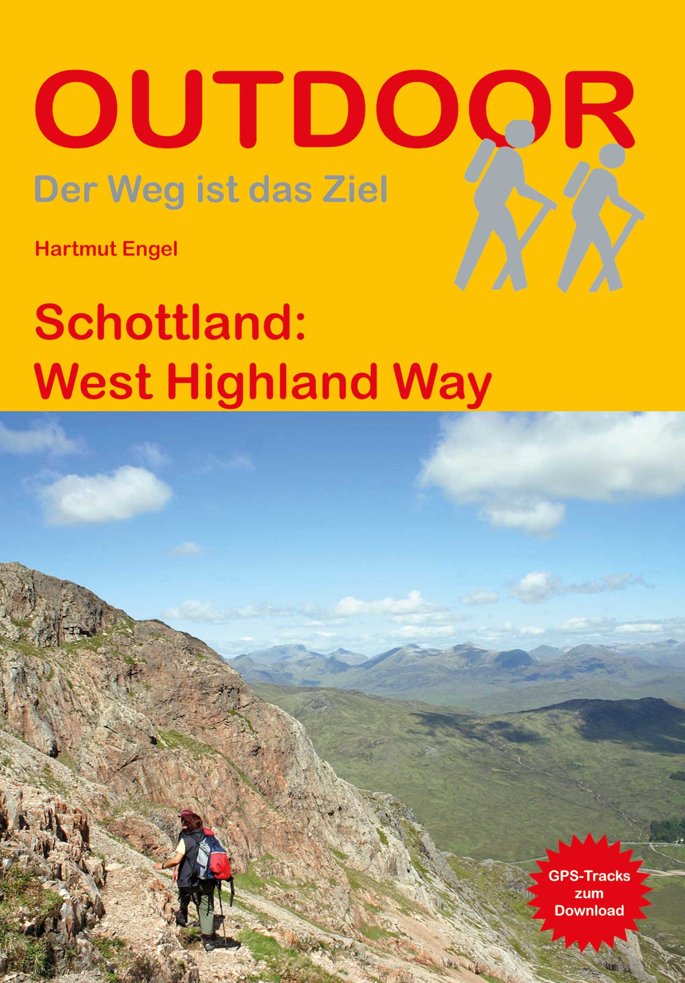
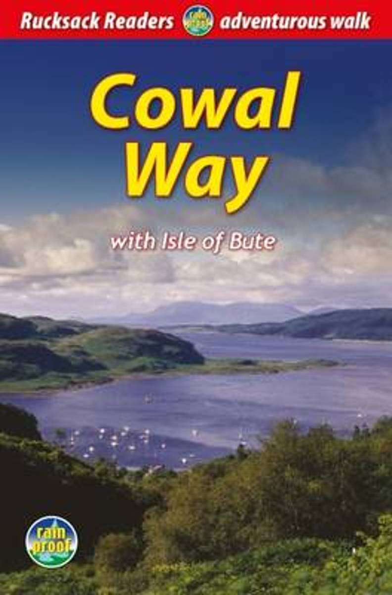
- Cowal Way
- The Cowal Way is a waymarked trail running for 57 miles (92 km) across the rugged Cowal peninsula, an unspoiled area of the Highlands just west of Glasgow. It is best walked from Portavadie on Loch Fyne to finish at Inveruglas on Loch Lomond. The Way has some rugged scenery, the walk is easily broken into manageable sections, and it offers... Read more
- Also available from:
- Bol.com, Belgium
Belgium
2016
- Cowal Way
- The Cowal Way is a waymarked trail running for 57 miles (92 km) across the rugged Cowal peninsula, an unspoiled area of the Highlands just west of Glasgow. It is best walked from Portavadie on Loch Fyne to finish at Inveruglas on Loch Lomond. The Way has some rugged scenery, the walk is easily broken into manageable sections, and it offers... Read more
Netherlands
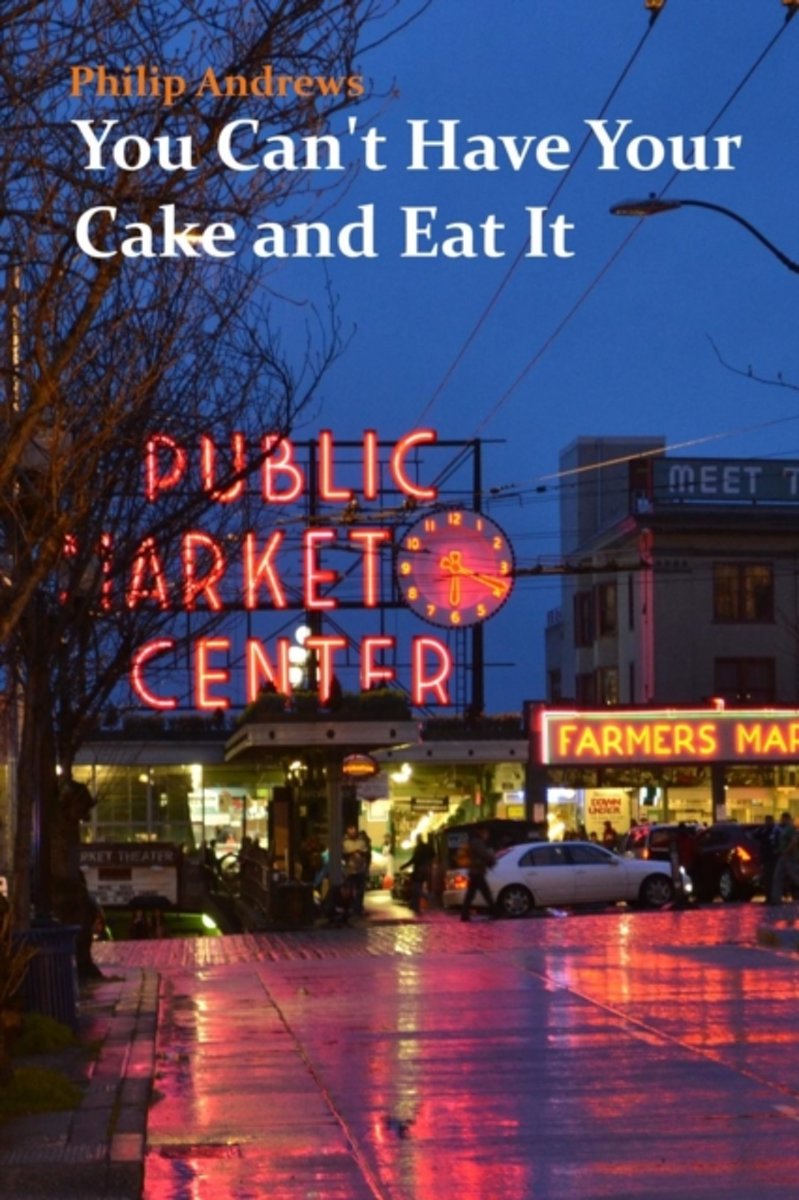
- You Can't Have Your Cake and Eat It
- It started when a single red rose sent to the wrong person led to the right person. However, this is no ordinary romantic tale but a story of self-discovery, friendship and travel set to the backdrop of four continents. A chance encounter upon the volcanic and snowy slopes of Mount Kilimanjaro and a drunken text message sets off a chain... Read more
- Also available from:
- Bol.com, Belgium
Belgium
- You Can't Have Your Cake and Eat It
- It started when a single red rose sent to the wrong person led to the right person. However, this is no ordinary romantic tale but a story of self-discovery, friendship and travel set to the backdrop of four continents. A chance encounter upon the volcanic and snowy slopes of Mount Kilimanjaro and a drunken text message sets off a chain... Read more
Netherlands
2012
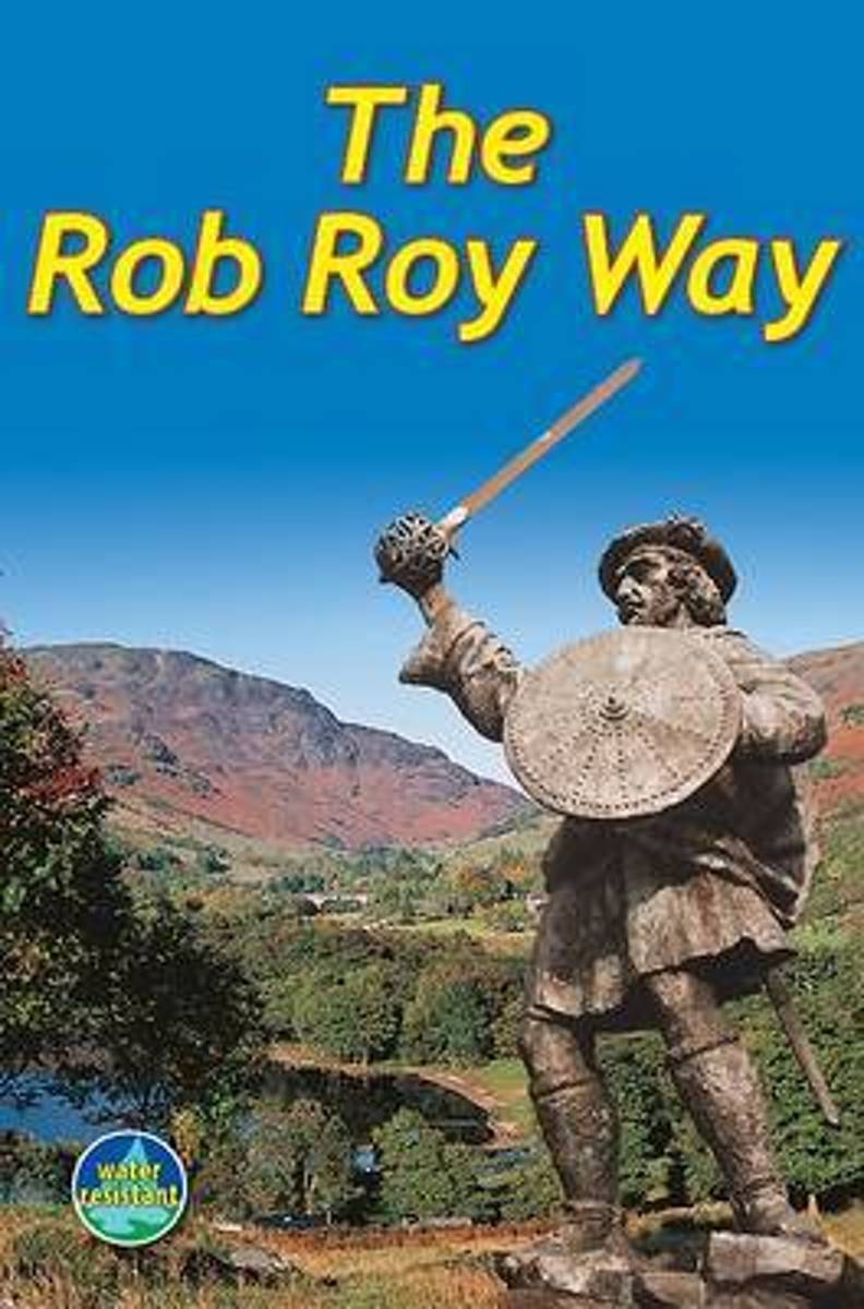
- Rob Roy Way
- This long-distance walk from Drymen to Pitlochry was co-developed by Rucksack Readers in 2001 and is now widely recognised as a great trail. It runs for 77 miles (124 km) along some of Scotland's finest lochs and glens, using historic footpaths, a cycleway, disused railway trackbed, forest and moorland tracks and some minor road. Many places... Read more
- Also available from:
- Bol.com, Belgium
Belgium
2012
- Rob Roy Way
- This long-distance walk from Drymen to Pitlochry was co-developed by Rucksack Readers in 2001 and is now widely recognised as a great trail. It runs for 77 miles (124 km) along some of Scotland's finest lochs and glens, using historic footpaths, a cycleway, disused railway trackbed, forest and moorland tracks and some minor road. Many places... Read more
- Also available from:
- Bol.com, Netherlands
- Bol.com, Belgium
- The Book Depository, United Kingdom
Netherlands
2016
- The West Highland Way
- The 93-mile West Highland Way is indisputably Britain's most spectacular long-distance path. The first section, following the eastern shore of Loch Lomond, offers an idyllic waterside walk, with the full grandeur of the Highlands gradually revealing itself. Then, after crossing the barren wilderness of the Rannoch Moor, the walker climbs the... Read more
Belgium
2016
- The West Highland Way
- The 93-mile West Highland Way is indisputably Britain's most spectacular long-distance path. The first section, following the eastern shore of Loch Lomond, offers an idyllic waterside walk, with the full grandeur of the Highlands gradually revealing itself. Then, after crossing the barren wilderness of the Rannoch Moor, the walker climbs the... Read more

Netherlands
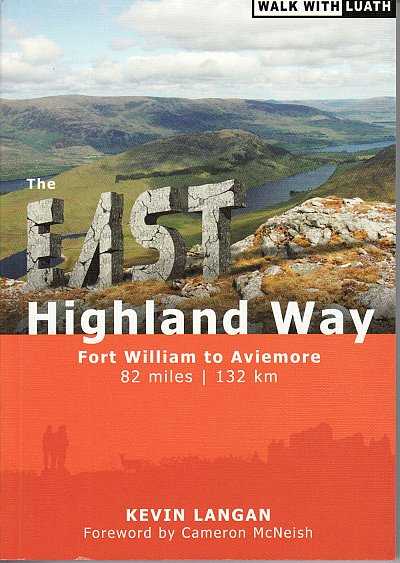
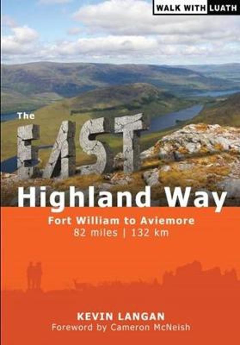
- Wandelgids The East Highland Way | Luath Press
- The East Highland Way is a detailed and descriptive guide to the route developed by Kevin Langan in 2007. Beginning in Fort William and culminating in Aviemore, the trail forms a new link route between the northern end of the West Highland Way and the southern end of the Speyside Way. In addition, the route joins with the Great Glen Way at its... Read more
- Also available from:
- Bol.com, Netherlands
- Bol.com, Belgium
Netherlands
- The East Highland Way
- The East Highland Way is a detailed and descriptive guide to the route developed by Kevin Langan in 2007. Beginning in Fort William and culminating in Aviemore, the trail forms a new link route between the northern end of the West Highland Way and the southern end of the Speyside Way. In addition, the route joins with the Great Glen Way at its... Read more
Belgium
- The East Highland Way
- The East Highland Way is a detailed and descriptive guide to the route developed by Kevin Langan in 2007. Beginning in Fort William and culminating in Aviemore, the trail forms a new link route between the northern end of the West Highland Way and the southern end of the Speyside Way. In addition, the route joins with the Great Glen Way at its... Read more
Netherlands
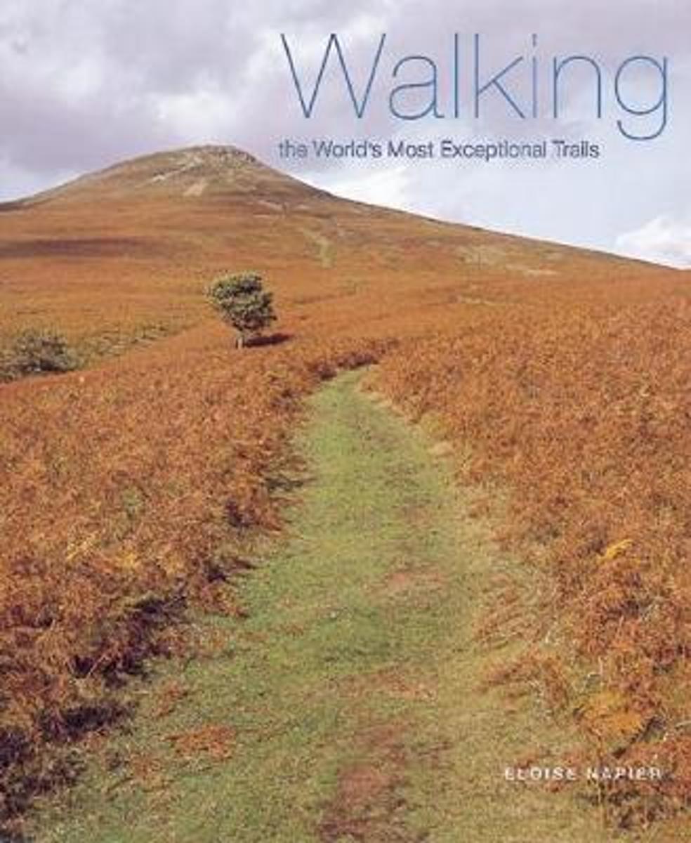
- Walking The World's Most Exceptional Trails
- The ultimate guide to the world's top walking vacations, selected for their unusual location, spectacular scenery, and awesome wildlife.From the Atlas Mountains in Morocco to the West Highland Way in Scotland and Yellowstone National Park in Wyoming and Montana, there are diverse walks presented here for hikers of all ages and abilities.... Read more
- Also available from:
- Bol.com, Belgium
Belgium
- Walking The World's Most Exceptional Trails
- The ultimate guide to the world's top walking vacations, selected for their unusual location, spectacular scenery, and awesome wildlife.From the Atlas Mountains in Morocco to the West Highland Way in Scotland and Yellowstone National Park in Wyoming and Montana, there are diverse walks presented here for hikers of all ages and abilities.... Read more
Kaarten

Netherlands
2022
- Wandelkaart Cape Wrath Trail North | Harvey Maps
- The northern section of the Cape Wrath Trail, from Strathcarron via Ullapool to Cape Wrath - the most north-westerly point in the mainland United Kingdom, presented at 1:40,000 on a light, waterproof and tear-resistant map from Harvey Map Services. The map covers this section of the trail on 12 overlapping panels. The whole Cape Wrath Trail is... Read more
- Also available from:
- Bol.com, Netherlands
- Bol.com, Belgium
- Stanfords, United Kingdom
- The Book Depository, United Kingdom

Netherlands
2014
- Cape Wrath Trail North XT40
- The northern section of the Cape Wrath Trail, from Strathcarron via Ullapool to Cape Wrath - the most north-westerly point in the mainland United Kingdom, presented at 1:40,000 on a light, waterproof and tear-resistant map from Harvey Map Services. The map covers this section of the trail on 12 overlapping panels. The whole Cape Wrath Trail is... Read more
Belgium
2014
- Cape Wrath Trail North XT40
- The northern section of the Cape Wrath Trail, from Strathcarron via Ullapool to Cape Wrath - the most north-westerly point in the mainland United Kingdom, presented at 1:40,000 on a light, waterproof and tear-resistant map from Harvey Map Services. The map covers this section of the trail on 12 overlapping panels. The whole Cape Wrath Trail is... Read more

United Kingdom
2014
- Cape Wrath Trail North - Strathcarron to Cape Wrath Harvey National Trail XT40
- The northern section of the Cape Wrath Trail, from Strathcarron via Ullapool to Cape Wrath - the most north-westerly point in the mainland United Kingdom, presented at 1:40,000 on a light, waterproof and tear-resistant map from Harvey Map Services. The map covers this section of the trail on 12 overlapping panels. The whole Cape Wrath Trail is... Read more


Netherlands
2014
- Wandelkaart Cape Wrath Trail South | Harvey Maps
- The southern section of the Cape Wrath Trail, from Fort William to Strathcarron presented at 1:40,000 on a light, waterproof and tear-resistant map from Harvey Map Services. The map covers this section of the trail on eight panels, showing both the western variant via Inverie and Shiel Bridge, and inland route along Loch Lochy and Invegarry.... Read more
- Also available from:
- Bol.com, Netherlands
- Bol.com, Belgium
- Stanfords, United Kingdom
- The Book Depository, United Kingdom

Netherlands
2014
- Cape Wrath Trail South XT40
- Cape Wrath Trail is a challenging route from Fort William to Cape Wrath. It is around 200 miles long and passes through some of Scotland's wildest and most spectacular scenery. The trail has evolved from use and is not an officially recognised National Trail. There is no single definitive route. There are various ways of tackling the traverse... Read more
Belgium
2014
- Cape Wrath Trail South XT40
- Cape Wrath Trail is a challenging route from Fort William to Cape Wrath. It is around 200 miles long and passes through some of Scotland's wildest and most spectacular scenery. The trail has evolved from use and is not an officially recognised National Trail. There is no single definitive route. There are various ways of tackling the traverse... Read more

United Kingdom
2014
- Cape Wrath Trail South - Fort William to Strathcarron Harvey National Trail XT40
- The southern section of the Cape Wrath Trail, from Fort William to Strathcarron presented at 1:40,000 on a light, waterproof and tear-resistant map from Harvey Map Services. The map covers this section of the trail on eight panels, showing both the western variant via Inverie and Shiel Bridge, and inland route along Loch Lochy and Invegarry.... Read more


Netherlands
2018
- Wandelkaart West Highland Way | Harvey Maps
- Wandelkaart van de West Highland Way met uitsnedes van de route. Leap forward in technical excellence. Tough, light and 100% wateproof. Compact and light - the map itself weighs just 60gms - a third of the weight of a laminated map, and much less bulky. And you can fold or refold it time and again, or stuff it in your back pocket and it... Read more
- Also available from:
- Bol.com, Netherlands
- Bol.com, Belgium
- Stanfords, United Kingdom

Netherlands
2018
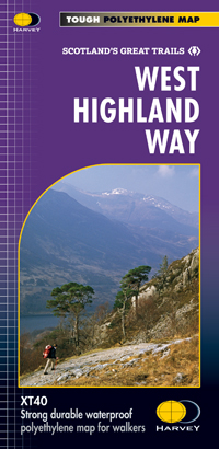
- West Highland Way XT40
- The West Highland Way is 96 miles (153 km) long and links Milngavie (Glasgow) to Fort William. It run's from Scotland's largest city to the foot of its highest mountain, Ben Nevis, through the Loch Lomond and Trossachs National Park.Detailed mapping, full legend in English, French and German. National Grid. Read more
Belgium
2018
- West Highland Way XT40
- The West Highland Way is 96 miles (153 km) long and links Milngavie (Glasgow) to Fort William. It run's from Scotland's largest city to the foot of its highest mountain, Ben Nevis, through the Loch Lomond and Trossachs National Park.Detailed mapping, full legend in English, French and German. National Grid. Read more
United Kingdom
2018
- West Highland Way Harvey National Trail XT40
- The West Highland Way, Scotland’s premier 153km / 96 miles long trail from Milngavie near Glasgow along Loch Lomond to Fort William presented at 1:40,000 on a light, waterproof and tear-resistant map from Harvey Map Services. The whole route is covered by nine overlapping panels, and the map includes small street plan of Milngavie, Tyndrum,... Read more

Netherlands
2018
- Wandelkaart East Highland Way | Harvey Maps
- East Highland Way, a 132km / 82 miles trail on a light, waterproof and tear-resistant map at 1:40,000 from Harvey Map Services presenting the route accompanied by extensive additional tourist information. The route links Fort Williams, the northern point of the West Highland Way and the southern point of the Great Glen Way, with Aviemore, the... Read more
- Also available from:
- Stanfords, United Kingdom
- The Book Depository, United Kingdom

United Kingdom
2018
- East Highland Way Harvey National Trail XT40
- East Highland Way, a 132km / 82 miles trail on a light, waterproof and tear-resistant map at 1:40,000 from Harvey Map Services presenting the route accompanied by extensive additional tourist information. The route links Fort Williams, the northern point of the West Highland Way and the southern point of the Great Glen Way, with Aviemore, the... Read more

United Kingdom
2018
- East Highland Way
- East Highland Way, a 132km / 82 miles trail on a light, waterproof and tear-resistant map at 1:40,000 from Harvey Map Services presenting the route accompanied by extensive additional tourist information. The route links Fort Williams, the northern point of the West Highland Way and the southern point of the Great Glen Way, with Aviemore, the... Read more

Netherlands
- Wandelkaart The West Highland Way | Footprint maps
- The West Highland Way waterproof map from Footprint is a map-guide to the 95 mile (153km) route between Milngavie and Fort William. The mapping is based on Ordnance Survey data at a scale of 1:40,000, with compact and concise information for walkers. Read more
- Also available from:
- Stanfords, United Kingdom
- The Book Depository, United Kingdom

United Kingdom
- The West Highland Way - 95 Mile Route Between Milngavie and Fort William
- The West Highland Way waterproof map from Footprint is a map-guide to the 95 mile (153km) route between Milngavie and Fort William. The mapping is based on Ordnance Survey data at a scale of 1:40,000, with compact and concise information for walkers. Read more

United Kingdom
- The West Highland Way (Footprint Map)
- A Footprint Map-Guide to the 95 Mile Route Between Milngavie and Fort William Read more

Netherlands
2020
- Wandelkaart West Highland Way | Vertebrate Publishing
- The 153-kilometre West Highland Way encompasses the variety of Scotland`s wild places. The route, which begins in Milngavie and finishes in Fort William, passes from Glasgow, Scotland`s friendliest city, through lochs and forests, and across wild moors in the shadows of Munros. Offering panoramic views and clear waymarking, it is no wonder this... Read more
- Also available from:
- Stanfords, United Kingdom
- The Book Depository, United Kingdom

United Kingdom
2020
- West Highland Way - Easy-to-use Folding Map and Essential Information
- The 153-kilometre West Highland Way encompasses the variety of Scotland`s wild places. The route, which begins in Milngavie and finishes in Fort William, passes from Glasgow, Scotland`s friendliest city, through lochs and forests, and across wild moors in the shadows of Munros. Offering panoramic views and clear waymarking, it is no wonder this... Read more

United Kingdom
2020
- West Highland Way
- Easy-to-use folding map and essential information, with custom itinerary planning for walkers, trekkers, fastpackers and trail runners Read more

Netherlands
- Wandelkaart Great Glen Way | Harvey Maps
- Great Glen Way, a 126km/79 miles trail from Fort William along Loch Ness to Inverness, presented at 1:40,000 on a light, waterproof and tear-resistant map from Harvey Map Services. The whole route is covered on four overlapping panels, and includes street plans of Fort William (showing the start/end of the West Highland Way) and Inverness. Map... Read more
- Also available from:
- Stanfords, United Kingdom
- The Book Depository, United Kingdom

United Kingdom
- Great Glen Way Harvey National Trail XT40
- Great Glen Way, a 126km/79 miles trail from Fort William along Loch Ness to Inverness, presented at 1:40,000 on a light, waterproof and tear-resistant map from Harvey Map Services. The whole route is covered on four overlapping panels, and includes street plans of Fort William (showing the start/end of the West Highland Way) and Inverness. Map... Read more

United Kingdom
- Great Glen Way
- Great Glen Way, a 126km/79 miles trail from Fort William along Loch Ness to Inverness, presented at 1:40,000 on a light, waterproof and tear-resistant map from Harvey Map Services. The whole route is covered on four overlapping panels, and includes street plans of Fort William (showing the start/end of the West Highland Way) and Inverness. Map... Read more