
British Columbia
Beschrijving
Kaart

Paden in deze landsdeel
Links
Feiten
Verslagen
Gidsen en kaarten
Overnachting
Organisaties
Reisorganisaties
GPS
Anders
Boeken
De Zwerver
Netherlands
Netherlands
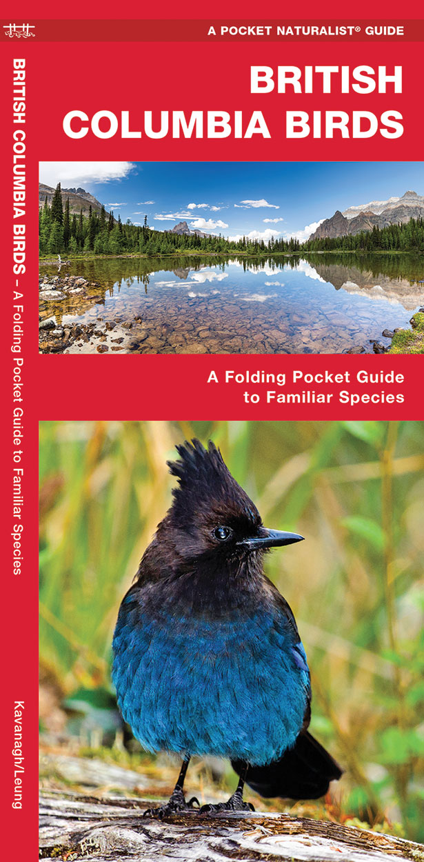
- Vogelgids - Natuurgids British Columbia Birds | Waterford Press
- British Columbia Birds, An Introduction to Familiar Species, is a must-have, reference guide for beginners and experts alike. This guide covers birding hotspots and sanctuaries. Whether you're on a nature hike or in your own backyard, you'll want to take along a copy of this indispensable guide. The Pocket Naturalist series is an introduction... Read more
De Zwerver
Netherlands
2016
Netherlands
2016
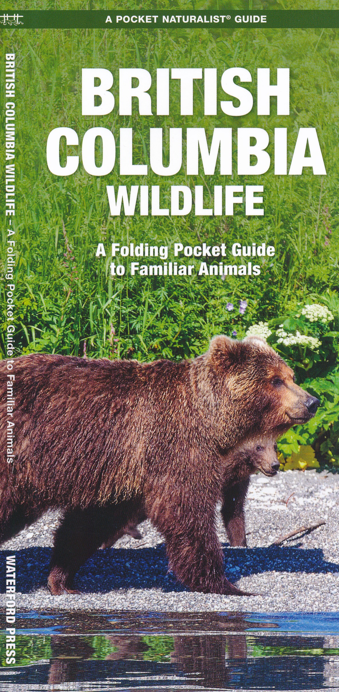
- Natuurgids British Columbia Wildlife | Waterford Press
- British Columbia Wildlife, An Introduction to Familiar Species, is a must-have reference guide for beginners and experts alike. Whether you're on a nature hike or taking a stroll in your neighborhood, you'll want to take along a copy of this indispensable guide. The Pocket Naturalist series is an introduction to common plants and animals and... Read more
De Zwerver
Netherlands
2022
Netherlands
2022
De Zwerver
Netherlands
2023
Netherlands
2023
De Zwerver
Netherlands
Netherlands
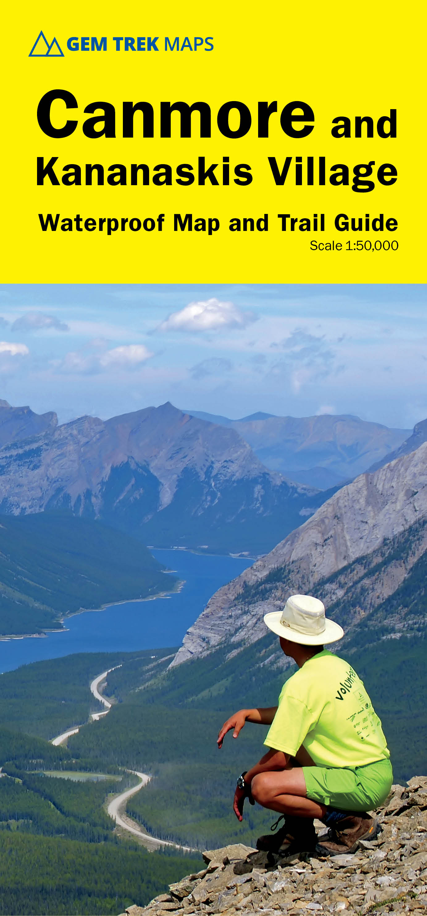
- Wandelkaart 06 Canmore & Kananaskis Village | Gem Trek Maps
- Canmore and Kananaskis Village area of the Canadian Rockies on a contoured and GPS compatible, waterproof and tear-resistant map at 1:50,000 from Gem Trek with an enlargement of the Kananaskis Village, descriptions of recommended trails and other tourist information.The map covers some of the most popular terrain for hikers and mountain bikers... Read more
- Also available from:
- Stanfords, United Kingdom

Stanfords
United Kingdom
United Kingdom
- Canmore and Kananaskis Village Gem Trek
- Canmore and Kananaskis Village area of the Canadian Rockies on a contoured and GPS compatible, waterproof and tear-resistant map at 1:50,000 from Gem Trek with an enlargement of the Kananaskis Village, descriptions of recommended trails and other tourist information.The map covers some of the most popular terrain for hikers and mountain bikers... Read more
Bol.com
Netherlands
Netherlands
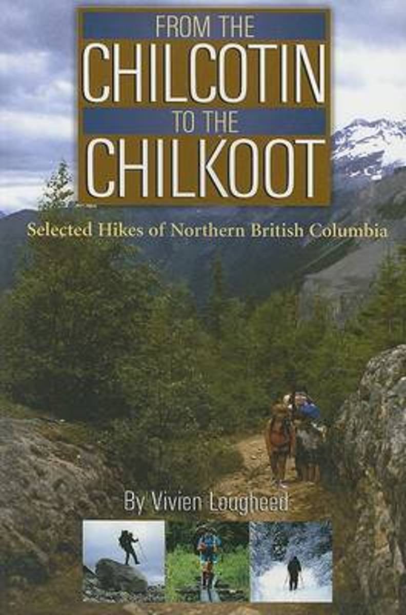
- From the Chilcotin to the Chilkoot
- Insatiable traveller Vivien Lougheed has hiked many of the world's most renowned peaks, including the Andes and the Himalayas, and published several books detailing her adventures. Now, withFrom the Chilcotin to the Chilkoot: Selected Hikes of Northern British Columbia, she turns her attention to the northern woods and the place she calls home.... Read more
- Also available from:
- Bol.com, Belgium
Bol.com
Belgium
Belgium
- From the Chilcotin to the Chilkoot
- Insatiable traveller Vivien Lougheed has hiked many of the world's most renowned peaks, including the Andes and the Himalayas, and published several books detailing her adventures. Now, withFrom the Chilcotin to the Chilkoot: Selected Hikes of Northern British Columbia, she turns her attention to the northern woods and the place she calls home.... Read more
Bol.com
Netherlands
Netherlands
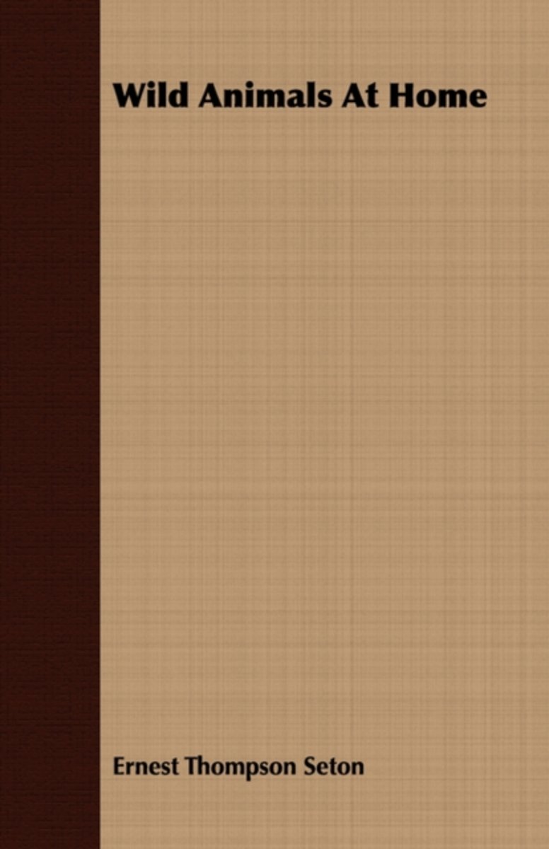
- Wild Animals At Home
- My travels in search of light on the Animals at Home have taken me up and down the Rocky Mountains for nearly thirty years. In the canyons from British Columbia to Mexico, I have lighted my campfire, far beyond the bounds of law and order, at times, and yet I have found na place more rewarding than the Yellowstone Park, the great mountain haven... Read more
- Also available from:
- Bol.com, Belgium
Bol.com
Belgium
Belgium
- Wild Animals At Home
- My travels in search of light on the Animals at Home have taken me up and down the Rocky Mountains for nearly thirty years. In the canyons from British Columbia to Mexico, I have lighted my campfire, far beyond the bounds of law and order, at times, and yet I have found na place more rewarding than the Yellowstone Park, the great mountain haven... Read more
Bol.com
Netherlands
Netherlands
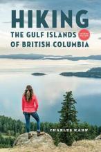
- Hiking the Gulf Islands of British Columbia
- Nestled in the Strait of Georgia between British Columbias mainland and Vancouver Island, the Gulf Islands are a hikers paradise, each boasting an eclectic character and an array of flora and fauna unique to the temperate climate of the southern West Coast of Canada. Discover the panoramic views, inviting beaches and friendly hospitality of... Read more
- Also available from:
- Bol.com, Belgium
Bol.com
Belgium
Belgium
- Hiking the Gulf Islands of British Columbia
- Nestled in the Strait of Georgia between British Columbias mainland and Vancouver Island, the Gulf Islands are a hikers paradise, each boasting an eclectic character and an array of flora and fauna unique to the temperate climate of the southern West Coast of Canada. Discover the panoramic views, inviting beaches and friendly hospitality of... Read more
Bol.com
Netherlands
Netherlands
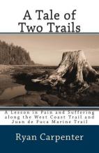
- A Tale of Two Trails
- It was the best of trails and the worst of trails. Each year, thousands of hikers from around the world make a pilgrimage to the West Coast Trail: a rough and tumble trail along the coast of Vancouver Island lurking with dangers and difficulties, home to hundreds of shipwrecks and rated as one of the most scenic trails in all of North... Read more
- Also available from:
- Bol.com, Belgium
Bol.com
Belgium
Belgium
- A Tale of Two Trails
- It was the best of trails and the worst of trails. Each year, thousands of hikers from around the world make a pilgrimage to the West Coast Trail: a rough and tumble trail along the coast of Vancouver Island lurking with dangers and difficulties, home to hundreds of shipwrecks and rated as one of the most scenic trails in all of North... Read more
Bol.com
Netherlands
Netherlands
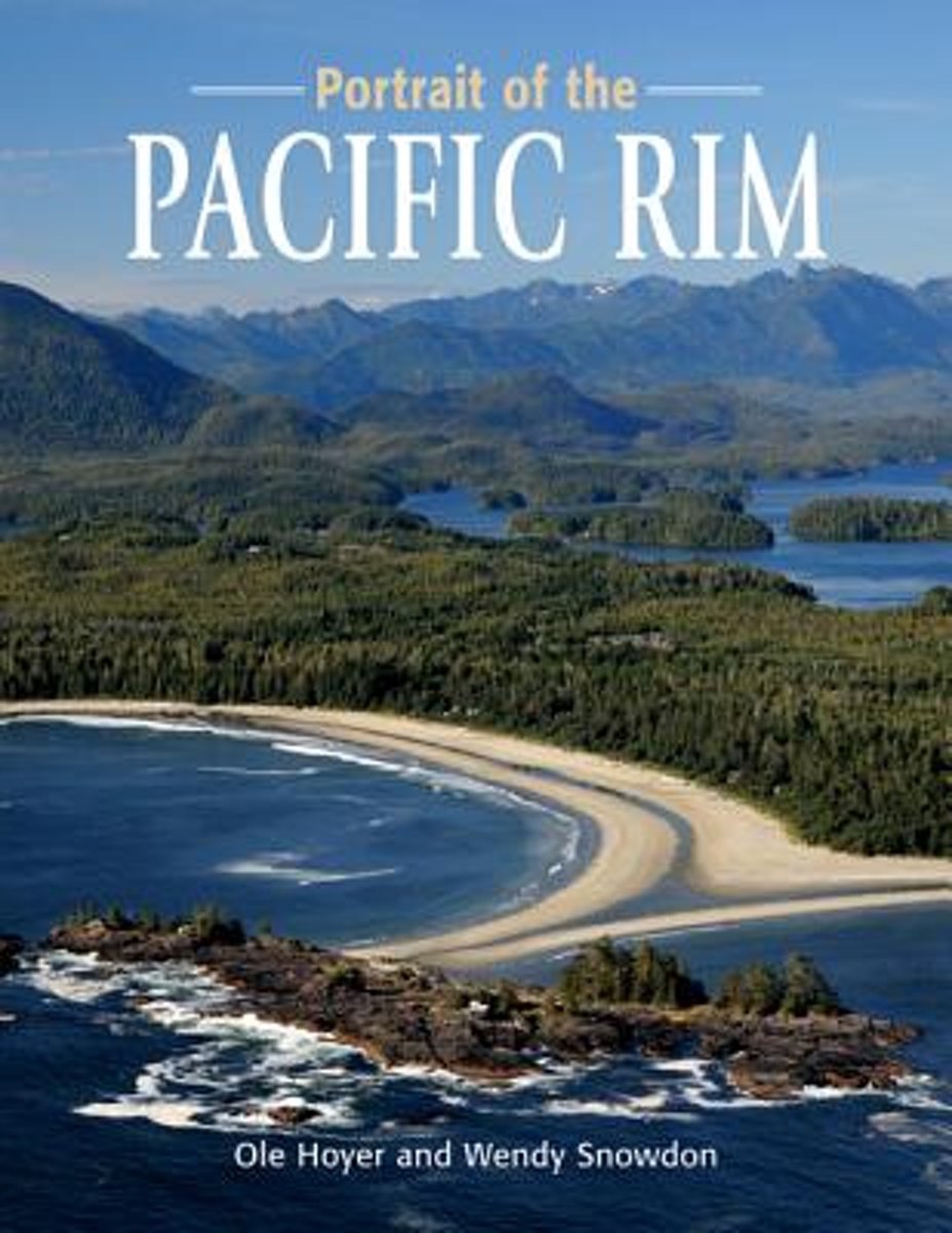
- Portrait of the Pacific Rim
- Portrait of the Pacific Rim is a photographic tour of the awe-inspiring sights and activities on the far edge of Canada. The wild, raw beauty of the Pacific Rim is captured in dozens of colour photographs, as accomplished photographers Ole Hoyer and Wendy Snowdon share some of the gorgeous sights the west coast offers.Pacific Rim National Park... Read more
- Also available from:
- Bol.com, Belgium
Bol.com
Belgium
Belgium
- Portrait of the Pacific Rim
- Portrait of the Pacific Rim is a photographic tour of the awe-inspiring sights and activities on the far edge of Canada. The wild, raw beauty of the Pacific Rim is captured in dozens of colour photographs, as accomplished photographers Ole Hoyer and Wendy Snowdon share some of the gorgeous sights the west coast offers.Pacific Rim National Park... Read more
Bol.com
Netherlands
Netherlands
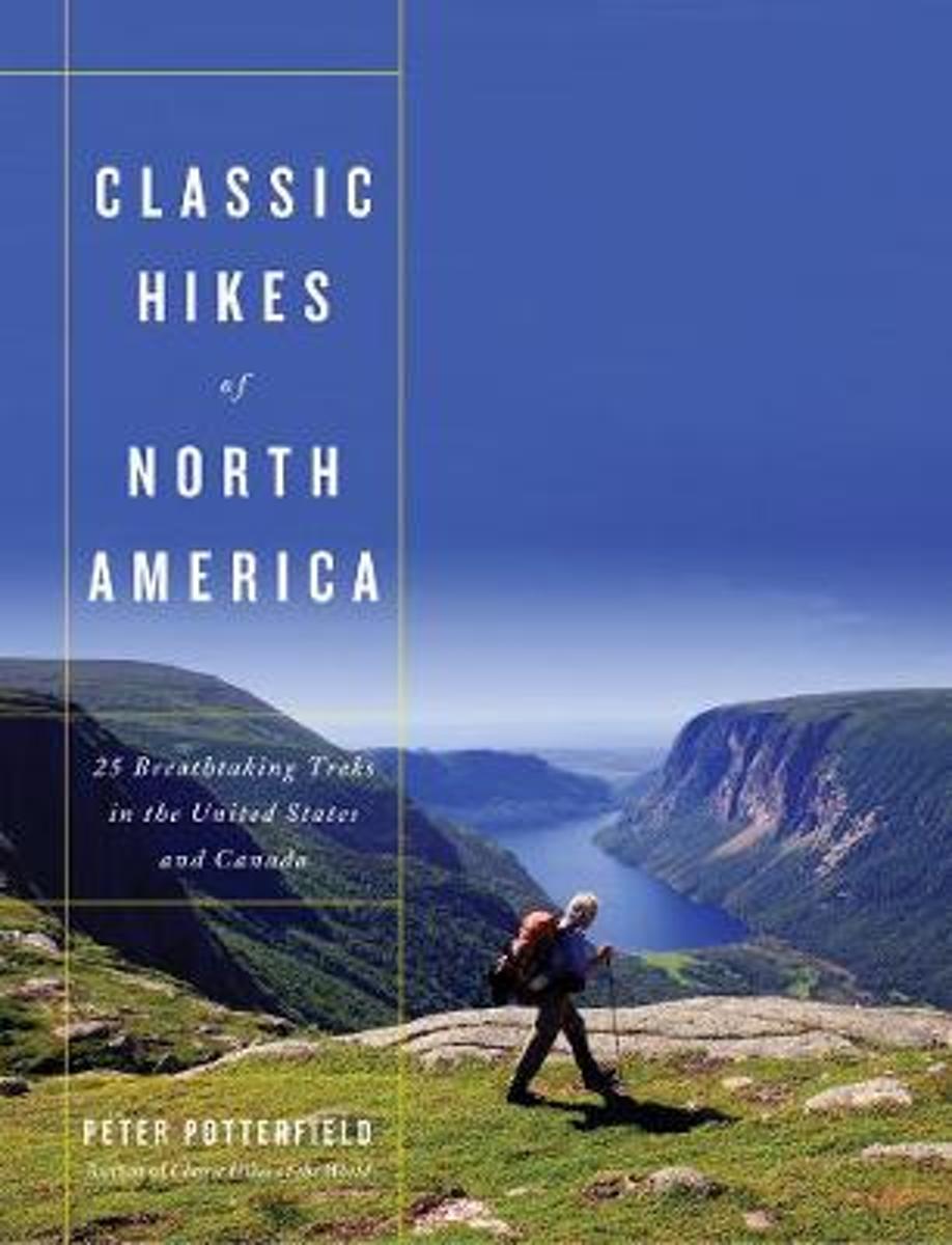
- Classic Hikes of North America
- Classic Hikes of North America is a beautifully photographed and eminently practical account of the best backcountry journeys in the United States and Canada. Peter Potterfield, an experienced hiker and photographer, has analyzed and graded these spectacular wilderness experiences with both beginners and avid hikers in mind. Included in the... Read more
- Also available from:
- Bol.com, Belgium
- The Book Depository, United Kingdom
Bol.com
Belgium
Belgium
- Classic Hikes of North America
- Classic Hikes of North America is a beautifully photographed and eminently practical account of the best backcountry journeys in the United States and Canada. Peter Potterfield, an experienced hiker and photographer, has analyzed and graded these spectacular wilderness experiences with both beginners and avid hikers in mind. Included in the... Read more

The Book Depository
United Kingdom
United Kingdom
- Classic Hikes of North America
- 25 Breathtaking Treks in the United States and Canada Read more

Bol.com
Netherlands
Netherlands
- Leonberger. Leonberger Dog Complete Owners Manual
- The Leonberger Complete Owners Manual has the answers you need when researching this noble and very powerful purebred canine. Learn about the giant mountain dog named after a city in Germany and find out whether or not this breed will be the best choice for you and your family. Learn everything there is to know, including little known facts and... Read more
- Also available from:
- Bol.com, Belgium
Bol.com
Belgium
Belgium
- Leonberger. Leonberger Dog Complete Owners Manual
- The Leonberger Complete Owners Manual has the answers you need when researching this noble and very powerful purebred canine. Learn about the giant mountain dog named after a city in Germany and find out whether or not this breed will be the best choice for you and your family. Learn everything there is to know, including little known facts and... Read more
Bol.com
Netherlands
Netherlands
- Western Canada Handbook
- Covering three fantasitic regions for lovers of the "great outdoors" - the Rockies, Alberta and the Yukon - this guide introduces British Columbia including Vancouver and Vancouver Island. Eco-tourism, sport-based holidays and wildlife viewing are all available in this region of Canada and are all covered in this handbook. It features detailed... Read more
- Also available from:
- Bol.com, Belgium
Bol.com
Belgium
Belgium
- Western Canada Handbook
- Covering three fantasitic regions for lovers of the "great outdoors" - the Rockies, Alberta and the Yukon - this guide introduces British Columbia including Vancouver and Vancouver Island. Eco-tourism, sport-based holidays and wildlife viewing are all available in this region of Canada and are all covered in this handbook. It features detailed... Read more
Bol.com
Netherlands
Netherlands
- British Columbia Almanac
- British Columbia is a province of extraordinary extremes: urban areas and rural territories; lush farm terrain and mountain vistas; balmy ocean views and frozen snowscapes. Its population is equally diverse: gardeners, skiiers, bush pilots, filmmakers, fishermen, and assorted eccentrics who could have only come from British Columbia. Through it... Read more
- Also available from:
- Bol.com, Belgium
Bol.com
Belgium
Belgium
- British Columbia Almanac
- British Columbia is a province of extraordinary extremes: urban areas and rural territories; lush farm terrain and mountain vistas; balmy ocean views and frozen snowscapes. Its population is equally diverse: gardeners, skiiers, bush pilots, filmmakers, fishermen, and assorted eccentrics who could have only come from British Columbia. Through it... Read more
Bol.com
Netherlands
Netherlands
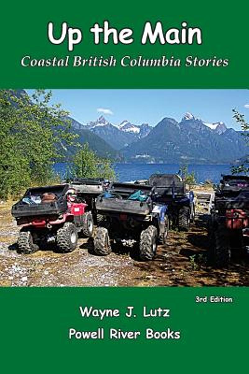
- Up the Main
- From Desolation Sound to Jervis Inlet, coastal British Columbia at its best. Canadian stories about the Sunshine Coast. Boating, hiking, and survival off the grid in coastal BC. Off-road riding on quads and motorcycles in the region surrounding Powell River, BC. Read more
- Also available from:
- Bol.com, Belgium
Bol.com
Belgium
Belgium
- Up the Main
- From Desolation Sound to Jervis Inlet, coastal British Columbia at its best. Canadian stories about the Sunshine Coast. Boating, hiking, and survival off the grid in coastal BC. Off-road riding on quads and motorcycles in the region surrounding Powell River, BC. Read more
Kaarten
De Zwerver
Netherlands
Netherlands
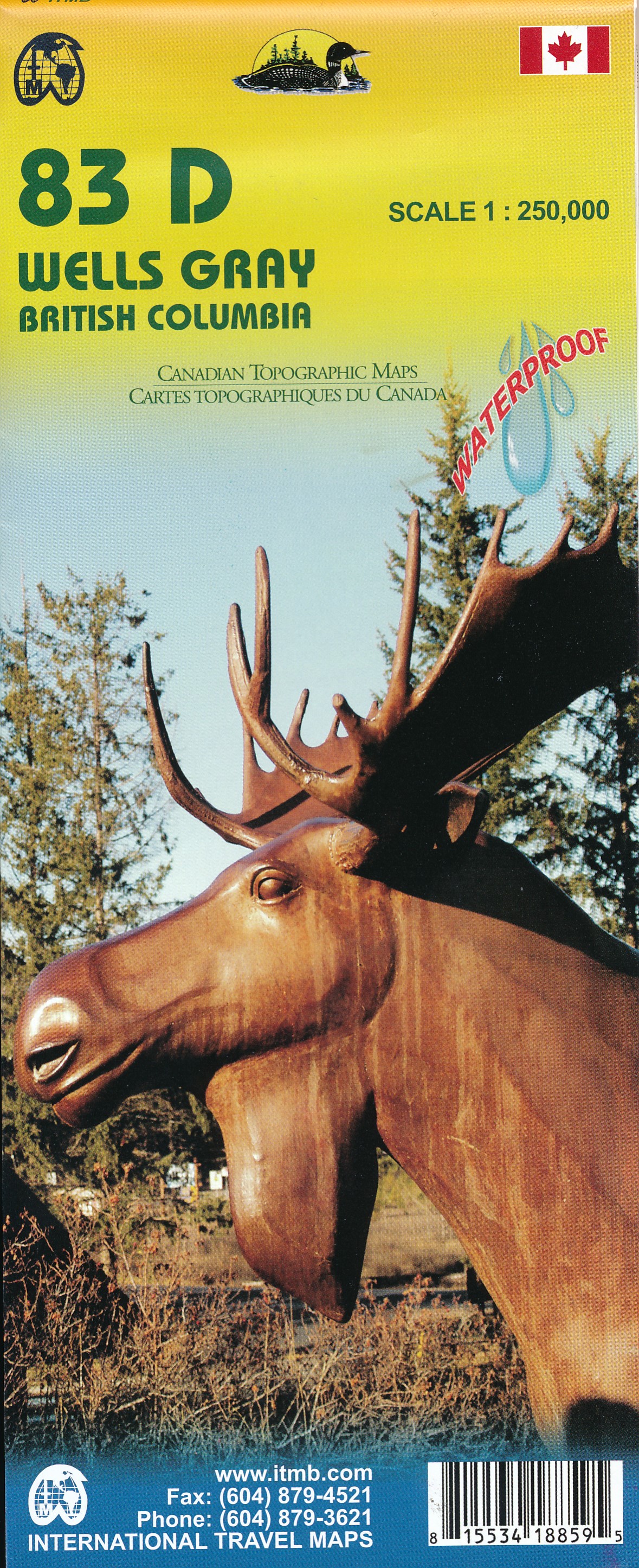
- Wegenkaart - landkaart 83D Wells Gray - Murtle Lake | ITMB
- Wells Gray - Murtle Lake at 1:250,000 and 1:50,000 in a series of topographic survey maps of selected areas of British Columbia and the Canadian Rockies from ITMB with cartography from Canada Read more
- Also available from:
- Stanfords, United Kingdom

Stanfords
United Kingdom
United Kingdom
- Wells Gray - Murtle Lake ITMB
- Wells Gray - Murtle Lake at 1:250,000 and 1:50,000 in a series of topographic survey maps of selected areas of British Columbia and the Canadian Rockies from ITMB with cartography from Canada’s national survey organization. Most sheets are printed on light, waterproof and tear- resistant plastic paper.Whilst the Canadian Department of Natural... Read more
De Zwerver
Netherlands
Netherlands
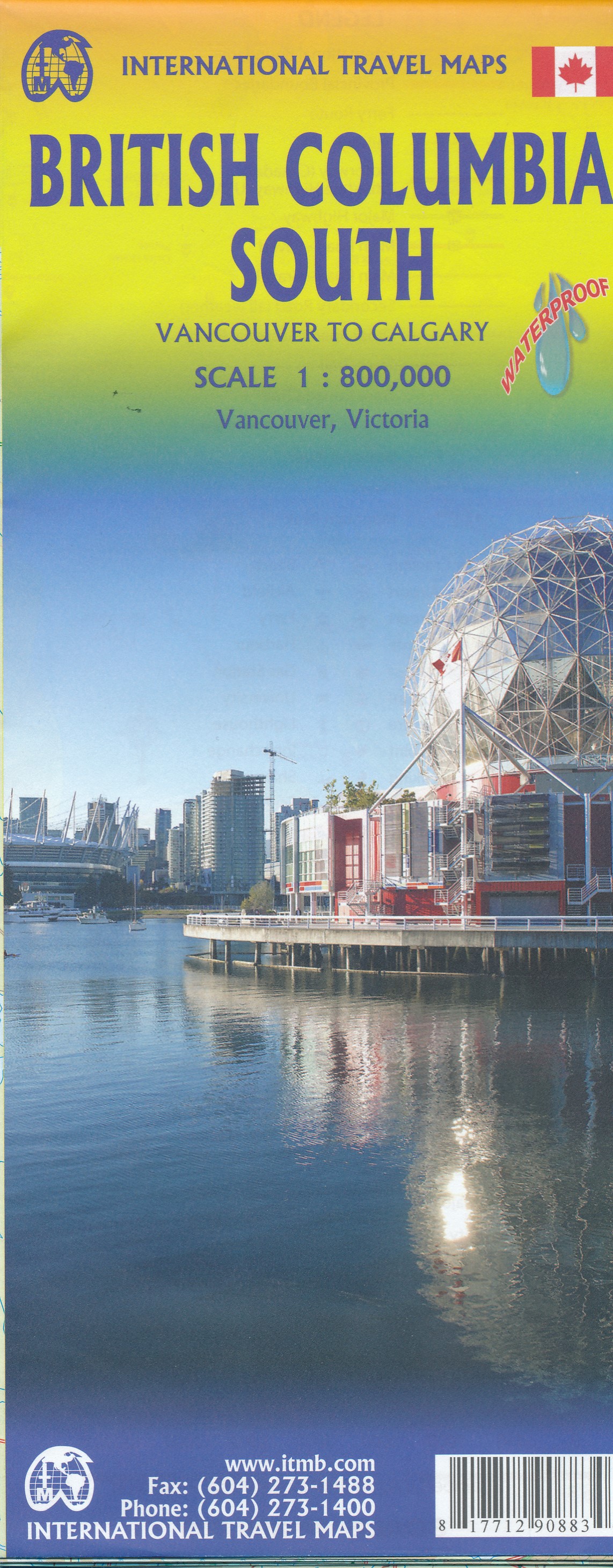
- Wegenkaart - landkaart British Columbia South (Canada) | ITMB
- Indexed double-sided road map at 1:900,000 from ITMB of the southern part of British Columbia, extending from Vancouver Island to Calgary to cover the whole of the Banff and Jasper National Parks, with plans of downtown Vancouver and Victoria. Coverage northwards extends to include the southern part of Haida Gwai (Queen Charlotte) Islands and... Read more
- Also available from:
- Stanfords, United Kingdom

Stanfords
United Kingdom
United Kingdom
- British Columbia South ITMB
- Indexed double-sided road map at 1:800,000 from ITMB of the southern part of British Columbia, extending from Vancouver Island to Calgary to cover the whole of the Banff and Jasper National Parks, with plans of downtown Vancouver and Victoria. Coverage northwards extends to include the southern part of Haida Gwai (Queen Charlotte) Islands and... Read more
De Zwerver
Netherlands
Netherlands
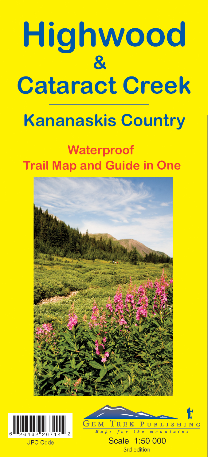
- Wandelkaart 09 Highwood & Cataract Creek | Gem Trek Maps
- Highwood and Cataract Creek area of the Canadian Rockies on a contoured and GPS compatible, waterproof and tear-resistant map at 1:50,000 from Gem Trek with descriptions of recommended trails and other tourist information. On the reverse an inset at 1:50 000 extends the coverage south to take in the trails accessed from Highways 940 and 542,... Read more
- Also available from:
- Stanfords, United Kingdom

Stanfords
United Kingdom
United Kingdom
- Highwood & Cataract Creek - Kananaskis Country Gem Trek Map
- Highwood and Cataract Creek area of the Canadian Rockies on a contoured and GPS compatible, waterproof and tear-resistant map at 1:50,000 from Gem Trek with descriptions of recommended trails and other tourist information. On the reverse an inset at 1:50 000 extends the coverage south to take in the trails accessed from Highways 940 and 542,... Read more
De Zwerver
Netherlands
2020
Netherlands
2020
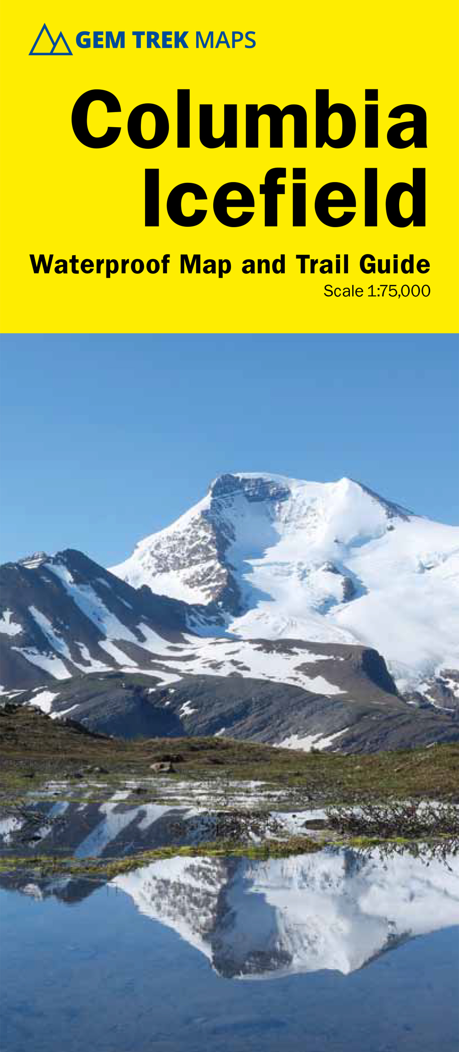
- Wandelkaart 02 Columbia Icefield | Gem Trek Maps
- Columbia Icefield spanning the border between the Banff and the Jasper National Parks in the Canadian Rockies on a contoured and GPS-compatible, waterproof and tear-resistant map at 1:75,000 from Gem Trek, with extensive tourist information including recommended hikes, geology, etc. Coverage extends along both sides of the Icefields Parkway... Read more
- Also available from:
- Stanfords, United Kingdom

Stanfords
United Kingdom
2020
United Kingdom
2020
- Columbia Icefield Gem Trek Map
- Columbia Icefield spanning the border between the Banff and the Jasper National Parks in the Canadian Rockies on a contoured and GPS-compatible, waterproof and tear-resistant map at 1:75,000 from Gem Trek, with extensive tourist information including recommended hikes, geology, etc. Coverage extends along both sides of the Icefields Parkway... Read more
De Zwerver
Netherlands
Netherlands
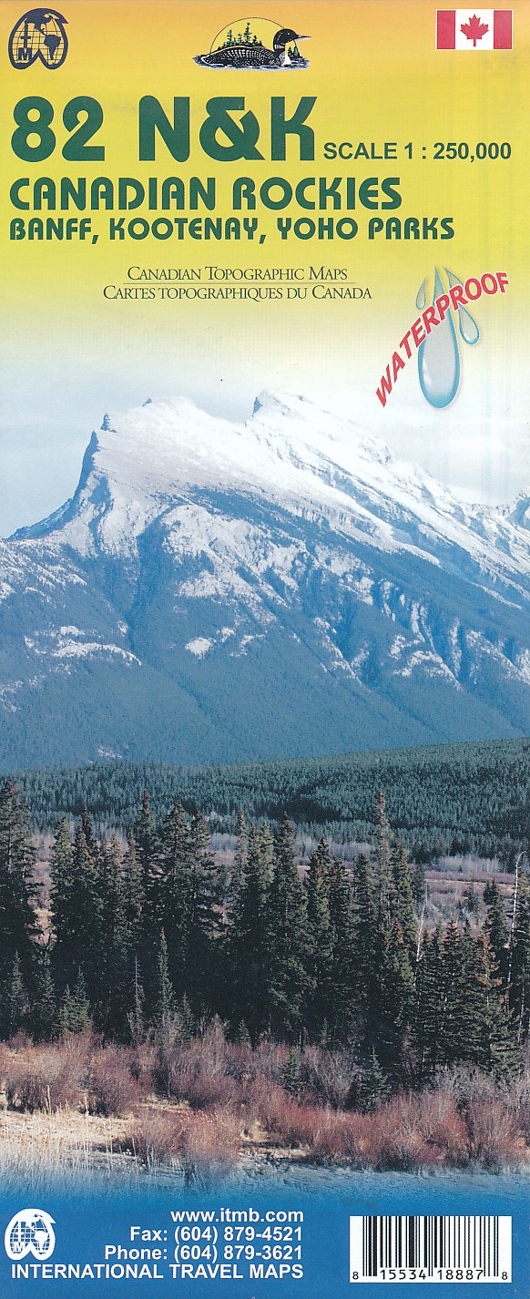
- Topografische kaart 82 N&K Canadian Rockies Banff, Kootenay, Yoho Parks | ITMB
- 1:250,000 scale, 1st Edition, 2008 – This is a fabulous map. The artwork consists of four complete Govt. of Canada Topographic maps (82J, K, N, and O) overprinted with hundreds of touristic attractions – camping sites, hiking trails, canoeing areas, wilderness lodges, youth hostels, golf courses – you name it, it's there. Coverage is from... Read more
- Also available from:
- Stanfords, United Kingdom

Stanfords
United Kingdom
United Kingdom
- Canadian Rockies - Banff - Kootenay - Yoho Parks ITMB
- Canadian Rockies: Banff, Kootenay and Yoho National Parks at 1:250,000 in a series of topographic survey maps of selected areas of British Columbia and the Canadian Rockies from ITMB with cartography from Canada’s national survey organization. Most sheets are printed on light, waterproof and tear- resistant plastic paper.Whilst the Canadian... Read more
De Zwerver
Netherlands
Netherlands
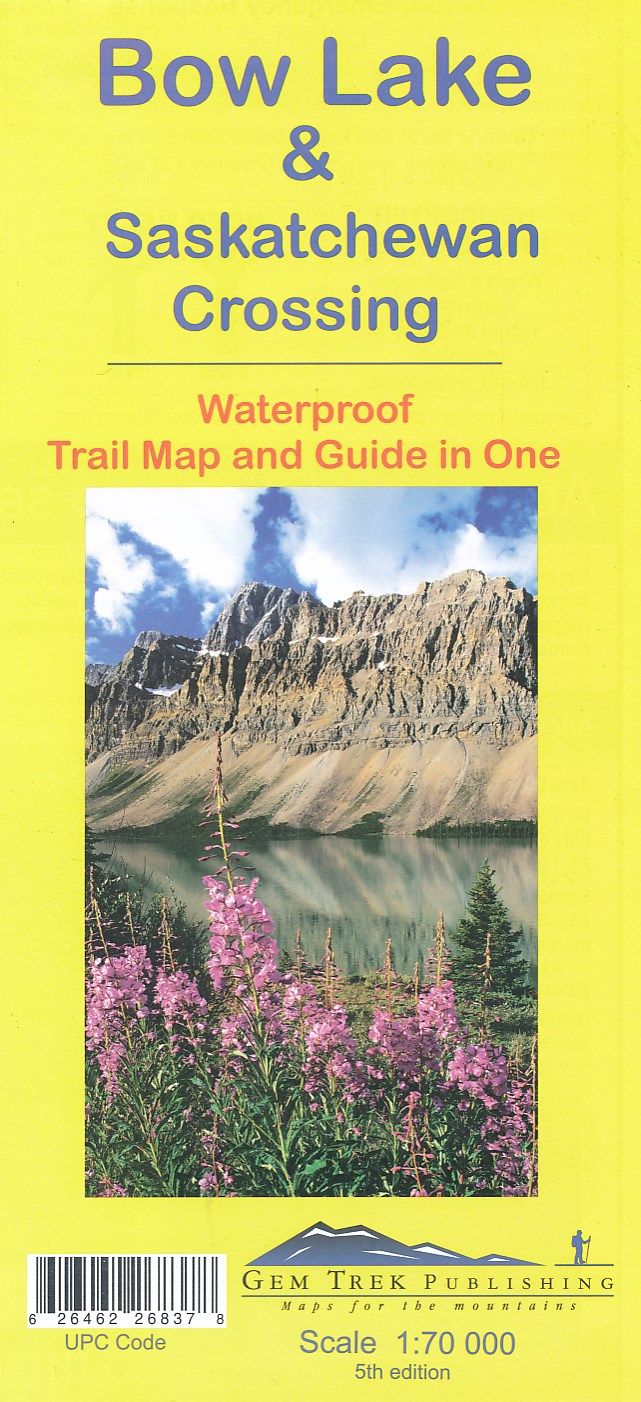
- Wandelkaart 03 Bow Lake and Saskatchewan Crossing | Gem Trek Maps
- Bow Lake - Saskatchewan Crossing region of the Canadian Rockies on a contoured and GPS compatible map at 1:70,000 from Gem Trek with an extension at 1:100,000 to include the Mosquito Creek – Fish Lakes area, plus extensive tourist information on recommended hikes, etc.The map shows trails departing from the southern section of the Icefields... Read more
- Also available from:
- Stanfords, United Kingdom

Stanfords
United Kingdom
United Kingdom
- Bow Lake & Saskatchewan Crossing Gem Trek Map
- Bow Lake - Saskatchewan Crossing region of the Canadian Rockies on a contoured and GPS compatible map at 1:70,000 from Gem Trek with an extension at 1:100,000 to include the Mosquito Creek – Fish Lakes area, plus extensive tourist information on recommended hikes, etc.The map shows trails departing from the southern section of the Icefields... Read more
De Zwerver
Netherlands
Netherlands
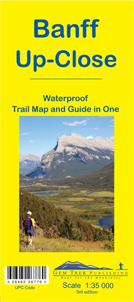
- Wandelkaart 11 Banff Up-Close | Gem Trek Maps
- Gem Trek Map-Guides Banff Up-Close (11) - This map-and-guide-in-one is designed for people who are only going to be in Banff for one to three days, and want to know what the highlights are and how to find them.On the front is a detailed relief-shaded topographic map of the Banff townsite area, from the Sundance and Sulphur Mountain areas in the... Read more
- Also available from:
- Stanfords, United Kingdom

Stanfords
United Kingdom
United Kingdom
- Banff Up-Close Gem Trek
- Banff town and the surrounding area on a contoured and GPS compatible, waterproof and tear-resistant map/guide at 1:35,000 from Gem Trek, designed for people who are only going to be in Banff for one to three days and want to know the highlights. On one side is a detailed, topographic map of the Banff village area, from the Sundance and Sulphur... Read more
De Zwerver
Netherlands
Netherlands
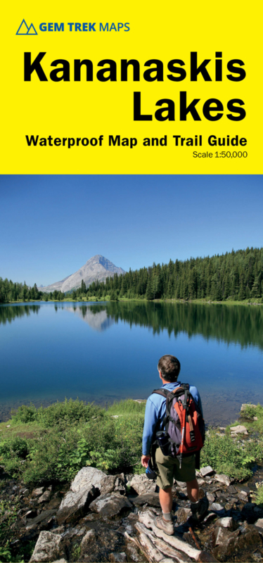
- Wandelkaart 07 Kananaskis Lakes | Gem Trek Maps
- Kananaskis Lakes area of the Canadian Rockies on a contoured and GPS compatible, waterproof and tear-resistant map at 1:50,000 from Gem Trek with an enlargement of the Lower Kananaskis Lake, descriptions of recommended trails and other tourist information.The map covers some of the most scenic terrain in all of Kananaskis Country - the upper... Read more
- Also available from:
- Stanfords, United Kingdom

Stanfords
United Kingdom
United Kingdom
- Kananaskis Lakes Gem Trek
- Kananaskis Lakes area of the Canadian Rockies on a contoured and GPS compatible, waterproof and tear-resistant map at 1:50,000 from Gem Trek with an enlargement of the Lower Kananaskis Lake, descriptions of recommended trails and other tourist information.The map covers some of the most scenic terrain in all of Kananaskis Country - the upper... Read more
De Zwerver
Netherlands
Netherlands
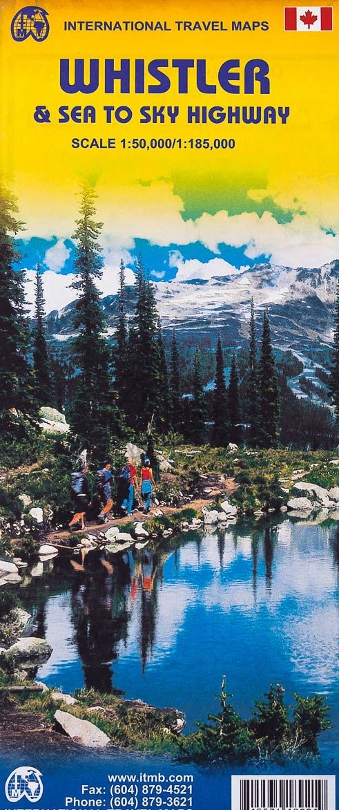
- Wegenkaart - landkaart Whistler & Sea to Sky Highway | ITMB
- Detailed contoured map from ITMB presenting the Whistler region at 1:50,000 with an additional street plan of the resort itself, plus on the reverse a road map at 1:185,000 of the south-western tip of British Columbia. The main map at 1:50,000 covers the area round the resort, including the northern part of the Garibaldi Provincial Park and the... Read more
- Also available from:
- Stanfords, United Kingdom

Stanfords
United Kingdom
United Kingdom
- Whistler and Sea-to-Sky Highway ITMB
- Detailed contoured map from ITMB presenting the Whistler region at 1:50,000 with an additional street plan of the resort itself, plus on the reverse a road map at 1:185,000 of the south-western tip of British Columbia. The main map at 1:50,000 covers the area round the resort, including the northern part of the Garibaldi Provincial Park and the... Read more
De Zwerver
Netherlands
Netherlands
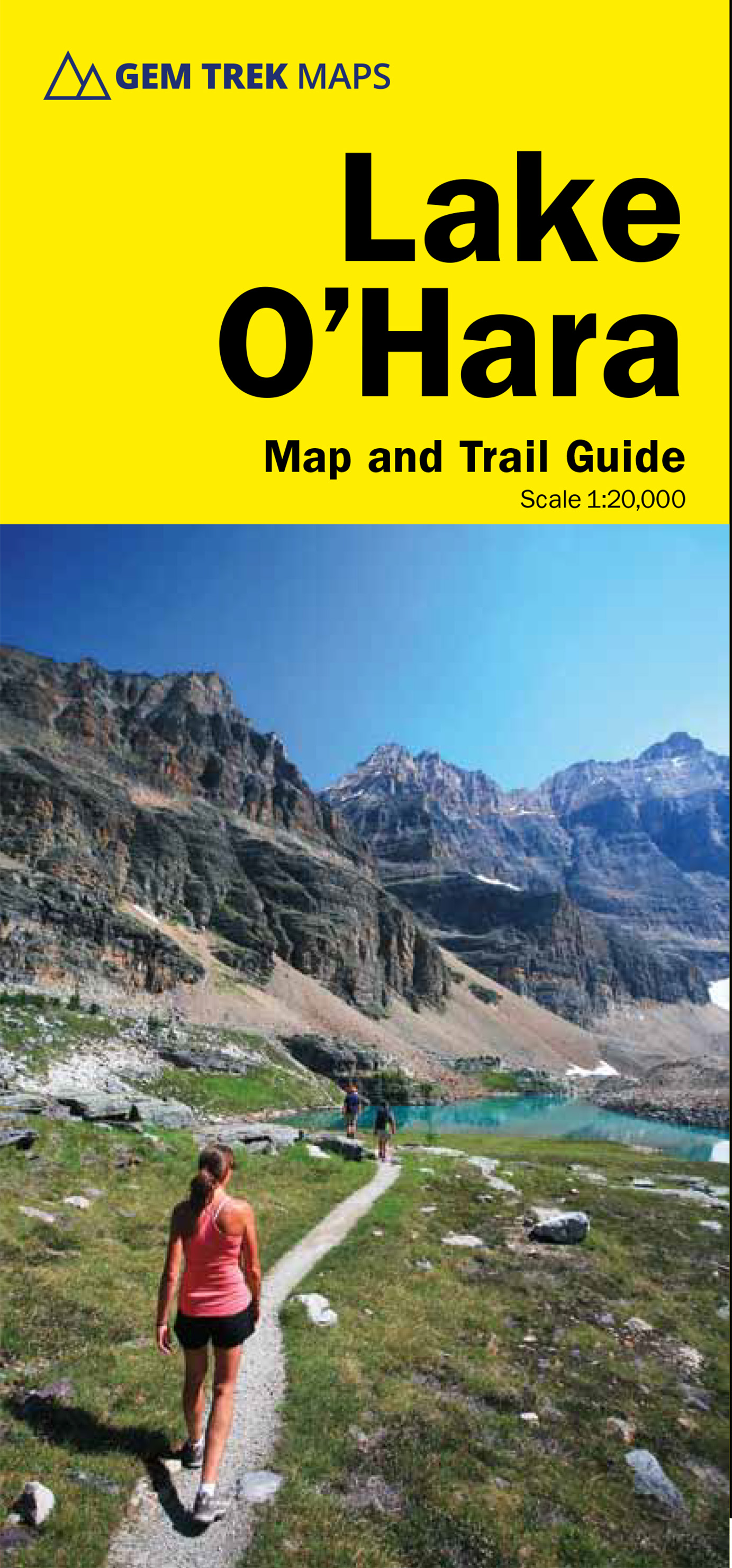
- Wandelkaart 14 Lake O'Hara | Gem Trek Maps
- The entire Lake O`Hara trail network with hiking trails and alpine routes, presented on a contoured and GPS-compatible map at 1:20,000 from Gem Trek, Contours are at 25m intervals and the map has a UTM grid and margin ticks at 5’. On the reverse are descriptions of all the trails shown on the map - Lake O`Hara Lakeshore, Lake Oesa, Lake... Read more
- Also available from:
- Stanfords, United Kingdom

Stanfords
United Kingdom
United Kingdom
- Lake O`Hara Gem Trek Map
- The entire Lake O`Hara trail network with hiking trails and alpine routes, presented on a contoured and GPS-compatible map at 1:20,000 from Gem Trek, Contours are at 25m intervals and the map has a UTM grid and margin ticks at 5’. On the reverse are descriptions of all the trails shown on the map - Lake O`Hara Lakeshore, Lake Oesa, Lake... Read more
De Zwerver
Netherlands
Netherlands
De Zwerver
Netherlands
Netherlands
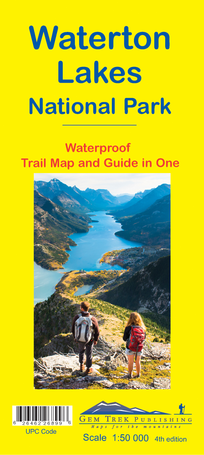
- Wandelkaart 16 Waterton Lakes NP | Gem Trek Maps
- The Waterton Lakes National Park map is one of our most popular trail map-guides for the Canadian Rockies. This map covers all of Waterton Lakes National Park, the eastern end of Akamina-Kishinena Provincial Park, and the Goat Haunt or northern area of Glacier National Park, Montana, at the south end of Upper Waterton Lake. The front of the map... Read more
- Also available from:
- Stanfords, United Kingdom

Stanfords
United Kingdom
United Kingdom
- Waterton Lakes National Park Gem Trek Map
- Waterton Lakes National Park in British Columbia with the northern part of the Glacier National Park across the US border in Montana at 1:50,000 on a light, waterproof and tear-resistant map from Gem Trek with descriptions of recommended treks and bike trails, etc.Contours are at 25m intervals, enhanced by relief shading and colouring for... Read more