
Crater Lake National Park
Beschrijving
Paden in deze regio
Links
Feiten
Verslagen
Gidsen en kaarten
Overnachting
Organisaties
Reisorganisaties
GPS
Anders
Boeken

De Zwerver
Netherlands
Netherlands
- Reisverhaal Six Months With Three Pairs Of Undies | André De Jel, Lian De Jel
- The Pacific Crest Trail Read more

De Zwerver
Netherlands
2018
Netherlands
2018
Bol.com
Netherlands
Netherlands
- Twelve Months at Lake Valhalla
- Twelve months of visits to a mountain lake tells more than twelve tales. The solitude found during a Wednesday in the winter is completely different than the chaos found on a Saturday in the summer. The seasons make one set of changes. We make the other. The combination produces a much more interesting set of experiences that can't be revealed... Read more
- Also available from:
- Bol.com, Belgium
Bol.com
Belgium
Belgium
- Twelve Months at Lake Valhalla
- Twelve months of visits to a mountain lake tells more than twelve tales. The solitude found during a Wednesday in the winter is completely different than the chaos found on a Saturday in the summer. The seasons make one set of changes. We make the other. The combination produces a much more interesting set of experiences that can't be revealed... Read more
Bol.com
Netherlands
Netherlands
- Day by Day on the Pacific Crest Trail
- Written while hiking the PCT this book reveals, moment by moment, what it smells, tastes and above all, feels like to walk from Mexico to Canada. Former BBC Correspondent Simon Willis charts an emanational course through high mountains, baking deserts and personal tragedy. Illustrated with more than 150 colour photographs - hence the higher... Read more
- Also available from:
- Bol.com, Belgium
Bol.com
Belgium
Belgium
- Day by Day on the Pacific Crest Trail
- Written while hiking the PCT this book reveals, moment by moment, what it smells, tastes and above all, feels like to walk from Mexico to Canada. Former BBC Correspondent Simon Willis charts an emanational course through high mountains, baking deserts and personal tragedy. Illustrated with more than 150 colour photographs - hence the higher... Read more
Bol.com
Netherlands
Netherlands
- My Journey to Freedom and Ultralight Backpacking
- This is the inspiring account of her adventures, of hiking thousands of miles (mostly alone) from Mexico to Canada, through the Mojave Desert and the High Sierra, and then in the Appalachian Mountains from Georgia to Maine. When she hasn't been hiking, she has been designing ultralight backpacking gear; award winning gear that has been... Read more
- Also available from:
- Bol.com, Belgium
- The Book Depository, United Kingdom
Bol.com
Belgium
Belgium
- My Journey to Freedom and Ultralight Backpacking
- This is the inspiring account of her adventures, of hiking thousands of miles (mostly alone) from Mexico to Canada, through the Mojave Desert and the High Sierra, and then in the Appalachian Mountains from Georgia to Maine. When she hasn't been hiking, she has been designing ultralight backpacking gear; award winning gear that has been... Read more

Bol.com
Netherlands
Netherlands
- Ultralight Winter Travel
- The key to winter travel is knowing how to travel as light as possible. The Ultralight series is perfect for both beginner and experts alike as Justin Lichter and Shawn Forry, the first ever winter thru-hikers of the Pacific Crest Trail, use their knowledge to form the most comprehensive companion for traveling farther with less weight.... Read more
- Also available from:
- Bol.com, Belgium
- The Book Depository, United Kingdom
Bol.com
Belgium
Belgium
- Ultralight Winter Travel
- The key to winter travel is knowing how to travel as light as possible. The Ultralight series is perfect for both beginner and experts alike as Justin Lichter and Shawn Forry, the first ever winter thru-hikers of the Pacific Crest Trail, use their knowledge to form the most comprehensive companion for traveling farther with less weight.... Read more

The Book Depository
United Kingdom
United Kingdom
- Ultralight Winter Travel
- The Ultimate Guide to Lightweight Winter Camping, Hiking, and Backpacking Read more
Bol.com
Netherlands
Netherlands
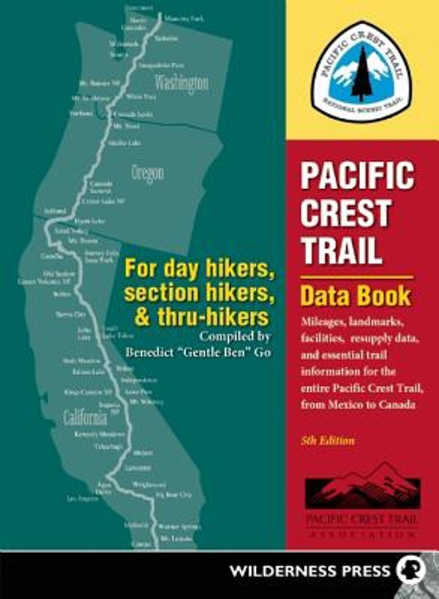
- Pacific Crest Trail Data Book
- The essential, cut-to-the-chase handbook to the Pacific Crest Trail, based on the comprehensive Wilderness Press guidebooks to the PCT, has been completely updated. Packed with trail-tested features, it s useful both on and off the trail, covering pre-trip planning for resupply stops, how to set daily on-the-trail mileage goals by knowing trail... Read more
- Also available from:
- Bol.com, Belgium
Bol.com
Belgium
Belgium
- Pacific Crest Trail Data Book
- The essential, cut-to-the-chase handbook to the Pacific Crest Trail, based on the comprehensive Wilderness Press guidebooks to the PCT, has been completely updated. Packed with trail-tested features, it s useful both on and off the trail, covering pre-trip planning for resupply stops, how to set daily on-the-trail mileage goals by knowing trail... Read more
Bol.com
Netherlands
2011
Netherlands
2011
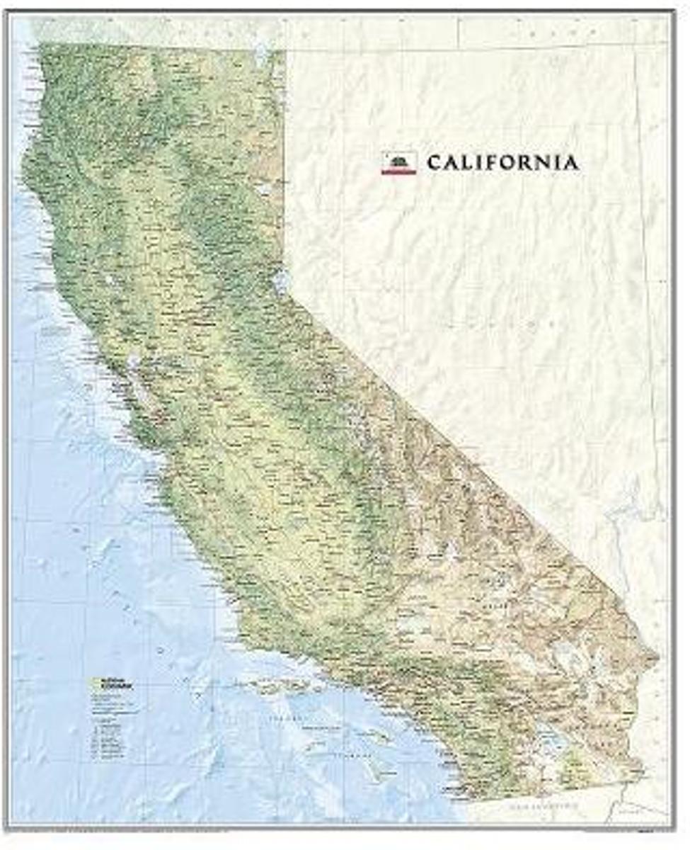
- California, Laminated
- National Geographic's wall map of California offers a dramatic visualization of the Golden State's physical geography. From the Sonoran and Mohave deserts, the fertile Central Valley, the mighty Sierra Nevada Mountains, and the Redwood Empire, the entire state is rendered in elegant detail. Stunning shaded relief depicts mountains and ocean... Read more
- Also available from:
- Bol.com, Belgium
Bol.com
Belgium
2011
Belgium
2011
- California, Laminated
- National Geographic's wall map of California offers a dramatic visualization of the Golden State's physical geography. From the Sonoran and Mohave deserts, the fertile Central Valley, the mighty Sierra Nevada Mountains, and the Redwood Empire, the entire state is rendered in elegant detail. Stunning shaded relief depicts mountains and ocean... Read more
Bol.com
Netherlands
Netherlands
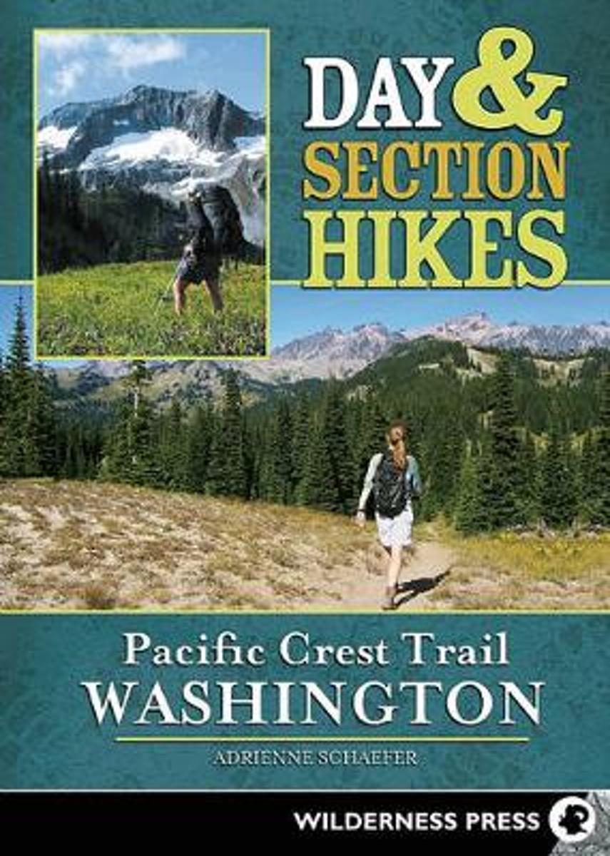
- Day & Section Hikes Pacific Crest Trail
- Discover the best segments of the Pacific Crest Trail in Washington with this succinct and portable guide. Instead of guiding hikers through the arduous task of hiking the entire Pacific Crest Trail, this guide helps travelers plan trips that incorporate hiking on the PCT. From the mighty waters of the Columbia River to the majestic peaks of... Read more
- Also available from:
- Bol.com, Belgium
Bol.com
Belgium
Belgium
- Day & Section Hikes Pacific Crest Trail
- Discover the best segments of the Pacific Crest Trail in Washington with this succinct and portable guide. Instead of guiding hikers through the arduous task of hiking the entire Pacific Crest Trail, this guide helps travelers plan trips that incorporate hiking on the PCT. From the mighty waters of the Columbia River to the majestic peaks of... Read more
Bol.com
Netherlands
Netherlands
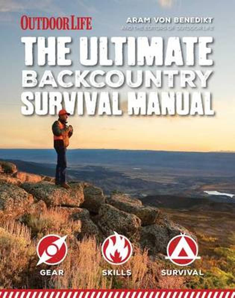
- Ultimate Backcountry Survival Manual
- When it s you against the wilderness, you need to be prepared for whatever life can throw at you. Whether you re planning to hike the Pacific Crest Trail or camping off the beaten path in your nearby state park, being out in the wild comes with inherent risks. From the everyday disruptions to the extreme circumstances, the "Total Backcountry... Read more
- Also available from:
- Bol.com, Belgium
Bol.com
Belgium
Belgium
- Ultimate Backcountry Survival Manual
- When it s you against the wilderness, you need to be prepared for whatever life can throw at you. Whether you re planning to hike the Pacific Crest Trail or camping off the beaten path in your nearby state park, being out in the wild comes with inherent risks. From the everyday disruptions to the extreme circumstances, the "Total Backcountry... Read more
Bol.com
Netherlands
Netherlands
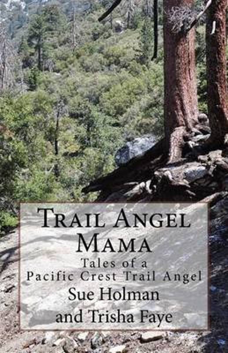
- Trail Angel Mama
- Trail magic; kindnesses from the hearts of strangers add magic to hikers journeys. This magic is often small a bottle of water, a ride into town, a candy bar. Sometimes the generosity is a meal or a bed for the night. The Holmans, day hikers themselves, live near the Pacific Crest Trail. They searched for a way to give back to their... Read more
- Also available from:
- Bol.com, Belgium
- The Book Depository, United Kingdom
Bol.com
Belgium
Belgium
- Trail Angel Mama
- Trail magic; kindnesses from the hearts of strangers add magic to hikers journeys. This magic is often small a bottle of water, a ride into town, a candy bar. Sometimes the generosity is a meal or a bed for the night. The Holmans, day hikers themselves, live near the Pacific Crest Trail. They searched for a way to give back to their... Read more

Bol.com
Netherlands
Netherlands
- Triple Crown of Hiking [In Gift Box]
- The United States has numerous long distance trails but three trails have risen to the top of the consciousness of the hiking community. These are the Appalachian Trail at 2,200 miles, the Pacific Crest Trail at 2,700 miles and the Contental Divide Trail at 3,100 miles. Added together these three trails cover almost 8,000 miles of the most... Read more
- Also available from:
- Bol.com, Belgium
Bol.com
Belgium
Belgium
- Triple Crown of Hiking [In Gift Box]
- The United States has numerous long distance trails but three trails have risen to the top of the consciousness of the hiking community. These are the Appalachian Trail at 2,200 miles, the Pacific Crest Trail at 2,700 miles and the Contental Divide Trail at 3,100 miles. Added together these three trails cover almost 8,000 miles of the most... Read more
Bol.com
Netherlands
Netherlands
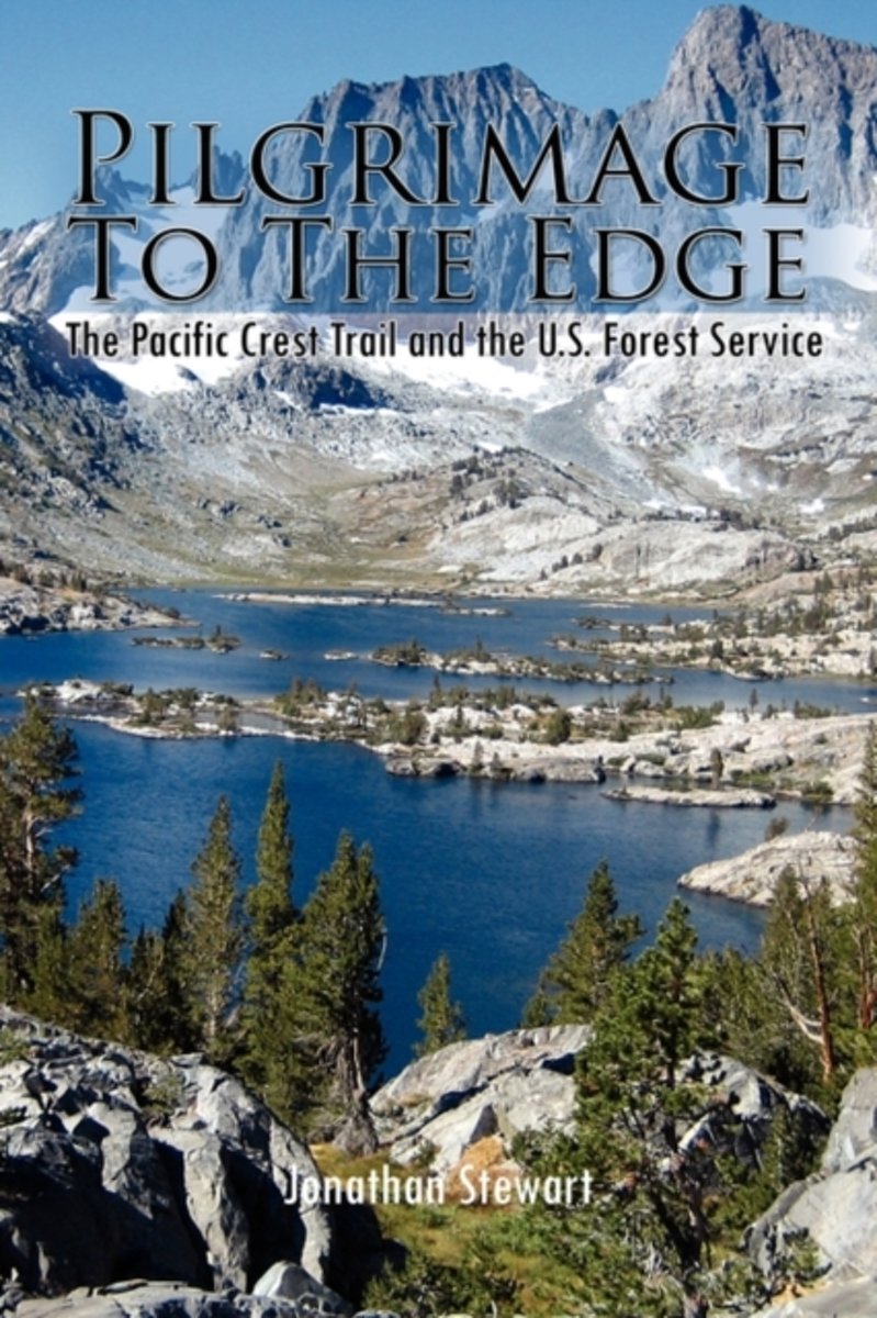
- Pilgrimage to the Edge
- Pilgrimage to the Edge details a four year odyssey hiking the Pacific Crest Trail with unique insights gained from thirty-three years of public service. It showcases the hard-won fight to preserve America's public lands and the diversity of people who continue to use and work them. It vividly displays the contemporary challenges of caring for... Read more
- Also available from:
- Bol.com, Belgium
Bol.com
Belgium
Belgium
- Pilgrimage to the Edge
- Pilgrimage to the Edge details a four year odyssey hiking the Pacific Crest Trail with unique insights gained from thirty-three years of public service. It showcases the hard-won fight to preserve America's public lands and the diversity of people who continue to use and work them. It vividly displays the contemporary challenges of caring for... Read more
Bol.com
Netherlands
Netherlands
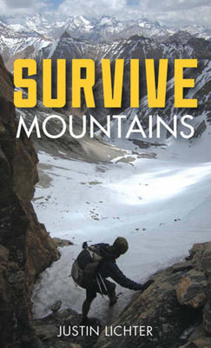
- Survive
- Lightweight and small enough to fit in your pocket or tucked into your backpack, Survive Mountains is the must-have item to keep with you in case you find yourself in a mountainous survival situation. Including topics on administering basic first-aid, finding food and water, building shelter, and mental preparation, Survive Mountains also has... Read more
- Also available from:
- Bol.com, Belgium
Bol.com
Belgium
Belgium
- Survive
- Lightweight and small enough to fit in your pocket or tucked into your backpack, Survive Mountains is the must-have item to keep with you in case you find yourself in a mountainous survival situation. Including topics on administering basic first-aid, finding food and water, building shelter, and mental preparation, Survive Mountains also has... Read more
Bol.com
Netherlands
Netherlands
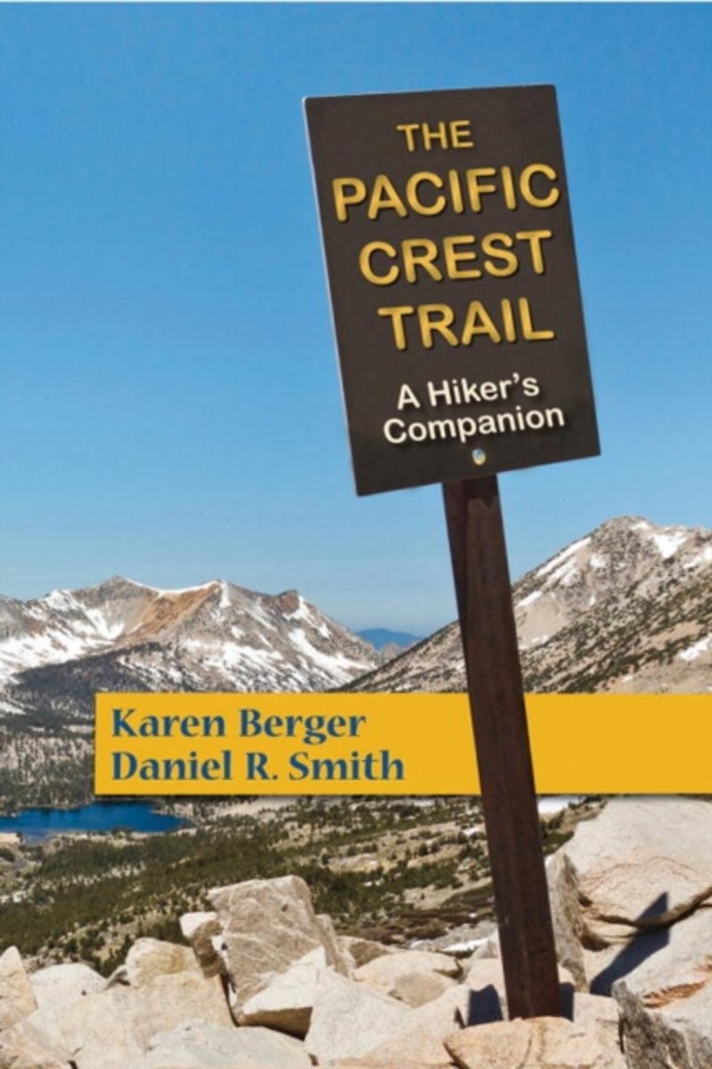
- The Pacific Crest Trail
- For many people, the Pacific Crest Trail is the ultimate long-distance hiking trail. Beginning in the dry valleys of southern California, it follows the crest of the snow-capped Sierras and ends in the ancient forests of Washingtons Cascades. Along the way, national treasures such as Yosemite, Crater Lake, and Mount Rainier make this trail one... Read more
- Also available from:
- Bol.com, Belgium
Bol.com
Belgium
Belgium
- The Pacific Crest Trail
- For many people, the Pacific Crest Trail is the ultimate long-distance hiking trail. Beginning in the dry valleys of southern California, it follows the crest of the snow-capped Sierras and ends in the ancient forests of Washingtons Cascades. Along the way, national treasures such as Yosemite, Crater Lake, and Mount Rainier make this trail one... Read more
Kaarten

De Zwerver
Netherlands
Netherlands
- Wandelkaart - Topografische kaart 205 Sequoia - Kings Canyon National Parks | National Geographic
- Prachtige geplastificeerde kaart van het nationaal park. Met alle recreatieve voorzieningen als campsites, maar ook met topografische details en wandelroutes ed. Door uitgekiend kleurgebruik zeer prettig in gebruik. Scheur en watervast! Trails Illustrated maps are the most trusted and popular recreation maps available. Continually setting the... Read more
- Also available from:
- Bol.com, Netherlands
- Bol.com, Belgium
- Stanfords, United Kingdom
- The Book Depository, United Kingdom

Bol.com
Netherlands
Netherlands
- Sequoia/kings Canyon National Park
- Waterproof Tear-Resistant Topographic MapIn Sequioa and Kings Canyon National Parks you can walk among the world's largest trees, hike the alpine landscape of the Sierra Crest, and marvel at the towering granite cliffs of one of the deepest canyons in the United States. National Geographic's Trails Illustrated map of Sequoia and Kings... Read more
Bol.com
Belgium
Belgium
- Sequoia/kings Canyon National Park
- Waterproof Tear-Resistant Topographic MapIn Sequioa and Kings Canyon National Parks you can walk among the world's largest trees, hike the alpine landscape of the Sierra Crest, and marvel at the towering granite cliffs of one of the deepest canyons in the United States. National Geographic's Trails Illustrated map of Sequoia and Kings... Read more

Stanfords
United Kingdom
United Kingdom
- Sequoia - Kings Canyon National Parks CA NGS Trails Illustrated Map 205
- Map No. 205, Sequoia/Kings Canyon National Park, CA, in an extensive series of GPS compatible, contoured hiking maps of USA’s national and state parks or forests and other popular recreational areas. Cartography based on the national topographic survey, with additional tourist information.The maps, with most titles now printed on light,... Read more

The Book Depository
United Kingdom
United Kingdom
- Sequoia/kings Canyon National Park
- Trails Illustrated National Parks Read more

De Zwerver
Netherlands
Netherlands
- Wandelkaart - Topografische kaart 809 Mammoth Lakes - Mono Divide - Inyo and Sierra National Forests | National Geographic
- Prachtige geplastificeerde kaart van het bekende nationaal park. Met alle recreatieve voorzieningen als campsites, maar ook met topografische details en wandelroutes ed. Door uitgekiend kleurgebruik zeer prettig in gebruik. Scheur en watervast! Trails Illustrated Mammoth Lakes / Mono Divide is the first of five exciting new maps for the... Read more
- Also available from:
- Bol.com, Netherlands
- Bol.com, Belgium
- Stanfords, United Kingdom

Bol.com
Netherlands
Netherlands
- Mammoth Lakes/mono Divide
- Waterproof Tear-Resistant Topographic MapTrails Illustrated Mammoth Lakes / Mono Divide is the first of five exciting new maps for the California Sierra Nevadas that will combine to form seamless coverage of the high-use National Forest areas between Sequoia / Kings Canyon National Parks and Lake Tahoe. This region contains some of the... Read more
Bol.com
Belgium
Belgium
- Mammoth Lakes/mono Divide
- Waterproof Tear-Resistant Topographic MapTrails Illustrated Mammoth Lakes / Mono Divide is the first of five exciting new maps for the California Sierra Nevadas that will combine to form seamless coverage of the high-use National Forest areas between Sequoia / Kings Canyon National Parks and Lake Tahoe. This region contains some of the... Read more

Stanfords
United Kingdom
United Kingdom
- Mammoth Lakes - Mono Divide CA
- Map No. 809, Mammoth Lakes / Mono Divide, CA, in an extensive series of GPS compatible, contoured hiking maps of USA’s national and state parks or forests and other popular recreational areas. Cartography based on the national topographic survey, with additional tourist information.The maps, with most titles now printed on light, waterproof and... Read more

Bol.com
Netherlands
Netherlands
- Carson-iceberg/emigrant/mokleumne Wilderness Areas
- Waterproof Tear-Resistant Topographic MapPart of our exciting new coverage for California's Sierra Nevada, our Carson-Iceberg, Emigrant and Mokelumne Wilderness Trails Illustrated map details the high use recreation areas of Stanislaus and Humboldt-Toiyabe National Forests from Yosemite National Park north to Caples Lake and Markleeville.... Read more
- Also available from:
- Bol.com, Belgium
- Stanfords, United Kingdom
Bol.com
Belgium
Belgium
- Carson-iceberg/emigrant/mokleumne Wilderness Areas
- Waterproof Tear-Resistant Topographic MapPart of our exciting new coverage for California's Sierra Nevada, our Carson-Iceberg, Emigrant and Mokelumne Wilderness Trails Illustrated map details the high use recreation areas of Stanislaus and Humboldt-Toiyabe National Forests from Yosemite National Park north to Caples Lake and Markleeville.... Read more

Stanfords
United Kingdom
United Kingdom
- Carson-Iceberg - Emigrant and Mokleumne Wilderness Areas CA
- Map No. 807, Carson-Iceberg / Emigrant / Mokleumne Wilderness Areas, CA, in an extensive series of GPS compatible, contoured hiking maps of USA’s national and state parks or forests and other popular recreational areas. Cartography based on the national topographic survey, with additional tourist information.The maps, with most titles now... Read more

Bol.com
Netherlands
Netherlands
- Goat Rocks & Norse Peak Wilderness Area, Gifford-pinchot & Okanogan-wenatchee National Forests
- Waterproof Tear-Resistant Topographic MapGifford-Pinchot and Okanogan-Wenatchee National Forests Washington, USAOne of five new Trails Illustrated maps for the Washington Cascades region offers the most detailed and up-to-date map for the forest, carefully researched and developed in co-operation with local land managers and agencies.... Read more
- Also available from:
- Bol.com, Belgium
- Stanfords, United Kingdom
Bol.com
Belgium
Belgium
- Goat Rocks & Norse Peak Wilderness Area, Gifford-pinchot & Okanogan-wenatchee National Forests
- Waterproof Tear-Resistant Topographic MapGifford-Pinchot and Okanogan-Wenatchee National Forests Washington, USAOne of five new Trails Illustrated maps for the Washington Cascades region offers the most detailed and up-to-date map for the forest, carefully researched and developed in co-operation with local land managers and agencies.... Read more

Stanfords
United Kingdom
United Kingdom
- Goat Rocks - Norse Peak William O. Douglas Wilderness Area WA
- Map No. 823, Goat Rocks and Norse Peak Wilderness Area - Gifford-Pinchot and Okanogan-Wenatchee National Forests, WA, in an extensive series of GPS compatible, contoured hiking maps of USA’s national and state parks or forests and other popular recreational areas. Cartography based on the national topographic survey, with additional tourist... Read more

Bol.com
Netherlands
Netherlands
- Alpine Lakes Wilderness Area, Mount Baker-snoqualmie & Okanogan-wenatchee National Forests
- Waterproof Tear-Resistant Topographic MapMount Baker-Snoqualmie and Okanogan-Wenatchee National Forests Washington, USAOne of five new Trails Illustrated maps for the Washington Cascades region offering the most detailed and up-to-date map for the forest, carefully researched and developed in co-operation with local land managers and... Read more
- Also available from:
- Bol.com, Belgium
- Stanfords, United Kingdom
Bol.com
Belgium
Belgium
- Alpine Lakes Wilderness Area, Mount Baker-snoqualmie & Okanogan-wenatchee National Forests
- Waterproof Tear-Resistant Topographic MapMount Baker-Snoqualmie and Okanogan-Wenatchee National Forests Washington, USAOne of five new Trails Illustrated maps for the Washington Cascades region offering the most detailed and up-to-date map for the forest, carefully researched and developed in co-operation with local land managers and... Read more

Stanfords
United Kingdom
United Kingdom
- Alpine Lakes Wilderness - Mt Baker-Snoqualmie and Okanogan-Wenatchee National Forests WA
- Map No. 825, Alpine Lakes Wilderness Area - Mount Baker-Snoqualmie Wilderness Areas and Okanogan-Wenatchee National Forests, WA, in an extensive series of GPS compatible, contoured hiking maps of USA’s national and state parks or forests and other popular recreational areas. Cartography based on the national topographic survey, with additional... Read more

Bol.com
Netherlands
Netherlands
- Mount Whitney
- Waterproof Tear-Resistant Topographic MapMount Whitney is universally famous as the highest mountain in the United State outside of Alaska, as well as the highest point in California. National Geographic's Trails Illustrated map of Mount Whitney is a two-sided, waterproof map designed to meet the needs of Whitney visitors with unmatched... Read more
- Also available from:
- Bol.com, Belgium
- Stanfords, United Kingdom
Bol.com
Belgium
Belgium
- Mount Whitney
- Waterproof Tear-Resistant Topographic MapMount Whitney is universally famous as the highest mountain in the United State outside of Alaska, as well as the highest point in California. National Geographic's Trails Illustrated map of Mount Whitney is a two-sided, waterproof map designed to meet the needs of Whitney visitors with unmatched... Read more

Stanfords
United Kingdom
United Kingdom
- Mount Whitney CA NGS Trails Illustrated Map 322
- Map No. 322, Mount Whitney in California at 1:40,000, in an extensive series of GPS compatible, contoured hiking maps of USA’s national and state parks or forests and other popular recreational areas. Cartography is based on the national topographic survey, with additional tourist information.The maps, with most titles now printed on light,... Read more