
San Isabel National Forest
Beschrijving
Paden in deze regio
Links
Feiten
Verslagen
Gidsen en kaarten
Overnachting
Organisaties
Reisorganisaties
GPS
Anders
Boeken
Bol.com
Netherlands
Netherlands
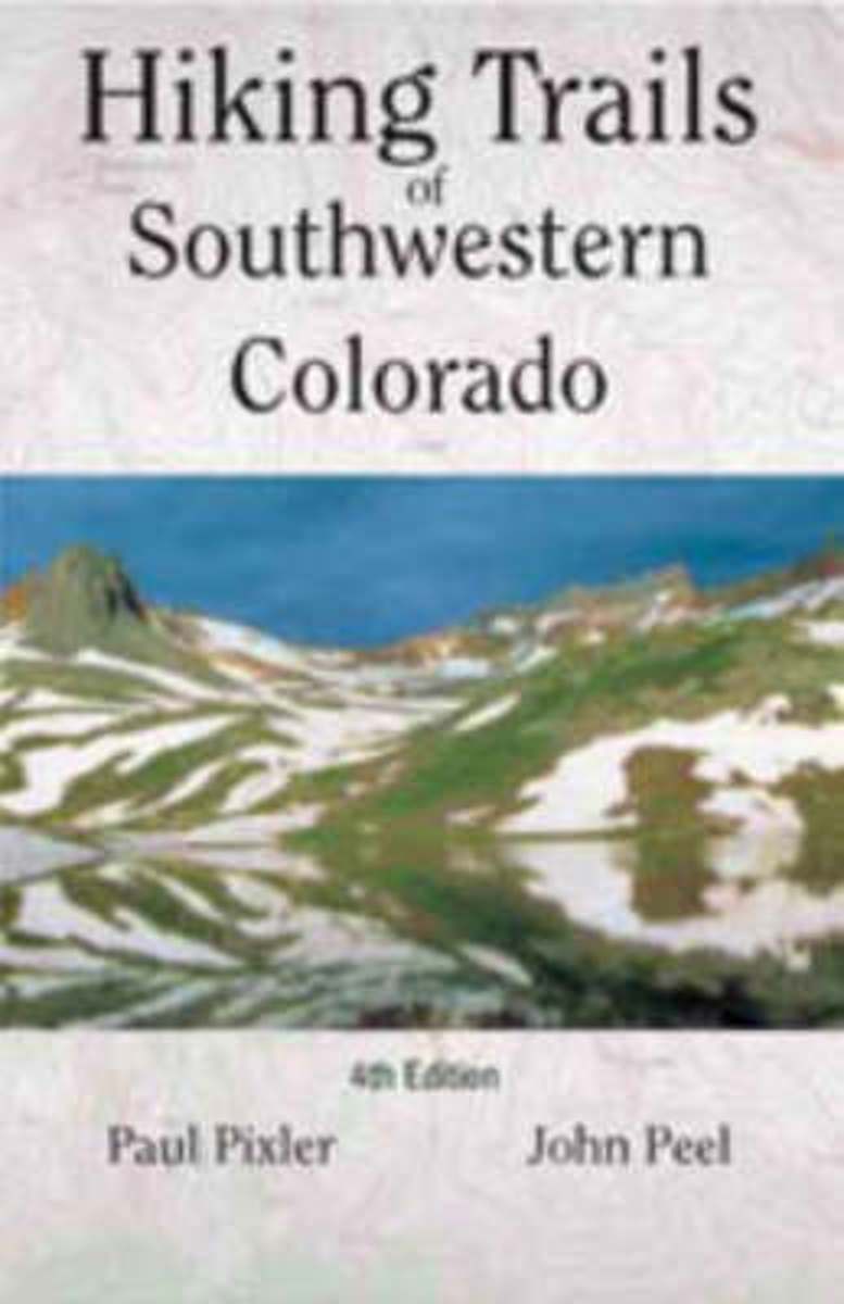
- Hiking Trails of Southwestern Colorado
- The first and second editions of this authoritative guide to Colorado's hiking paradise has been a best-seller among seasoned and beginning hikers for years.This completely revised third edition includes: seventy trips of varying length with corresponding maps, directions to conquer six of Colorado's fourteeners, and sixteen new maps providing... Read more
- Also available from:
- Bol.com, Belgium
Bol.com
Belgium
Belgium
- Hiking Trails of Southwestern Colorado
- The first and second editions of this authoritative guide to Colorado's hiking paradise has been a best-seller among seasoned and beginning hikers for years.This completely revised third edition includes: seventy trips of varying length with corresponding maps, directions to conquer six of Colorado's fourteeners, and sixteen new maps providing... Read more
Bol.com
Netherlands
Netherlands
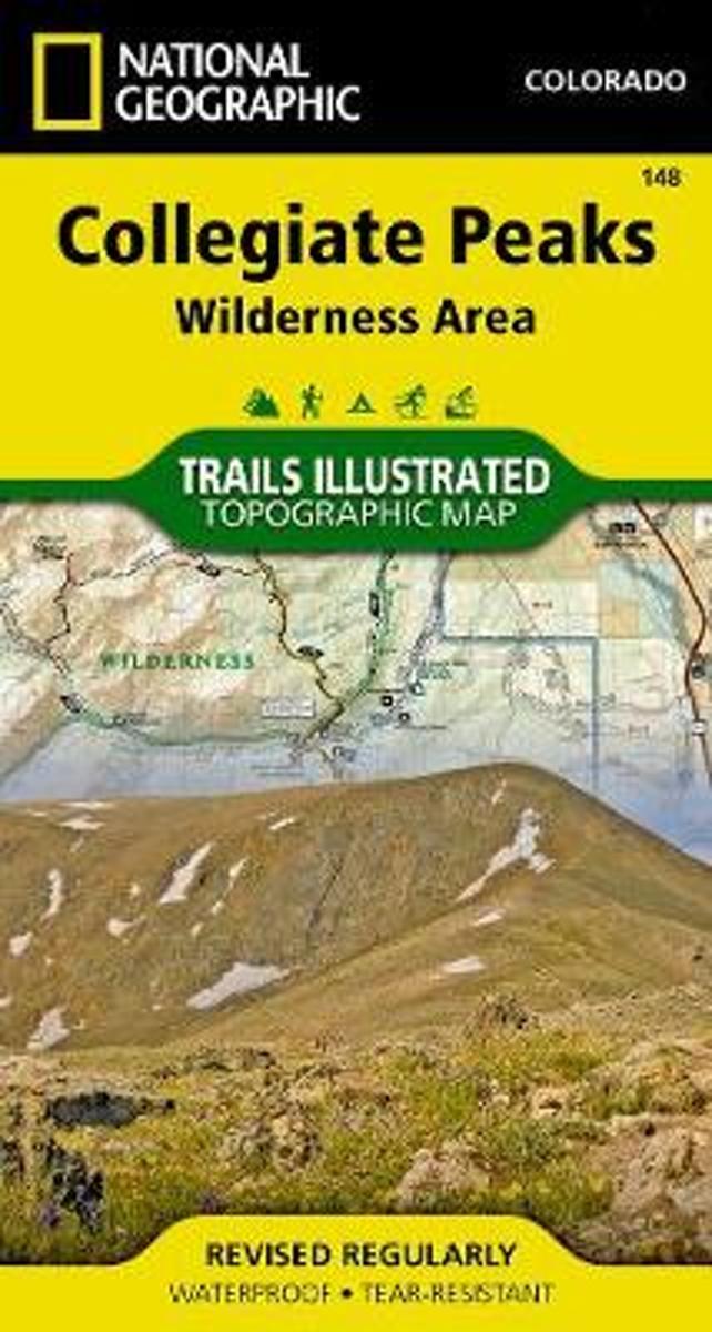
- Collegiate Peaks Wilderness
- Waterproof Tear-Resistant Topographic MapNational Geographic's Trails Illustrated map of Collegiate Peaks Wilderness is a two-sided, waterproof map designed to meet the needs of outdoor enthusiasts with unmatched durability and detail. This map was created in conjunction with local land management agencies and is loaded with valuable... Read more
- Also available from:
- Bol.com, Belgium
- Stanfords, United Kingdom
Bol.com
Belgium
Belgium
- Collegiate Peaks Wilderness
- Waterproof Tear-Resistant Topographic MapNational Geographic's Trails Illustrated map of Collegiate Peaks Wilderness is a two-sided, waterproof map designed to meet the needs of outdoor enthusiasts with unmatched durability and detail. This map was created in conjunction with local land management agencies and is loaded with valuable... Read more

Stanfords
United Kingdom
United Kingdom
- Collegiate Peaks Wilderness CO
- Map No. 148, Collegiate Peaks Wildernes, CO, in an extensive series of GPS compatible, contoured hiking maps of USA’s national and state parks or forests and other popular recreational areas. Cartography based on the national topographic survey, with additional tourist information.The maps, with most titles now printed on light, waterproof and... Read more
Bol.com
Netherlands
Netherlands
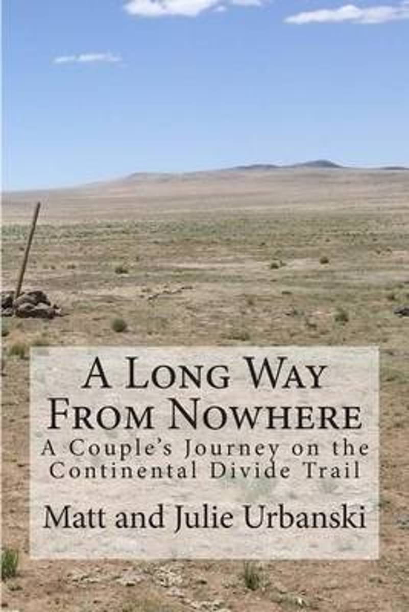
- A Long Way from Nowhere
- What is it like to hike the length of the Continental Divide Trail? For Matt and Julie, also known as Optimist and Stopwatch, life on the trail meant twenty-seven days without seeing another hiker, six bears encountered within fifteen hours, two sets of maps, a GPS, and a compass to find the trail, and both wildfires and massive flooding to add... Read more
- Also available from:
- Bol.com, Belgium
Bol.com
Belgium
Belgium
- A Long Way from Nowhere
- What is it like to hike the length of the Continental Divide Trail? For Matt and Julie, also known as Optimist and Stopwatch, life on the trail meant twenty-seven days without seeing another hiker, six bears encountered within fifteen hours, two sets of maps, a GPS, and a compass to find the trail, and both wildfires and massive flooding to add... Read more

Bol.com
Netherlands
Netherlands
- Day Hikes on the Colorado Trail
- A hike for everyone! Enjoy parts or all of the 469-mile trail through 7 national forests, 6 wilderness areas, 5 major river systems, and 8 mountain ranges. It runs from outside of Denver to Durango in south-western Colorado. Read more
- Also available from:
- Bol.com, Belgium
Bol.com
Belgium
Belgium
- Day Hikes on the Colorado Trail
- A hike for everyone! Enjoy parts or all of the 469-mile trail through 7 national forests, 6 wilderness areas, 5 major river systems, and 8 mountain ranges. It runs from outside of Denver to Durango in south-western Colorado. Read more
Bol.com
Netherlands
Netherlands
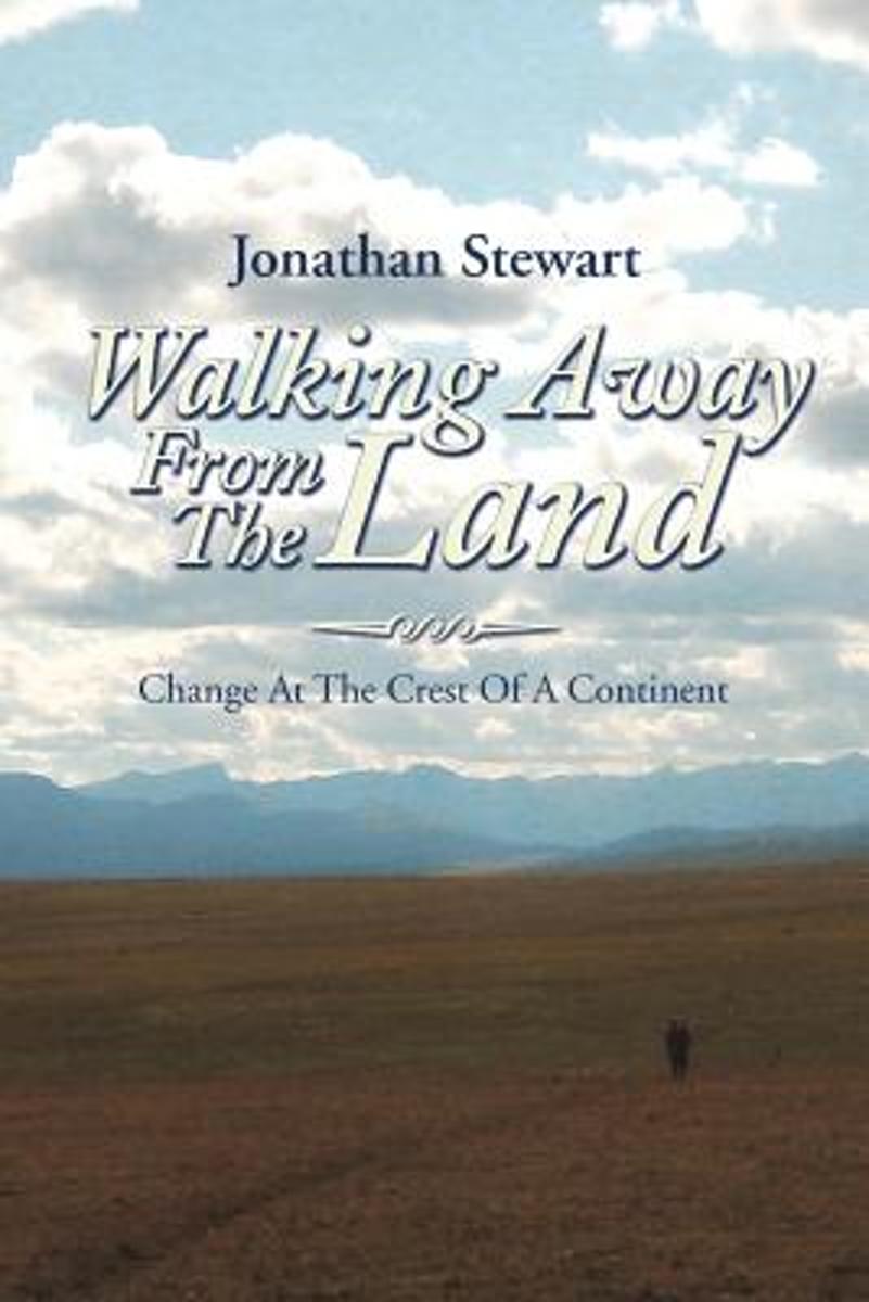
- Walking Away from the Land
- Walking Away from the Land focuses on the rapid cultural and climatic changes occurring at the crest of the North American continent. They are challenging the survival of our forests, grasslands, native wildlife, and our very civilization. This book details a three-summer Odyssey hiking the length of the Continental Divide Trail from the... Read more
- Also available from:
- Bol.com, Belgium
Bol.com
Belgium
Belgium
- Walking Away from the Land
- Walking Away from the Land focuses on the rapid cultural and climatic changes occurring at the crest of the North American continent. They are challenging the survival of our forests, grasslands, native wildlife, and our very civilization. This book details a three-summer Odyssey hiking the length of the Continental Divide Trail from the... Read more
Bol.com
Netherlands
Netherlands
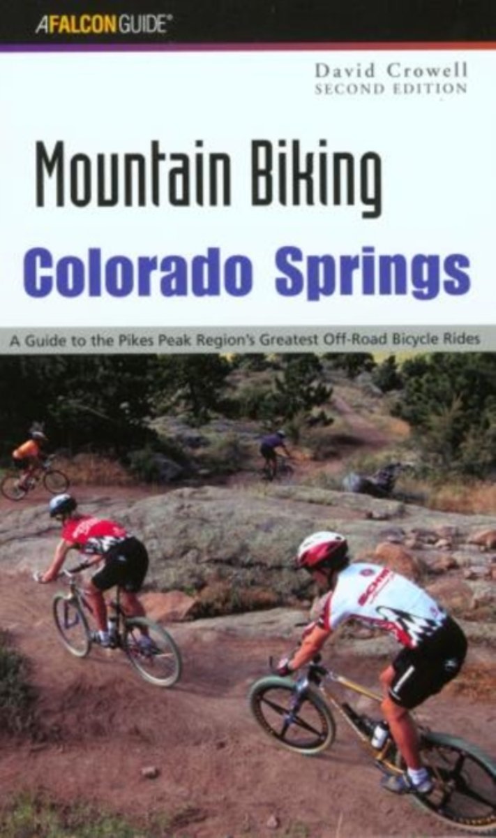
- Mountain Biking Colorado Springs
- Mountain bikers, beginner to expert, all share a common need--a place to ride. Mountain Biking Colorado Springs gives fat-tire enthusiasts the skinny on where to ride. Here are 50 of the best rides around Colorado Springs, Woodland Park, Canon City, San Isabel National Forest, and Wet Mountain Valley, ranging from easy road rides to smooth... Read more
- Also available from:
- Bol.com, Belgium
Bol.com
Belgium
Belgium
- Mountain Biking Colorado Springs
- Mountain bikers, beginner to expert, all share a common need--a place to ride. Mountain Biking Colorado Springs gives fat-tire enthusiasts the skinny on where to ride. Here are 50 of the best rides around Colorado Springs, Woodland Park, Canon City, San Isabel National Forest, and Wet Mountain Valley, ranging from easy road rides to smooth... Read more
Bol.com
Netherlands
Netherlands
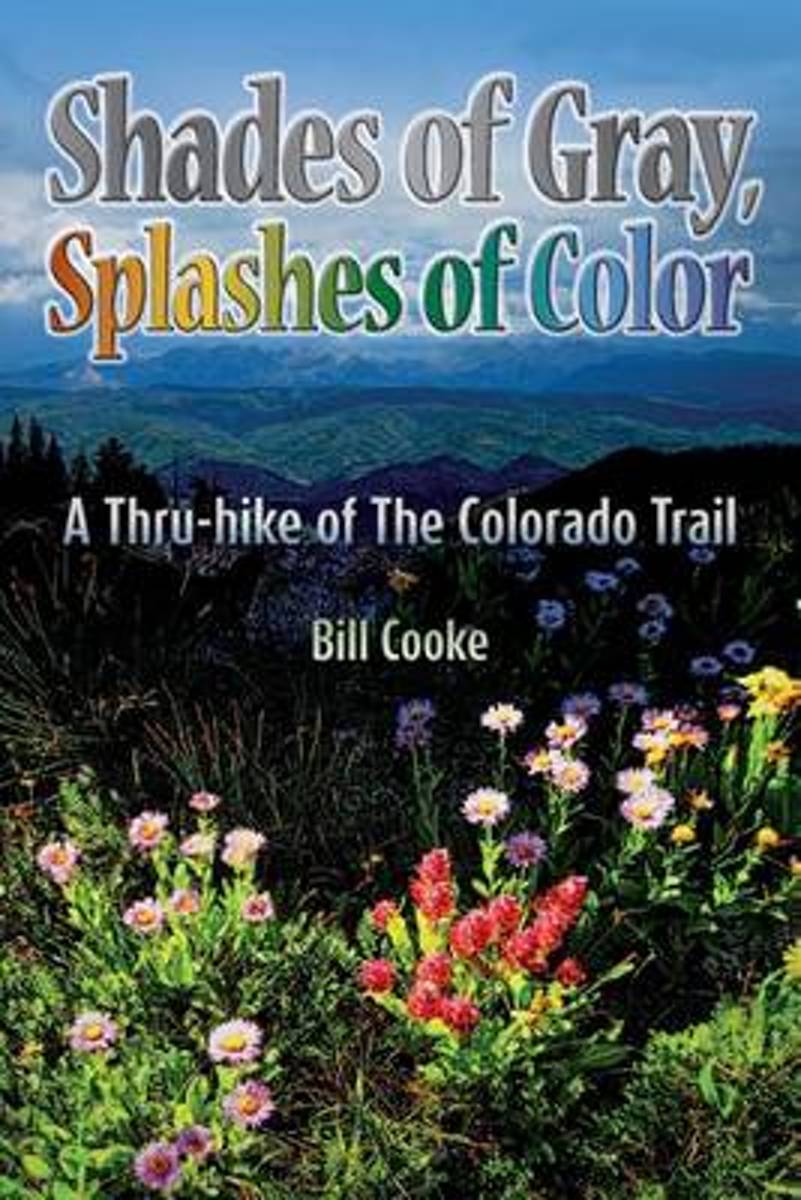
- Shades of Gray, Splashes of Color
- The Colorado Trail wends its way through the Rocky Mountains of the Centennial State, traversing a landscape as changing and diverse as the swirling afternoon clouds presaging the daily summer thunderstorms. Shades of Gray, Splashes of Color narrates Bill Cookes 2011 hike of this 486-mile trail, the length of which was a personal high for him... Read more
- Also available from:
- Bol.com, Belgium
- The Book Depository, United Kingdom
Bol.com
Belgium
Belgium
- Shades of Gray, Splashes of Color
- The Colorado Trail wends its way through the Rocky Mountains of the Centennial State, traversing a landscape as changing and diverse as the swirling afternoon clouds presaging the daily summer thunderstorms. Shades of Gray, Splashes of Color narrates Bill Cookes 2011 hike of this 486-mile trail, the length of which was a personal high for him... Read more

The Book Depository
United Kingdom
United Kingdom
- Shades of Gray, Splashes of Color
- A Thru-hike of The Colorado Trail Read more
Bol.com
Netherlands
Netherlands
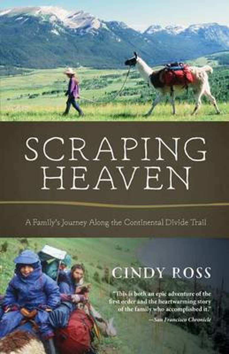
- Scraping Heaven
- More than 3,000 miles of trail by foot and mountain bikes with llamas and toddlers . . .What could go wrong? Scraping Heaven is the story of a family's adventurous trek over the rooftop of North America, a warm and heartfelt account with a powerful message for parents, long-distance hikers, and outdoor adventurers alike. The Continental Divide... Read more
- Also available from:
- Bol.com, Belgium
Bol.com
Belgium
Belgium
- Scraping Heaven
- More than 3,000 miles of trail by foot and mountain bikes with llamas and toddlers . . .What could go wrong? Scraping Heaven is the story of a family's adventurous trek over the rooftop of North America, a warm and heartfelt account with a powerful message for parents, long-distance hikers, and outdoor adventurers alike. The Continental Divide... Read more
Bol.com
Netherlands
Netherlands
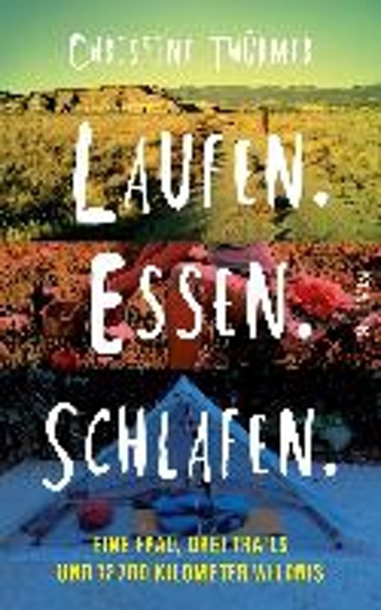
- Laufen. Essen. Schlafen.
- Als Christine Th rmer gek ndigt wird, beschlie t sie, sich eine Auszeit zu nehmen und auf dem Pacific Crest Trail von Mexiko nach Kanada zu wandern 4277 Kilometer. Eigentlich unsportlich, bricht sie zu ihrem Abenteuer auf und schafft es tats chlich bis ans Ziel. Und sie geht weiter, l uft den Continental Divide Trail und den Appalachian... Read more
- Also available from:
- Bol.com, Belgium
Bol.com
Belgium
Belgium
- Laufen. Essen. Schlafen.
- Als Christine Th rmer gek ndigt wird, beschlie t sie, sich eine Auszeit zu nehmen und auf dem Pacific Crest Trail von Mexiko nach Kanada zu wandern 4277 Kilometer. Eigentlich unsportlich, bricht sie zu ihrem Abenteuer auf und schafft es tats chlich bis ans Ziel. Und sie geht weiter, l uft den Continental Divide Trail und den Appalachian... Read more

Bol.com
Netherlands
Netherlands
- An Ultralighter's True Trail Stories
- Book two in the Journey series, this volume is filled with stories and ultralight backpacking tips from Carol "Brawny" Wellman. Trail descriptions for the Pacific Crest Trail, Appalachian Trail, John Muir Trail, Continental Divide Trail, Colorado Trail, Vermont Trail, Bartram Trail, including trail guide, plus the Foothills Trail. Learn how to... Read more
- Also available from:
- Bol.com, Belgium
Bol.com
Belgium
Belgium
- An Ultralighter's True Trail Stories
- Book two in the Journey series, this volume is filled with stories and ultralight backpacking tips from Carol "Brawny" Wellman. Trail descriptions for the Pacific Crest Trail, Appalachian Trail, John Muir Trail, Continental Divide Trail, Colorado Trail, Vermont Trail, Bartram Trail, including trail guide, plus the Foothills Trail. Learn how to... Read more
Bol.com
Netherlands
Netherlands
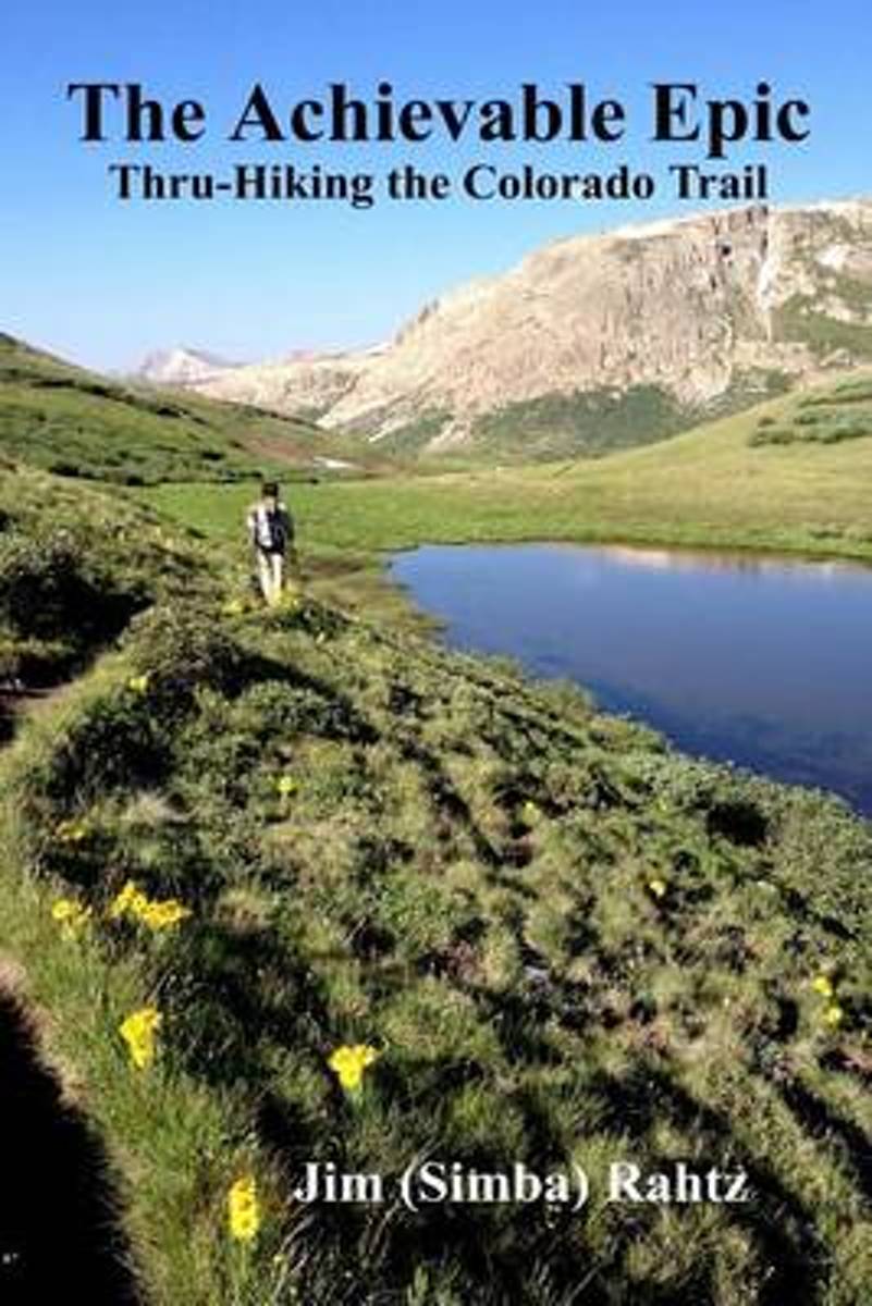
- The Achievable Epic
- Multiple Award Winner: 2015 Outdoor Writers of Ohio "Outstanding Media Achievement and Best Series of Photos."Inside many of us, there is a need, often suppressed, to accomplish something epic. For those that backpack, the dream is likely a thru-hike of the Appalachian Trail. Unfortunately, the reality is that spending six months on a hike is... Read more
- Also available from:
- Bol.com, Belgium
- The Book Depository, United Kingdom
Bol.com
Belgium
Belgium
- The Achievable Epic
- Multiple Award Winner: 2015 Outdoor Writers of Ohio "Outstanding Media Achievement and Best Series of Photos."Inside many of us, there is a need, often suppressed, to accomplish something epic. For those that backpack, the dream is likely a thru-hike of the Appalachian Trail. Unfortunately, the reality is that spending six months on a hike is... Read more

Bol.com
Netherlands
Netherlands
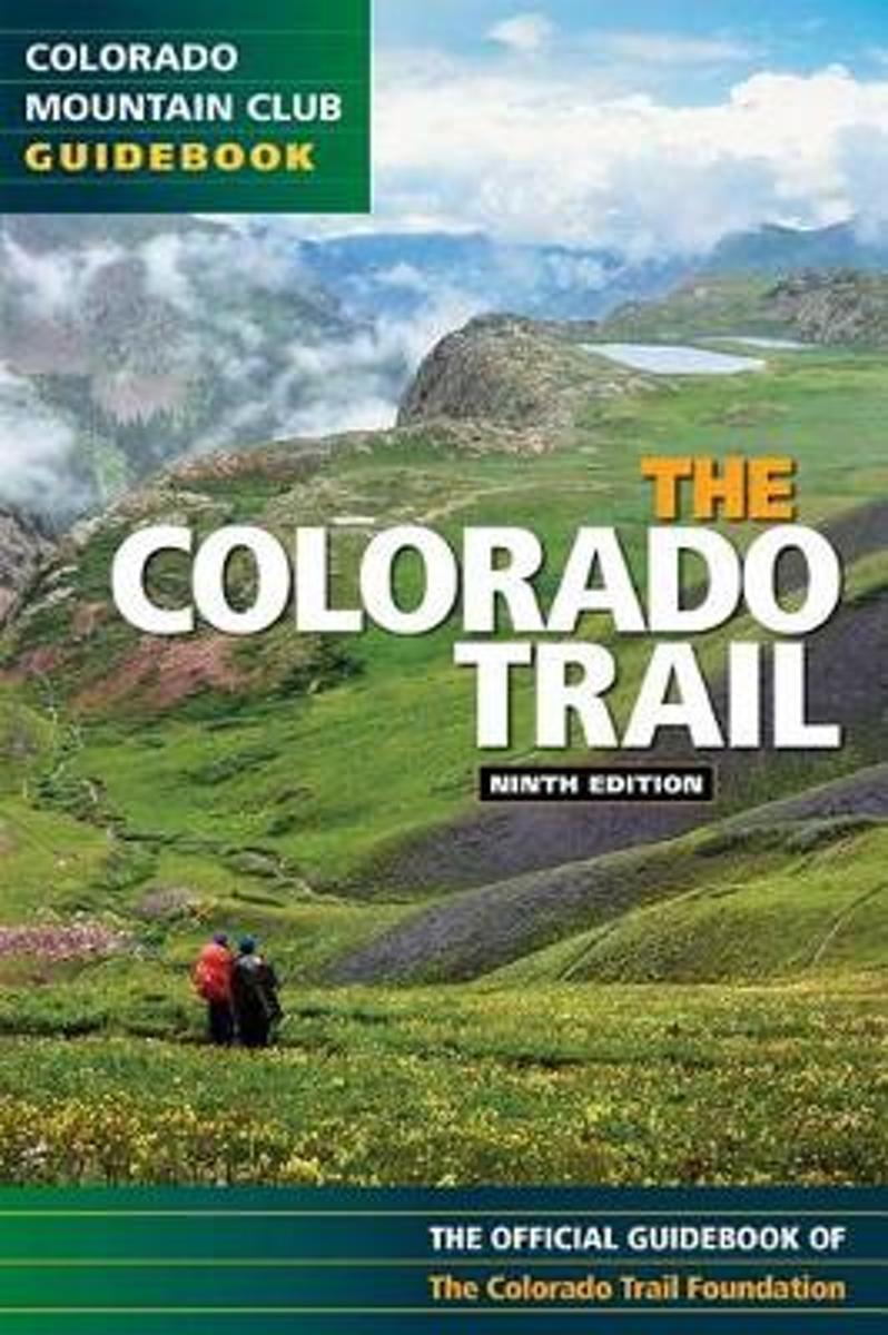
- The Colorado Trail
- Exploring all 468 miles of the Colorado Trail, this official guidebook is updated with the latest information on dozens of side trips, nearby towns, natural history, and safety considerations. Includes handy trip logs and full-color maps with GPS coordinates for each of the 28 segments. 86 color photos. Read more
- Also available from:
- Bol.com, Belgium
- The Book Depository, United Kingdom
Bol.com
Belgium
Belgium
- The Colorado Trail
- Exploring all 468 miles of the Colorado Trail, this official guidebook is updated with the latest information on dozens of side trips, nearby towns, natural history, and safety considerations. Includes handy trip logs and full-color maps with GPS coordinates for each of the 28 segments. 86 color photos. Read more


Bol.com
Netherlands
Netherlands
- Along Colorado's Continental Divide Trail
- Nature photographer John Fielder and writer M. John Fayhee combine their extraordinary talents in this stunning new coffee table book that beautifully showcases the wonders of Colorado's Continental Divide. A memorable mountain journey that readers will want to relive again and again. 175 color photos. Read more
- Also available from:
- Bol.com, Belgium
Bol.com
Belgium
Belgium
- Along Colorado's Continental Divide Trail
- Nature photographer John Fielder and writer M. John Fayhee combine their extraordinary talents in this stunning new coffee table book that beautifully showcases the wonders of Colorado's Continental Divide. A memorable mountain journey that readers will want to relive again and again. 175 color photos. Read more
Bol.com
Netherlands
Netherlands
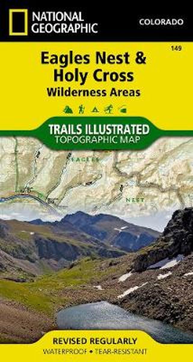
- Holy Cross/eagles Nest Wilderness
- Waterproof Tear-Resistant Topographic MapNational Geographic's Trails Illustrated map of Holy Cross and Eagles Nest Wilderness is a two-sided, waterproof map designed to meet the needs of outdoor enthusiasts with unmatched durability and detail. This map was created in conjunction with local land management agencies and is loaded with... Read more
- Also available from:
- Bol.com, Belgium
- Stanfords, United Kingdom
Bol.com
Belgium
Belgium
- Holy Cross/eagles Nest Wilderness
- Waterproof Tear-Resistant Topographic MapNational Geographic's Trails Illustrated map of Holy Cross and Eagles Nest Wilderness is a two-sided, waterproof map designed to meet the needs of outdoor enthusiasts with unmatched durability and detail. This map was created in conjunction with local land management agencies and is loaded with... Read more

Stanfords
United Kingdom
United Kingdom
- Eagles Nest and Holy Cross Wilderness Areas CO
- Map No. 149, Holy Cross - Eagles Nest Wilderness, CO, in an extensive series of GPS compatible, contoured hiking maps of USA’s national and state parks or forests and other popular recreational areas. Cartography based on the national topographic survey, with additional tourist information.The maps, with most titles now printed on light,... Read more
Bol.com
Netherlands
Netherlands
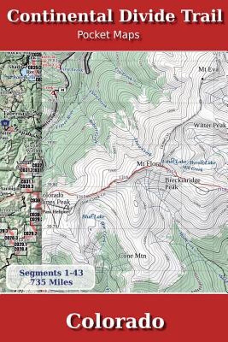
- Continental Divide Trail Pocket Maps - Colorado
- Colorado1st Edition - December 15, 2014The Continental Divide Trail Pocket Map Series is a complete and concise set of topographic maps created withdigitized base maps covering every step of the 3,016 mile trail from Mexico to Canada.The most current data available! This reflects the recently located, official CDTThe land cover, hydrology and... Read more
- Also available from:
- Bol.com, Belgium
Bol.com
Belgium
Belgium
- Continental Divide Trail Pocket Maps - Colorado
- Colorado1st Edition - December 15, 2014The Continental Divide Trail Pocket Map Series is a complete and concise set of topographic maps created withdigitized base maps covering every step of the 3,016 mile trail from Mexico to Canada.The most current data available! This reflects the recently located, official CDTThe land cover, hydrology and... Read more
Kaarten
De Zwerver
Netherlands
2024
Netherlands
2024
De Zwerver
Netherlands
2024
Netherlands
2024
De Zwerver
Netherlands
2024
Netherlands
2024
De Zwerver
Netherlands
2024
Netherlands
2024

De Zwerver
Netherlands
2024
Netherlands
2024
De Zwerver
Netherlands
2023
Netherlands
2023
De Zwerver
Netherlands
2024
Netherlands
2024
De Zwerver
Netherlands
2024
Netherlands
2024
De Zwerver
Netherlands
2024
Netherlands
2024

De Zwerver
Netherlands
Netherlands
- Wandelkaart - Topografische kaart 314 Many Glacier - Glacier and Waterton Lakes National Parks | National Geographic
- Prachtige geplastificeerde kaart van het bekende nationaal park. Met alle recreatieve voorzieningen als campsites, maar ook met topografische details en wandelroutes ed. Door uitgekiend kleurgebruik zeer prettig in gebruik. Scheur en watervast! Located just north of Kalispell in Montana's northwest corner, Glacier National contains an... Read more
- Also available from:
- Bol.com, Netherlands
- Bol.com, Belgium
- Stanfords, United Kingdom

Bol.com
Netherlands
Netherlands
- Many Glacier, Glacier National Park
- Waterproof Tear-Resistant Topographic MapLocated just north of Kalispell in Montana's northwest corner, Glacier National contains an abundance of recreational opportunities for outdoor enthusiasts of all interests.This detailed topographic recreation map contains carefully researched trails, campsites, forest service roads, and... Read more
Bol.com
Belgium
Belgium
- Many Glacier, Glacier National Park
- Waterproof Tear-Resistant Topographic MapLocated just north of Kalispell in Montana's northwest corner, Glacier National contains an abundance of recreational opportunities for outdoor enthusiasts of all interests.This detailed topographic recreation map contains carefully researched trails, campsites, forest service roads, and... Read more

Stanfords
United Kingdom
United Kingdom
- Many Glacier - Glacier and Waterton Lakes National Parks MT
- Map No. 313, Glacier National Park: North Fork, MT, in an extensive series of GPS compatible, contoured hiking maps of USA’s national and state parks or forests and other popular recreational areas. Cartography based on the national topographic survey, with additional tourist information.The maps, with most titles now printed on light,... Read more

De Zwerver
Netherlands
Netherlands
- Wandelkaart - Topografische kaart 141 Telluride, Silverton, Ouray, Lake City | National Geographic
- Prachtige geplastificeerde kaart van het bekende nationaal park. Met alle recreatieve voorzieningen als campsites, maar ook met topografische details en wandelroutes ed. Door uitgekiend kleurgebruik zeer prettig in gebruik. Scheur en watervast! Beautiful waterproof and tear-resistant topographical hiking map of a well-loved National Park, with... Read more
- Also available from:
- Bol.com, Netherlands
- Bol.com, Belgium
- Stanfords, United Kingdom
- The Book Depository, United Kingdom

Bol.com
Netherlands
Netherlands
- Telluride/silverton/ouray/lake City
- Waterproof Tear-Resistant Topographic MapExpertly researched and created in partnership with local land management agencies, National Geographic's Trails Illustrated map of Telluride, Silverton, Ouray, and Lake City provides an unparalleled tool for exploring this breathtaking region of Colorado. Whatever the season, you'll find this map... Read more
Bol.com
Belgium
Belgium
- Telluride/silverton/ouray/lake City
- Waterproof Tear-Resistant Topographic MapExpertly researched and created in partnership with local land management agencies, National Geographic's Trails Illustrated map of Telluride, Silverton, Ouray, and Lake City provides an unparalleled tool for exploring this breathtaking region of Colorado. Whatever the season, you'll find this map... Read more

Stanfords
United Kingdom
United Kingdom
- Telluride - Silverton - Ouray - Lake City CO
- Map No. 141, Telluride - Silverton - Ouray - Lake City, CO, in an extensive series of GPS compatible, contoured hiking maps of USA’s national and state parks or forests and other popular recreational areas. Cartography based on the national topographic survey, with additional tourist information.The maps, with most titles now printed on light,... Read more


De Zwerver
Netherlands
Netherlands
- Wandelkaart - Topografische kaart 215 Glacier - Waterton Lakes National Park | National Geographic
- Prachtige geplastificeerde kaart van het bekende nationaal park. Met alle recreatieve voorzieningen als campsites, maar ook met topografische details en wandelroutes ed. Door uitgekiend kleurgebruik zeer prettig in gebruik. Scheur en watervast! Waterton Lakes National Park, Canada includes Waterton Park, Upper and Middle Waterton Lakes, The... Read more
- Also available from:
- Bol.com, Netherlands
- Bol.com, Belgium
- Stanfords, United Kingdom

Bol.com
Netherlands
Netherlands
- Glacier/waterton Lakes National Parks
- Waterproof Tear-Resistant Topographic MapNational Geographic's Trails Illustrated map of Glacier and Waterton Lakes National Parks offers unparalleled detail for outdoor enthusiasts exploring the pristine landscape of forests, mountains, lakes, and meadows within these two spectacular parks. Created in partnership with local land... Read more
Bol.com
Belgium
Belgium
- Glacier/waterton Lakes National Parks
- Waterproof Tear-Resistant Topographic MapNational Geographic's Trails Illustrated map of Glacier and Waterton Lakes National Parks offers unparalleled detail for outdoor enthusiasts exploring the pristine landscape of forests, mountains, lakes, and meadows within these two spectacular parks. Created in partnership with local land... Read more

Stanfords
United Kingdom
United Kingdom
- Glacier - Waterton Lakes National Park MT
- Map No. 215, Glacier/Waterton Lakes National Park, MT, in an extensive series of GPS compatible, contoured hiking maps of USA’s national and state parks or forests and other popular recreational areas. Cartography based on the national topographic survey, with additional tourist information.The maps, with most titles now printed on light,... Read more
Bol.com
Netherlands
Netherlands
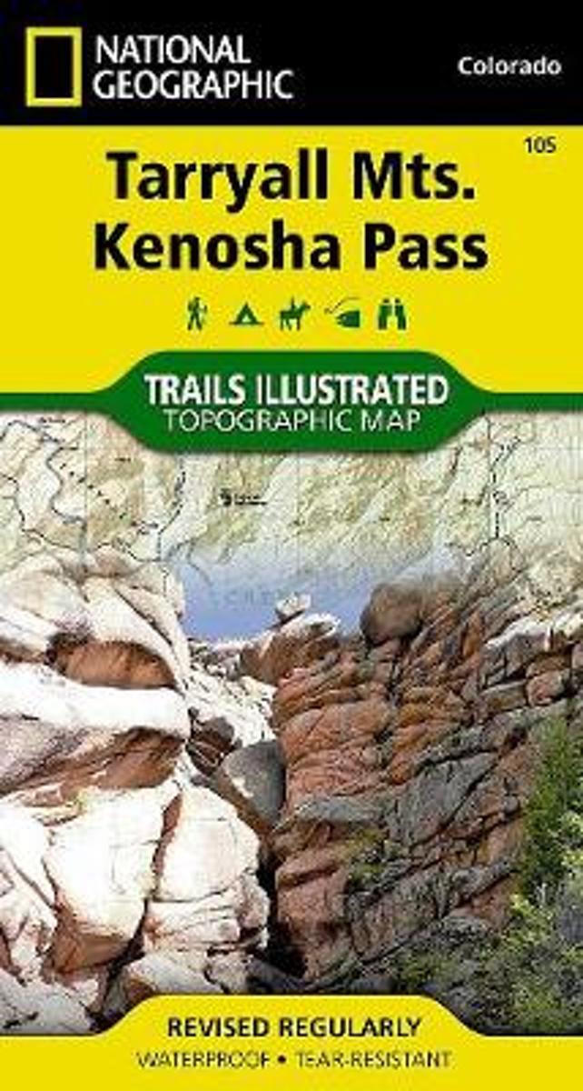
- Tarryall Mountains
- Coverage includes Pike National Forest, Lost Creek Wilderness, Pine, Bailey and Jefferson. Also includes the Kenosha, Bison, Stoney and Hankins passes, Tarryall Reservoir, the North Fork of South Platte and Wellington Lake, and a segment of the Colorado Trail. Includes UTM grids for use with your GPS unit. Read more
- Also available from:
- Bol.com, Belgium
- Stanfords, United Kingdom
- The Book Depository, United Kingdom
Bol.com
Belgium
Belgium
- Tarryall Mountains
- Coverage includes Pike National Forest, Lost Creek Wilderness, Pine, Bailey and Jefferson. Also includes the Kenosha, Bison, Stoney and Hankins passes, Tarryall Reservoir, the North Fork of South Platte and Wellington Lake, and a segment of the Colorado Trail. Includes UTM grids for use with your GPS unit. Read more

Stanfords
United Kingdom
United Kingdom
- Tarryall Mountains CO NGS Trails Illustrated Map 105
- Map No. 105, Tarryall Mountains in Colorado, at 1:40,680 in an extensive series of GPS compatible, contoured hiking maps of USA’s national and state parks or forests and other popular recreational areas. Cartography based on the national topographic survey, with additional tourist information.The maps, with most titles now printed on light,... Read more


Stanfords
United Kingdom
United Kingdom
- Balaguer - el Monestir d`Avellanes - Camarasa - Ribera de Sió
- Topographic survey of Catalonia at 1:25,000 from the Institut Cartogràfic i Geològic de Catalunya, an attractive alternative to Spain’s national topographic survey at this scale, offering a much larger area per sheet with extensive tourist information and vivid presentation of vegetation and land use.These large, detailed maps have contours at... Read more
Stanfords
United Kingdom
United Kingdom
- Lleida - Pla de Raimat
- Topographic survey of Catalonia at 1:25,000 from the Institut Cartogràfic i Geològic de Catalunya, an attractive alternative to Spain’s national topographic survey at this scale, offering a much larger area per sheet with extensive tourist information and vivid presentation of vegetation and land use.These large, detailed maps have contours at... Read more