
Stanislaus National Forest
Beschrijving
Paden in deze regio
Links
Feiten
Verslagen
Gidsen en kaarten
Overnachting
Organisaties
Reisorganisaties
GPS
Anders
Boeken
Bol.com
Netherlands
Netherlands
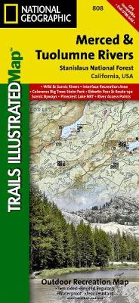
- Merced And Tuolumne Rivers/stanislaus National Forest
- Waterproof Tear-Resistant Topographic MapTrails Illustrated Merced and Tuolumne Rivers is the third of five exciting new maps for the California Sierra Nevadas that will combine to form seamless coverage of the high-use National Forest areas between Sequoia / Kings Canyon National Parks and Lake Tahoe. This region contains some of the... Read more
- Also available from:
- Bol.com, Belgium
- Stanfords, United Kingdom
Bol.com
Belgium
Belgium
- Merced And Tuolumne Rivers/stanislaus National Forest
- Waterproof Tear-Resistant Topographic MapTrails Illustrated Merced and Tuolumne Rivers is the third of five exciting new maps for the California Sierra Nevadas that will combine to form seamless coverage of the high-use National Forest areas between Sequoia / Kings Canyon National Parks and Lake Tahoe. This region contains some of the... Read more

Stanfords
United Kingdom
United Kingdom
- Merced and Tuolumne Rivers - Stanislaus National Forest CA
- Map No. 808, Merced and Tuolumne Rivers / Stanislaus National Forest, CA, in an extensive series of GPS compatible, contoured hiking maps of USA’s national and state parks or forests and other popular recreational areas. Cartography based on the national topographic survey, with additional tourist information.The maps, with most titles now... Read more
Bol.com
Netherlands
Netherlands
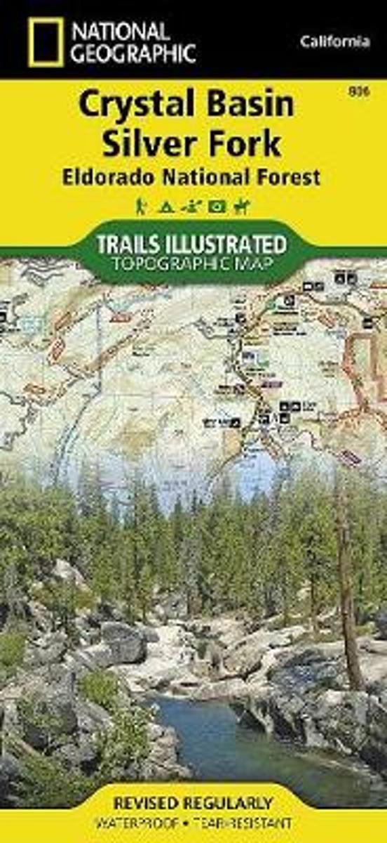
- Crystal Basin/silver Fork/eldorado National Forest
- Waterproof Tear-Resistant Topographic MapPart of our exciting new coverage for California's Central Sierra Nevada, our Crystal Basin and Silver Fork Trails Illustrated map details the high use recreation areas of Eldorado National Forest stretching from Hell Hole Reservoir and Tahoe National Forest at the North, to Salt Springs Reservoir... Read more
- Also available from:
- Bol.com, Belgium
- Stanfords, United Kingdom
- The Book Depository, United Kingdom
Bol.com
Belgium
Belgium
- Crystal Basin/silver Fork/eldorado National Forest
- Waterproof Tear-Resistant Topographic MapPart of our exciting new coverage for California's Central Sierra Nevada, our Crystal Basin and Silver Fork Trails Illustrated map details the high use recreation areas of Eldorado National Forest stretching from Hell Hole Reservoir and Tahoe National Forest at the North, to Salt Springs Reservoir... Read more

Stanfords
United Kingdom
United Kingdom
- Crystal Basin - Silver Fork - Eldorado National Forest CA
- Map No. 806, Crystal Basin / Silver Fork / Eldorado National Forest, CA, in an extensive series of GPS compatible, contoured hiking maps of USA’s national and state parks or forests and other popular recreational areas. Cartography based on the national topographic survey, with additional tourist information.The maps, with most titles now... Read more

The Book Depository
United Kingdom
United Kingdom
- Crystal Basin/silver Fork/eldorado National Forest
- Trails Illustrated Other Rec. Areas Read more
Kaarten
De Zwerver
Netherlands
Netherlands
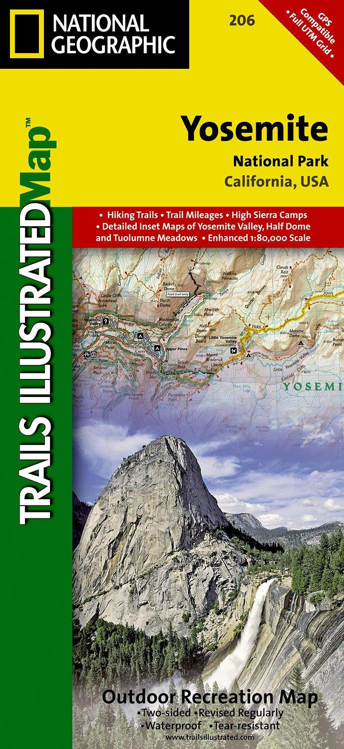
- Wandelkaart - Topografische kaart 206 Yosemite National Park | National Geographic
- Prachtige geplastificeerde kaart van het bekende nationaal park. Met alle recreatieve voorzieningen als campsites, maar ook met topografische details en wandelroutes ed. Door uitgekiend kleurgebruik zeer prettig in gebruik. Scheur en watervast! Coverage includes Stanislaus National Forest, Emigrant Wilderness, Carson Iceberg Wilderness, Toiyabe... Read more
- Also available from:
- Bol.com, Netherlands
- Bol.com, Belgium
- Stanfords, United Kingdom
- The Book Depository, United Kingdom
Bol.com
Netherlands
Netherlands
- Yosemite National Park
- Waterproof Tear-Resistant Topographic MapExplore the majesty of Yosemite National Park with National Geographic's Trails Illustrated map. Loaded with helpful information on camping, hiking, lodging, transportation, regulations, and safety, this map is an invaluable tool for casual park visitors and avid adventurers alike. Expertly... Read more
Bol.com
Belgium
Belgium
- Yosemite National Park
- Waterproof Tear-Resistant Topographic MapExplore the majesty of Yosemite National Park with National Geographic's Trails Illustrated map. Loaded with helpful information on camping, hiking, lodging, transportation, regulations, and safety, this map is an invaluable tool for casual park visitors and avid adventurers alike. Expertly... Read more

Stanfords
United Kingdom
United Kingdom
- Yosemite National Park CA NGS Trails Illustrated Map 206
- Map No. 206, Yosemite National Park, CA, in an extensive series of GPS compatible, contoured hiking maps of USA’s national and state parks or forests and other popular recreational areas. Cartography based on the national topographic survey, with additional tourist information.The maps, with most titles now printed on light, waterproof and... Read more
