
Maine
Beschrijving
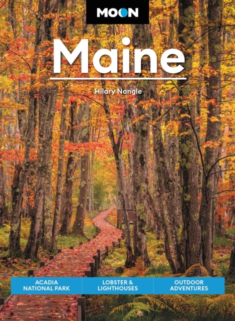
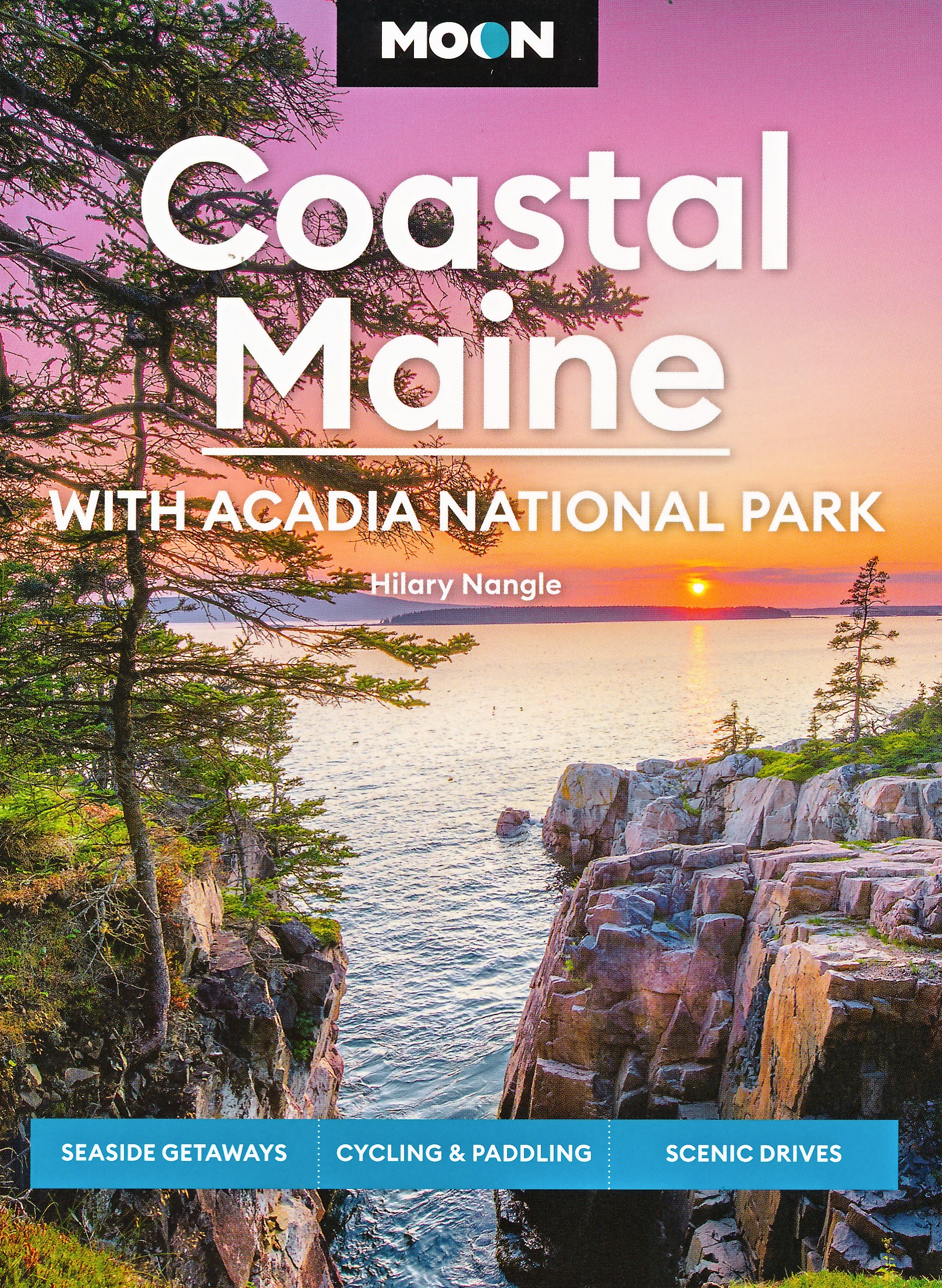
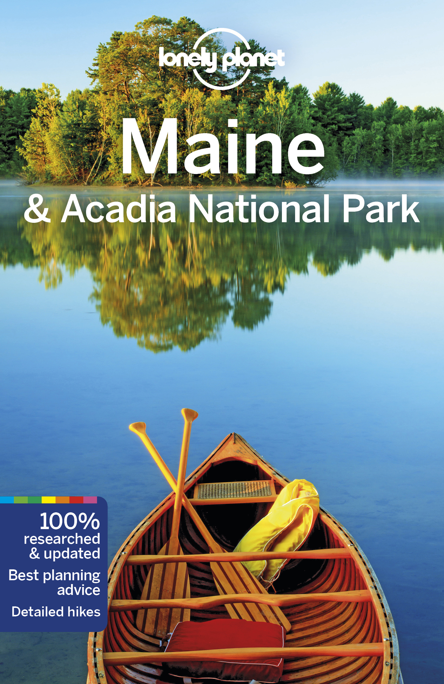
Maine borders on Canada and the Atlantic Ocean. A substantial portion of this New England state remains relatively wild and undeveloped.
Maine hosts 274 miles of the Appalachian Trail, and also parts of the East Coast Greenway and the Eastern Continental Trail.
The coastal region is represented in the Acadia National Park. The Baxter State Park up north, trailhead of the Appalachian Trail, is a true wilderness area.
Kaart

Paden in deze landsdeel
Links
Feiten
Verslagen
Gidsen en kaarten
Overnachting
Organisaties
Reisorganisaties
GPS
Anders
Boeken


De Zwerver
Netherlands
2022
Netherlands
2022
- Reisgids New England | Rough Guides
- Practical travel guide to New England with a free eBook featuring points-of-interest structured lists of all sights and off-the-beaten-track treasures, with detailed colour-coded maps, practical details about what to see and to do in New England, how to get there and around, pre-departure information, as well as top time-saving tips, like a... Read more
- Also available from:
- Stanfords, United Kingdom

Stanfords
United Kingdom
2022
United Kingdom
2022
- The Rough Guide to New England (Compact Guide with Free eBook)
- Practical travel guide to New England with a free eBook featuring points-of-interest structured lists of all sights and off-the-beaten-track treasures, with detailed colour-coded maps, practical details about what to see and to do in New England, how to get there and around, pre-departure information, as well as top time-saving tips, like a... Read more
De Zwerver
Netherlands
2015
Netherlands
2015
- Wandelgids PN21 Le Parc naturel régional Normandie-Maine... à pied | FFRP
- Franstalige wandelgids met een beschrijving van een aantal dagtochten. Uitstekende beschrijvingen met duidelijk kaartmateriaal. Mislopen is nauwelijks mogelijk, maar ja .. de franse taal! Ook praktische informatie staat in deze gids. Alle gidsen bevatten een door ons toegevoegde uitgebreide frans - nederlandse wandelwoordenlijst. Aiguille de... Read more
- Also available from:
- Stanfords, United Kingdom

Stanfords
United Kingdom
2015
United Kingdom
2015
- Le parc naturel régional Normandie Maine à pied FFRP Topo-guide No. PN21
- Le parc naturel régional Normandie Maine à pied, FFRP topo-guide Ref. No. PN21, with 33 day walks of varying length and difficulty in the park. Each walk is presented on a separate colour extract from IGN’s topographic survey of France at 1:25,000, with its description cross-referenced to the map. Current edition of this title was published in... Read more
De Zwerver
Netherlands
2009
Netherlands
2009
- Reisgids Insiders' Guide Portland, Maine | Globe Pequot
- This exclusive travel guide guides the visitor through the most incredible activities to be found in Shanghai: savour the food of world-class chefs in Asia's most romantic two-seater salon; eat at the best holes-in-the-walls and discover local street food haunts; find the best tailors and quality cashmere, satins and brocades by the yard;... Read more

De Zwerver
Netherlands
Netherlands
De Zwerver
Netherlands
2014
Netherlands
2014
- Wandelgids P355 Les Portes de Bretagne... à pied | FFRP
- Uitstekende wandelgids met gedetailleerde kaarten en een routebeschrijving. Fout lopen wordt op deze manier wel erg moeilijk. Met symbolen is weergegeven welke voorzieningen (openbaar vervoer / winkels / overnachtingen) er zijn langs of bij de route. Een nadeel is dat de daadwerkelijke adressen dan weer niet altijd genoemd worden. Alle gidsen... Read more
- Also available from:
- Stanfords, United Kingdom

Stanfords
United Kingdom
2014
United Kingdom
2014
- Les Portes de Bretagne à pied FFRP Topo-guide No. 355
- Les Portes de Bretagne à pied, FFRP topo-guide Ref. No. P355, with 43 walks of varying length and difficulty in the department of ’Ille-et-Vilaine east of Rennes. Current edition of this title was published in August 2014.To see the list of other FFRP guides with day walks please click on the series link.ABOUT THE FFRP (Fédération française de... Read more

De Zwerver
Netherlands
2018
Netherlands
2018
- Wandelgids USA: Appalachian Trail | Conrad Stein Verlag
- Handzame overzichtsgids van deze geweldige en uitdagende lange afstands wandeling in het oosten van de USA: de Appalachian Trail. Het is een ideale gids om de hele tocht voor te bereiden en als basisgids bij je te hebben. Goede beschrijvingen van etappes en veel praktische informatie. Het enige wat mager is zijn dekaarten: goed voor overzicht... Read more
Bol.com
Netherlands
Netherlands
- On Trails
- A strikingly original debut from a tremendous new talent, Robert Moor explores how trails help us understand the world, from the biological phenomenon of how ant trails are formed to hiking paths that span continents and oceans, from migration routes to the Internet.In 2009, while thru-hiking the Appalachian Trail, Robert Moor began to wonder... Read more
- Also available from:
- Bol.com, Belgium
Bol.com
Belgium
Belgium
- On Trails
- A strikingly original debut from a tremendous new talent, Robert Moor explores how trails help us understand the world, from the biological phenomenon of how ant trails are formed to hiking paths that span continents and oceans, from migration routes to the Internet.In 2009, while thru-hiking the Appalachian Trail, Robert Moor began to wonder... Read more
Bol.com
Netherlands
Netherlands
- The Appalachian Trail
- The only illustrated book officially published with the Appalachian Trail Conservancy, The Appalachian Trail explores this legendary footpath in detail: with a foreword by Bill Bryson and filled with more than 300 spectacular contemporary images, as well as unpublished historical photos, documents, and maps from the ATC archives. Once inspired... Read more
- Also available from:
- Bol.com, Belgium
- The Book Depository, United Kingdom
Bol.com
Belgium
Belgium
- The Appalachian Trail
- The only illustrated book officially published with the Appalachian Trail Conservancy, The Appalachian Trail explores this legendary footpath in detail: with a foreword by Bill Bryson and filled with more than 300 spectacular contemporary images, as well as unpublished historical photos, documents, and maps from the ATC archives. Once inspired... Read more

Bol.com
Netherlands
Netherlands
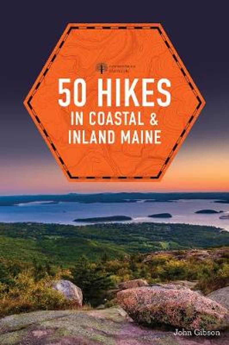
- 50 Hikes in Coastal and Inland Maine
- Locals and visitors to Maine s beautiful coastline will find miles of satisfying hiking, with outings that range from short walks for families to all-day excursions for serious hikers. Each hike in this guide includes a topographic map, information on difficulty, mileage, and elevation, and a detailed description of the route. An overview chart... Read more
- Also available from:
- Bol.com, Belgium
Bol.com
Belgium
Belgium
- 50 Hikes in Coastal and Inland Maine
- Locals and visitors to Maine s beautiful coastline will find miles of satisfying hiking, with outings that range from short walks for families to all-day excursions for serious hikers. Each hike in this guide includes a topographic map, information on difficulty, mileage, and elevation, and a detailed description of the route. An overview chart... Read more

Bol.com
Netherlands
Netherlands
- New England
- This fully revised and updated third edition of "The Rough Guide to New England" uncovers one of America's most popular and historic regions, from the colonial villages of Vermont to the ski slopes of New Hampshire and the chic restaurants of Boston. There is informed coverage on where to hike, ski, bike, camp and explore the outdoors, from the... Read more
- Also available from:
- Bol.com, Belgium
Bol.com
Belgium
Belgium
- New England
- This fully revised and updated third edition of "The Rough Guide to New England" uncovers one of America's most popular and historic regions, from the colonial villages of Vermont to the ski slopes of New Hampshire and the chic restaurants of Boston. There is informed coverage on where to hike, ski, bike, camp and explore the outdoors, from the... Read more
Bol.com
Netherlands
Netherlands
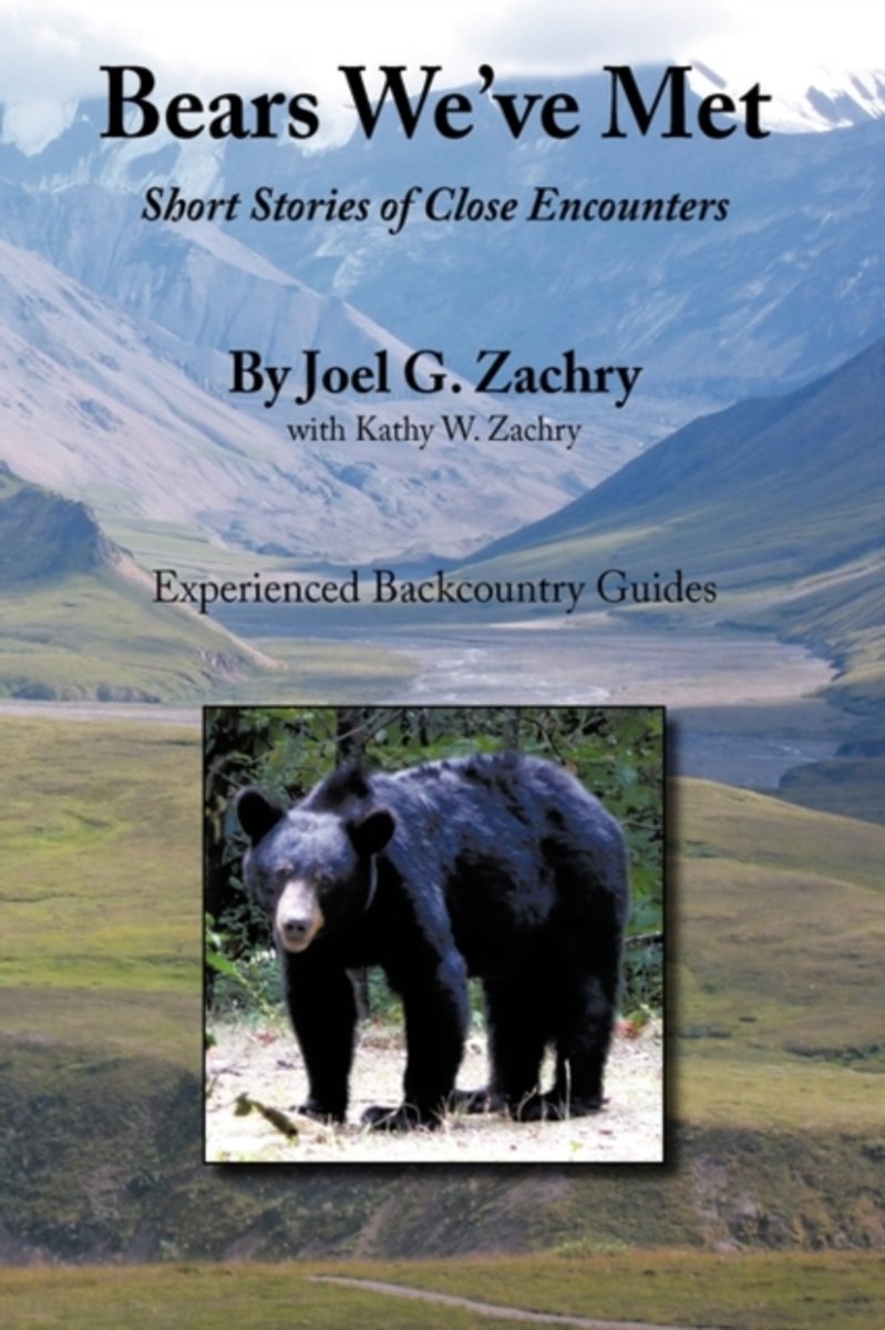
- Bears We've Met
- Bears We've Met is a compelling narrative of short stories of close encounters with bears spanning more than thirty years of the author's experiences in North America's remote regions. In this documentary the author shares early blunders and tense moments, including humorous and intriguing confrontations, as he and his wife confront the largest... Read more
- Also available from:
- Bol.com, Belgium
Bol.com
Belgium
Belgium
- Bears We've Met
- Bears We've Met is a compelling narrative of short stories of close encounters with bears spanning more than thirty years of the author's experiences in North America's remote regions. In this documentary the author shares early blunders and tense moments, including humorous and intriguing confrontations, as he and his wife confront the largest... Read more
Kaarten
De Zwerver
Netherlands
Netherlands
De Zwerver
Netherlands
Netherlands
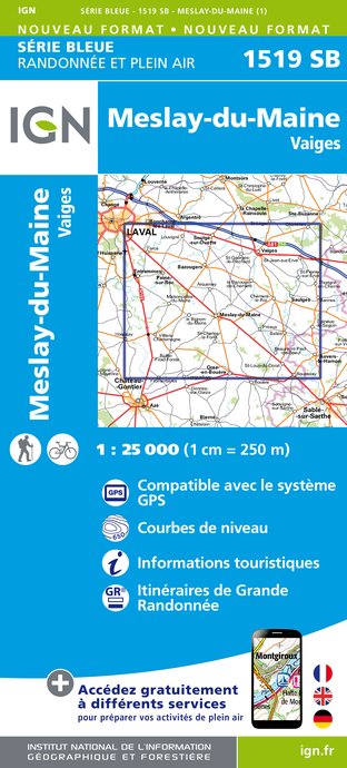
- Wandelkaart - Topografische kaart 1519SB Meslay-du-Maine, Vaiges | IGN - Institut Géographique National
- Topographic survey of France at 1:25,000 in IGN's excellent TOP25 / S Read more
- Also available from:
- Stanfords, United Kingdom

Stanfords
United Kingdom
United Kingdom
- Mesley-du-Maine - Vaiges IGN 25K Série Bleue Map 1519SB
- Topographic survey of France at 1:25,000 in IGN`s excellent TOP25 / Série Bleue series. All the maps are GPS compatible, with a 1km UTM grid plus latitude and longitude lines at 5’ intervals. Contours are at 5m intervals except for mountainous areas where the maps have contours at 10m intervals, vividly enhanced by hill shading and graphics for... Read more
De Zwerver
Netherlands
Netherlands
- Also available from:
- Stanfords, United Kingdom

Stanfords
United Kingdom
United Kingdom
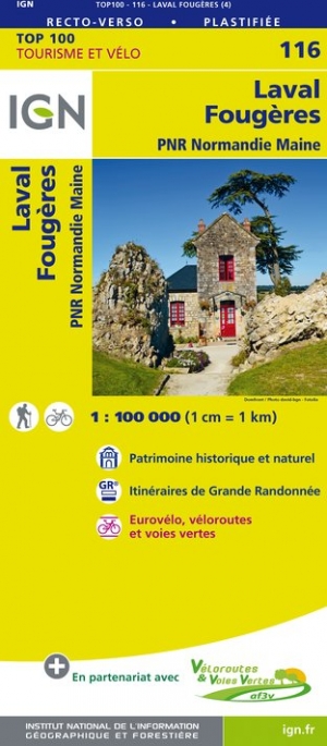
- Laval - Fougeres - PNR Normandie Maine IGN TOP100 116
- Discover the new double-sided laminated edition of TOP100 road maps of France from the Institut Géographique National (IGN); exceptionally detailed, contoured road maps which include the cycle paths and greenways of the AF3V (French Association for the Development of Cycle Paths and Greenways), ideal for exploring the French countryside by car,... Read more

Bol.com
Netherlands
Netherlands
- Springer & Cohutta Mountains, Chattahoochee National Forest
- Waterproof Tear-Resistant Topographic MapLocated just north of Atlanta, the Chattahoochee National Forest contains the southern terminus of the Appalachian Trail along with an abundance of recreational opportunities for outdoor enthusiasts of all interests.This detailed recreation map contains carefully researched trails, campsites,... Read more
- Also available from:
- Bol.com, Belgium
- Stanfords, United Kingdom
Bol.com
Belgium
Belgium
- Springer & Cohutta Mountains, Chattahoochee National Forest
- Waterproof Tear-Resistant Topographic MapLocated just north of Atlanta, the Chattahoochee National Forest contains the southern terminus of the Appalachian Trail along with an abundance of recreational opportunities for outdoor enthusiasts of all interests.This detailed recreation map contains carefully researched trails, campsites,... Read more

Stanfords
United Kingdom
United Kingdom
- Chattahoochee National Forest - Springer and Cohutta Mountains GA/SC 777
- Map No. 777, Chattahoochee National Forest: Springer and Cohutta Mountains, GA/SC, in an extensive series of GPS compatible, contoured hiking maps of USA’s national and state parks or forests and other popular recreational areas. Cartography based on the national topographic survey, with additional tourist information.The maps, with most titles... Read more

De Zwerver
Netherlands
Netherlands
- Wandelkaart - Topografische kaart 318 Mount Rogers High Country - Grayson Highlands State Park | National Geographic
- Prachtige geplastificeerde kaart van het bekende nationaal park. Met alle recreatieve voorzieningen als campsites, maar ook met topografische details en wandelroutes ed. Door uitgekiend kleurgebruik zeer prettig in gebruik. Scheur en watervast! National Geographic's Trails Illustrated map of Mount Rogers High Country and Grayson Highlands... Read more
- Also available from:
- Bol.com, Netherlands
- Bol.com, Belgium
- Stanfords, United Kingdom
- The Book Depository, United Kingdom

Bol.com
Netherlands
Netherlands
- Mount Rogers High Country
- Waterproof Tear-Resistant Topographic MapNational Geographic's Trails Illustrated map of Mount Rogers High Country and Grayson Highlands State Park, Southwest Virginia, is a two-sided, waterproof, topographic trail map designed to meet the needs of outdoor enthusiasts with unmatched durability and detail. This map was created in... Read more
Bol.com
Belgium
Belgium
- Mount Rogers High Country
- Waterproof Tear-Resistant Topographic MapNational Geographic's Trails Illustrated map of Mount Rogers High Country and Grayson Highlands State Park, Southwest Virginia, is a two-sided, waterproof, topographic trail map designed to meet the needs of outdoor enthusiasts with unmatched durability and detail. This map was created in... Read more

Stanfords
United Kingdom
United Kingdom
- Mount Rogers High Country VA
- Map No. 318 - Mount Rogers High Country in Virginia in an extensive series of GPS compatible, contoured hiking maps of USA’s national and state parks or forests and other popular recreational areas. Cartography based on the national topographic survey, with additional tourist information.The maps, with most titles now printed on light,... Read more

The Book Depository
United Kingdom
United Kingdom
- Mount Rogers High Country
- Trails Illustrated Other Rec. Areas Read more

De Zwerver
Netherlands
Netherlands
- Wandelkaart - Topografische kaart 747 Green Mountain National Forest North - Moosalamoo NRA - Rutland | National Geographic
- Prachtige geplastificeerde kaart van het bekende nationaal park. Met alle recreatieve voorzieningen als campsites, maar ook met topografische details en wandelroutes ed. Door uitgekiend kleurgebruik zeer prettig in gebruik. Scheur en watervast! National Geographic's Green Mountain National Forest North Trails Illustrated topographic map is... Read more
- Also available from:
- Bol.com, Netherlands
- Bol.com, Belgium
- Stanfords, United Kingdom
- The Book Depository, United Kingdom

Bol.com
Netherlands
Netherlands
- Green Mountains N.F., Moosalamoo NRA/Rutland
- Waterproof Tear-Resistant Topographic MapNational Geographic's Green Mountain National Forest North Trails Illustrated topographic map is the most comprehensive available for outdoor enthusiasts of all types. Designed to be easy-to-read, yet highly detailed this map includes a comprehensive road and trail network distinguishing between... Read more
Bol.com
Belgium
Belgium
- Green Mountains N.F., Moosalamoo NRA/Rutland
- Waterproof Tear-Resistant Topographic MapNational Geographic's Green Mountain National Forest North Trails Illustrated topographic map is the most comprehensive available for outdoor enthusiasts of all types. Designed to be easy-to-read, yet highly detailed this map includes a comprehensive road and trail network distinguishing between... Read more

Stanfords
United Kingdom
United Kingdom
- Green Mountain National Forest - Moosalamoo NRA - Rutland VT
- Map No. 747, Green Mountain National Forest: Moosalamoo NRA - Rutland area in Vermont, in an extensive series of GPS compatible, contoured hiking maps of USA’s national and state parks or forests and other popular recreational areas. Cartography based on the national topographic survey, with additional tourist information.The maps, with most... Read more

The Book Depository
United Kingdom
United Kingdom
- Green Mountains N.f., Moosalamoo Nra/rutland
- Trails Illustrated Other Rec. Areas Read more

De Zwerver
Netherlands
Netherlands
- Wandelkaart - Topografische kaart 316 Cades Cove - Elkmont - Great Smoky Mountains National Park | National Geographic
- Prachtige geplastificeerde kaart van het bekende nationaal park. Met alle recreatieve voorzieningen als campsites, maar ook met topografische details en wandelroutes ed. Door uitgekiend kleurgebruik zeer prettig in gebruik. Scheur en watervast! This title provides an increased scale of one of the most visited National Parks in the US, and one... Read more
- Also available from:
- Bol.com, Netherlands
- Bol.com, Belgium
- Stanfords, United Kingdom

Bol.com
Netherlands
Netherlands
- Cades Cove/elkmont, Great Smoky Mountains National Park
- Waterproof Tear-Resistant Topographic MapThis title provides an increased scale of one of the most visited National Parks in the US, and one of our more popular map titles. This increased scale will provide greater detail to the backcountry users and Appalachian Trail through-hikers.Park Introduction:Great Smoky Mountains National Park is... Read more
Bol.com
Belgium
Belgium
- Cades Cove/elkmont, Great Smoky Mountains National Park
- Waterproof Tear-Resistant Topographic MapThis title provides an increased scale of one of the most visited National Parks in the US, and one of our more popular map titles. This increased scale will provide greater detail to the backcountry users and Appalachian Trail through-hikers.Park Introduction:Great Smoky Mountains National Park is... Read more

Stanfords
United Kingdom
United Kingdom
- Cades Cove - Elkmont - Great Smoky Mountains National Park NC/TN
- Map No. 316, Great Smoky Mountains National Park: Cades Cove - Elkmont, NC/TN, in an extensive series of GPS compatible, contoured hiking maps of USA’s national and state parks or forests and other popular recreational areas. Cartography based on the national topographic survey, with additional tourist information.The maps, with most titles now... Read more
De Zwerver
Netherlands
Netherlands
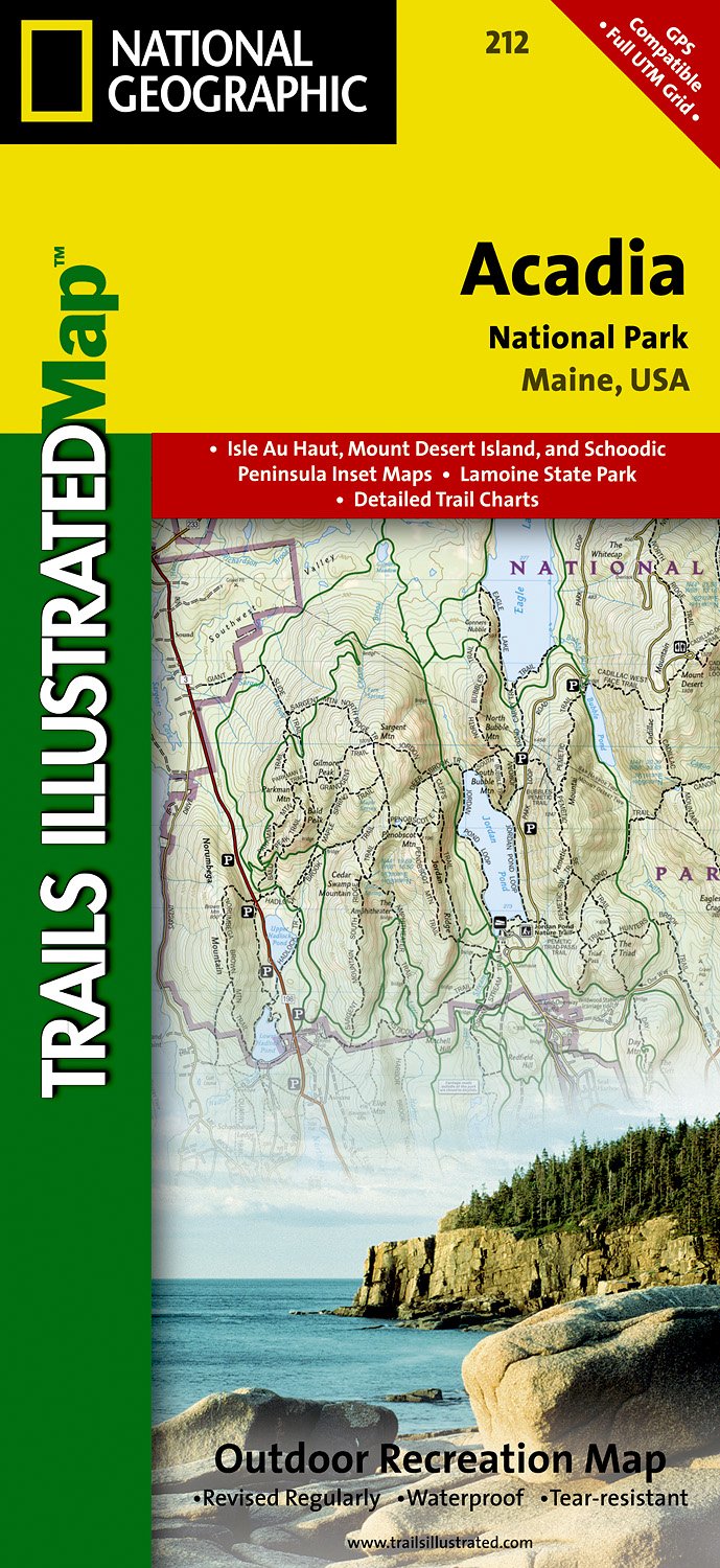
- Wandelkaart - Topografische kaart 212 Acadia National Park | National Geographic
- Prachtige geplastificeerde kaart van het nationaal park. Met alle recreatieve voorzieningen als campsites, maar ook met topografische details en wandelroutes ed. Door uitgekiend kleurgebruik zeer prettig in gebruik. Scheur en watervast! Trails Illustrated maps are the most trusted and popular recreation maps available. Continually setting the... Read more
- Also available from:
- Bol.com, Netherlands
- Bol.com, Belgium
- Stanfords, United Kingdom
- The Book Depository, United Kingdom
Bol.com
Netherlands
Netherlands
- Acadia National Park
- Waterproof Tear-Resistant Topographic MapUpdated to reflect road closings, new trails, and campground relocation, and includes detailed trail information, points of interest, trailheads, picnic areas, facitlities, and more.Features Mount Desert Island, Sestern Mountain, Norwood Ridge, Freeman Ridge, Isle au Haut, Marshall Island, Swans... Read more
Bol.com
Belgium
Belgium
- Acadia National Park
- Waterproof Tear-Resistant Topographic MapUpdated to reflect road closings, new trails, and campground relocation, and includes detailed trail information, points of interest, trailheads, picnic areas, facitlities, and more.Features Mount Desert Island, Sestern Mountain, Norwood Ridge, Freeman Ridge, Isle au Haut, Marshall Island, Swans... Read more

Stanfords
United Kingdom
United Kingdom
- Acadia National Park ME NGS Trails Illustrated Map 212
- Map No. 212, Acadia National Park, ME, in an extensive series of GPS compatible, contoured hiking maps of USA’s national and state parks or forests and other popular recreational areas. Cartography based on the national topographic survey, with additional tourist information.The maps, with most titles now printed on light, waterproof and... Read more


The Book Depository
United Kingdom
United Kingdom
- Caen / Evreux 2014
- Map No. 117, Caen - Evreux at 1:100,000, part of the TOP100 series from the Institut G Read more