
Massachusetts
Beschrijving
Massachusetts is a very populated state in New England. In the west are the Appalachian Mountains, with of course the Appalachian Trail (85 miles in Massachusetts).
The Massachusetts Trail on the Metacomet ridge is 114 miles long. The Midstate Trail counts 92 miles. Other trails include the Bay Circuit Trail, a 150 miles green corridor, and the East Coast Greenway (under construction). The Eastern Continental Trail passes through the state. Finally, there is the proposed New England Trail.
Kaart

Paden in deze landsdeel
Links
Feiten
Verslagen
Gidsen en kaarten
Overnachting
Organisaties
Reisorganisaties
GPS
Anders
Boeken

De Zwerver
Netherlands
2021
Netherlands
2021

De Zwerver
Netherlands
Netherlands


De Zwerver
Netherlands
2018
Netherlands
2018
- Wandelgids USA: Appalachian Trail | Conrad Stein Verlag
- Handzame overzichtsgids van deze geweldige en uitdagende lange afstands wandeling in het oosten van de USA: de Appalachian Trail. Het is een ideale gids om de hele tocht voor te bereiden en als basisgids bij je te hebben. Goede beschrijvingen van etappes en veel praktische informatie. Het enige wat mager is zijn dekaarten: goed voor overzicht... Read more
De Zwerver
Netherlands
2022
Netherlands
2022
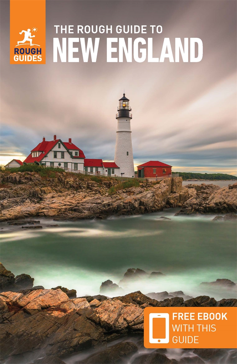
- Reisgids New England | Rough Guides
- Practical travel guide to New England with a free eBook featuring points-of-interest structured lists of all sights and off-the-beaten-track treasures, with detailed colour-coded maps, practical details about what to see and to do in New England, how to get there and around, pre-departure information, as well as top time-saving tips, like a... Read more
- Also available from:
- Stanfords, United Kingdom

Stanfords
United Kingdom
2022
United Kingdom
2022
- The Rough Guide to New England (Compact Guide with Free eBook)
- Practical travel guide to New England with a free eBook featuring points-of-interest structured lists of all sights and off-the-beaten-track treasures, with detailed colour-coded maps, practical details about what to see and to do in New England, how to get there and around, pre-departure information, as well as top time-saving tips, like a... Read more

Bol.com
Netherlands
Netherlands
- Gone Running
- Entertainingly describes the adventures, joys, challenges, and lessons of a running life. Endorsements: "An engaging and insightful read from a runner of 50+ years, who has been fortunate enough to run in many marvelous places, and smart enough to appreciate them, as well as the beauty of every single run." -Amby Burfoot, 1968 Boston Marathon... Read more
- Also available from:
- Bol.com, Belgium
Bol.com
Belgium
Belgium
- Gone Running
- Entertainingly describes the adventures, joys, challenges, and lessons of a running life. Endorsements: "An engaging and insightful read from a runner of 50+ years, who has been fortunate enough to run in many marvelous places, and smart enough to appreciate them, as well as the beauty of every single run." -Amby Burfoot, 1968 Boston Marathon... Read more
Bol.com
Netherlands
Netherlands
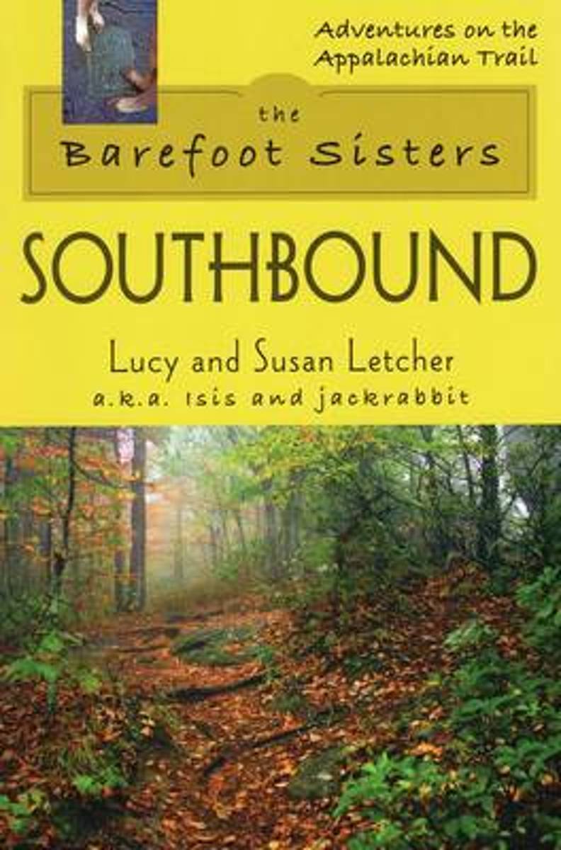
- Barefoot Sisters Southbound
- Sisters Lucy and Susan Letcher begin their barefoot thru-hike of the Appalachian Trail. A story filled with humor and determination. Read more
- Also available from:
- Bol.com, Belgium
Bol.com
Belgium
Belgium
- Barefoot Sisters Southbound
- Sisters Lucy and Susan Letcher begin their barefoot thru-hike of the Appalachian Trail. A story filled with humor and determination. Read more

Bol.com
Netherlands
Netherlands
- Fodor's Maine, Vermont & New Hampshire
- Written by locals, Fodor's travel guides have been offering expert advice for all tastes and budgets for more than 80 years. Northern New England is a classic American destination: iconic landscapes such as the rocky Maine coast, Vermont's Green Mountains, and New Hampshire's Lake District are all made for exploring. This full-color guide will... Read more
- Also available from:
- Bol.com, Belgium
Bol.com
Belgium
Belgium
- Fodor's Maine, Vermont & New Hampshire
- Written by locals, Fodor's travel guides have been offering expert advice for all tastes and budgets for more than 80 years. Northern New England is a classic American destination: iconic landscapes such as the rocky Maine coast, Vermont's Green Mountains, and New Hampshire's Lake District are all made for exploring. This full-color guide will... Read more
Bol.com
Netherlands
Netherlands
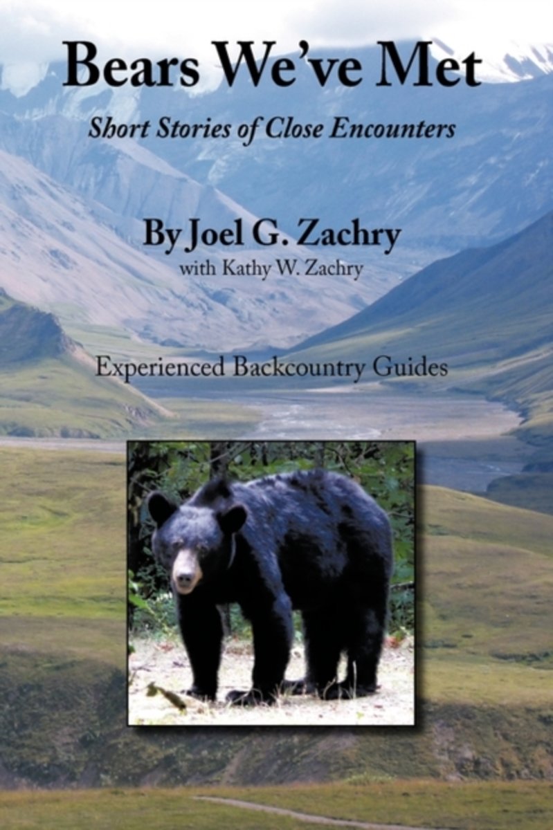
- Bears We've Met
- Bears We've Met is a compelling narrative of short stories of close encounters with bears spanning more than thirty years of the author's experiences in North America's remote regions. In this documentary the author shares early blunders and tense moments, including humorous and intriguing confrontations, as he and his wife confront the largest... Read more
- Also available from:
- Bol.com, Belgium
Bol.com
Belgium
Belgium
- Bears We've Met
- Bears We've Met is a compelling narrative of short stories of close encounters with bears spanning more than thirty years of the author's experiences in North America's remote regions. In this documentary the author shares early blunders and tense moments, including humorous and intriguing confrontations, as he and his wife confront the largest... Read more
Bol.com
Netherlands
Netherlands
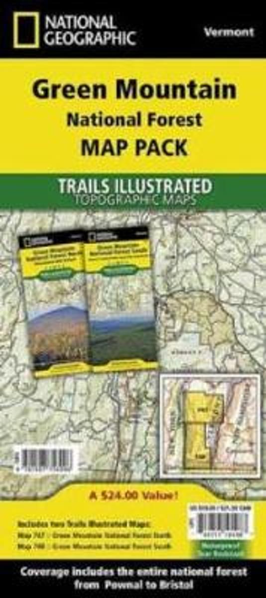
- Green Mountain National Forest, Vermont, Map Pack Bundle
- Waterproof Tear-Resistant Topographic MapThe Green Mountain National Forest Map Pack Bundle is the perfect companion to anyone planning a trip the stunning Green Mountains of Vermont. The Green Mountains are famous for thier rugged peaks and stunning beauty. This Map Pack combines two maps that cover the Green Mountain National Forest in... Read more
- Also available from:
- Bol.com, Belgium
- The Book Depository, United Kingdom
Bol.com
Belgium
Belgium
- Green Mountain National Forest, Vermont, Map Pack Bundle
- Waterproof Tear-Resistant Topographic MapThe Green Mountain National Forest Map Pack Bundle is the perfect companion to anyone planning a trip the stunning Green Mountains of Vermont. The Green Mountains are famous for thier rugged peaks and stunning beauty. This Map Pack combines two maps that cover the Green Mountain National Forest in... Read more

The Book Depository
United Kingdom
United Kingdom
- Green Mountain National Forest, Vermont, Map Pack Bundle
- Trails Illustrated National Parks Read more

Bol.com
Netherlands
Netherlands
- Maine Unleashed Second Edition
- A guide to over 151 dog walks in mid-coast Maine, with bonus walks in Vermont, Massachusetts and New Hampshire. Includes trail descriptions, travel instructions and much more. Read more
- Also available from:
- Bol.com, Belgium
Bol.com
Belgium
Belgium
- Maine Unleashed Second Edition
- A guide to over 151 dog walks in mid-coast Maine, with bonus walks in Vermont, Massachusetts and New Hampshire. Includes trail descriptions, travel instructions and much more. Read more
Bol.com
Netherlands
Netherlands
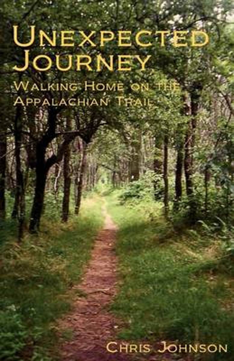
- Unexpected Journey
- At a major turning point in his life, Chris Johnson dares to throw it all away to hike the Appalachian Trail. Along the way he is met with friendships, hardships, beauty, suffering, struggle and gain, confrontations with demons both old and new, and ultimately triumph. An honest account, told from the heart, of the life-altering events... Read more
- Also available from:
- Bol.com, Belgium
Bol.com
Belgium
Belgium
- Unexpected Journey
- At a major turning point in his life, Chris Johnson dares to throw it all away to hike the Appalachian Trail. Along the way he is met with friendships, hardships, beauty, suffering, struggle and gain, confrontations with demons both old and new, and ultimately triumph. An honest account, told from the heart, of the life-altering events... Read more

Bol.com
Netherlands
Netherlands
- Berg Lake Fun Book
- DISCOVER:: FUN on the lake. This body of water is a true gem. Now you can work your way through the majestic shores that make this lake so special. Fun for all ages. Share the gift of Lake Fun with someone you love today. ***Limited Time Discount Offer!*** ***Regular Price $12.99*** ***Plus, As a Special Thank-you for buying this Book... Read more
- Also available from:
- Bol.com, Belgium
Bol.com
Belgium
Belgium
- Berg Lake Fun Book
- DISCOVER:: FUN on the lake. This body of water is a true gem. Now you can work your way through the majestic shores that make this lake so special. Fun for all ages. Share the gift of Lake Fun with someone you love today. ***Limited Time Discount Offer!*** ***Regular Price $12.99*** ***Plus, As a Special Thank-you for buying this Book... Read more
Bol.com
Netherlands
Netherlands
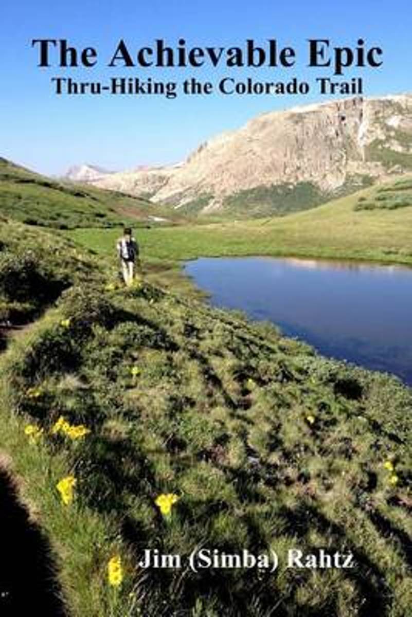
- The Achievable Epic
- Multiple Award Winner: 2015 Outdoor Writers of Ohio "Outstanding Media Achievement and Best Series of Photos."Inside many of us, there is a need, often suppressed, to accomplish something epic. For those that backpack, the dream is likely a thru-hike of the Appalachian Trail. Unfortunately, the reality is that spending six months on a hike is... Read more
- Also available from:
- Bol.com, Belgium
- The Book Depository, United Kingdom
Bol.com
Belgium
Belgium
- The Achievable Epic
- Multiple Award Winner: 2015 Outdoor Writers of Ohio "Outstanding Media Achievement and Best Series of Photos."Inside many of us, there is a need, often suppressed, to accomplish something epic. For those that backpack, the dream is likely a thru-hike of the Appalachian Trail. Unfortunately, the reality is that spending six months on a hike is... Read more

Kaarten

De Zwerver
Netherlands
Netherlands
- Wandelkaart - Topografische kaart 747 Green Mountain National Forest North - Moosalamoo NRA - Rutland | National Geographic
- Prachtige geplastificeerde kaart van het bekende nationaal park. Met alle recreatieve voorzieningen als campsites, maar ook met topografische details en wandelroutes ed. Door uitgekiend kleurgebruik zeer prettig in gebruik. Scheur en watervast! National Geographic's Green Mountain National Forest North Trails Illustrated topographic map is... Read more
- Also available from:
- Bol.com, Netherlands
- Bol.com, Belgium
- Stanfords, United Kingdom
- The Book Depository, United Kingdom

Bol.com
Netherlands
Netherlands
- Green Mountains N.F., Moosalamoo NRA/Rutland
- Waterproof Tear-Resistant Topographic MapNational Geographic's Green Mountain National Forest North Trails Illustrated topographic map is the most comprehensive available for outdoor enthusiasts of all types. Designed to be easy-to-read, yet highly detailed this map includes a comprehensive road and trail network distinguishing between... Read more
Bol.com
Belgium
Belgium
- Green Mountains N.F., Moosalamoo NRA/Rutland
- Waterproof Tear-Resistant Topographic MapNational Geographic's Green Mountain National Forest North Trails Illustrated topographic map is the most comprehensive available for outdoor enthusiasts of all types. Designed to be easy-to-read, yet highly detailed this map includes a comprehensive road and trail network distinguishing between... Read more

Stanfords
United Kingdom
United Kingdom
- Green Mountain National Forest - Moosalamoo NRA - Rutland VT
- Map No. 747, Green Mountain National Forest: Moosalamoo NRA - Rutland area in Vermont, in an extensive series of GPS compatible, contoured hiking maps of USA’s national and state parks or forests and other popular recreational areas. Cartography based on the national topographic survey, with additional tourist information.The maps, with most... Read more

The Book Depository
United Kingdom
United Kingdom
- Green Mountains N.f., Moosalamoo Nra/rutland
- Trails Illustrated Other Rec. Areas Read more

De Zwerver
Netherlands
Netherlands
- Wandelkaart - Topografische kaart 316 Cades Cove - Elkmont - Great Smoky Mountains National Park | National Geographic
- Prachtige geplastificeerde kaart van het bekende nationaal park. Met alle recreatieve voorzieningen als campsites, maar ook met topografische details en wandelroutes ed. Door uitgekiend kleurgebruik zeer prettig in gebruik. Scheur en watervast! This title provides an increased scale of one of the most visited National Parks in the US, and one... Read more
- Also available from:
- Bol.com, Netherlands
- Bol.com, Belgium
- Stanfords, United Kingdom

Bol.com
Netherlands
Netherlands
- Cades Cove/elkmont, Great Smoky Mountains National Park
- Waterproof Tear-Resistant Topographic MapThis title provides an increased scale of one of the most visited National Parks in the US, and one of our more popular map titles. This increased scale will provide greater detail to the backcountry users and Appalachian Trail through-hikers.Park Introduction:Great Smoky Mountains National Park is... Read more
Bol.com
Belgium
Belgium
- Cades Cove/elkmont, Great Smoky Mountains National Park
- Waterproof Tear-Resistant Topographic MapThis title provides an increased scale of one of the most visited National Parks in the US, and one of our more popular map titles. This increased scale will provide greater detail to the backcountry users and Appalachian Trail through-hikers.Park Introduction:Great Smoky Mountains National Park is... Read more

Stanfords
United Kingdom
United Kingdom
- Cades Cove - Elkmont - Great Smoky Mountains National Park NC/TN
- Map No. 316, Great Smoky Mountains National Park: Cades Cove - Elkmont, NC/TN, in an extensive series of GPS compatible, contoured hiking maps of USA’s national and state parks or forests and other popular recreational areas. Cartography based on the national topographic survey, with additional tourist information.The maps, with most titles now... Read more
De Zwerver
Netherlands
Netherlands
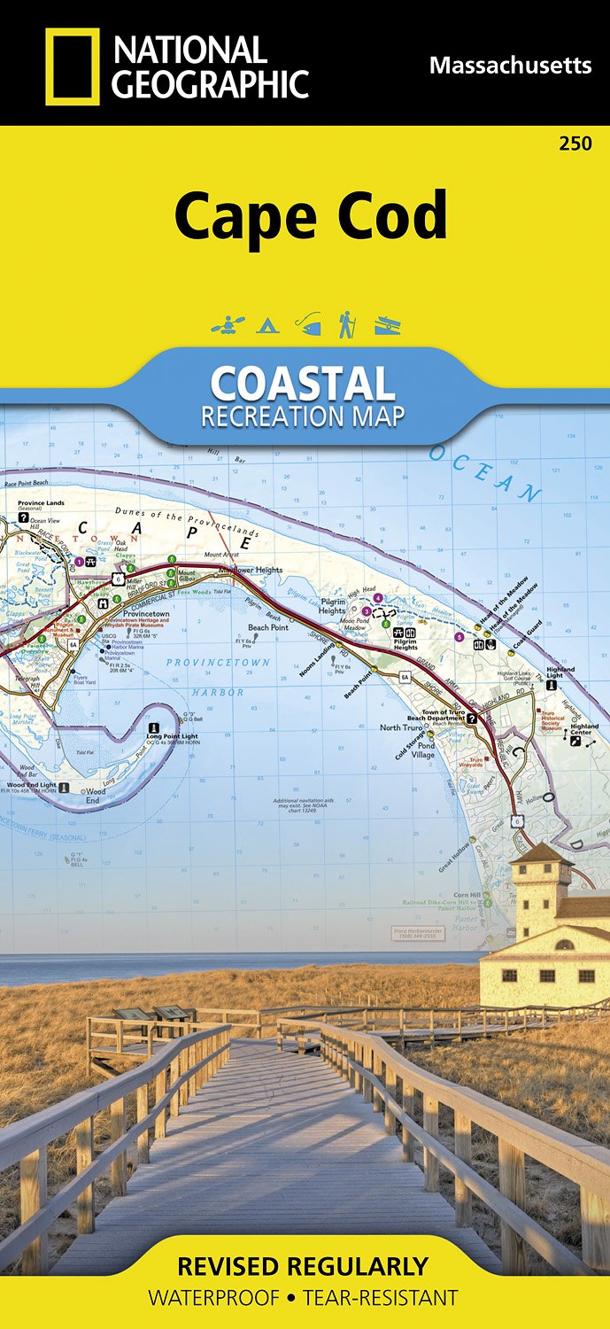
- Wandelkaart - Topografische kaart 250 Cape Cod | National Geographic
- Prachtige geplastificeerde topografische wandel- en vaarkaart van het Cape Cod kustgebied. Met alle recreatieve voorzieningen als campsites, stranden, en watersport maar ook met topografische details en wandelroutes ed. Door uitgekiend kleurgebruik zeer prettig in gebruik. Scheur en watervast! National Geographic's Cape Cod Coastal... Read more
- Also available from:
- Bol.com, Netherlands
- Bol.com, Belgium
- Stanfords, United Kingdom
- The Book Depository, United Kingdom

Bol.com
Netherlands
Netherlands
- Cape Cod
- Waterproof Tear-Resistant Topographic MapNational Geographic's Cape Cod Coastal Recreation map is the ideal companion for adventures along shore and on the water.National Geographic's new family of Coastal Recreation maps are two-sided, waterproof maps designed specifically for recreation along America's most beautiful shorelines. These... Read more
Bol.com
Belgium
Belgium
- Cape Cod
- Waterproof Tear-Resistant Topographic MapNational Geographic's Cape Cod Coastal Recreation map is the ideal companion for adventures along shore and on the water.National Geographic's new family of Coastal Recreation maps are two-sided, waterproof maps designed specifically for recreation along America's most beautiful shorelines. These... Read more

Stanfords
United Kingdom
United Kingdom
- Cape Cod National Seashore MA NGS Trails Illustrated Map 250
- Map No. 250, Cape Cod National Seashore, MA, in an extensive series of GPS compatible, contoured hiking maps of USA’s national and state parks or forests and other popular recreational areas. Cartography based on the national topographic survey, with additional tourist information.The maps, with most titles now printed on light, waterproof and... Read more


Bol.com
Netherlands
Netherlands
- Springer & Cohutta Mountains, Chattahoochee National Forest
- Waterproof Tear-Resistant Topographic MapLocated just north of Atlanta, the Chattahoochee National Forest contains the southern terminus of the Appalachian Trail along with an abundance of recreational opportunities for outdoor enthusiasts of all interests.This detailed recreation map contains carefully researched trails, campsites,... Read more
- Also available from:
- Bol.com, Belgium
- Stanfords, United Kingdom
Bol.com
Belgium
Belgium
- Springer & Cohutta Mountains, Chattahoochee National Forest
- Waterproof Tear-Resistant Topographic MapLocated just north of Atlanta, the Chattahoochee National Forest contains the southern terminus of the Appalachian Trail along with an abundance of recreational opportunities for outdoor enthusiasts of all interests.This detailed recreation map contains carefully researched trails, campsites,... Read more

Stanfords
United Kingdom
United Kingdom
- Chattahoochee National Forest - Springer and Cohutta Mountains GA/SC 777
- Map No. 777, Chattahoochee National Forest: Springer and Cohutta Mountains, GA/SC, in an extensive series of GPS compatible, contoured hiking maps of USA’s national and state parks or forests and other popular recreational areas. Cartography based on the national topographic survey, with additional tourist information.The maps, with most titles... Read more

De Zwerver
Netherlands
Netherlands
- Wandelkaart - Topografische kaart 318 Mount Rogers High Country - Grayson Highlands State Park | National Geographic
- Prachtige geplastificeerde kaart van het bekende nationaal park. Met alle recreatieve voorzieningen als campsites, maar ook met topografische details en wandelroutes ed. Door uitgekiend kleurgebruik zeer prettig in gebruik. Scheur en watervast! National Geographic's Trails Illustrated map of Mount Rogers High Country and Grayson Highlands... Read more
- Also available from:
- Bol.com, Netherlands
- Bol.com, Belgium
- Stanfords, United Kingdom
- The Book Depository, United Kingdom

Bol.com
Netherlands
Netherlands
- Mount Rogers High Country
- Waterproof Tear-Resistant Topographic MapNational Geographic's Trails Illustrated map of Mount Rogers High Country and Grayson Highlands State Park, Southwest Virginia, is a two-sided, waterproof, topographic trail map designed to meet the needs of outdoor enthusiasts with unmatched durability and detail. This map was created in... Read more
Bol.com
Belgium
Belgium
- Mount Rogers High Country
- Waterproof Tear-Resistant Topographic MapNational Geographic's Trails Illustrated map of Mount Rogers High Country and Grayson Highlands State Park, Southwest Virginia, is a two-sided, waterproof, topographic trail map designed to meet the needs of outdoor enthusiasts with unmatched durability and detail. This map was created in... Read more

Stanfords
United Kingdom
United Kingdom
- Mount Rogers High Country VA
- Map No. 318 - Mount Rogers High Country in Virginia in an extensive series of GPS compatible, contoured hiking maps of USA’s national and state parks or forests and other popular recreational areas. Cartography based on the national topographic survey, with additional tourist information.The maps, with most titles now printed on light,... Read more

The Book Depository
United Kingdom
United Kingdom
- Mount Rogers High Country
- Trails Illustrated Other Rec. Areas Read more