
Appalachian Trail
Beschrijving
- Name Appalachian Trail (AT)
- Lengte van pad 3,476 km, 2,160 mijl
- Lengte in dagen 180 dagen
- Traildino graad SW, Inspannende wandeling, bergpad
- Huttentrektocht graad T2, Bergtocht
 The Appalachian Trail is the oldest and most famous long distance hike in the U.S. It follows the Appalachian mountain range through 14 eastern states. An estimated 10,000 thru-hikers have finished the Appalachian Trail. It is possible to thru-hike it in one season. The 2160 miles (3480 km) can be completed in 47 days, 13 hours and 31 minutes (Andrew Thompson did it in 2005).
Kaart


Links
Feiten
Verslagen
Gidsen en kaarten
Overnachting
Organisaties
Reisorganisaties
GPS
Anders
Boeken

De Zwerver
Netherlands
Netherlands


De Zwerver
Netherlands
2018
Netherlands
2018
- Wandelgids USA: Appalachian Trail | Conrad Stein Verlag
- Handzame overzichtsgids van deze geweldige en uitdagende lange afstands wandeling in het oosten van de USA: de Appalachian Trail. Het is een ideale gids om de hele tocht voor te bereiden en als basisgids bij je te hebben. Goede beschrijvingen van etappes en veel praktische informatie. Het enige wat mager is zijn dekaarten: goed voor overzicht... Read more
Bol.com
Netherlands
Netherlands
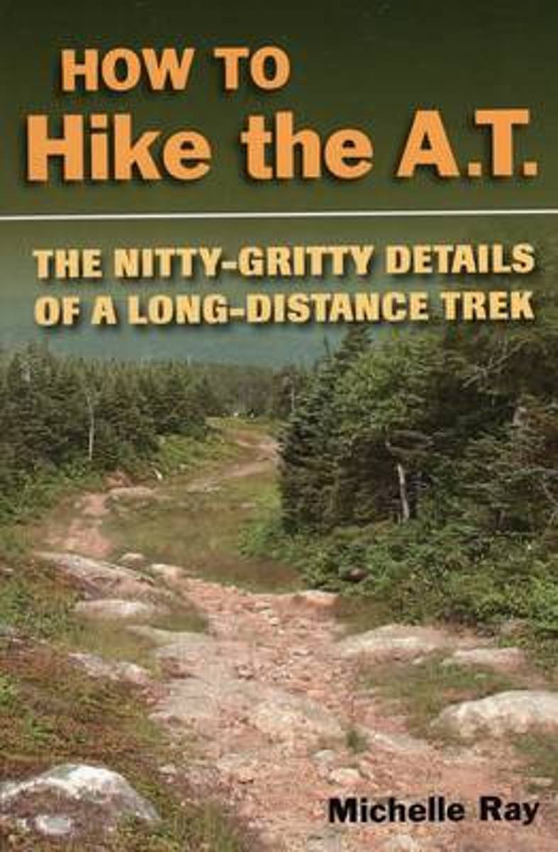
- How to Hike the A.T.
- How to plan and prepare for a long-distance hike on the Appalachian Trail. Includes information on trail nutrition, culture, first aid, gear, weather conditions, and more. Expert advice from an experienced long-distance hiker along with useful information for any long-distance trek. Read more
- Also available from:
- Bol.com, Belgium
- The Book Depository, United Kingdom
Bol.com
Belgium
Belgium
- How to Hike the A.T.
- How to plan and prepare for a long-distance hike on the Appalachian Trail. Includes information on trail nutrition, culture, first aid, gear, weather conditions, and more. Expert advice from an experienced long-distance hiker along with useful information for any long-distance trek. Read more

The Book Depository
United Kingdom
United Kingdom
- How to Hike the A.T.
- The Nitty-Gritty Details of a Long-Distance Trek Read more
- Also available from:
- Bol.com, Belgium
Bol.com
Netherlands
Netherlands
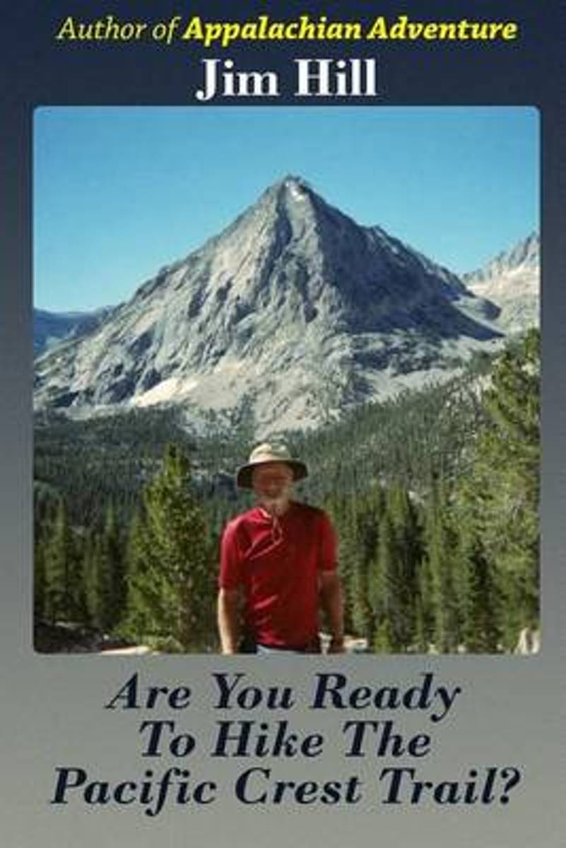
- Are You Ready to Hike the Pacific Crest Trail?
- When I finished hiking the Appalachian Trail in 2009 I wrote about my adventure for my family and friends. A number of them told me they felt like they were hiking the Appalachian Trail with me from the comfort of home. I hiked the Pacific Crest Trail in 2012. They wanted me to write about that adventure, too. When I finished writing the book,... Read more
- Also available from:
- Bol.com, Belgium
Bol.com
Belgium
Belgium
- Are You Ready to Hike the Pacific Crest Trail?
- When I finished hiking the Appalachian Trail in 2009 I wrote about my adventure for my family and friends. A number of them told me they felt like they were hiking the Appalachian Trail with me from the comfort of home. I hiked the Pacific Crest Trail in 2012. They wanted me to write about that adventure, too. When I finished writing the book,... Read more

Bol.com
Netherlands
Netherlands
- The Longest Mile
- For nine days in early May, Ryan Watkins along with two brothers, Jeremy and Chris Jones, backpack the world-famous Appalachian Trail through the Great Smoky Mountains National Park. From his very first steps into the Smokies, Ryan quickly learns the seventy-mile stretch of trail is far more difficult than he ever imagined.The trio battles... Read more
- Also available from:
- Bol.com, Belgium
- The Book Depository, United Kingdom
Bol.com
Belgium
Belgium
- The Longest Mile
- For nine days in early May, Ryan Watkins along with two brothers, Jeremy and Chris Jones, backpack the world-famous Appalachian Trail through the Great Smoky Mountains National Park. From his very first steps into the Smokies, Ryan quickly learns the seventy-mile stretch of trail is far more difficult than he ever imagined.The trio battles... Read more

Bol.com
Netherlands
Netherlands
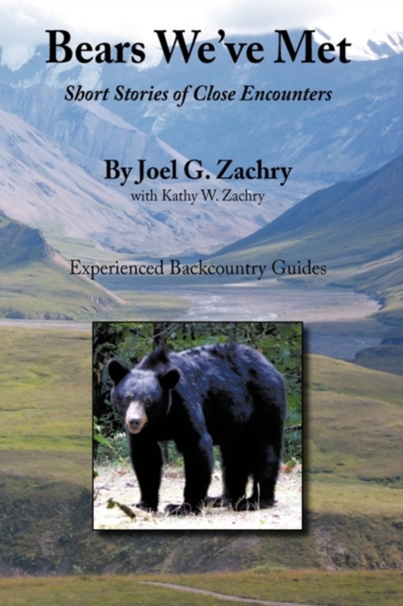
- Bears We've Met
- Bears We've Met is a compelling narrative of short stories of close encounters with bears spanning more than thirty years of the author's experiences in North America's remote regions. In this documentary the author shares early blunders and tense moments, including humorous and intriguing confrontations, as he and his wife confront the largest... Read more
- Also available from:
- Bol.com, Belgium
Bol.com
Belgium
Belgium
- Bears We've Met
- Bears We've Met is a compelling narrative of short stories of close encounters with bears spanning more than thirty years of the author's experiences in North America's remote regions. In this documentary the author shares early blunders and tense moments, including humorous and intriguing confrontations, as he and his wife confront the largest... Read more

Bol.com
Netherlands
Netherlands
- A Pink Suitcase
- A Pink Suitcase brings together a talented group of daring women as they journey across the globe on adventures that are as unforgettable as they are moving. These intrepid explorers take on the world with wide eyes, an open heart and a woman's point of view. They tackle Mother Nature, dive into other cultures and try new things. And in the... Read more
- Also available from:
- Bol.com, Belgium
Bol.com
Belgium
Belgium
- A Pink Suitcase
- A Pink Suitcase brings together a talented group of daring women as they journey across the globe on adventures that are as unforgettable as they are moving. These intrepid explorers take on the world with wide eyes, an open heart and a woman's point of view. They tackle Mother Nature, dive into other cultures and try new things. And in the... Read more
Bol.com
Netherlands
Netherlands
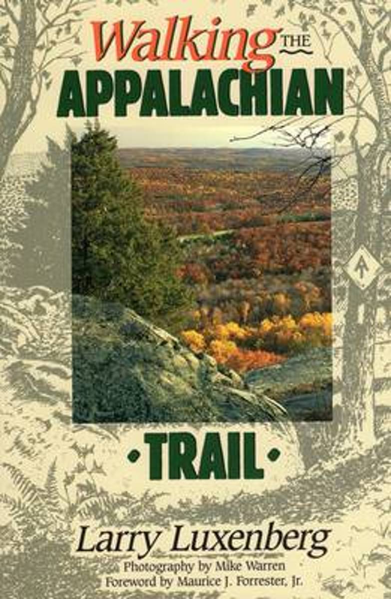
- Walking the Appalachian Trail
- Accounts by thru-hikers, organized by topic. Foreword by hiker Maurice Forrester and stunning color photos by Mike Warren. Read more
- Also available from:
- Bol.com, Belgium
- The Book Depository, United Kingdom
Bol.com
Belgium
Belgium
- Walking the Appalachian Trail
- Accounts by thru-hikers, organized by topic. Foreword by hiker Maurice Forrester and stunning color photos by Mike Warren. Read more

Bol.com
Netherlands
Netherlands
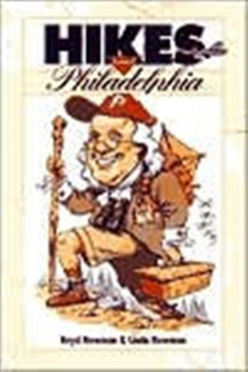
- Hikes Around Philadelphia
- Want to walk for a leisurely hour or two with the kids? Take them to the Churchville Nature Center, with its re-created Lenape Indian village and children's exhibits. Or would you prefer a more strenuous all-day hike? Try the rocky woods trail at Bake Oven Knob, Bear Rocks, and The Cliffs. Or if you're interested in wildlife, hike Green Lane... Read more
- Also available from:
- Bol.com, Belgium
Bol.com
Belgium
Belgium
- Hikes Around Philadelphia
- Want to walk for a leisurely hour or two with the kids? Take them to the Churchville Nature Center, with its re-created Lenape Indian village and children's exhibits. Or would you prefer a more strenuous all-day hike? Try the rocky woods trail at Bake Oven Knob, Bear Rocks, and The Cliffs. Or if you're interested in wildlife, hike Green Lane... Read more
- Also available from:
- Bol.com, Belgium

De Zwerver
Netherlands
Netherlands
- Also available from:
- Bol.com, Netherlands
- Bol.com, Belgium
Bol.com
Netherlands
Netherlands
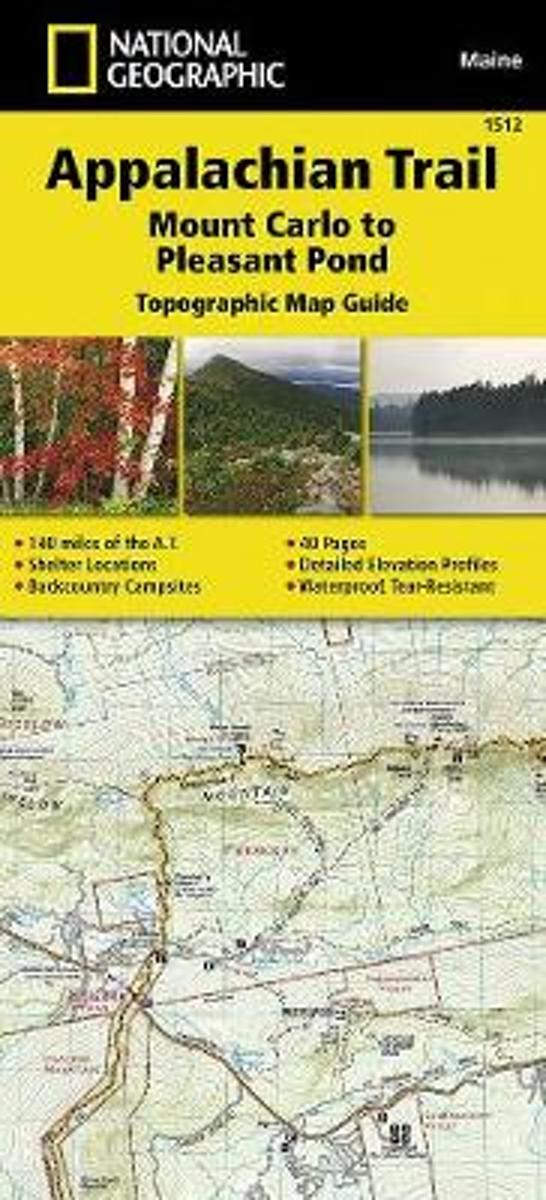
- Appalachian Trail, Mount Carlo To Pleasant Pond, Maine
- Waterproof Tear-Resistant Topographic Map GuideThe Mount Carlo to Pleasant Pond Topographic Map Guide makes a perfect traveling companion when traversing the southern Maine section of the Appalachian Trail (A.T.). The A.T. through Maine offers some of the most challenging sections of trail along the A.T., both in rugged terrain and... Read more
Bol.com
Belgium
Belgium
- Appalachian Trail, Mount Carlo To Pleasant Pond, Maine
- Waterproof Tear-Resistant Topographic Map GuideThe Mount Carlo to Pleasant Pond Topographic Map Guide makes a perfect traveling companion when traversing the southern Maine section of the Appalachian Trail (A.T.). The A.T. through Maine offers some of the most challenging sections of trail along the A.T., both in rugged terrain and... Read more
Bol.com
Netherlands
Netherlands
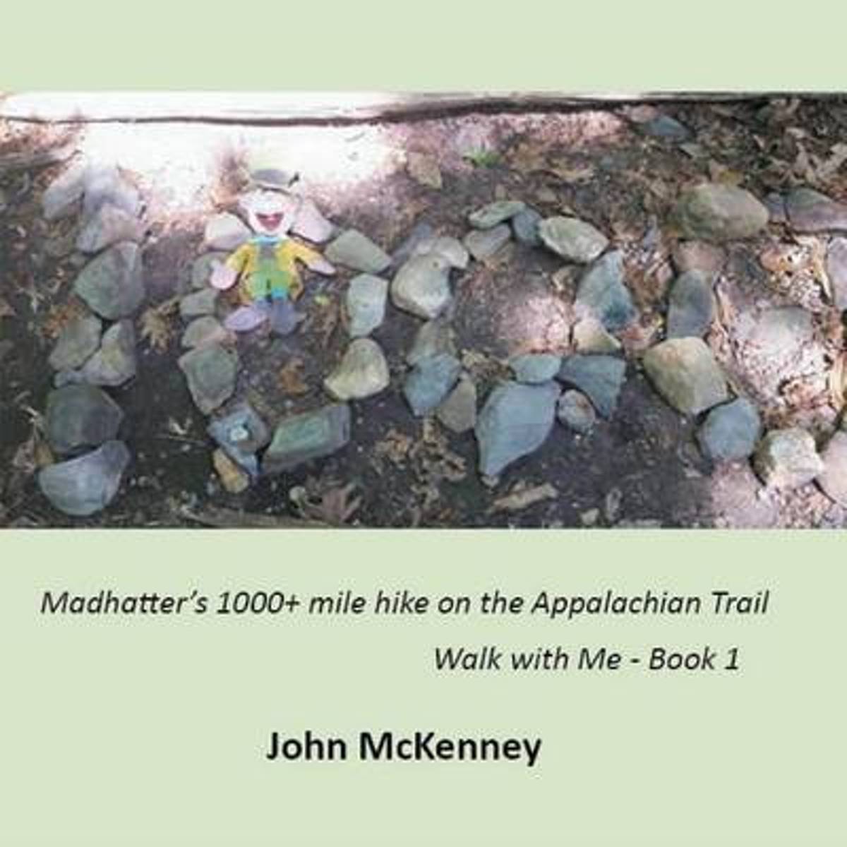
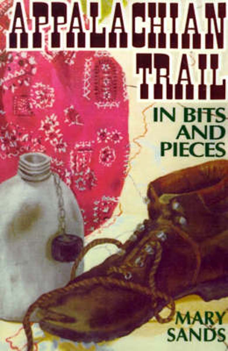
- Appalachian Trail in Bits and Pieces
- Mary Mama Boots Sands introduced more than 100 Girl Scouts to the adventures of the Appalachian Trail during more than 16 years of hiking it in sections. It all adds up to well more than 100 individual adventures. Read more
- Also available from:
- Bol.com, Belgium
Bol.com
Belgium
Belgium
- Appalachian Trail in Bits and Pieces
- Mary Mama Boots Sands introduced more than 100 Girl Scouts to the adventures of the Appalachian Trail during more than 16 years of hiking it in sections. It all adds up to well more than 100 individual adventures. Read more

Bol.com
Netherlands
Netherlands
- Journey on the Crest
- "Cindy Ross does not claim to be a heroine. Her book is about the fear of an ordinary person doing extraordinary things. . . . It is good to read of someone who is just crammed full of courage, guts, spirit and determination." Smoke Blanchard, Walking Up and Down in the WorldCindy Ross had already hiked the 2000-mile length of the Appalachian... Read more
- Also available from:
- Bol.com, Belgium
Bol.com
Belgium
Belgium
- Journey on the Crest
- "Cindy Ross does not claim to be a heroine. Her book is about the fear of an ordinary person doing extraordinary things. . . . It is good to read of someone who is just crammed full of courage, guts, spirit and determination." Smoke Blanchard, Walking Up and Down in the WorldCindy Ross had already hiked the 2000-mile length of the Appalachian... Read more
Kaarten

Bol.com
Netherlands
Netherlands
- Springer & Cohutta Mountains, Chattahoochee National Forest
- Waterproof Tear-Resistant Topographic MapLocated just north of Atlanta, the Chattahoochee National Forest contains the southern terminus of the Appalachian Trail along with an abundance of recreational opportunities for outdoor enthusiasts of all interests.This detailed recreation map contains carefully researched trails, campsites,... Read more
- Also available from:
- Bol.com, Belgium
- Stanfords, United Kingdom
Bol.com
Belgium
Belgium
- Springer & Cohutta Mountains, Chattahoochee National Forest
- Waterproof Tear-Resistant Topographic MapLocated just north of Atlanta, the Chattahoochee National Forest contains the southern terminus of the Appalachian Trail along with an abundance of recreational opportunities for outdoor enthusiasts of all interests.This detailed recreation map contains carefully researched trails, campsites,... Read more

Stanfords
United Kingdom
United Kingdom
- Chattahoochee National Forest - Springer and Cohutta Mountains GA/SC 777
- Map No. 777, Chattahoochee National Forest: Springer and Cohutta Mountains, GA/SC, in an extensive series of GPS compatible, contoured hiking maps of USA’s national and state parks or forests and other popular recreational areas. Cartography based on the national topographic survey, with additional tourist information.The maps, with most titles... Read more

De Zwerver
Netherlands
Netherlands
- Wandelkaart - Topografische kaart 318 Mount Rogers High Country - Grayson Highlands State Park | National Geographic
- Prachtige geplastificeerde kaart van het bekende nationaal park. Met alle recreatieve voorzieningen als campsites, maar ook met topografische details en wandelroutes ed. Door uitgekiend kleurgebruik zeer prettig in gebruik. Scheur en watervast! National Geographic's Trails Illustrated map of Mount Rogers High Country and Grayson Highlands... Read more
- Also available from:
- Bol.com, Netherlands
- Bol.com, Belgium
- Stanfords, United Kingdom
- The Book Depository, United Kingdom

Bol.com
Netherlands
Netherlands
- Mount Rogers High Country
- Waterproof Tear-Resistant Topographic MapNational Geographic's Trails Illustrated map of Mount Rogers High Country and Grayson Highlands State Park, Southwest Virginia, is a two-sided, waterproof, topographic trail map designed to meet the needs of outdoor enthusiasts with unmatched durability and detail. This map was created in... Read more
Bol.com
Belgium
Belgium
- Mount Rogers High Country
- Waterproof Tear-Resistant Topographic MapNational Geographic's Trails Illustrated map of Mount Rogers High Country and Grayson Highlands State Park, Southwest Virginia, is a two-sided, waterproof, topographic trail map designed to meet the needs of outdoor enthusiasts with unmatched durability and detail. This map was created in... Read more

Stanfords
United Kingdom
United Kingdom
- Mount Rogers High Country VA
- Map No. 318 - Mount Rogers High Country in Virginia in an extensive series of GPS compatible, contoured hiking maps of USA’s national and state parks or forests and other popular recreational areas. Cartography based on the national topographic survey, with additional tourist information.The maps, with most titles now printed on light,... Read more

The Book Depository
United Kingdom
United Kingdom
- Mount Rogers High Country
- Trails Illustrated Other Rec. Areas Read more

De Zwerver
Netherlands
Netherlands
- Wandelkaart - Topografische kaart 747 Green Mountain National Forest North - Moosalamoo NRA - Rutland | National Geographic
- Prachtige geplastificeerde kaart van het bekende nationaal park. Met alle recreatieve voorzieningen als campsites, maar ook met topografische details en wandelroutes ed. Door uitgekiend kleurgebruik zeer prettig in gebruik. Scheur en watervast! National Geographic's Green Mountain National Forest North Trails Illustrated topographic map is... Read more
- Also available from:
- Bol.com, Netherlands
- Bol.com, Belgium
- Stanfords, United Kingdom
- The Book Depository, United Kingdom

Bol.com
Netherlands
Netherlands
- Green Mountains N.F., Moosalamoo NRA/Rutland
- Waterproof Tear-Resistant Topographic MapNational Geographic's Green Mountain National Forest North Trails Illustrated topographic map is the most comprehensive available for outdoor enthusiasts of all types. Designed to be easy-to-read, yet highly detailed this map includes a comprehensive road and trail network distinguishing between... Read more
Bol.com
Belgium
Belgium
- Green Mountains N.F., Moosalamoo NRA/Rutland
- Waterproof Tear-Resistant Topographic MapNational Geographic's Green Mountain National Forest North Trails Illustrated topographic map is the most comprehensive available for outdoor enthusiasts of all types. Designed to be easy-to-read, yet highly detailed this map includes a comprehensive road and trail network distinguishing between... Read more

Stanfords
United Kingdom
United Kingdom
- Green Mountain National Forest - Moosalamoo NRA - Rutland VT
- Map No. 747, Green Mountain National Forest: Moosalamoo NRA - Rutland area in Vermont, in an extensive series of GPS compatible, contoured hiking maps of USA’s national and state parks or forests and other popular recreational areas. Cartography based on the national topographic survey, with additional tourist information.The maps, with most... Read more

The Book Depository
United Kingdom
United Kingdom
- Green Mountains N.f., Moosalamoo Nra/rutland
- Trails Illustrated Other Rec. Areas Read more

De Zwerver
Netherlands
Netherlands
- Wandelkaart - Topografische kaart 316 Cades Cove - Elkmont - Great Smoky Mountains National Park | National Geographic
- Prachtige geplastificeerde kaart van het bekende nationaal park. Met alle recreatieve voorzieningen als campsites, maar ook met topografische details en wandelroutes ed. Door uitgekiend kleurgebruik zeer prettig in gebruik. Scheur en watervast! This title provides an increased scale of one of the most visited National Parks in the US, and one... Read more
- Also available from:
- Bol.com, Netherlands
- Bol.com, Belgium
- Stanfords, United Kingdom

Bol.com
Netherlands
Netherlands
- Cades Cove/elkmont, Great Smoky Mountains National Park
- Waterproof Tear-Resistant Topographic MapThis title provides an increased scale of one of the most visited National Parks in the US, and one of our more popular map titles. This increased scale will provide greater detail to the backcountry users and Appalachian Trail through-hikers.Park Introduction:Great Smoky Mountains National Park is... Read more
Bol.com
Belgium
Belgium
- Cades Cove/elkmont, Great Smoky Mountains National Park
- Waterproof Tear-Resistant Topographic MapThis title provides an increased scale of one of the most visited National Parks in the US, and one of our more popular map titles. This increased scale will provide greater detail to the backcountry users and Appalachian Trail through-hikers.Park Introduction:Great Smoky Mountains National Park is... Read more

Stanfords
United Kingdom
United Kingdom
- Cades Cove - Elkmont - Great Smoky Mountains National Park NC/TN
- Map No. 316, Great Smoky Mountains National Park: Cades Cove - Elkmont, NC/TN, in an extensive series of GPS compatible, contoured hiking maps of USA’s national and state parks or forests and other popular recreational areas. Cartography based on the national topographic survey, with additional tourist information.The maps, with most titles now... Read more