
Benton MacKaye Trail
Beschrijving
- Name Benton MacKaye Trail (BMKT)
- Lengte van pad 463 km, 288 mijl
- Lengte in dagen 25 dagen
- Traildino graad MW, Gemiddelde wandeling, trektocht
- Huttentrektocht graad T1, Wandeling
 The Benton MacKaye Trail is a footpath of 288 miles (463 km) in the Appalachian Mountains. It connects to the Appalachian Trail. BMT is a backcountry hiking trail. Nearly half the route is on land managed as Wilderness. The trail passes through some of the most remote backcountry in Georgia, Tennessee and North Carolina.
Select some tracks
☐Benton MacKaye Trail, 448km
Kaart


Links
Feiten
Verslagen
Gidsen en kaarten
Overnachting
Organisaties
Reisorganisaties
GPS
Anders
Boeken
Bol.com
Netherlands
Netherlands
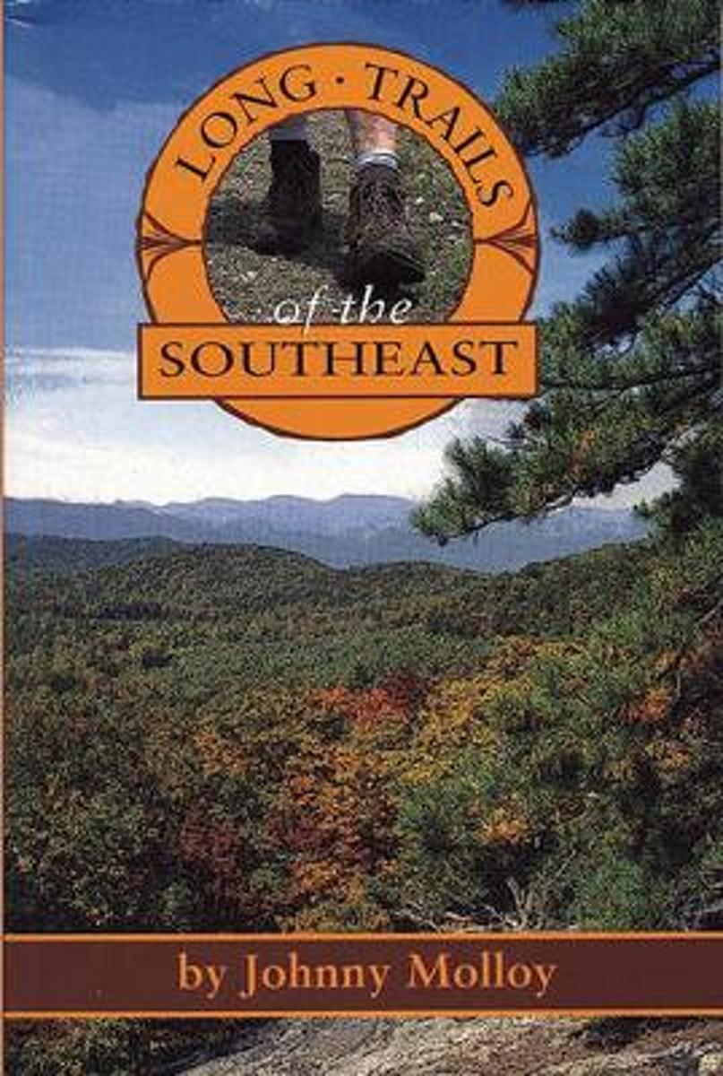
- Long Trails of the Southeast
- Trekking the Appalachian Trail is no longer the solitary experience it once was. Backpackers and hikers looking for less crowded outdoor experience should grab Long Trails of the Southeast to discover the many opportunities available in the Deep South. This guide covers 600 miles of trails in 6 states, including the 104-mile Pinhoti Trail, the... Read more
- Also available from:
- Bol.com, Belgium
Bol.com
Belgium
Belgium
- Long Trails of the Southeast
- Trekking the Appalachian Trail is no longer the solitary experience it once was. Backpackers and hikers looking for less crowded outdoor experience should grab Long Trails of the Southeast to discover the many opportunities available in the Deep South. This guide covers 600 miles of trails in 6 states, including the 104-mile Pinhoti Trail, the... Read more
Kaarten

Bol.com
Netherlands
Netherlands
- Springer & Cohutta Mountains, Chattahoochee National Forest
- Waterproof Tear-Resistant Topographic MapLocated just north of Atlanta, the Chattahoochee National Forest contains the southern terminus of the Appalachian Trail along with an abundance of recreational opportunities for outdoor enthusiasts of all interests.This detailed recreation map contains carefully researched trails, campsites,... Read more
- Also available from:
- Bol.com, Belgium
- Stanfords, United Kingdom
Bol.com
Belgium
Belgium
- Springer & Cohutta Mountains, Chattahoochee National Forest
- Waterproof Tear-Resistant Topographic MapLocated just north of Atlanta, the Chattahoochee National Forest contains the southern terminus of the Appalachian Trail along with an abundance of recreational opportunities for outdoor enthusiasts of all interests.This detailed recreation map contains carefully researched trails, campsites,... Read more

Stanfords
United Kingdom
United Kingdom
- Chattahoochee National Forest - Springer and Cohutta Mountains GA/SC 777
- Map No. 777, Chattahoochee National Forest: Springer and Cohutta Mountains, GA/SC, in an extensive series of GPS compatible, contoured hiking maps of USA’s national and state parks or forests and other popular recreational areas. Cartography based on the national topographic survey, with additional tourist information.The maps, with most titles... Read more