
Frankrijk
Beschrijving

France, country of contrasts, home to the inventors of the Topoguide, is a great walking destination all year round. An intricate network of long distance footpaths, the so-called Grands Randonnées, reaches out to the farthest corners of the country. At least 80 long distance trails and their countless variants are meticulously documented and waymarked. Mastering a bit of French will help you find your way, and a bottle of wine at that.
It may be difficult to find information or topo guides for many trails. The exact route - not only the name "GR" - of any hiking trail in France is copyrighted by the FFRP and cannot be published by others without their consent. The maps of IGN usually show all regional PR's and national GR's.
The French themselves are mad about walking, often in groups of about 20, recognisable by their non-stop rather loud conversations lasting from dawn till dusk and snacking on hard boiled eggs en route. So join the crowd and turn bon vivant. Walk the Provence in spring, pass through the wine regions coloured all red in late autumn. Enjoy the Atlantic coast and its birds in May, and the shimmering sun on the glaciers in summer. Explore the Loire in autumn, and the dark forests of the Morvan in winter. Or take a walk all the way from the Atlantic to the Mediterranean right across the Pyrenees along the GR10. Another popular trail is the GR5, from Luxembourg to Nice through the Vosges, the Elzas and the Alps. For those fearless and bursting with energy, the GR20 is a fine challenge. This trail following the highest ridges of the island of Corsica is for the surefooted only.
Another popular walk of course is the TMB, the Tour du Mont Blanc: eight days with views on the highest mountain of Europe, weather permitting. Drawback: crazy busy. Less known, but just as fine, is the Tour du Queyras (GR58), also in the Alps. Other best hikes in the Alps are the Tour de la Vanoise (GR55) or the Tour de l'Oisans (GR54). You can walk the Vallée des Merveilles (GR52). And a bit on the outside of the Alps is the Vercors (GR91 - GR95) and Mt Lubéron (GR97). There you are, now you know what the French themselves like most.
Along most GR's you will find huts or Gites d'Etappe at regular intervals. These are mostly just simple shelters, so bring food to prepare your own meals. Outside the main summer season, with most French back in Paris, the Gites are often closed. In such cases, bring your own tent. Most GR's can be tough but not dangerous, except the GR20.
Kaart


Paden
- Camino de BaztanGPX
- Chemin du Roi Dagobert
- E10GPX
- E12GPX
- E2GPX
- E3GPX
- E4GPX
- E5GPX
- E7GPX
- E9GPX
- GR1 - Tour de ParisGPX
- GR10 - Traversée des PyrénéesGPX
- GR101GPX
- GR107 - El CamĂ dels Bons HomesGPX
- GR11 - Grand Tour de ParisGPX
- GR111 - Sentier de l’EssonneGPX
- GR12 - Amsterdam - ParisGPX
- GR120 - Parc RĂ©gional BoulonnaisGPX
- GR121 - Wavre - BoulogneGPX
- GR122 - ScheldelandGPX
- GR123 - À travers la PicardieGPX
- GR124GPX
- GR125GPX
- GR126 (France)GPX
- GR127GPX
- GR128 - VlaanderenrouteGPX
- GR13 - Traversée du MorvanGPX
- GR130 - IJzerGPX
- GR131GPX
- GR137
- GR14 - Sentier de l'ArdenneGPX
- GR14a - Vallée de la MarneGPX
- GR16 - Sentier de la SemoisGPX
- GR2 - Vallée de la SeineGPX
- GR20 - La montagne CorseGPX
- GR21 - CĂ´tes NormandesGPX
- GR211GPX
- GR212GPX
- GR22 - Sentier du Mont Saint-MichelGPX
- GR221GPX
- GR222GPX
- GR223GPX
- GR224GPX
- GR23GPX
- GR25
- GR26GPX
- GR3 - Vallée de la LoireGPX
- GR30 - Volcans et lacs d'AuvergneGPX
- GR300 - Voie du BourbonnaisGPX
- GR31GPX
- GR32GPX
- GR34 - Sentier des DoaniersGPX
- GR340 - Tour de Belle-ĂŽle-en-MerGPX
- GR341GPX
- GR347GPX
- GR34AGPX
- GR35GPX
- GR36 - Traversée du PérigordGPX
- GR360 - Tour de la SaintongeGPX
- GR364GPX
- GR37 - Sentier de l'ArgoatGPX
- GR38GPX
- GR380 - Monts d'ArréeGPX
- GR39GPX
- GR4GPX
- GR40 - Tour du VelayGPX
- GR400 - Volcans du CantalGPX
- GR41GPX
- GR412 - Gorges de l’AllierGPX
- GR42GPX
- GR420GPX
- GR427GPX
- GR43GPX
- GR430 - Chemin de Saint RĂ©gis
- GR44GPX
- GR440 - Grand tour du Limousin
- GR440B - Petit tour du Limousin
- GR441 - Chaîne des PuysGPX
- GR444
- GR46GPX
- GR461
- GR463GPX
- GR48GPX
- GR49GPX
- GR5GPX
- GR50 - Tour des ÉcrinsGPX
- GR51 - Balcons de la MéditerranéeGPX
- GR510 - Sentier des huit valléesGPX
- GR52 - Vallée des MerveillesGPX
- GR52A - Panoramique du MercantourGPX
- GR53 - CrĂŞte des VosgesGPX
- GR533GPX
- GR534GPX
- GR54 - Tour de l'Oisans et des ÉcrinsGPX
- GR541
- GR549
- GR55 - Tour de la VanoiseGPX
- GR559GPX
- GR56 - Tour de l'UbayeGPX
- GR570 - Pays des Trois FrontièresGPX
- GR58 - Tour du QueyrasGPX
- GR59 - Des Vosges au JuraGPX
- GR590
- GR595
- GR6GPX
- GR60 - Monts d'AubracGPX
- GR61GPX
- GR62GPX
- GR63GPX
- GR636
- GR64GPX
- GR646GPX
- GR646 - Traversée du PérigordGPX
- GR65 - Via PodiensisGPX
- GR651GPX
- GR652GPX
- GR653 - Via TolosanaGPX
- GR653A - Via AureliaGPX
- GR653D - Voie d’ArlesGPX
- GR654 - Via LemovicensisGPX
- GR655 - Via TuronensisGPX
- GR66 - Tour du Mont AigoualGPX
- GR67 - Tour du Pays CĂ©venolGPX
- GR68 - Tour du Mont Lozère
- GR7GPX
- GR70 - Chemin de StevensonGPX
- GR700 - Chemin de RĂ©gordaneGPX
- GR703 - Sentier de Jeanne d'Arc
- GR71 - Traversée du Haute LanguedocGPX
- GR71CD - Tour du Larzac templier et hospitalier
- GR72GPX
- GR73
- GR74
- GR76
- GR77GPX
- GR78 - Sentier de PiémontGPX
- GR8GPX
- GR83 - CamĂ del Nord o del CanigĂłGPX
- GR86GPX
- GR9GPX
- GR90GPX
- GR91 - Traversée du VercorsGPX
- GR92GPX
- GR93GPX
- GR94 - Tour des Hautes-AlpesGPX
- GR946
- GR95GPX
- GR96 - Traversée des BaugesGPX
- GR97 - Tour du LuberonGPX
- GR98 - Les CalanquesGPX
- GR99 - Gorges du VerdonGPX
- GR99AGPX
- GTJ - Grande Traversée du JuraGPX
- GTPA - Grande Traversée des PréalpesGPX
- GTV - Grande Traversée du VercorsGPX
- Haute Route Chamonix-ZermattGPX
- HeuvellandGPX
- HRP - Haute Randonnée PyrénéenneGPX
- Jakobsweg Breisach - Cluny
- Jakobsweg im Elsass
- Jakobsweg Waldshut-VĂ©zelay
- Mare a Mare CentreGPX
- Mare a Mare NordGPX
- Mare a Mare SudGPX
- Mare e Monti SudGPX
- Rhine-Meuse Trail
- Route du Temps
- Santiago de Compostela Pilgrims WayGPX
- SeealpentourGPX
- Sentier CathareGPX
- Templar Trail
- TMB - Tour du Mont BlancGPX
- Tour des monts d'AubracGPX
- Tour du BeaufortainGPX
- Tour du LarzacGPX
- Tour du MorvanGPX
- Tour du Parc du Pilat
- Tra Mare e MontiGPX
- Via AlpinaGPX
- Via ArverniaGPX
- Via BrugensisGPX
- Via FrancigenaGPX
- Via Gallia BelgicaGPX
- Via GebennensisGPX
- Via Thiérache
- Voie Catalane - Roussillon
- Voie de Lourdes
- Voie des PlantagenĂŞtsGPX
- Voie du PiémontGPX
- Voie LittoraleGPX
Regios
- Alps
- Alsace
- Ardèche
- Auvergne
- Écrins
- Bauges
- Bourgogne
- Bretagne
- CĂ©vennes
- CĂ´te d'Azur
- Chablais
- Champagne-Ardenne
- Charente-Maritime
- Chartreuse
- Corsica
- Dauphiné
- Dordogne
- DrĂ´me
- Giffre
- Gorges du Tarn
- Haute Savoie
- Ile-de-France
- Jura
- Lac LĂ©man
- Languedoc
- Les Landes
- Limousin
- Loire
- Luberon
- Massif Central
- Mercantour
- Mont Blanc
- Morvan
- Normandie
- Paris
- Pays Catalan
- Picardie
- Provence
- Pyrenees
- Queyras
- Seine
- Tarn
- Ubaye
- Vanoise
- Vendée
- Vercors
- Verdon
- Vosges


Links
Feiten
Verslagen
Gidsen en kaarten
Overnachting
Organisaties
Reisorganisaties
GPS
Anders
Boeken

Netherlands
2014
- Wandelgids - Pelgrimsroute 6531 Sentier vers Saint-Jacques-de-Compostelle : Montgenèvre - Arles GR653D | FFRP
- Guide FFRandonnée Sentier vers Saint-Jacques-de-Compostelle : Montgenèvre - Arles - GR 653D - 459 km de sentiers GR. La Voie d'Arles. Un chemin incontournable, à la fois itinéraire jacquaire et ancienne voie romaine, qui vous fera découvrir 4 départements aux paysages contrastés et au... Read more
Netherlands
2015
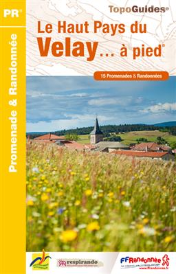
- Wandelgids P436 Le Haut Pays du Velay... Ă pied | FFRP
- Uitstekende routegids met gedetailleerde kaarten en een routebeschrijving. Fout lopen wordt op deze manier wel erg moeilijk. Met symbolen is weergegeven welke voorzieningen (openbaar vervoer / winkels / overnachtingen) er zijn langs of bij de route. Een nadeel is dat de daadwerkelijke adressen dan weer niet altijd genoemd worden. Alle gidsen... Read more
- Also available from:
- Stanfords, United Kingdom

United Kingdom
2015
- Le Haut Pays du Velay Ă pied FFRP Topo-guide No. P436
- Le Haut Pays du Velay à pied, FFRP topo-guide Ref. No. P436, with 15 day walks of varying length and difficulty. Each walk is presented on a separate colour extract from IGN’s topographic survey of France at 1:25,000, with its description cross-referenced to the map. Current edition of this title was published in June 2015.To see the list of... Read more
Netherlands
2004
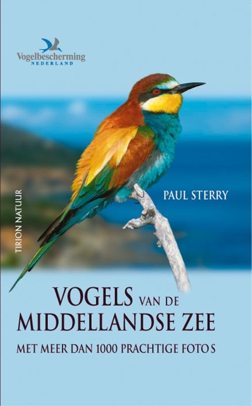
- Vogelgids - Natuurgids Vogels van de Middellandse Zee | Tirion
- Deze unieke en innovatieve fotogids toont alle soorten vogels die voorkomen in de landen rond de Middellandse Zee. Dit gebied bevat een rijke varieteit aan biotopen waar veel karakteristieke en tot de verbeelding sprekende vogelsoorten voorkomen. Het boek is geillustreerd met meer dan 1000 prachtige kleurenfoto's die de specifieke eigenschappen... Read more
Netherlands
2020
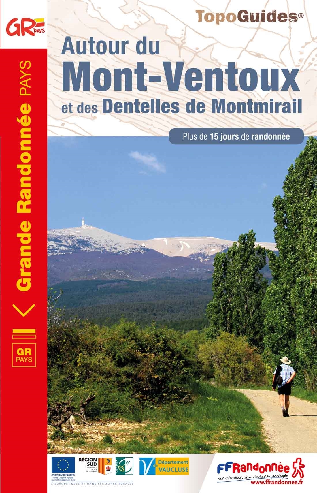
- Wandelgids 8400 Autour du Mont-Ventoux et des dentelles de Montmirail | FFRP
- Le Pays du Ventoux à pied, FFRP topo-guide Ref. No. P841, with 45 day walks in the environs of Mont Ventoux, north-east and east of Carpentras. Each day walk is presented on a separate colour extract from IGN’s topographic survey of France at 1:25,000, with its description cross-referenced to the map. Current edition of this title was published... Read more
- Also available from:
- Stanfords, United Kingdom

United Kingdom
2020
- Autour du Mont-Ventoux et des Dentelles de Montmirail
- Le Pays du Ventoux à pied, FFRP topo-guide Ref. No. P841, with 45 day walks in the environs of Mont Ventoux, north-east and east of Carpentras. Each day walk is presented on a separate colour extract from IGN’s topographic survey of France at 1:25,000, with its description cross-referenced to the map. Current edition of this title was published... Read more
Netherlands
2015
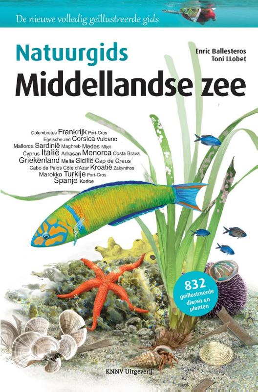
- Opruiming - Natuurgids Middellandse zee | KNNV Uitgeverij
- Ontdek de flora en fauna van de Middellandse zee. Deze prachtige natuur- en reisgids beschrijft de mooiste hotspots, biotopen en meer dan 800 soorten planten en dieren. Boordevol schitterende illustraties, achtergrondinformatie en observatietips voor herkenning langs de kust, op het strand, vanaf een schip, of in het water, snorkelend of... Read more
.jpg)
Netherlands
2012
- Reisgids Het land der Katharen | Aspekt
- Al direct bij de eerste luxe uitgave van Het land der Katharen was het duidelijk dat we hier te maken hadden met een standaardwerk. Centraal staat het even intrigerende als meeslepende drama van de Kathaarse cultuur, welke ooit grote delen van Frankrijk besloeg. Onder druk van koningen en kerk werden de Katharen als ketterse gemeenschap... Read more
Netherlands
2018
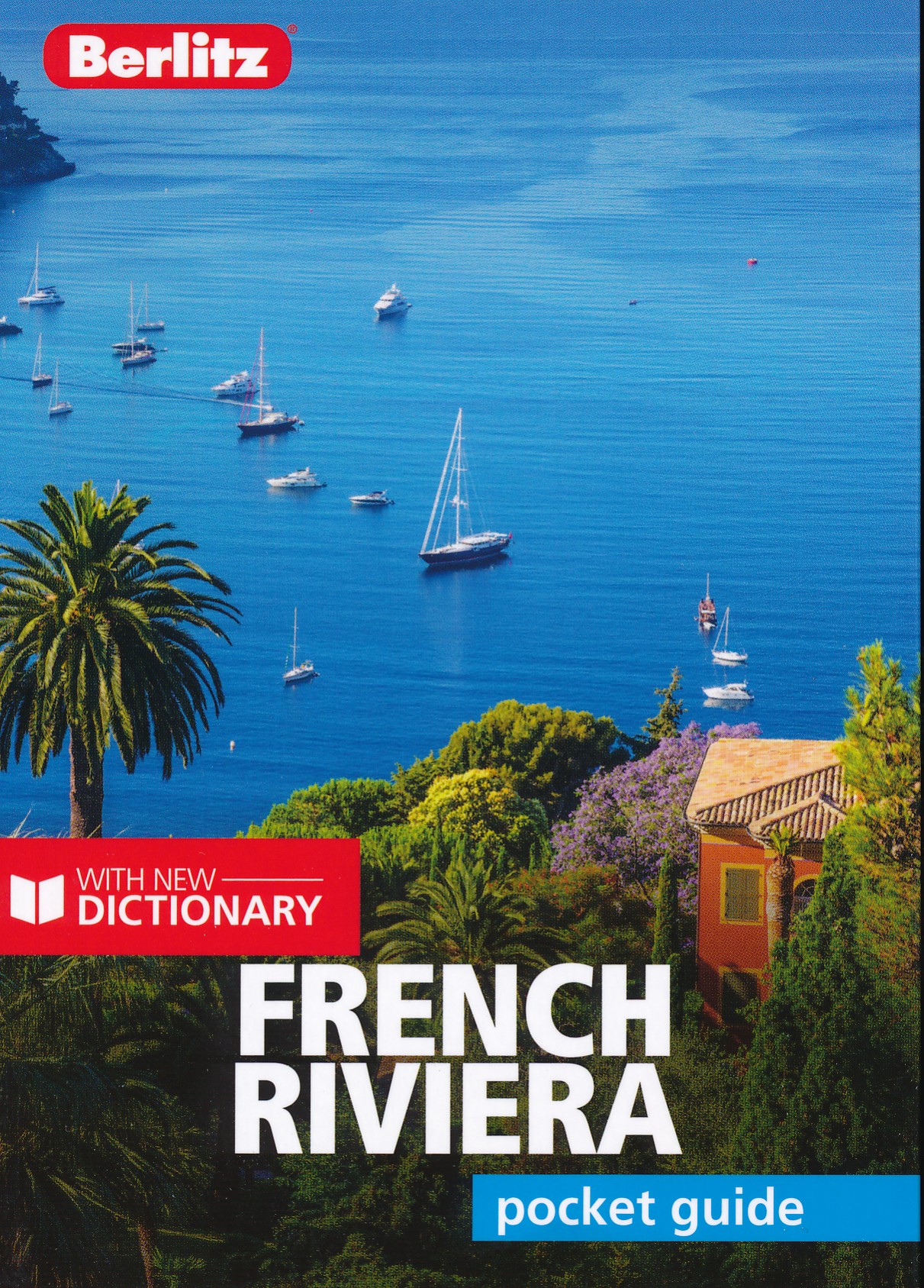
- Reisgids Pocket Guide French Riviera | Berlitz
- French Riviera Pocket Guide Berlitz is een handzaam engelstalige reisgids met bezienswaardigheden, kaartjes, hotels en restaurants Berlitz Pocket Guide French Riviera is a concise, full-colour travel guide that combines lively text with vivid photography to highlight the best places to visit and things to do along this elegant stretch of the... Read more
Netherlands
2015
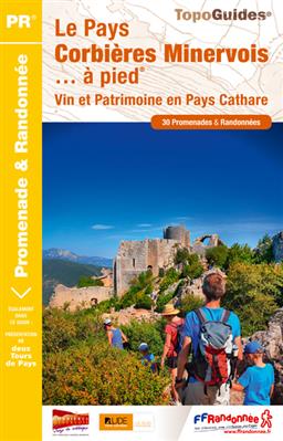
- Wandelgids P116 Pays Corbières Minerovois à pied 30PR en pays cathare | FFRP
- Guide FFRandonnée Le pays corbières minervois. En complément des autres topo-guides de pays de l'Aude : réf. P112 'La Haute-Vallée de l'Aude... à pied', P113 'Le Pays de la Narbonnaise... à pied', P114 'Le Pays Carcassonnais... à pied' et P115 'Le Pays Lauragais... à pied'.Collines ensoleillées et vallons ombragés, vignes, oliviers, garrigues,... Read more
- Also available from:
- Stanfords, United Kingdom

United Kingdom
2015
- Pays Corbières Minerovois à pied FFRP Topo-guide No. P116
- Pays Corbières Minerovois à pied, FFRP topo-guide Ref. No.P116, with 30 day walks of varying length and difficulty in the Pay Cathare area of the eastern Pyrenees, south-east of Carcassonne. Each walk is presented on a separate colour extract from IGN’s topographic survey of France at 1:25,000, with its description cross-referenced to the map.... Read more
Kaarten

Netherlands
2021
Netherlands
2015
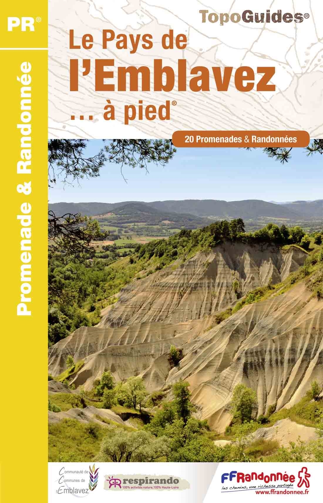
- Wandelgids P433 Le Pays de l'Emblavez Ă pied | FFRP
- FFR Le Pays de l'Emblavez à pied (P433)Au nord du Puy-en-Velay, sucs volcaniques et villages aux toits de lauzes. Nouvelle édition refonte 2015. Read more
- Also available from:
- Stanfords, United Kingdom

United Kingdom
2015
- Le Pays de l`Emblavez Ă pied FFRP Topo-guide No. P433
- Le Pays de l`Emblavez à pied, FFRP topo-guide Ref. No. P433, with 20 day walks of varying length and difficulty in the hills north of Le Puy-en-Velay. Each walk is presented on a separate colour extract from IGN’s topographic survey of France at 1:25,000, with its description cross-referenced to the map. Current edition of this title was... Read more
Netherlands
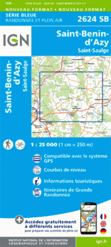
- Wandelkaart - Topografische kaart 2624SB St-Benin-D'Azy - St-Saulge | IGN - Institut GĂ©ographique National
- St-Benin-d'Azy - St-SaulgeEntre 2014 et 2018, l?IGN renouvelle l?intégralité de sa collection SERIE BLEUE. Read more
- Also available from:
- Stanfords, United Kingdom

United Kingdom
- Saint-Benin-d`Azy - Saint-Saulge IGN 25K SĂ©rie Bleue Map 2624SB
- Topographic survey of France at 1:25,000 in IGN`s excellent TOP25 / Série Bleue series. All the maps are GPS compatible, with a 1km UTM grid plus latitude and longitude lines at 5’ intervals. Contours are at 5m intervals except for mountainous areas where the maps have contours at 10m intervals, vividly enhanced by hill shading and graphics for... Read more
Netherlands
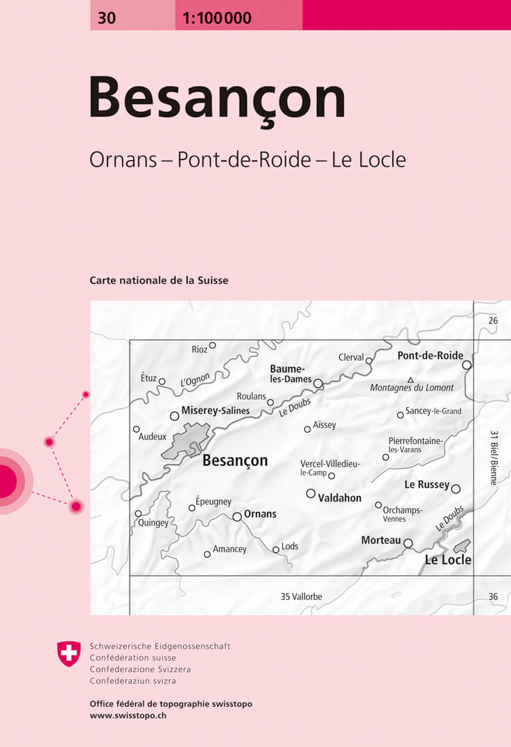
- Fietskaart - Topografische kaart - Wegenkaart - landkaart 30 Besançon | Swisstopo
- Swiss topographic survey at 1:100,000 from Swisstopo, highly regarded for it superb use of graphic relief and hill shading, presenting an almost 3-D picture of the country`s mountainous terrain. Coverage is available either as small size standard sheets – Nos 26 to 48, each covering 70 x 48 km / 43 x 30 miles approx, or as larger size maps -... Read more
- Also available from:
- Stanfords, United Kingdom

United Kingdom
- Besançon Swisstopo 30
- Swiss topographic survey at 1:100,000 from Swisstopo, highly regarded for it superb use of graphic relief and hill shading, presenting an almost 3-D picture of the country`s mountainous terrain. Coverage is available either as small size standard sheets – Nos 26 to 48, each covering 70 x 48 km / 43 x 30 miles approx, or as larger size maps -... Read more
Netherlands
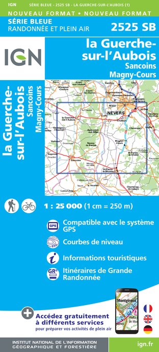
- Wandelkaart - Topografische kaart 2525SB La Guerche-sur-l'Aubois, Sancoins, Magny-Cours | IGN - Institut GĂ©ographique National
- Topographic survey of France at 1:25,000 in IGN's excellent TOP25 / S Read more
- Also available from:
- Stanfords, United Kingdom

United Kingdom
- La Guerche-sur-l`Aubois - Sancoins - Magny-Cours IGN 25K SĂ©rie Bleue Map 2525SB
- Topographic survey of France at 1:25,000 in IGN`s excellent TOP25 / Série Bleue series. All the maps are GPS compatible, with a 1km UTM grid plus latitude and longitude lines at 5’ intervals. Contours are at 5m intervals except for mountainous areas where the maps have contours at 10m intervals, vividly enhanced by hill shading and graphics for... Read more
Netherlands
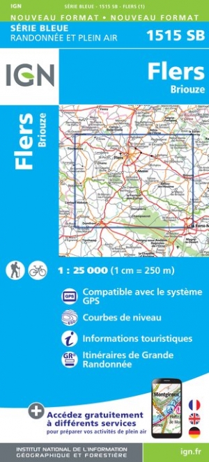
- Wandelkaart - Topografische kaart 1515SB Flers | IGN - Institut GĂ©ographique National
- Topographic survey of France at 1:25,000 in IGN`s excellent TOP25 / Série Bleue series. All the maps are GPS compatible, with a 1km UTM grid plus latitude and longitude lines at 5’ intervals. Contours are at 5m intervals except for mountainous areas where the maps have contours at 10m intervals, vividly enhanced by hill shading and graphics for... Read more
- Also available from:
- Stanfords, United Kingdom

United Kingdom
- Flers - Briouze IGN 1515SB
- Topographic survey of France at 1:25,000 in IGN`s excellent TOP25 / Série Bleue series. All the maps are GPS compatible, with a 1km UTM grid plus latitude and longitude lines at 5’ intervals. Contours are at 5m intervals except for mountainous areas where the maps have contours at 10m intervals, vividly enhanced by hill shading and graphics for... Read more
Netherlands
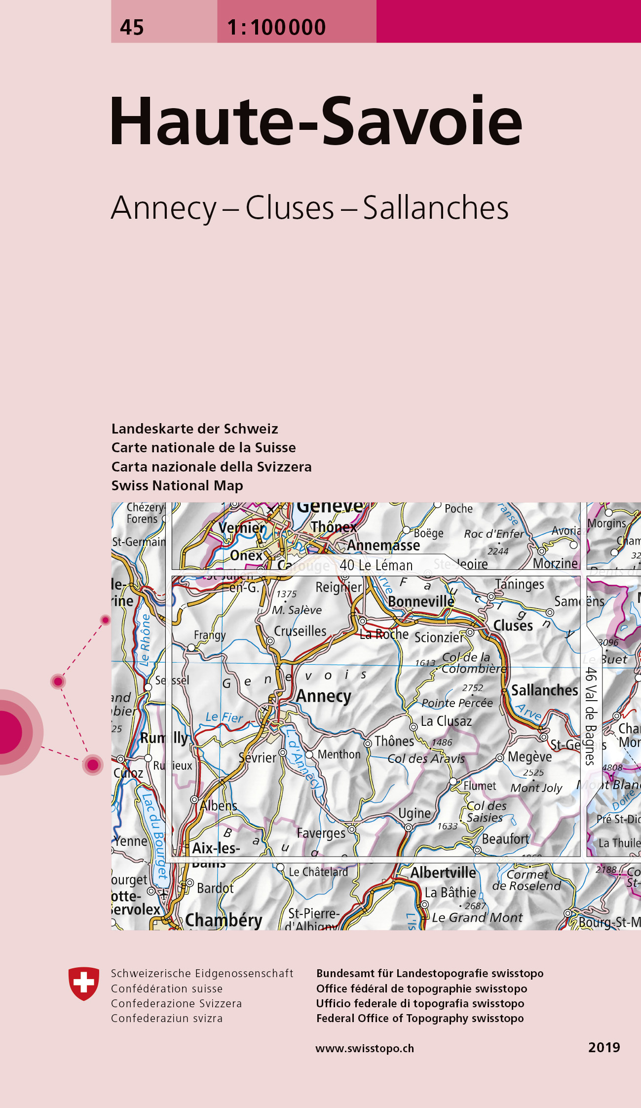
- Fietskaart - Topografische kaart - Wegenkaart - landkaart 45 Haute-Savoie | Swisstopo
- Map No. 45, Haute-Savoie, in the Swiss topographic survey at 1:100,000 published in 23 standard sheets (Nos. 26 - 48), with special larger maps centred on popular tourist destinations (Nos. 101 - 111). Swiss survey maps are highly regarded for their superb use of graphic relief and hill shading, presenting an almost 3-D picture of the country's... Read more
- Also available from:
- Stanfords, United Kingdom

United Kingdom
- Haute-Savoie Swisstopo 45
- Swiss topographic survey at 1:100,000 from Swisstopo, highly regarded for it superb use of graphic relief and hill shading, presenting an almost 3-D picture of the country`s mountainous terrain. Coverage is available either as small size standard sheets – Nos 26 to 48, each covering 70 x 48 km / 43 x 30 miles approx, or as larger size maps -... Read more
Netherlands
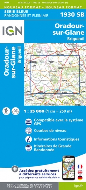
- Wandelkaart - Topografische kaart 1930SB Oradour-sur-Glane | IGN - Institut GĂ©ographique National
- Topographic survey of France at 1:25,000 in IGN`s excellent TOP25 / Série Bleue series. All the maps are GPS compatible, with a 1km UTM grid plus latitude and longitude lines at 5’ intervals. Contours are at 5m intervals except for mountainous areas where the maps have contours at 10m intervals, vividly enhanced by hill shading and graphics for ... Read more
Netherlands
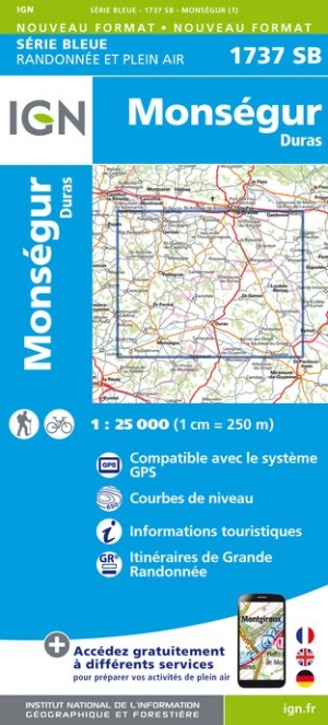
- Wandelkaart - Topografische kaart 1737SB Monségur | IGN - Institut Géographique National
- Topographic survey of France at 1:25,000 in IGN`s excellent TOP25 / Série Bleue series. All the maps are GPS compatible, with a 1km UTM grid plus latitude and longitude lines at 5’ intervals. Contours are at 5m intervals except for mountainous areas where the maps have contours at 10m intervals, vividly enhanced by hill shading and graphics for ... Read more
Netherlands
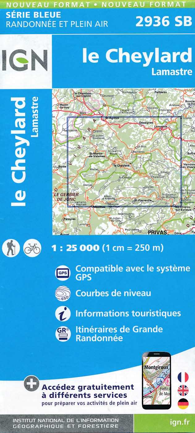
- Topografische kaart - Wandelkaart 2936SB le Cheylard | IGN - Institut GĂ©ographique National
- Topographic survey of France at 1:25,000 in IGN`s excellent TOP25 / Série Bleue series. All the maps are GPS compatible, with a 1km UTM grid plus latitude and longitude lines at 5’ intervals. Contours are at 5m intervals except for mountainous areas where the maps have contours at 10m intervals, vividly enhanced by hill shading and graphics for... Read more
- Also available from:
- Stanfords, United Kingdom

United Kingdom
- Le Cheylard - Lamastre IGN 25K SĂ©rie Bleue Map 2936SB
- Topographic survey of France at 1:25,000 in IGN`s excellent TOP25 / Série Bleue series. All the maps are GPS compatible, with a 1km UTM grid plus latitude and longitude lines at 5’ intervals. Contours are at 5m intervals except for mountainous areas where the maps have contours at 10m intervals, vividly enhanced by hill shading and graphics for... Read more

Netherlands
- Wandelkaart - Topografische kaart 1441SB Morcenx | IGN - Institut GĂ©ographique National
- Topographic survey of France at 1:25,000 in IGN`s excellent TOP25 / Série Bleue series. All the maps are GPS compatible, with a 1km UTM grid plus latitude and longitude lines at 5’ intervals. Contours are at 5m intervals except for mountainous areas where the maps have contours at 10m intervals, vividly enhanced by hill shading and graphics for ... Read more