De Zwerver
Netherlands
2016
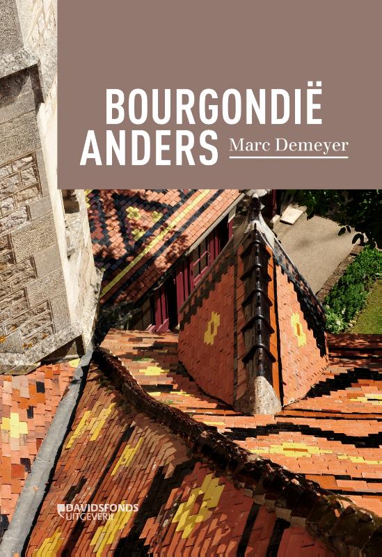
- Reisgids Bourgondië anders | Davidsfonds
- De informatieve bruine borden langsheen de 'Autoroute du Soleil' met de geruststellende boodschap 'Vous êtes en Bourgogne' klinken vertrouwd. Gaan wij er niet prat op 'bourgondiërs' te zijn? Zien we de hertogen van Bourgondië niet defileren doorheen de meest roemrijke bladzijden van onze 'vaderlandse geschiedenis'? Om nog maar te zwijgen van de... Read more