De Zwerver
Netherlands
2020
Netherlands
2020
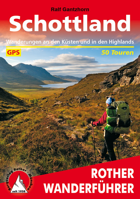
- Wandelgids Schottland - Schotland | Rother Bergverlag
- Uitstekende wandelgids met een groot aantal dagtochten in dal en hooggebergte. Met praktische informatie en beperkt kaartmateriaal! Wandelingen in verschillende zwaarte weergegeven in rood/blauw/zwart Denkt man an Schottland, hat man die Highlands vor Augen - grüne Hügel, felsige Kämme, tiefe Seen. Das wechselhafte Wetter sorgt für dramatische... Read more