De Zwerver
Netherlands
2022
De Zwerver
Netherlands
2008
De Zwerver
Netherlands
2021
» Click to open
Stanfords
United Kingdom
2021
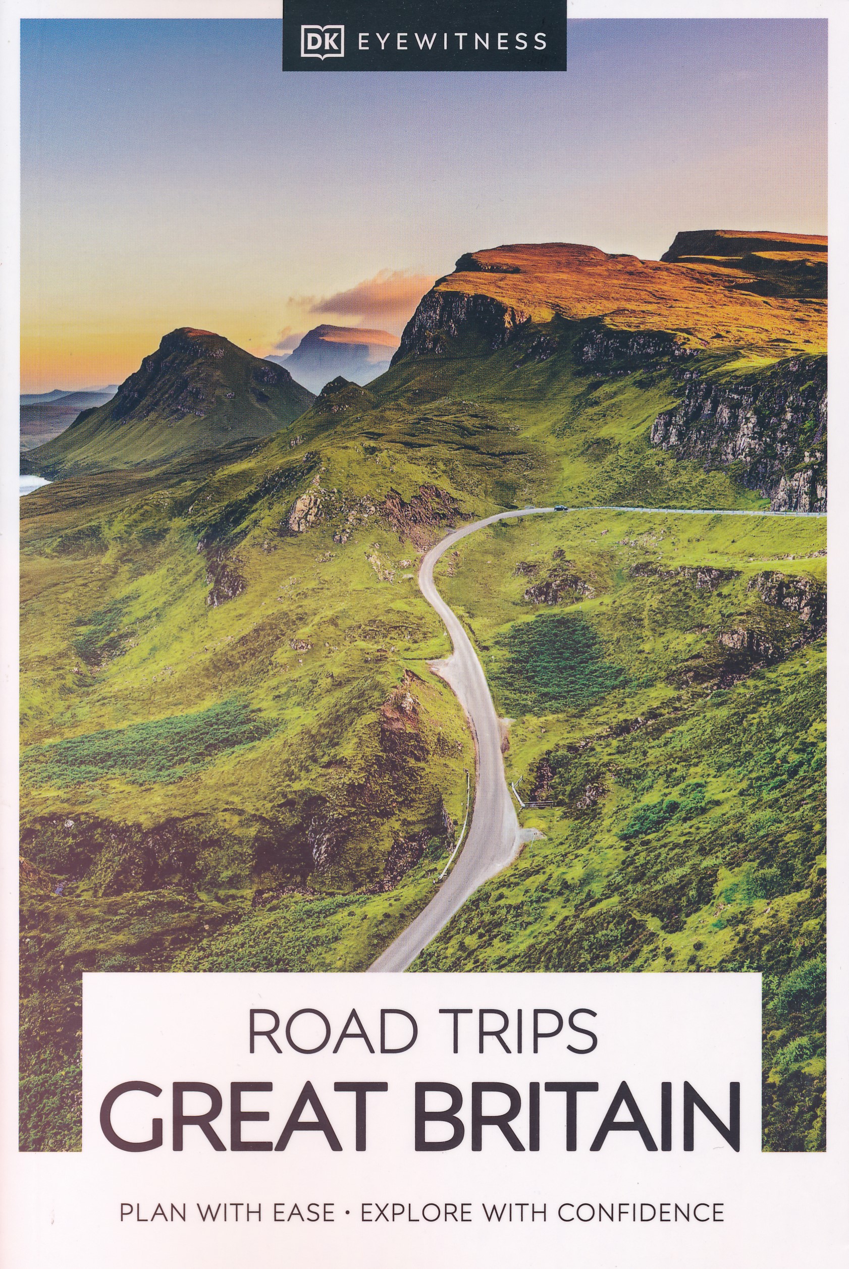
  • DK Eyewitness Road Trips Great Britain
  • With its idyllic market towns, romantic castle ruins and stunning natural landscapes, Great Britain is the perfect destination for a leisurely road trip. It`s yours to explore with Road Trips Great Britain, which contains 25 drives across the country, from the sweeping sandy beaches of Cornwall to the dramatic peaks of the Scottish... Read more
» Click to close
De Zwerver
Netherlands
2019
De Zwerver
Netherlands
2021
» Click to open
Stanfords
United Kingdom
2021
  • Walking in the North Wessex Downs: 30 walks exploring the AONB
  • Guidebook to 30 circular walks in the North Wessex Downs Area of Outstanding Natural Beauty (AONB). The routes, which range from 7 to 21km (4 to 13 miles), take in parts of four counties - Berkshire, Hampshire, Wiltshire and Oxfordshire.The North Wessex Downs are accessible hills rising above the towns and rural plains of southern England and... Read more
» Click to close
De Zwerver
Netherlands
2023
De Zwerver
Netherlands
» Click to open
Stanfords
United Kingdom
  • Aylesbury, Leighton Buzzard, Thame & Berkhamsted OS Landranger Map 165 (paper)
  • Aylesbury, Leighton Buzzard and Thame area, including Chiltern Hills with part of the Ridgeway, on a paper version of map No. 165 from the Ordnance Survey’s Landranger series at 1:50,000, with contoured and GPS compatible topographic mapping plus tourist information.MOBILE DOWNLOADS: As well as the physical edition of the map, each Landranger... Read more
» Click to close
De Zwerver
Netherlands
» Click to open
Stanfords
United Kingdom
  • Kettering, Corby, Market Harborough & Stamford OS Landranger Map 141 (paper)
  • The area around Kettering, Corby, Market Harborough and Stamford, including Rockingham Forest and part of the E2 European Long-distance Path, on a paper version of map No. 141 from the Ordnance Survey’s Landranger series at 1:50,000, with contoured and GPS compatible topographic mapping plus tourist information.MOBILE DOWNLOADS: As well as the... Read more
» Click to close
De Zwerver
Netherlands
» Click to open
Stanfords
United Kingdom
  • Birmingham, Wolverhampton & The Black Country OS Landranger Map 139 (paper)
  • Birmingham with the surrounding area including the Black Country, Wolverhampton, Walsall, Solihull, Stourbridge, Bromsgrove and a section of the E2 European Long-distance Path on a paper version of map No. 139 from the Ordnance Survey’s Landranger series at 1:50,000, with contoured and GPS compatible topographic mapping plus tourist... Read more
» Click to close
De Zwerver
Netherlands
De Zwerver
Netherlands
» Click to open
Stanfords
United Kingdom
  • Reading & Windsor - Henley-on-Thames & Bracknell OS Landranger Map 175 (paper)
  • Reading – Windsor area, including a section of the Thames Path / E2 European Long-distance Path, on a paper version of map No. 175 from the Ordnance Survey’s Landranger series at 1:50,000, with contoured and GPS compatible topographic mapping plus tourist information.MOBILE DOWNLOADS: As well as the physical edition of the map, each Landranger... Read more
» Click to close
Bol.com
Netherlands
» Click to open
Bol.com
Belgium
  • Trailblazer The Ridgeway
  • Practical guide to walking the whole of the Ridgeway National Trail. The Ridgeway path begins near Avebury and runs 87 miles across the high chalk downs of Wiltshire, into the Thames Valley and on to the Chiltern Hills of Buckinghamshire, finishing at Ivinghoe Beacon near Aylesbury. Includes: Ridgeway map, 53 large-scale maps (1:20,000), guides... Read more
» Click to close
Bol.com
Netherlands
» Click to open
Bol.com
Belgium
  • Wondering the Thames
  • The author walked the length of the Thames River in England from its source in rural Gloucestershire to the flood barrier in London. Along the way, solitude enhanced curiosity and big questions kept popping up. Where are all the annoying bugs? How could a clergyman afford a house this big? What is Coade stone? Does this river flood? Why were... Read more
» Click to close
De Zwerver
Netherlands
2006
» Click to open
Bol.com
Netherlands
2006
  • Schwarzwald - Vogesen
  • Die schönsten und spannendsten Wanderberge im Schwarzwald und in den Vogesen präsentiert dieser Führer in einer Auswahl von 50 Wandervorschlägen für jede Kondition. Vom alpinen Steig am Feldberg, der höchsten Erhebung der deutschen Mittelgebirge, spannt sich der Bogen bis zum Grand Ballon, dem höchsten Berg der Vogesen, vom Belchen als dem... Read more
Bol.com
Belgium
2006
  • Schwarzwald - Vogesen
  • Die schönsten und spannendsten Wanderberge im Schwarzwald und in den Vogesen präsentiert dieser Führer in einer Auswahl von 50 Wandervorschlägen für jede Kondition. Vom alpinen Steig am Feldberg, der höchsten Erhebung der deutschen Mittelgebirge, spannt sich der Bogen bis zum Grand Ballon, dem höchsten Berg der Vogesen, vom Belchen als dem... Read more
» Click to close
Bol.com
Netherlands
» Click to open
Bol.com
Belgium
  • London - Land's End Cycle Route
  • This king of guidebooks takes you onto a unique trail of traffic-calmed cycle routes in southern England from London to Land's End; ideal if you love cycling, but don't like traffic! A variety of landscapes, a high density of famous English landmarks and word-class cycle routes like the Bristol and Bath Railway Path, Camel Trail, Devon Coast to... Read more
» Click to close