De Zwerver
Netherlands
2021
» Click to open
Stanfords
United Kingdom
2021
  • DK Eyewitness Road Trips Great Britain
  • With its idyllic market towns, romantic castle ruins and stunning natural landscapes, Great Britain is the perfect destination for a leisurely road trip. It`s yours to explore with Road Trips Great Britain, which contains 25 drives across the country, from the sweeping sandy beaches of Cornwall to the dramatic peaks of the Scottish... Read more
» Click to close
De Zwerver
Netherlands
2023
De Zwerver
Netherlands
2022
De Zwerver
Netherlands
2022
De Zwerver
Netherlands
2021
» Click to open
Stanfords
United Kingdom
2021
» Click to close
De Zwerver
Netherlands
2020
De Zwerver
Netherlands
2021
» Click to open
Stanfords
United Kingdom
2021
» Click to close
De Zwerver
Netherlands
2023
De Zwerver
Netherlands
2015
» Click to open
Stanfords
United Kingdom
2015
» Click to close
De Zwerver
Netherlands
» Click to open
Stanfords
United Kingdom
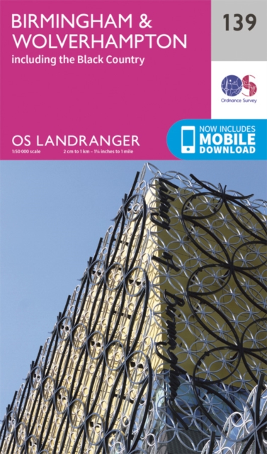
  • Birmingham, Wolverhampton & The Black Country OS Landranger Map 139 (paper)
  • Birmingham with the surrounding area including the Black Country, Wolverhampton, Walsall, Solihull, Stourbridge, Bromsgrove and a section of the E2 European Long-distance Path on a paper version of map No. 139 from the Ordnance Survey’s Landranger series at 1:50,000, with contoured and GPS compatible topographic mapping plus tourist... Read more
» Click to close
De Zwerver
Netherlands
2022
De Zwerver
Netherlands
» Click to open
Stanfords
United Kingdom
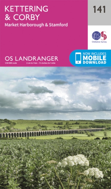
  • Kettering, Corby, Market Harborough & Stamford OS Landranger Map 141 (paper)
  • The area around Kettering, Corby, Market Harborough and Stamford, including Rockingham Forest and part of the E2 European Long-distance Path, on a paper version of map No. 141 from the Ordnance Survey’s Landranger series at 1:50,000, with contoured and GPS compatible topographic mapping plus tourist information.MOBILE DOWNLOADS: As well as the... Read more
» Click to close
De Zwerver
Netherlands
» Click to open
Stanfords
United Kingdom
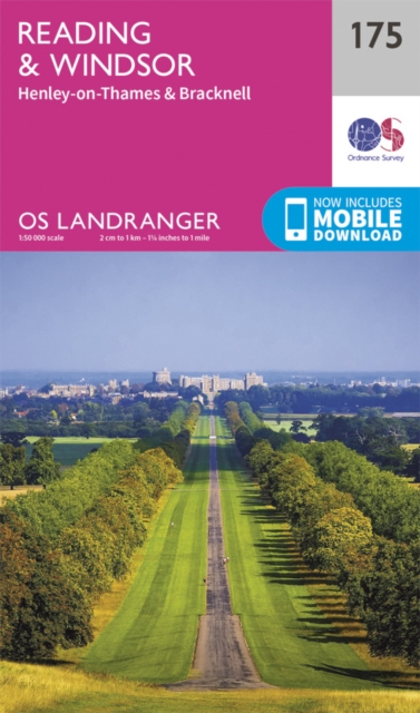
  • Reading & Windsor - Henley-on-Thames & Bracknell OS Landranger Map 175 (paper)
  • Reading – Windsor area, including a section of the Thames Path / E2 European Long-distance Path, on a paper version of map No. 175 from the Ordnance Survey’s Landranger series at 1:50,000, with contoured and GPS compatible topographic mapping plus tourist information.MOBILE DOWNLOADS: As well as the physical edition of the map, each Landranger... Read more
» Click to close
De Zwerver
Netherlands
2022
De Zwerver
Netherlands