De Zwerver
Netherlands
2021
Netherlands
2021
- Reisverhaal Walking the Great North Line | Robert Twigger
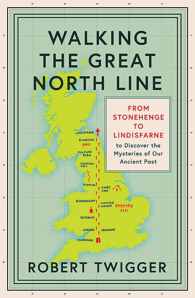
- Robert Twigger, poet and travel author, was in search of a new way up England when he stumbled across the Great North Line. From Christchurch on the South Coast to Old Sarum to Stonehenge, to Avebury, to Notgrove barrow, to Meon Hill in the midlands, to Thor`s Cave, to Arbor Low stone circle, to Mam Tor, to Ilkley in Yorkshire and its three... Read more
- Also available from:
- Stanfords, United Kingdom

Stanfords
United Kingdom
2021
United Kingdom
2021
- Walking the Great North Line: From Stonehenge to Lindisfarne to Discover the Mysteries of Our Ancient Past
- Robert Twigger, poet and travel author, was in search of a new way up England when he stumbled across the Great North Line. From Christchurch on the South Coast to Old Sarum to Stonehenge, to Avebury, to Notgrove barrow, to Meon Hill in the midlands, to Thor`s Cave, to Arbor Low stone circle, to Mam Tor, to Ilkley in Yorkshire and its three... Read more