Stanfords
United Kingdom
United Kingdom
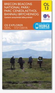
- Brecon Beacons Eastern OS Explorer Active Map OL13 (waterproof)
- The eastern part of the Brecon Beacons National Park on a detailed topographic and GPS compatible map OL13, waterproof version, from the Ordnance Survey’s 1:25,000 Explorer series. Coverage includes Tredegar, Ebbw Vale, Abergavenny, Hay-on-Wye, the Black Mountains, Llangorse Lake, Sugar Loaf, Black Hill, Hay Bluff, sections of the Offa’s Dyke... Read more
- Also available from:
- The Book Depository, United Kingdom
» Click to close


