De Zwerver
Netherlands
2021
De Zwerver
Netherlands
2019
De Zwerver
Netherlands
2021
De Zwerver
Netherlands
2015
» Click to open
Stanfords
United Kingdom
2015
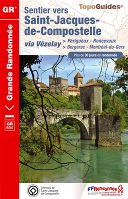
  • GR654 Sentier St-Jacques: Perigueux - Roncevaux FFRP Topo-guide No. 6543
  • Sentier St-Jacques: Perigueux - Roncevaux, FFRP topoguide Ref. no. 6543, covering the second part of the Way of St James route along the GR654 which starts in Vézelay, the section from Perigueux to the Pyrenees. Also covered is an eastern route from Bergerac to Montréal-de-Gers. Current edition of this title was published in June 2014.ABOUT THE... Read more
» Click to close
De Zwerver
Netherlands
2019
De Zwerver
Netherlands
2019
De Zwerver
Netherlands
2016
De Zwerver
Netherlands
» Click to open
Stanfords
United Kingdom
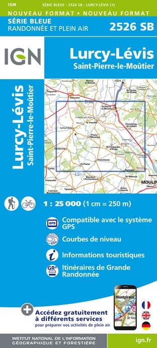
  • Lurcy-Levis - Saint-Pierre-le-Moutier IGN 25K Série Bleue Map 2526SB
  • Topographic survey of France at 1:25,000 in IGN`s excellent TOP25 / Série Bleue series. All the maps are GPS compatible, with a 1km UTM grid plus latitude and longitude lines at 5’ intervals. Contours are at 5m intervals except for mountainous areas where the maps have contours at 10m intervals, vividly enhanced by hill shading and graphics for... Read more
» Click to close
De Zwerver
Netherlands
» Click to open
Stanfords
United Kingdom
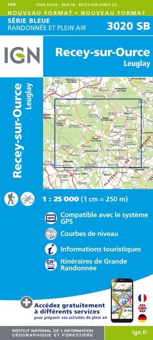
  • Recey-sur-Ource - Leuglay IGN 3020SB
  • Topographic survey of France at 1:25,000 in IGN`s excellent TOP25 / Série Bleue series. All the maps are GPS compatible, with a 1km UTM grid plus latitude and longitude lines at 5’ intervals. Contours are at 5m intervals except for mountainous areas where the maps have contours at 10m intervals, vividly enhanced by hill shading and graphics for... Read more
» Click to close
De Zwerver
Netherlands
» Click to open
Stanfords
United Kingdom
  • Arnay-le-Duc - Epinac IGN 2924SB
  • Topographic survey of France at 1:25,000 in IGN`s excellent TOP25 / Série Bleue series. All the maps are GPS compatible, with a 1km UTM grid plus latitude and longitude lines at 5’ intervals. Contours are at 5m intervals except for mountainous areas where the maps have contours at 10m intervals, vividly enhanced by hill shading and graphics for... Read more
» Click to close
De Zwerver
Netherlands
» Click to open
Stanfords
United Kingdom
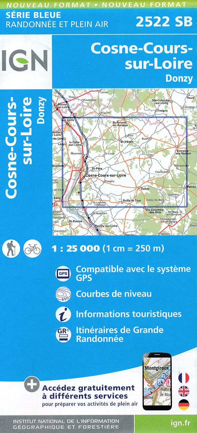
  • Cosne - Cours-sur-Loire - Donzy IGN 25K Série Bleue Map 2522SB
  • Topographic survey of France at 1:25,000 in IGN`s excellent TOP25 / Série Bleue series. All the maps are GPS compatible, with a 1km UTM grid plus latitude and longitude lines at 5’ intervals. Contours are at 5m intervals except for mountainous areas where the maps have contours at 10m intervals, vividly enhanced by hill shading and graphics for... Read more
» Click to close
De Zwerver
Netherlands
» Click to open
Stanfords
United Kingdom
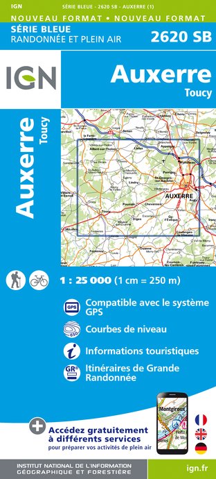
  • Auxerre - Toucy IGN 2620SB
  • Topographic survey of France at 1:25,000 in IGN`s excellent TOP25 / Série Bleue series. All the maps are GPS compatible, with a 1km UTM grid plus latitude and longitude lines at 5’ intervals. Contours are at 5m intervals except for mountainous areas where the maps have contours at 10m intervals, vividly enhanced by hill shading and graphics for... Read more
» Click to close
De Zwerver
Netherlands
» Click to open
Stanfords
United Kingdom
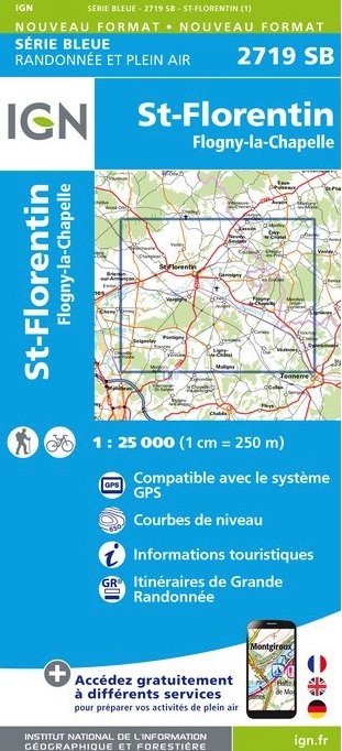
  • Saint-Florentin - Flogny-la-Chapelle IGN 25K Série Bleue Map 2719SB
  • Topographic survey of France at 1:25,000 in IGN`s excellent TOP25 / Série Bleue series. All the maps are GPS compatible, with a 1km UTM grid plus latitude and longitude lines at 5’ intervals. Contours are at 5m intervals except for mountainous areas where the maps have contours at 10m intervals, vividly enhanced by hill shading and graphics for... Read more
» Click to close
De Zwerver
Netherlands
» Click to open
Stanfords
United Kingdom
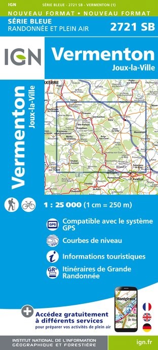
  • Vermenton - Joux-la-Ville IGN 2721SB
  • Topographic survey of France at 1:25,000 in IGN`s excellent TOP25 / Série Bleue series. All the maps are GPS compatible, with a 1km UTM grid plus latitude and longitude lines at 5’ intervals. Contours are at 5m intervals except for mountainous areas where the maps have contours at 10m intervals, vividly enhanced by hill shading and graphics for... Read more
» Click to close
De Zwerver
Netherlands
» Click to open
Stanfords
United Kingdom
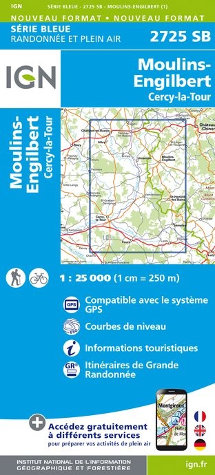
  • Moulins-Engilbert - Cergy-la-Tour IGN 25K Série Bleue Map 2725SB
  • Topographic survey of France at 1:25,000 in IGN`s excellent TOP25 / Série Bleue series. All the maps are GPS compatible, with a 1km UTM grid plus latitude and longitude lines at 5’ intervals. Contours are at 5m intervals except for mountainous areas where the maps have contours at 10m intervals, vividly enhanced by hill shading and graphics for... Read more
» Click to close