De Zwerver
Netherlands
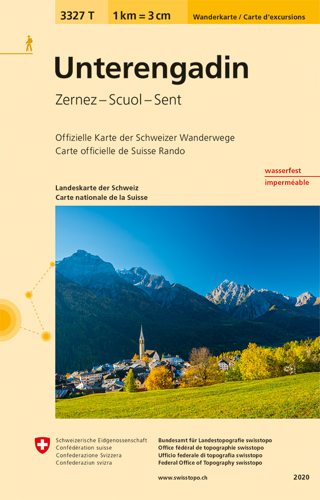
- Wandelkaart - Topografische kaart 3327T Unterengadin | Swisstopo
- Underengadin – the Lower Engadine Valley area at 1:33,333 on light, waterproof and tear-resistant map No. 3323T published by Swisstopo in cooperation with the Swiss Hiking Federation. Cartography is the same as in Swisstopo’s 50K hiking maps, simply enlarged to 1:33,333 for extra clarity but without additional information. The title includes a... Read more
De Zwerver
Netherlands

Stanfords
United Kingdom
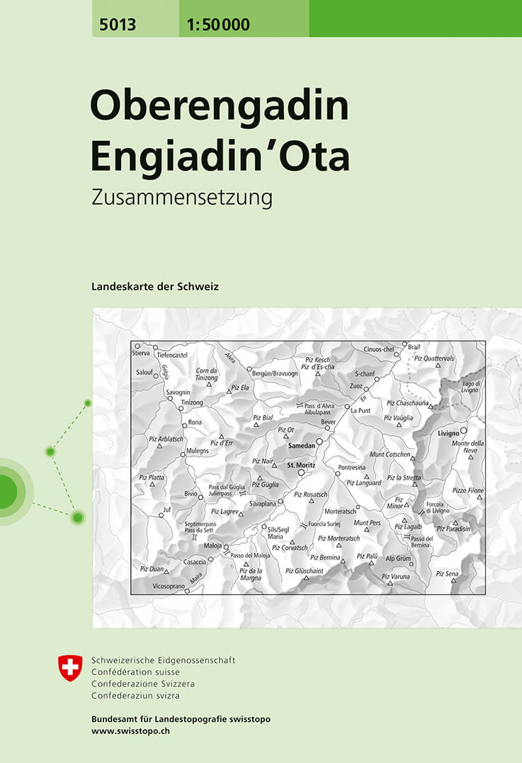
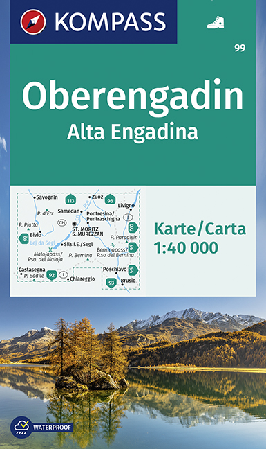
- Oberengadin / Upper Engadine Swisstopo 5013
- Oberengadin (Upper Engadine Valley), map No. 5013, in the standard topographic survey of Switzerland at 1:50,000 from Swisstopo, i.e. without the special overprint highlighting walking trails, local bus stops, etc, presented in Swisstopo’s hiking editions of the 50K survey. Highly regarded for their superb use of graphic relief and hill... Read more
De Zwerver
Netherlands

Stanfords
United Kingdom
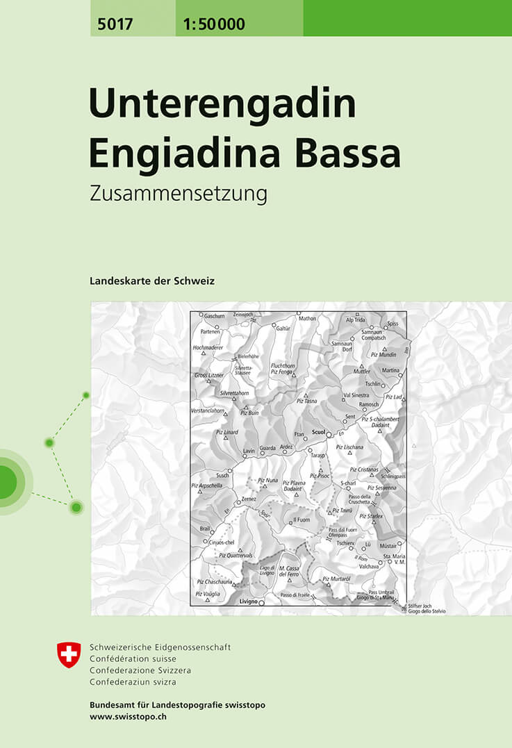
- Unterengadin / Lower Engadine Swisstopo 5017
- Unterengadin (Lower Engadine Valley), map No. 5017, in the standard topographic survey of Switzerland at 1:50,000 from Swisstopo, i.e. without the special overprint highlighting walking trails, local bus stops, etc, presented in Swisstopo’s hiking editions of the 50K survey. Highly regarded for their superb use of graphic relief and hill... Read more
De Zwerver
Netherlands
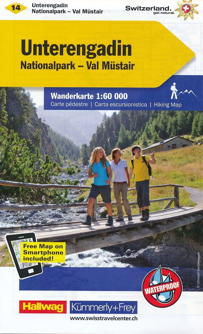
- Wandelkaart 14 Unterengadin | Kümmerly & Frey
- Zeer duidelijke wandelkaart van een deel van Zwitserland. Deze kaart - gemaakt op scheur en watervast papier - is bedoeld voor de gewone en gemiddelde bergwandelaar. Ook voor huttentochten is deze zeker geschikt. Slechts voor de gevorderde wandelaar die glesjers gaat overschrijden zijn de 25.000 topografische kaarten aan te raden. Op deze... Read more
De Zwerver
Netherlands
De Zwerver
Netherlands

Stanfords
United Kingdom
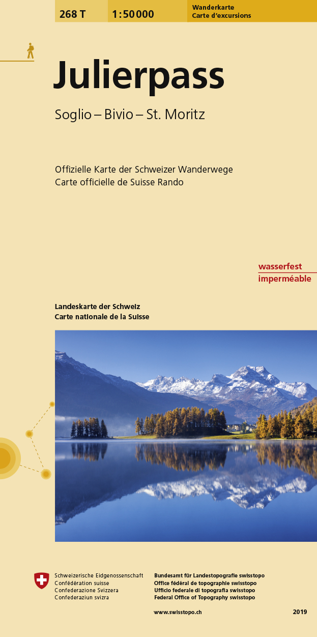
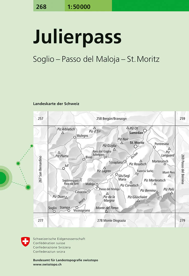
- Julierpass Swisstopo Hiking 268T
- Julierpass area, map No. 268T, at 1:50,000 in a special hiking edition of the country’s topographic survey, published by Swisstopo in cooperation with the Swiss Hiking Federation. Coverage includes the Upper Engadine Valley with St. Moritz and Pontresina, across the Maloja Pass the top part of Val Bregaglia, the peak of Piz Bernina,... Read more
De Zwerver
Netherlands
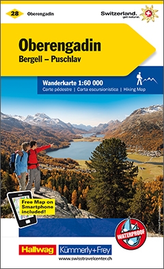
- Wandelkaart 28 Oberengadin | Kümmerly & Frey
- Zeer duidelijke wandelkaart van een deel van Zwitserland. Deze kaart - gemaakt op scheur en watervast papier - is bedoeld voor de gewone en gemiddelde bergwandelaar. Ook voor huttentochten is deze zeker geschikt. Slechts voor de gevorderde wandelaar die glesjers gaat overschrijden zijn de 25.000 topografische kaarten aan te raden. Op deze... Read more
De Zwerver
Netherlands
De Zwerver
Netherlands

Stanfords
United Kingdom
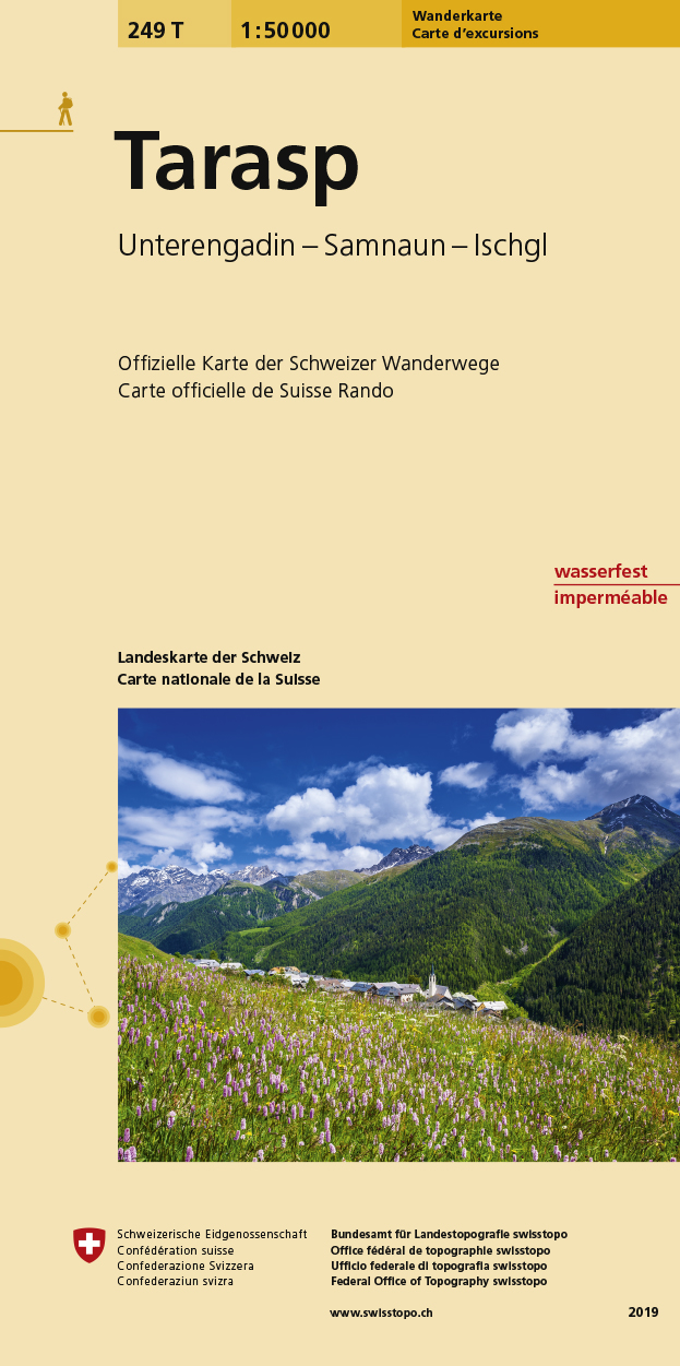
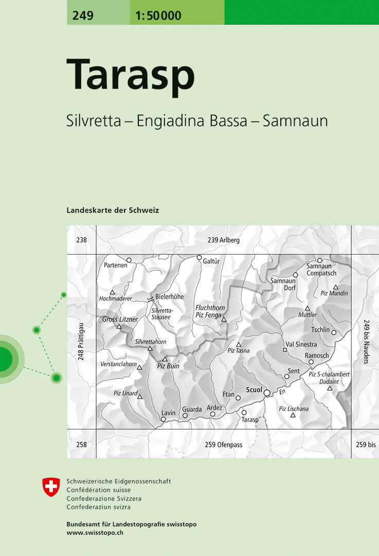
- Tarasp Swisstopo Hiking 249T
- Tarasp area, map No. 249T, at 1:50,000 in a special hiking edition of the country’s topographic survey, published by Swisstopo in cooperation with the Swiss Hiking Federation. Cartography, identical to the standard version of the survey, is highly regarded for its superb use of graphic relief and hill shading to provide an almost 3-D picture of... Read more
De Zwerver
Netherlands
Stanfords
United Kingdom
- Tarasp Swisstopo 249
- Tarasp, map No. 249, in the standard topographic survey of Switzerland at 1:50,000 from Swisstopo, i.e. without the special overprint highlighting walking trails, local bus stops, etc, presented in Swisstopo’s hiking editions of the 50K survey. The map covers the Lower Engadine Valley including Scuol, Flan and the peak of Silvretta.Highly... Read more
De Zwerver
Netherlands
Stanfords
United Kingdom
- Julierpass Swisstopo 268
- Julierpass, map No. 268, in the standard topographic survey of Switzerland at 1:50,000 from Swisstopo, i.e. without the special overprint highlighting walking trails, local bus stops, etc, presented in Swisstopo’s hiking editions of the 50K survey. Coverage includes the Upper Engadine Valley with St. Moritz and Pontresina, across the Maloja... Read more
De Zwerver
Netherlands
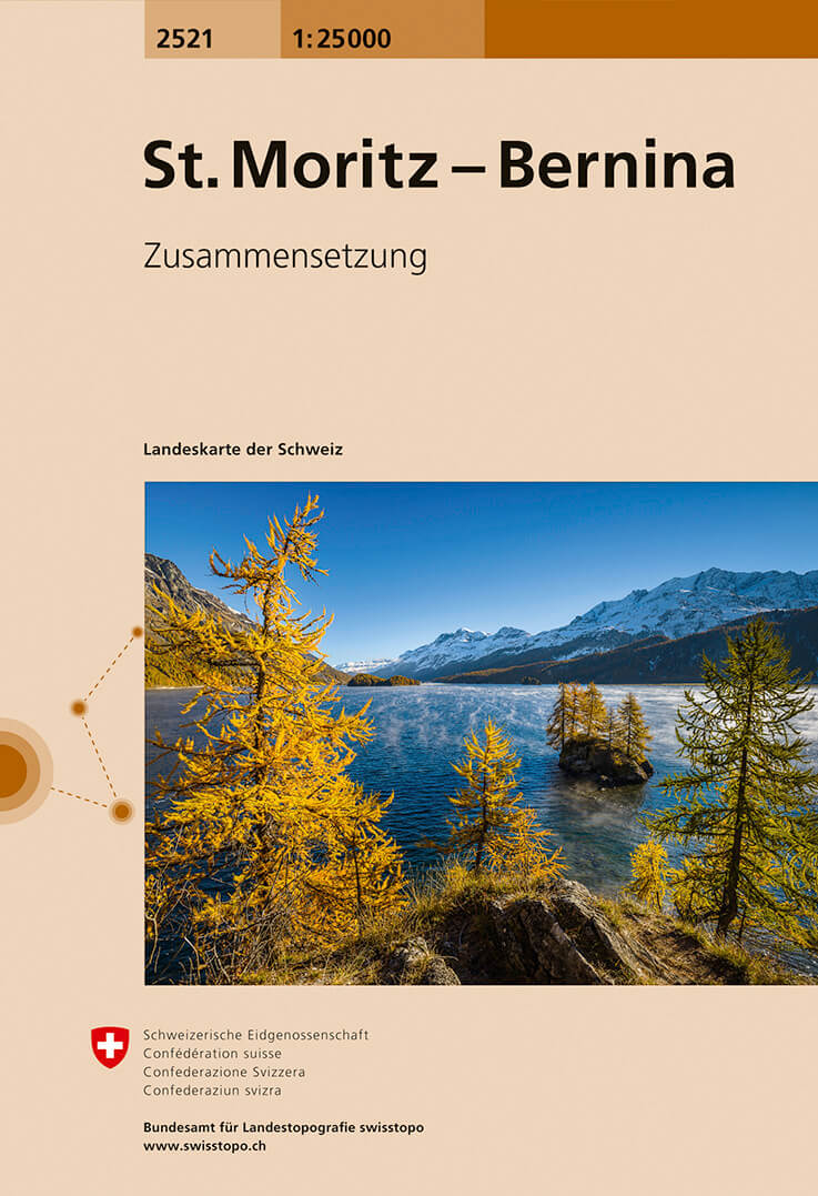
- Wandelkaart - Topografische kaart 2521 St. Moritz - Bernina | Swisstopo
- Map No. 2521, St Moritz - Bernina, in the topographic survey of Switzerland at 1:25,000 from Swisstopo, covering the Upper Engadine Valley (Oberengadin / Engadina Ota) from the Maloja Pass to Samedat, plus the Bernina Valley with Pontresina. Swiss topographic survey at 1:25,000 covers the whole country on 247 small format sheets, with special... Read more

Stanfords
United Kingdom
- St Moritz - Bernina Swisstopo 2521
- Map No. 2521, St Moritz - Bernina, in the topographic survey of Switzerland at 1:25,000 from Swisstopo, covering the Upper Engadine Valley (Oberengadin / Engadina Ota) from the Maloja Pass to Samedat, plus the Bernina Valley with Pontresina. Swiss topographic survey at 1:25,000 covers the whole country on 247 small format sheets, with special... Read more
Bol.com
Netherlands
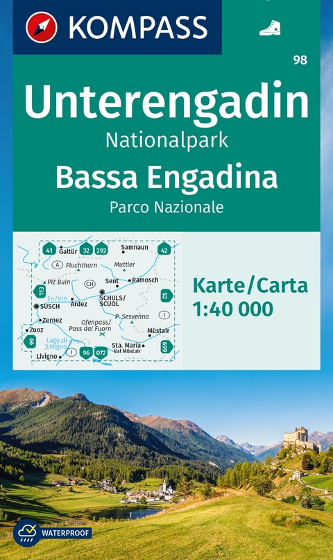
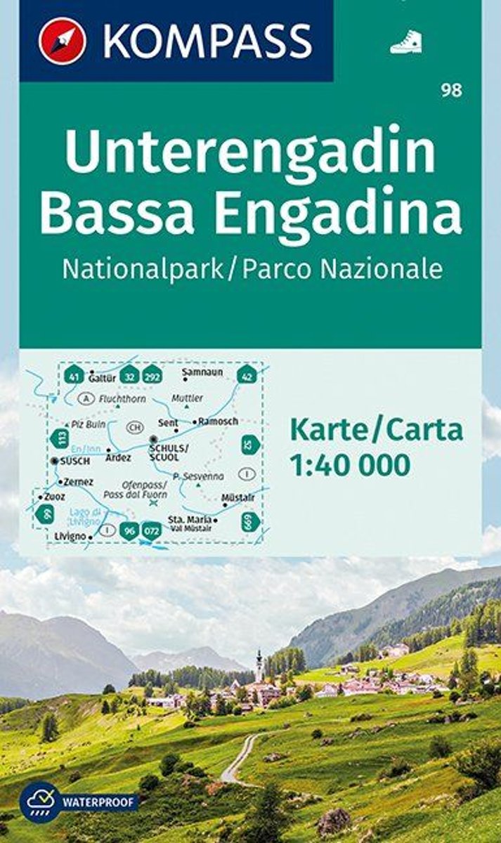
- Kompass WK98 Unterengadin, Bassa Engadina, Nationalpark
- Deze Kompass wandelkaart, schaal 1:50 000, is ideaal om uw route uit te stippelen en om onderweg te gebruiken • naast de bekende bestemmingen, worden ook de minder bekende vermeld • openbaar vervoer bij begin- of eindpunt van een route aangegeven • eenvoudige wandelingen tot pittige (berg)tochten, voor getrainde en ongetrainde wandelaars • met... Read more
Bol.com
Belgium
- Kompass WK98 Unterengadin, Bassa Engadina, Nationalpark
- Deze Kompass wandelkaart, schaal 1:50 000, is ideaal om uw route uit te stippelen en om onderweg te gebruiken • naast de bekende bestemmingen, worden ook de minder bekende vermeld • openbaar vervoer bij begin- of eindpunt van een route aangegeven • eenvoudige wandelingen tot pittige (berg)tochten, voor getrainde en ongetrainde wandelaars • met... Read more

Stanfords
United Kingdom

Stanfords
United Kingdom
- Glarnerland - Bundnerland Swisstopo 106
- Glarnerland – Bundnerland – Lower Engadine Valley region of eastern Switzerland on a Swiss topographic survey map at 1:100,000. The map, published in 2015, includes Swiss National Grid lines at 1km. intervals.Maps in the Swiss topographic survey at 1:100,000 from Swisstopo are highly regarded for their superb use of graphic relief and hill... Read more
