De Zwerver
Netherlands
Netherlands
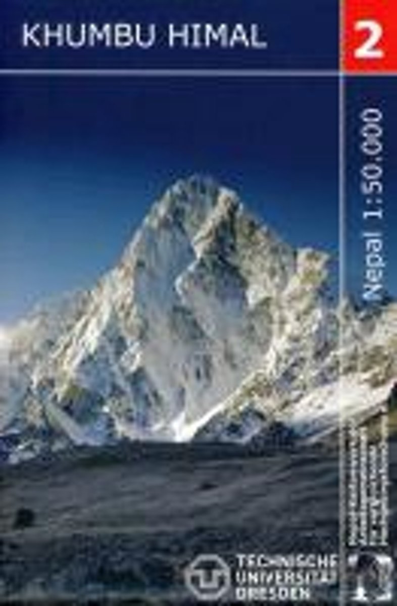
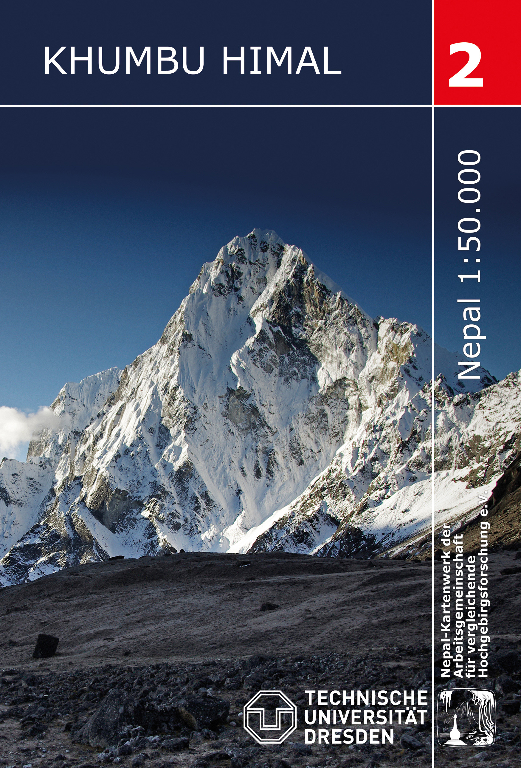
- Wandelkaart 02 Nepal Khumbu Himal | Nepal Kartenwerk
- Khumbu Himal area at 1:50,000 on a waterproof and tear-resistant map in the famous Schneider series, revised in 2013 to include extensive tourist information for trekking routes to the Mount Everest Base Camp, Gokyo Lakes, Island Peak, Makalu Base Camp, etc. Coverage extends north from Namche Bazaar and along the Tibetan border from the Lunag... Read more
- Also available from:
- Stanfords, United Kingdom

Stanfords
United Kingdom
United Kingdom
- Khumbu Himal Schneider Nepal Map 02
- Khumbu Himal area at 1:50,000 on a waterproof and tear-resistant map in the famous Schneider series, revised in 2013 to include extensive tourist information for trekking routes to the Mount Everest Base Camp, Gokyo Lakes, Island Peak, Makalu Base Camp, etc. Coverage extends north from Namche Bazaar and along the Tibetan border from the Lunag... Read more