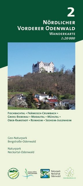
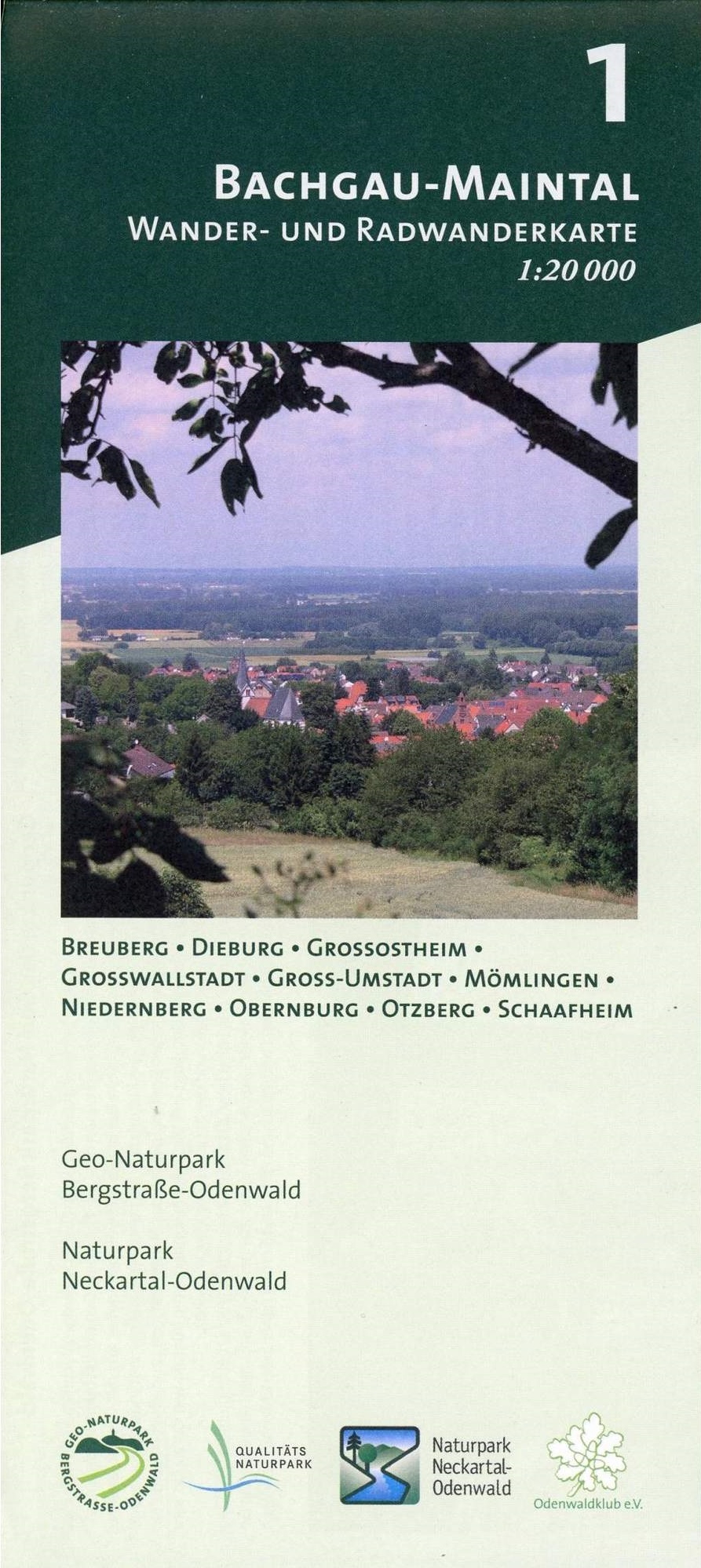
Bachgau-Maintal 1:20.000 ab 8.9 EURO Wander- und Radwanderkarte. Mit Breuberg, Dieburg, Großostheim, Großwallstadt, Groß-Umstadt, Mömlingen, Niedernberg, Obernburg, Otzberg und Schaafheim Odenwald Freizeitkarte Naturpark Neckartal-Odenwald Geo-Naturpark Bergstraße-Odenwald. 1. AuflageRead more
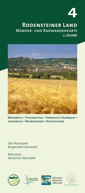
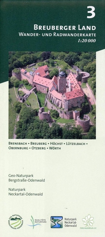
Breuberger Land 1:20.000 ab 8.9 EURO Wander- und Radwanderkarte. Mit Brensbach, Breuberg, Höchst, Lützelbach, Obernburg, Otzberg und Wörth Odenwald Freizeitkarte Naturpark Neckartal-Odenwald Geo-Naturpark Bergstraße-Odenwald. 1. AuflageRead more
Map No. 125, Alta Val Tiberina, in a series of GPS compatible hiking maps at 1:50,000 from the Istituto Geografico Adriatico, covering parts of central Italy: eastern Tuscany, with northern Umbria and the Marches, plus the south-eastern of part of Emilia-Romagna.The maps have contours at 50m intervals with additional shading and numerous spot...Read more
Map No. 22, Alta Valle del Lamone: Alto Appennino Faentino – Anello di Marradi, in series of contoured, GPS compatible hiking maps at 1:25,000 from the Istituto Geografico Adriatico, covering mainly the spine of the Apennines along the borders of Tuscany, Emilia-Romagna, Umbria and the Marches.Map in this series have contours at 25m intervals...Read more
Map No. 128, Riviera Cesenate - San Marino, in a series of GPS compatible hiking maps at 1:50,000 from the Istituto Geografico Adriatico, covering parts of central Italy: eastern Tuscany, with northern Umbria and the Marches, plus the south-eastern of part of Emilia-Romagna.The maps have contours at 50m intervals with additional shading and...Read more
Map No. 127, Colline di Forlí, in a series of GPS compatible hiking maps at 1:50,000 from the Istituto Geografico Adriatico, covering parts of central Italy: eastern Tuscany, with northern Umbria and the Marches, plus the south-eastern of part of Emilia-Romagna.The maps have contours at 50m intervals with additional shading and numerous spot...Read more