De Zwerver
Netherlands
» Click to open
Stanfords
United Kingdom
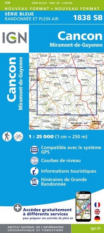
  • Cancon - Miramont-de-Guyenne IGN 1938SB
  • Topographic survey of France at 1:25,000 in IGN`s excellent TOP25 / Série Bleue series. All the maps are GPS compatible, with a 1km UTM grid plus latitude and longitude lines at 5’ intervals. Contours are at 5m intervals except for mountainous areas where the maps have contours at 10m intervals, vividly enhanced by hill shading and graphics for... Read more
» Click to close
De Zwerver
Netherlands
De Zwerver
Netherlands
» Click to open
Stanfords
United Kingdom
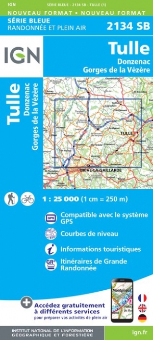
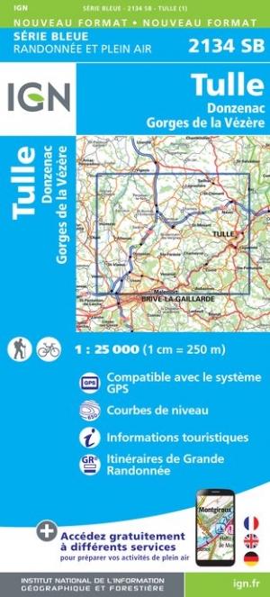
  • Tulle - Donzenac - Gorges de la Vezere IGN 2134SB
  • Topographic survey of France at 1:25,000 in IGN`s excellent TOP25 / Série Bleue series. All the maps are GPS compatible, with a 1km UTM grid plus latitude and longitude lines at 5’ intervals. Contours are at 5m intervals except for mountainous areas where the maps have contours at 10m intervals, vividly enhanced by hill shading and graphics for... Read more
» Click to close
De Zwerver
Netherlands
» Click to open
Stanfords
United Kingdom
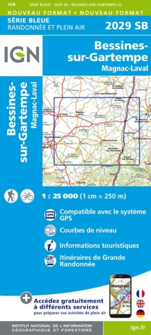
  • Bessines-sur-Gartempe - Magnac-Laval IGN 2029SB
  • Topographic survey of France at 1:25,000 in IGN`s excellent TOP25 / Série Bleue series. All the maps are GPS compatible, with a 1km UTM grid plus latitude and longitude lines at 5’ intervals. Contours are at 5m intervals except for mountainous areas where the maps have contours at 10m intervals, vividly enhanced by hill shading and graphics for... Read more
» Click to close
De Zwerver
Netherlands
De Zwerver
Netherlands
» Click to open
Stanfords
United Kingdom
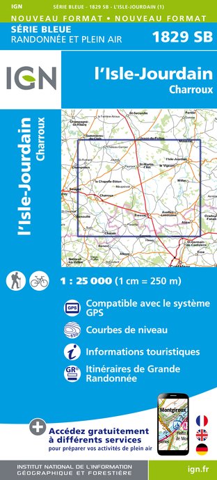
  • L`Isle-Jourdain - Charroux IGN 25K Série Bleue Map 1829SB
  • Topographic survey of France at 1:25,000 in IGN`s excellent TOP25 / Série Bleue series. All the maps are GPS compatible, with a 1km UTM grid plus latitude and longitude lines at 5’ intervals. Contours are at 5m intervals except for mountainous areas where the maps have contours at 10m intervals, vividly enhanced by hill shading and graphics for... Read more
» Click to close
De Zwerver
Netherlands
De Zwerver
Netherlands
» Click to open
Stanfords
United Kingdom
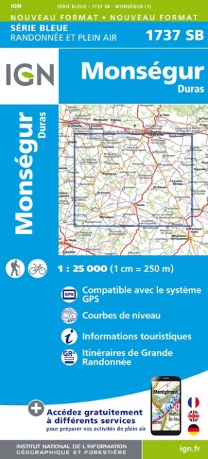
  • Monsegur - Duras IGN 1737SB
  • Topographic survey of France at 1:25,000 in IGN`s excellent TOP25 / Série Bleue series. All the maps are GPS compatible, with a 1km UTM grid plus latitude and longitude lines at 5’ intervals. Contours are at 5m intervals except for mountainous areas where the maps have contours at 10m intervals, vividly enhanced by hill shading and graphics for... Read more
» Click to close
De Zwerver
Netherlands
» Click to open
Stanfords
United Kingdom
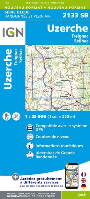
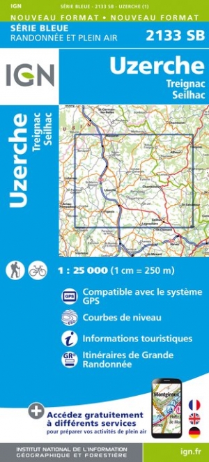
  • Uzerche - Treignac - Seilhac IGN 2133SB
  • Topographic survey of France at 1:25,000 in IGN`s excellent TOP25 / Série Bleue series. All the maps are GPS compatible, with a 1km UTM grid plus latitude and longitude lines at 5’ intervals. Contours are at 5m intervals except for mountainous areas where the maps have contours at 10m intervals, vividly enhanced by hill shading and graphics for... Read more
» Click to close
De Zwerver
Netherlands
» Click to open
Stanfords
United Kingdom
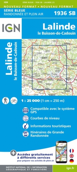
  • Lalinde - le Buisson-de-Cadouin IGN 1936SB
  • Topographic survey of France at 1:25,000 in IGN`s excellent TOP25 / Série Bleue series. All the maps are GPS compatible, with a 1km UTM grid plus latitude and longitude lines at 5’ intervals. Contours are at 5m intervals except for mountainous areas where the maps have contours at 10m intervals, vividly enhanced by hill shading and graphics for... Read more
» Click to close
De Zwerver
Netherlands
2023
De Zwerver
Netherlands
» Click to open
Stanfords
United Kingdom
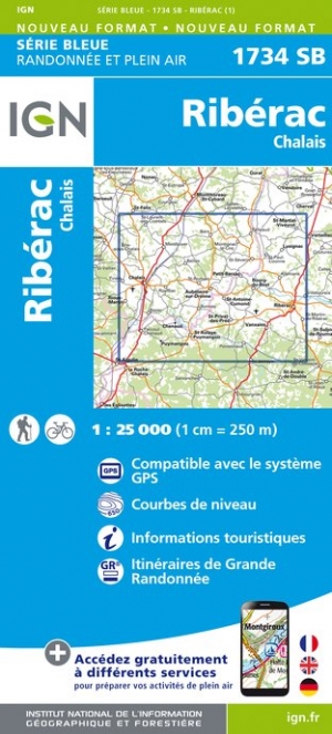
  • Riberac - Chalais IGN 1734SB
  • Topographic survey of France at 1:25,000 in IGN`s excellent TOP25 / Série Bleue series. All the maps are GPS compatible, with a 1km UTM grid plus latitude and longitude lines at 5’ intervals. Contours are at 5m intervals except for mountainous areas where the maps have contours at 10m intervals, vividly enhanced by hill shading and graphics for... Read more
» Click to close
De Zwerver
Netherlands
» Click to open
Stanfords
United Kingdom
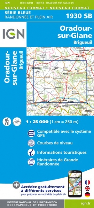
  • Oradour-Sur-Glane - Brigueuil IGN 1930SB
  • Topographic survey of France at 1:25,000 in IGN`s excellent TOP25 / Série Bleue series. All the maps are GPS compatible, with a 1km UTM grid plus latitude and longitude lines at 5’ intervals. Contours are at 5m intervals except for mountainous areas where the maps have contours at 10m intervals, vividly enhanced by hill shading and graphics for... Read more

» Click to close
De Zwerver
Netherlands
» Click to open
Stanfords
United Kingdom
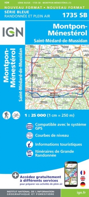
  • Montpon-Menesterol - Saint-Medard-de-Mussidan IGN 1735SB
  • Topographic survey of France at 1:25,000 in IGN`s excellent TOP25 / Série Bleue series. All the maps are GPS compatible, with a 1km UTM grid plus latitude and longitude lines at 5’ intervals. Contours are at 5m intervals except for mountainous areas where the maps have contours at 10m intervals, vividly enhanced by hill shading and graphics for... Read more
» Click to close
De Zwerver
Netherlands
2024