De Zwerver
Netherlands

Stanfords
United Kingdom
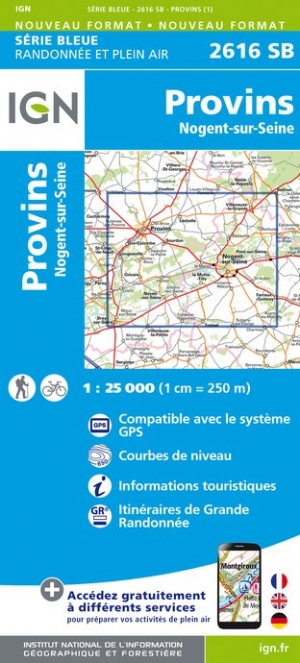
- Provins - Nogent-sur-Seine IGN 2616SB
- Topographic survey of France at 1:25,000 in IGN`s excellent TOP25 / Série Bleue series. All the maps are GPS compatible, with a 1km UTM grid plus latitude and longitude lines at 5’ intervals. Contours are at 5m intervals except for mountainous areas where the maps have contours at 10m intervals, vividly enhanced by hill shading and graphics for... Read more
De Zwerver
Netherlands

Stanfords
United Kingdom
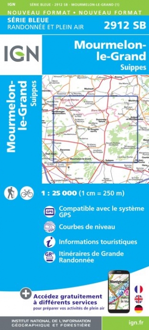
- Mourmelon-le-Grand - Suippes IGN 2912SB
- Topographic survey of France at 1:25,000 in IGN`s excellent TOP25 / Série Bleue series. All the maps are GPS compatible, with a 1km UTM grid plus latitude and longitude lines at 5’ intervals. Contours are at 5m intervals except for mountainous areas where the maps have contours at 10m intervals, vividly enhanced by hill shading and graphics for... Read more
De Zwerver
Netherlands

Stanfords
United Kingdom
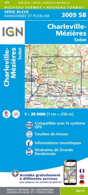
- Charleville-Mezieres - Sedan IGN 25K SĂ©rie Bleue Map 3009SB
- Topographic survey of France at 1:25,000 in IGN`s excellent TOP25 / Série Bleue series. All the maps are GPS compatible, with a 1km UTM grid plus latitude and longitude lines at 5’ intervals. Contours are at 5m intervals except for mountainous areas where the maps have contours at 10m intervals, vividly enhanced by hill shading and graphics for... Read more
De Zwerver
Netherlands

Stanfords
United Kingdom
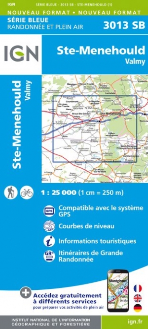
- Ste-Menehould - Valmy IGN 3013SB
- Topographic survey of France at 1:25,000 in IGN`s excellent TOP25 / Série Bleue series. All the maps are GPS compatible, with a 1km UTM grid plus latitude and longitude lines at 5’ intervals. Contours are at 5m intervals except for mountainous areas where the maps have contours at 10m intervals, vividly enhanced by hill shading and graphics for... Read more
De Zwerver
Netherlands

Stanfords
United Kingdom
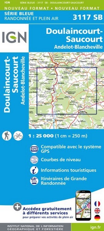
- Doulaincourt-Saucourt - Andelot-Blancheville IGN 3117SB
- Topographic survey of France at 1:25,000 in IGN`s excellent TOP25 / Série Bleue series. All the maps are GPS compatible, with a 1km UTM grid plus latitude and longitude lines at 5’ intervals. Contours are at 5m intervals except for mountainous areas where the maps have contours at 10m intervals, vividly enhanced by hill shading and graphics for... Read more
De Zwerver
Netherlands
De Zwerver
Netherlands

De Zwerver
Netherlands

Stanfords
United Kingdom
- Bataille du Chemin des Dames 1917 IGN Map
- IGN commemorates the centenary of the ”Battle of the Chemin des Dames 1917” with this 1: 75,000 scale map. It presents the front lines, memorial sites (memorials, military cemeteries, old defensive works, museums). Created in partnership with the Centenary Mission of the First World War and the Aisne Tourist Board, this map offers a legend and... Read more
De Zwerver
Netherlands

Stanfords
United Kingdom
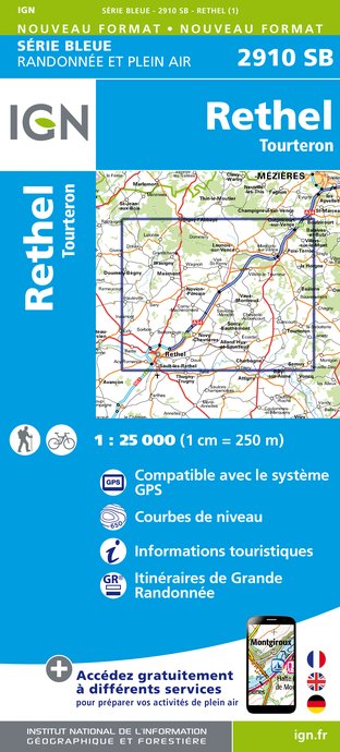
- Rethel - Tourteron IGN 25K SĂ©rie Bleue Map 2910SB
- Topographic survey of France at 1:25,000 in IGN`s excellent TOP25 / Série Bleue series. All the maps are GPS compatible, with a 1km UTM grid plus latitude and longitude lines at 5’ intervals. Contours are at 5m intervals except for mountainous areas where the maps have contours at 10m intervals, vividly enhanced by hill shading and graphics for... Read more
De Zwerver
Netherlands

Stanfords
United Kingdom
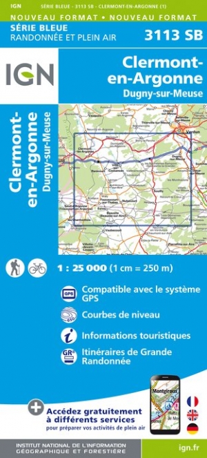
- Clermont-en-Argonne - Dugny-sur-Meuse IGN 3113SB
- Topographic survey of France at 1:25,000 in IGN`s excellent TOP25 / Série Bleue series. All the maps are GPS compatible, with a 1km UTM grid plus latitude and longitude lines at 5’ intervals. Contours are at 5m intervals except for mountainous areas where the maps have contours at 10m intervals, vividly enhanced by hill shading and graphics for... Read more
De Zwerver
Netherlands

Stanfords
United Kingdom
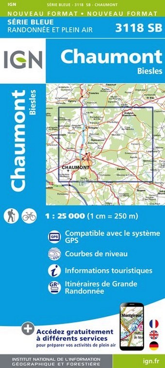
- Chaumont - Biesles IGN 3118SB
- Topographic survey of France at 1:25,000 in IGN`s excellent TOP25 / Série Bleue series. All the maps are GPS compatible, with a 1km UTM grid plus latitude and longitude lines at 5’ intervals. Contours are at 5m intervals except for mountainous areas where the maps have contours at 10m intervals, vividly enhanced by hill shading and graphics for... Read more
De Zwerver
Netherlands
De Zwerver
Netherlands

Stanfords
United Kingdom
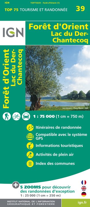
- Foret d`Orient - Lac du Der-Chantecoq IGN 75039
- Foret d`Orient - Lac du Der-Chantecoq area of southern Champagne between Troyes and St-Dizierin a series of GPS compatible, contoured TOP 75 maps at 1:75,000 from the IGN, highlighting local and long-distance hiking paths, cycling routes and sites for other recreational activities. Five large panels with IGN’s topographic mapping at 1:25,000... Read more
De Zwerver
Netherlands
De Zwerver
Netherlands