De Zwerver
Netherlands
Netherlands
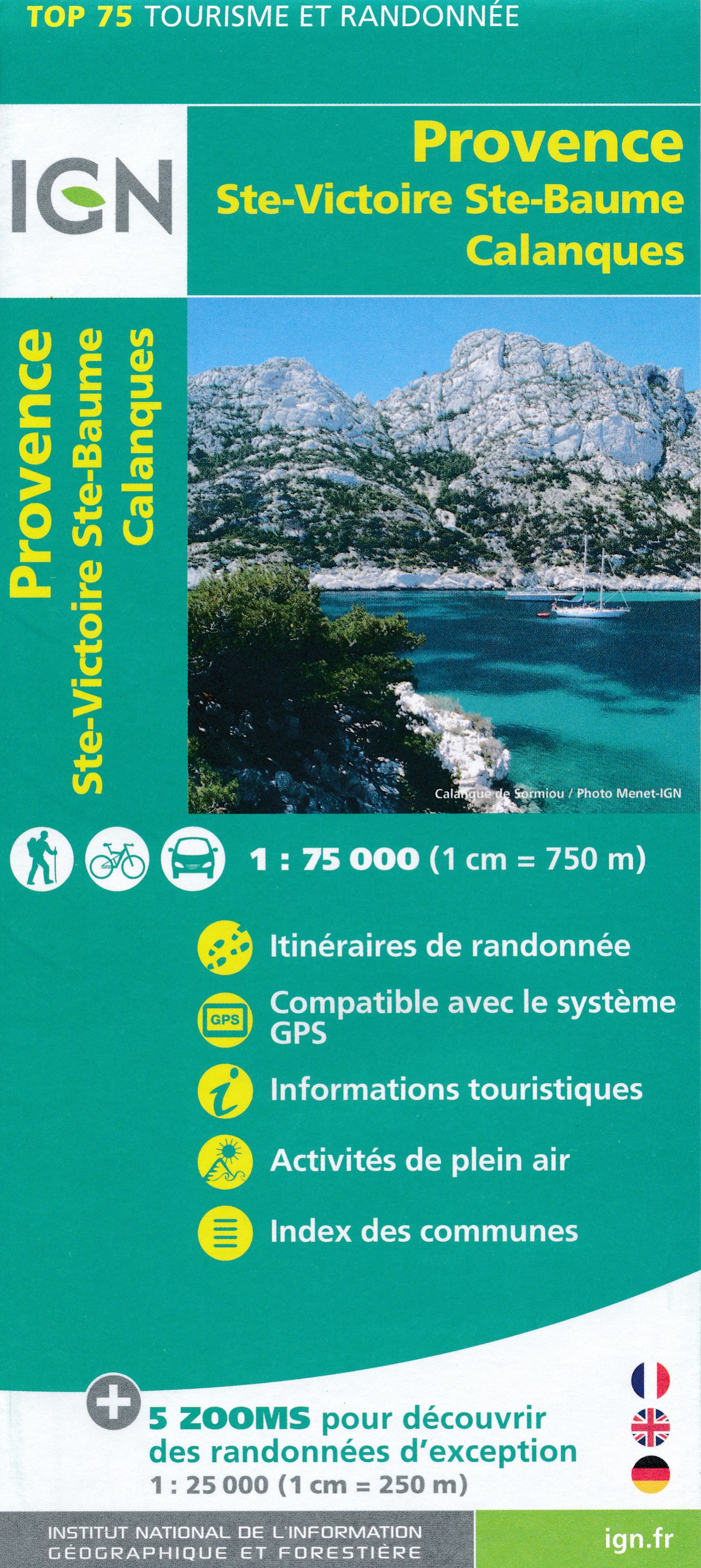
- Fietskaart - Wandelkaart 35 Ste Victoire - Ste Baume - Calanques - Provence | IGN - Institut Géographique National
- Ste-Victoire - Ste-Baume - Calanques area of Provence in a series of GPS compatible, contoured TOP 75 maps at 1:75,000 from the IGN, highlighting local and long-distance hiking paths, cycling routes and sites for other recreational activities. The map includes five large panels with IGN Read more
- Also available from:
- Stanfords, United Kingdom

Stanfords
United Kingdom
United Kingdom
- Provence - Ste-Victoire - Ste-Baume - Calanques IGN 75035
- Ste-Victoire - Ste-Baume - Calanques area of Provence in a series of GPS compatible, contoured TOP 75 maps at 1:75,000 from the IGN, highlighting local and long-distance hiking paths, cycling routes and sites for other recreational activities. The map includes five large panels with IGN’s topographic mapping at 1:25,000 and extensive overprint... Read more