De Zwerver
Netherlands
2019
Netherlands
2019
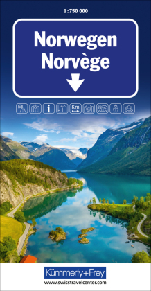
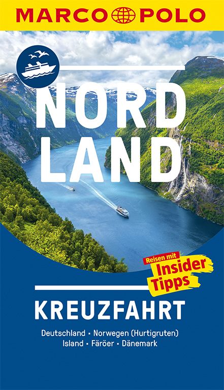
- Reisgids Kreuzfahrt Nordland | MairDumont
- Der MARCO POLO überzeugt mit kompakten Informationen, Insider-Tipps und seiner handlichen Größe. Entdecken Sie mit MARCO POLO Kreuzfahrt die nordischen Länder. Oft rau und immer einzigartig – die Natur der nordischen Länder ist unbeschreiblich schön. Tief schneiden sich hier die Fjorde in die Küstenlinie ein, flankiert von den schroffen,... Read more