De Zwerver
Netherlands
De Zwerver
Netherlands
De Zwerver
Netherlands
2020
» Click to open
Stanfords
United Kingdom
2020
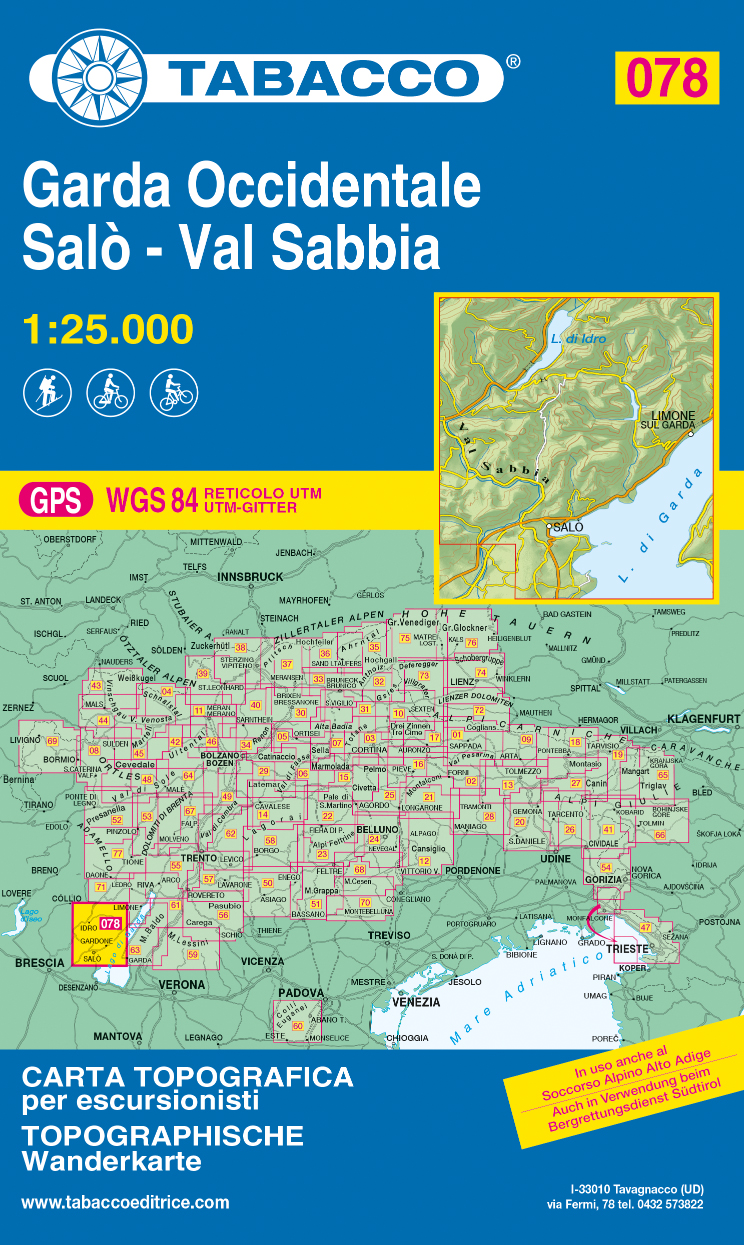
  • Garda Occidentale - Salo - Val Sabbia - Lago d`Idro Tabacco 078
  • The northern part of Lake Garda and the Monte Baldo area to the east of the lake in a series of Tabacco maps at 1:25,000 covering the Dolomites and the mountains of north-eastern Italy - Stanfords’ most popular coverage for this region, with excellent cartography and extensive overprint for hiking routes and other recreational activities, local... Read more
» Click to close
De Zwerver
Netherlands
» Click to open
Stanfords
United Kingdom
  • Edolo - Aprica - Ponte di Legno - Val Camonica Kompass 94
  • Map No. 94, Edolo - Aprica, from Kompass in a series of walking maps of selected areas of Italy at 1:50,000, with hiking routes on a topographic base, various types of accommodation, recreational facilities, places of interest, etc. Kompass are Europe’s largest publishers of walking maps, with extensive coverage of hiking areas in other... Read more
» Click to close
De Zwerver
Netherlands
De Zwerver
Netherlands
» Click to open
Stanfords
United Kingdom
  • Monte Stivo - Monte Bondone - Rovereto Kompass 687
  • Map No. 687, Monte Stivo - Monte Bondone - Rovereto, from Kompass in a series providing detailed coverage of the Dolomites and Lake Garda area and supplementing their main series of walking maps of Italy at 1:50,000. Maps in this series have a more detailed base and smaller contour interval than coverage at 1:50,000.*Cartography:* maps at... Read more
» Click to close
De Zwerver
Netherlands
De Zwerver
Netherlands
De Zwerver
Netherlands
De Zwerver
Netherlands
» Click to open
Stanfords
United Kingdom
  • Alto Garda - Ledro - Valle del Sacra Kompass 096
  • The area around and north of the northern tip of Lake Garda, including Riva del Garda, on a double-sided, waterproof and tear-resistant, contoured and GPS compatible map at 1:25,000 from Kompass. Contour interval is 20m, with extensive overprint for hiking trails, cycle routes including a selection of mountain bike routes), ski routes,... Read more
» Click to close
De Zwerver
Netherlands
» Click to open
Stanfords
United Kingdom
  • Domodossola Swisstopo 285
  • Domodossola, map No. 285, in the standard topographic survey of Switzerland at 1:50,000 from Swisstopo, i.e. without the special overprint highlighting walking trails, local bus stops, etc, presented in Swisstopo’s hiking editions of the 50K survey. The map covers the Italian side of the border.Highly regarded for their superb use of graphic... Read more
» Click to close
De Zwerver
Netherlands
De Zwerver
Netherlands
De Zwerver
Netherlands
De Zwerver
Netherlands