Goede wandelkaart met vrijwel alle topografische details als hoogtelijnen, vegetatie, schaduwtekening maar ook de ingetekende wandelroutes en in veel gevallen ook fietsroutes (MTB). Gevaarlijke routes worden als zodanig weergegeven met een bepaalde markering. Berghutten en campings zijn goed terug te vinden op deze kaarten. Daarnaast staan de...Read more
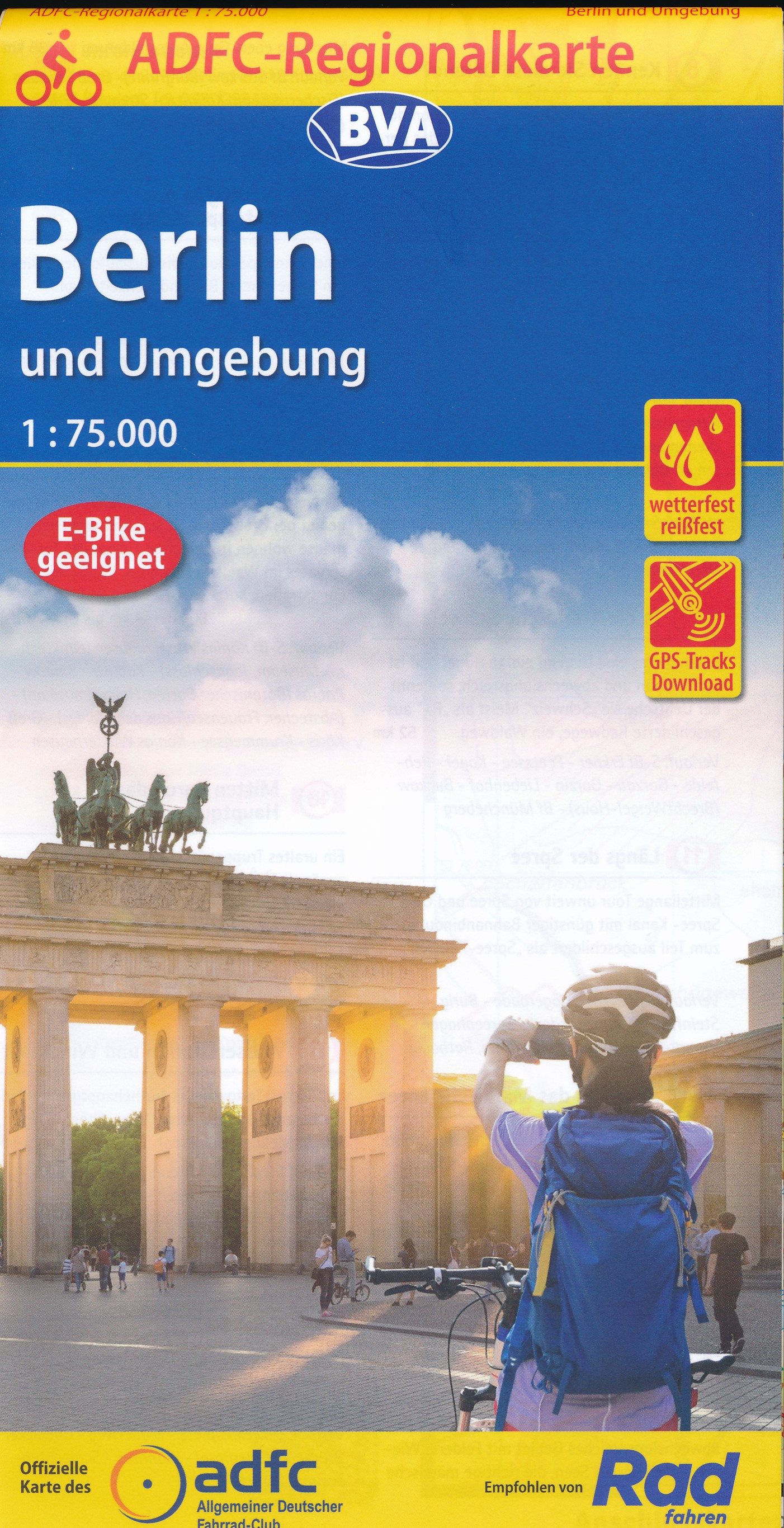
Berlin and its Environs on a waterproof, tear-resistant, GPS compatible cycling map at 1:75,000 from the ADFC (Allgemeiner Deutscher Fahrrad-Club - the official German cycling federation), in a series of maps with extensive overprint for long-distance and local cycling routes. GPS waypoints, route profiles, details of online links for...Read more
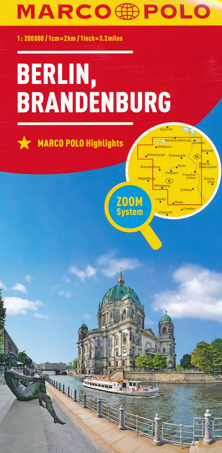
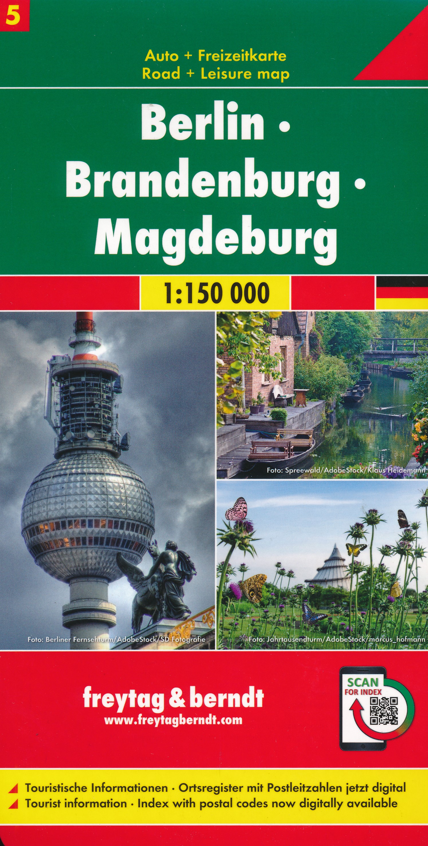
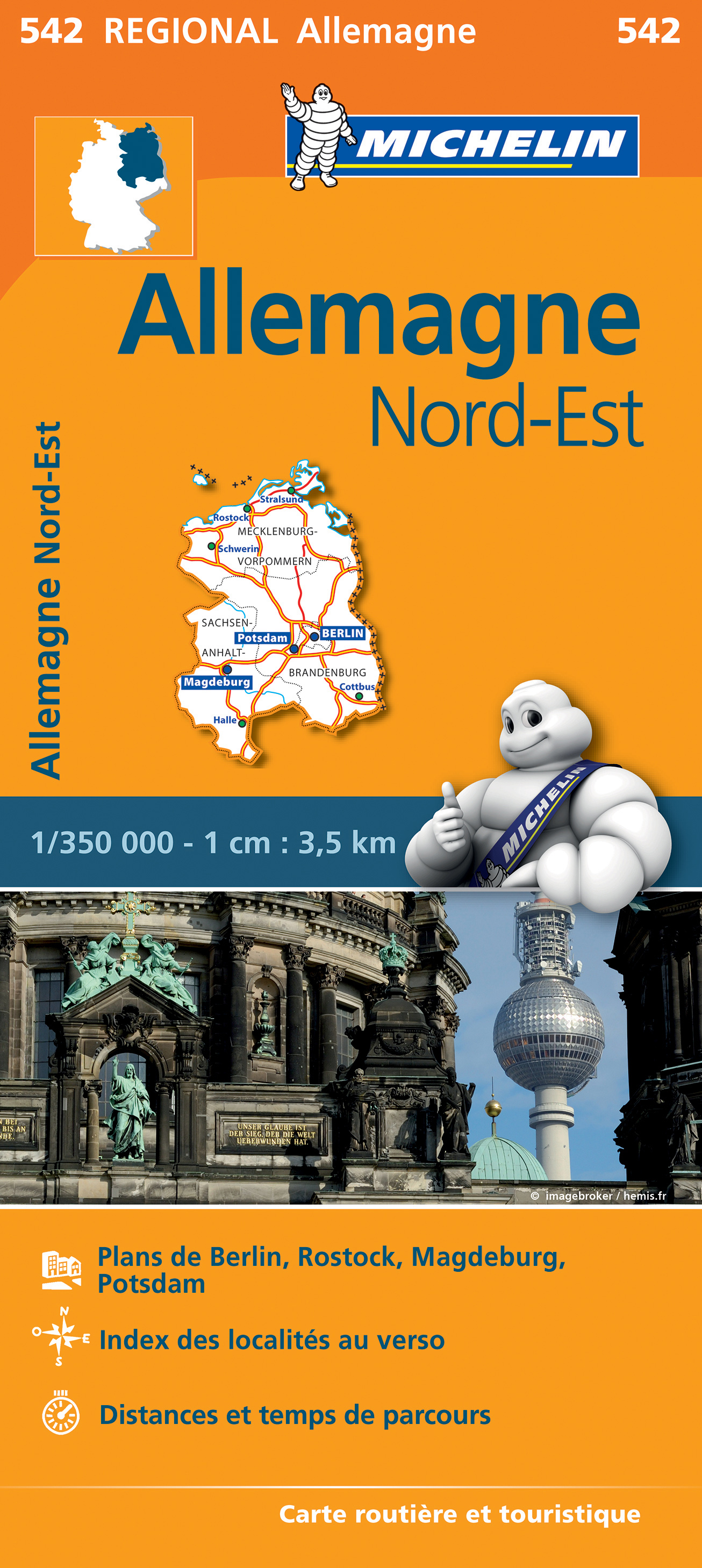
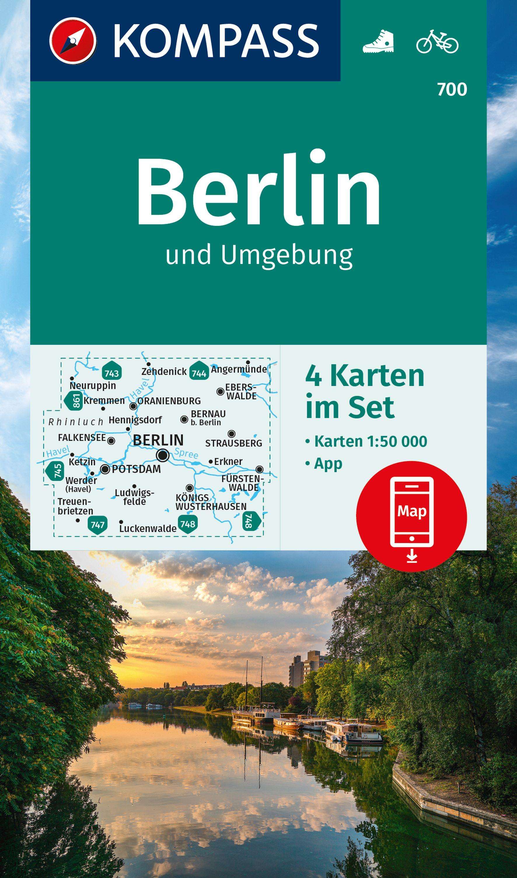
German state of Brandenburg with Berlin on an indexed road map at 1:200,000 in the MairDumont’s Marco Polo series, prominently highlighting interesting locations and protected areas. A 95-page index booklet includes for the Berlin/Postdam area street plans of central and west Berlin and Potsdam, plus enlargements of the environs at1:100,000...Read more
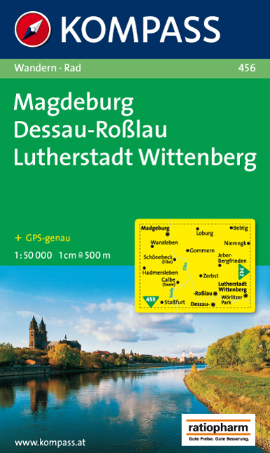
Goede wandelkaart met vrijwel alle topografische details en ingetekende routes. Ook met symbolen voor toeristische bezienswaardigheden, register. Berghutten duidelijk weergegeven. Gevaarlijke wandelroutes zijn goed herkenbaar. GPS toepasbaar. KOMPASS-Wanderkarten enthalten alles Wissenswerte für Wanderer wie aktuelle Wanderwege mit...Read more
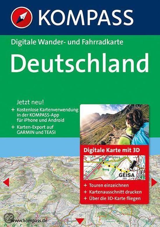
Deze digitale wandel-, fiets- en skiroute kaarten van Kompass op CD of DVD zijn bruikbaar met GPS • je kunt inzoomen op de kaart tot een schaal van 1: 10 000 • prima manier om je eigen route te plannen, met hoogteprofielen • zeer eenvoudig om de gekozen route te printen of te downloaden op mobiele telefoon of PDA • vlieg vogelvlucht over een...Read more
Deze digitale wandel-, fiets- en skiroute kaarten van Kompass op CD of DVD zijn bruikbaar met GPS • je kunt inzoomen op de kaart tot een schaal van 1: 10 000 • prima manier om je eigen route te plannen, met hoogteprofielen • zeer eenvoudig om de gekozen route te printen of te downloaden op mobiele telefoon of PDA • vlieg vogelvlucht over een...Read more
Berlin Wall Cycle Route, a 160-km circuit along the course of the wall which once divided the German capital, presented by the Verlag Esterbauer in an English language guide with maps at 1:20,000 showing the routes and their variants. Coverage includes the course of the wall across central Berlin. Extensive information is conveyed by symbols,...Read more
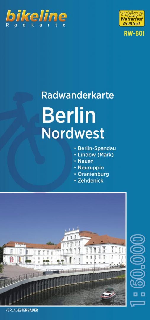
Berlin and Environs Cycling Atlas from Verlag Esterbauer with 129 tours totaling nearly 1100 kilometres, presented on mapping at 1:20,000, 1:50,000 or 1:75.000. The shortest trip is 11km, the longest 120km. Extensive information is conveyed by symbols, indicating road surface, campsites and other accommodation, repair workshops, recreational...Read more
Pocket size ”Cityplan” map of Berlin from Falk with coverage of the city’s outer districts including access to the Tegel Airport, plus an enlargement for the city centre, a street plan of Potsdam, a diagram of the U & S-Bahn network, and a road map of the city with its outer suburbs.The main plan extends from the Berlin Tegel Airport to the...Read more
Berlin to the Baltic Coast Cycle Route, a 330-km long route linking Berlin and the island of Usedom, presented by the Verlag Esterbauer in a guide with maps at 1:75,000 showing the route and its variants. Extensive information is conveyed by symbols, indicating road surface, campsites and other accommodation, repair workshops, recreational...Read more