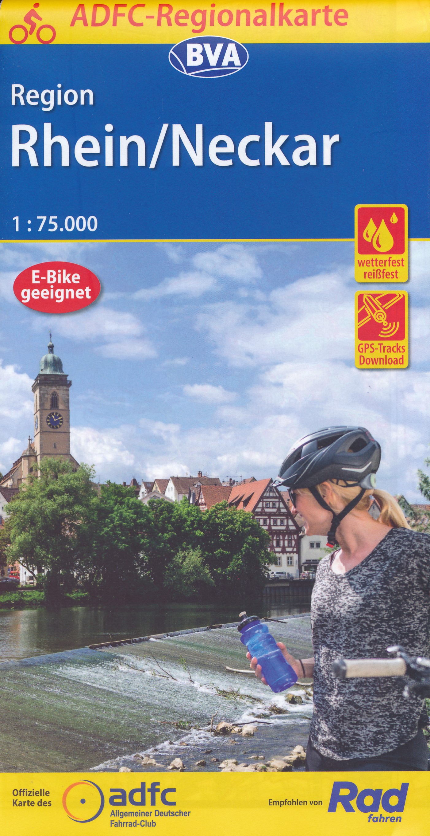
Rhine - Neckar Region on a waterproof, tear-resistant, GPS compatible cycling map at 1:75,000 from the ADFC (Allgemeiner Deutscher Fahrrad-Club - the official German cycling federation), in a series of maps with extensive overprint for long-distance and local cycling routes. GPS waypoints, route profiles, details of online links for information...Read more
Pirin Mountains at 1:50,000 on a large, double-sided, contoured map with GPS waypoints for shelters and chalets, peaks, etc. and highlighting hiking routes. Topography is shown by contours at 40m intervals with additional relief shading and graphics and colouring for sandstone stacks, single rocks over 5m high, marshlands and different types of...Read more
Deutschland 08 Nordrhein-Westfalen 1 : 200 000 ab 10.9 EURO Auto und Freizeitkarte. Ortsregister mit Postleitzahlen Deutschland Freytag & Berndt Autokarte. Neuauflage, Laufzeit bis 2019Read more
Duidelijke wandelkaart voor de hele route. Ingetekend met symbolen kan fout lopen nauwelijks gebeuren. Diese beliebte Wanderkarte zum Hermannweg im Teutoburger Wald zeichnet sich vor allem durch die praktische Leporello-Faltung aus, so dass eine besonders benutzerfreundliche Handhabung gewährleistet ist. Die Grundlage für die...Read more
Stara Planina Central: Uzana to Vratnik map at 1:50,000 from Bulgarian publishers Domino, contoured and GPS compatible, with hiking trails, accommodation options including a list of local mountain refuges, etc. The map is double-sided and covers the mountains from just west of the Uzana massif, the geographical centre of Bulgaria, eastwards to...Read more
Stara Planina Central: Uzana to Vratnik map at 1:50,000 from Bulgarian publishers Domino, contoured and GPS compatible, with hiking trails, accommodation options including a list of local mountain refuges, etc. The map is double-sided and covers the mountains from just west of the Uzana massif, the geographical centre of Bulgaria, eastwards to...Read more