De Zwerver
Netherlands
Netherlands
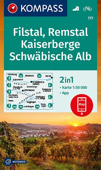
- Wandelkaart 777 Filstal - Remstal - Kaiserberge - Schwäbische Alb | Kompass
- Kaiserberge - Filstal - Schwabian Jura area of Baden-Württemberg on a detailed, GPS compatible map at 1:50,000 from Kompass with local and long-distance footpaths, cycling routes, accommodation, etc, printed on durable, waterproof and tear-resistant synthetic paper.KOMPASS HIKING & RECREATIONAL MAPS: this title is part of an extensive series... Read more
- Also available from:
- Stanfords, United Kingdom

Stanfords
United Kingdom
United Kingdom
- Filstal - Remstal - Kaiserberge - Schwäbische Alb Kompass 777
- Kaiserberge - Filstal - Schwabian Jura area of Baden-Württemberg on a detailed, GPS compatible map at 1:50,000 from Kompass with local and long-distance footpaths, cycling routes, accommodation, etc, printed on durable, waterproof and tear-resistant synthetic paper.KOMPASS HIKING & RECREATIONAL MAPS: this title is part of an extensive series... Read more