De Zwerver
Netherlands
De Zwerver
Netherlands
2021
» Click to open
Stanfords
United Kingdom
2021
  • Lake District Harvey British Mountain Map XT40
  • Waterproof mountain map of the Lake District from Harvey at 1:40,000, with a geological map of the region on the reverse, enlargements of Scafell andPillar, and advice on navigating the region safely.*MAIN MAP:* Topography is shown through clear altitude shading, spot heights, contours at 15m intervals, and index contours at 75m intervals. A... Read more
» Click to close
De Zwerver
Netherlands
2022
De Zwerver
Netherlands
2018
» Click to open
Stanfords
United Kingdom
2018
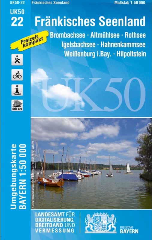
  • Franconia Lake District UK50-22
  • Franconia Lake District, map no. 50-22 covering an area around Altmühlsee, Rothsee, Bronbachsee, Ingelsbachsee, Hahnenkamm and Dennenloher See, in a series of special contoured and GP-compatible recreational maps from the Bavarian state survey organization, with cartography of the German topographic survey at 1:50,000 and extensive additional... Read more
» Click to close
De Zwerver
Netherlands
De Zwerver
Netherlands
2015
» Click to open
Stanfords
United Kingdom
2015
  • Lake District North Harvey Superwalker XT25
  • The northern part of the Lake District at 1:25,000 on a light, waterproof and tear-resistant map from Harvey Map Services in their Superwalker series. Coverage includes Cockermouth, Keswick, Buttermere, Bassenthwaite Lake, Derwentwater, Thirlmere, Ennerdale Water, Crummock Water, the peak of Skiddaw, etc, and extends south just beyond Ennerdale... Read more
» Click to close
De Zwerver
Netherlands
De Zwerver
Netherlands
2020
» Click to open
Stanfords
United Kingdom
2020
  • Yorkshire Dales Harvey Touring & Planning Map
  • Yorkshire Dales on a road map at 1:100,000 from Harvey Map Services with several enlargements showing main roads across local towns, plus descriptions of interesting locations, advice on public transport, etc. The map shows the Dales region with altitude colouring to indicate the region’s topography. Long-distance trails such as the Dales Way,... Read more
» Click to close
De Zwerver
Netherlands
» Click to open
Stanfords
United Kingdom
  • Berlin - Brandenburg Marco Polo Regional Map 4
  • German state of Brandenburg with Berlin on an indexed road map at 1:200,000 in the MairDumont’s Marco Polo series, prominently highlighting interesting locations and protected areas. A 95-page index booklet includes for the Berlin/Postdam area street plans of central and west Berlin and Potsdam, plus enlargements of the environs at1:100,000... Read more
» Click to close
De Zwerver
Netherlands
2022
De Zwerver
Netherlands
2021
De Zwerver
Netherlands
2015
De Zwerver
Netherlands
2021
De Zwerver
Netherlands
2022
Bol.com
Netherlands
» Click to open
Bol.com
Belgium
  • Lake District
  • Features maps that are specifically designed and researched by mountain bikers, for the dedicated off-roader, and these routes follow Public Rights of Way. Read more
» Click to close