De Zwerver
Netherlands
» Click to open
Stanfords
United Kingdom
  • St Cuthbert`s Way Harvey National Trail XT40
  • St. Cuthbert`s Way, a 100km / 62.5 mile route from Melrose in the Scottish Borders through the Northumberland National Park to the Holly Island of Lindisfarne, presented at 1:40,000 on a GPS compatible, light, waterproof and tear-resistant map from Harvey Map Services. The route is shown on six panels, with additional small street plans of... Read more
» Click to close
De Zwerver
Netherlands
2013
» Click to open
Bol.com
Netherlands
2013
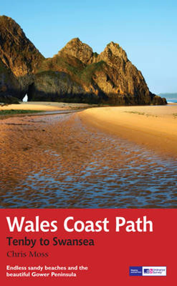
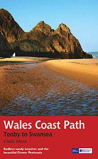
  • Wales Coast Path
  • 2012 saw the opening of the entire Welsh coastline as an official long-distance footpath. Now, to complement its existing National Trail Guide to the Pembrokeshire Coast Path, which makes up the section of the Path from Fishguard to just beyond Tenby, Aurum publishes a completely new guide to the other most scenic and popular stretch of the... Read more
Bol.com
Belgium
2013
  • Wales Coast Path
  • 2012 saw the opening of the entire Welsh coastline as an official long-distance footpath. Now, to complement its existing National Trail Guide to the Pembrokeshire Coast Path, which makes up the section of the Path from Fishguard to just beyond Tenby, Aurum publishes a completely new guide to the other most scenic and popular stretch of the... Read more
» Click to close
Bol.com
Netherlands
» Click to open
Bol.com
Belgium
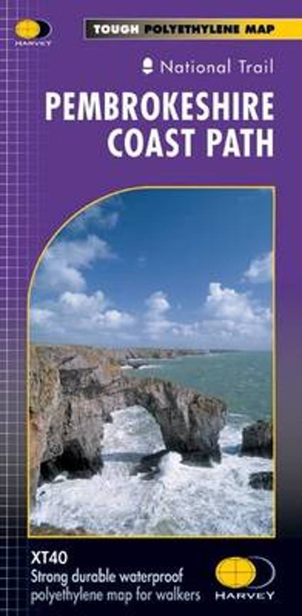
  • Pembroke Coast Path XT40
  • Pembrokeshire Coast Path, a 265km / 165 mile section of the Wales Coast Path, presented at 1:40,000 on a light, waterproof and tear-resistant map from Harvey Map Services. The route is shown on nine panels.Maps in the Harvey Read more
Stanfords
United Kingdom
  • Pembrokeshire Coast Path Harvey National Trail XT40
  • Pembrokeshire Coast Path, a 265km / 165 mile section of the Wales Coast Path, presented at 1:40,000 on a light, waterproof and tear-resistant map from Harvey Map Services. The route is shown on nine panels.Maps in the Harvey’s series covering Great Britain’s national trails and other long-distance footpaths are printed on light, waterproof and... Read more
» Click to close
Bol.com
Netherlands
2010
» Click to open
Bol.com
Belgium
2010
  • St Cuthbert's Way
  • Follow the footsteps of St Cuthbert in this easy-going walk of 62 miles (100 km) from Melrose Abbey in the Scottish borders to the Holy Island of Lindisfarne in the North Sea. The route passes many fine abbeys, hill forts and castles, includes a section of Roman road and finishes with the barefoot Pilgrims' Path across tidal sands. The walk can... Read more
Stanfords
United Kingdom
2010
  • St Cuthbert`s Way Rucksack Reader
  • St Cuthbert`s Way, a 100km /62 miles trail from Melrose Abbey in the Scottish Borders to the Holy Island of Lindisfarne, presented by Rucksack Readers in handy A5 size, spiral-bound, waterproof guide with mapping at 1:100,000. Coverage includes a high-level option over the Cheviot Hills.The guide provides general advice on when to go,... Read more
» Click to close
Stanfords
United Kingdom
Stanfords
United Kingdom
Stanfords
United Kingdom
Stanfords
United Kingdom
Stanfords
United Kingdom
Stanfords
United Kingdom
De Zwerver
Netherlands
2022
» Click to open
Stanfords
United Kingdom
2022
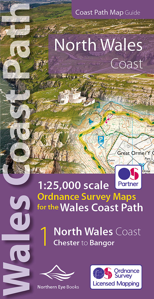
  • North Wales Coast - Chester to Bangor - Wales Coast Path Map-Booklet
  • One of seven handy, lightweight, pocket sized map bookscovering the whole of the 870 mile/1400 kilometre Wales Coast Path. This volume covers North Wales from Chester to Bangor and includes enhanced large scale (1:25,000) Ordnance Survey mapping in a handy atlas format, with extracts from large scale Explorer maps 266, 265, 264 and OL17.The... Read more
The Book Depository
United Kingdom
2022
» Click to close
Stanfords
United Kingdom
» Click to open
The Book Depository
United Kingdom
  • St Oswald's Way
  • Mooie, duidelijke kaart van de St Oswald's Way Noord-Engeland. Geplastificeerd met veel extra informatie en uitsnedes van de route. From Holy Island to Heavenfield, the 97 mile St Oswald's Way links some of the places associated with St Oswaldwho was the King of Northumbria in the early 7th century. The route runs through the... Read more
» Click to close