De Zwerver
Netherlands
Netherlands
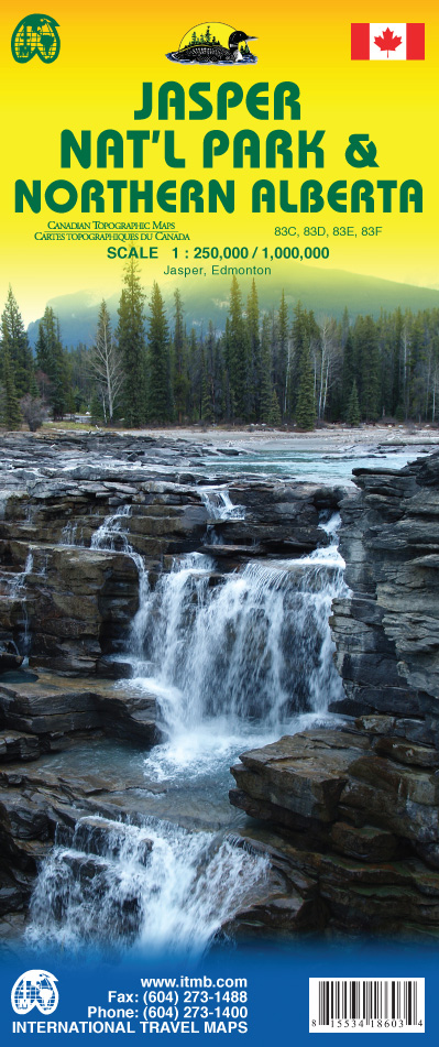
- Wegenkaart - landkaart Jasper National Park & Northern Alberta | ITMB
- Jasper National Park & Northern Alberta 1 : 250 000 / 1 : 1 000 000 ab 10.5 EURO Jasper, Edmonton International Travel Map ITM. 2nd edition Read more