De Zwerver
Netherlands
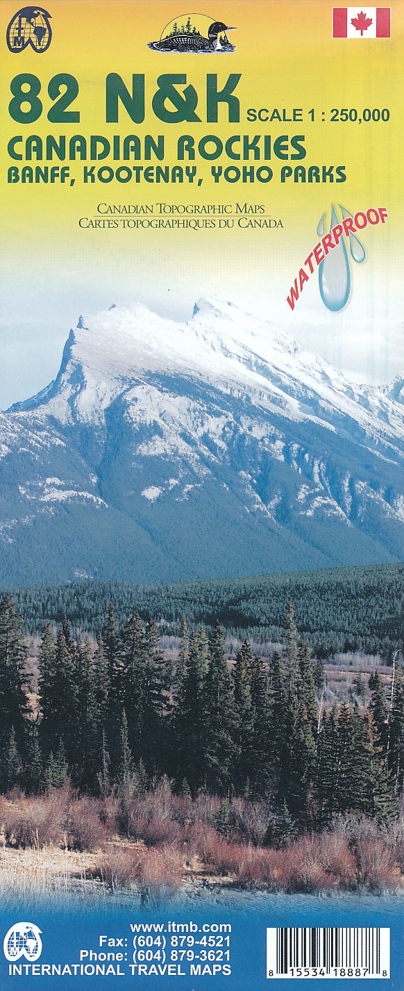
- Topografische kaart 82 N&K Canadian Rockies Banff, Kootenay, Yoho Parks | ITMB
- 1:250,000 scale, 1st Edition, 2008 – This is a fabulous map. The artwork consists of four complete Govt. of Canada Topographic maps (82J, K, N, and O) overprinted with hundreds of touristic attractions – camping sites, hiking trails, canoeing areas, wilderness lodges, youth hostels, golf courses – you name it, it's there. Coverage is from... Read more

Stanfords
United Kingdom
- Canadian Rockies - Banff - Kootenay - Yoho Parks ITMB
- Canadian Rockies: Banff, Kootenay and Yoho National Parks at 1:250,000 in a series of topographic survey maps of selected areas of British Columbia and the Canadian Rockies from ITMB with cartography from Canada’s national survey organization. Most sheets are printed on light, waterproof and tear- resistant plastic paper.Whilst the Canadian... Read more
De Zwerver
Netherlands
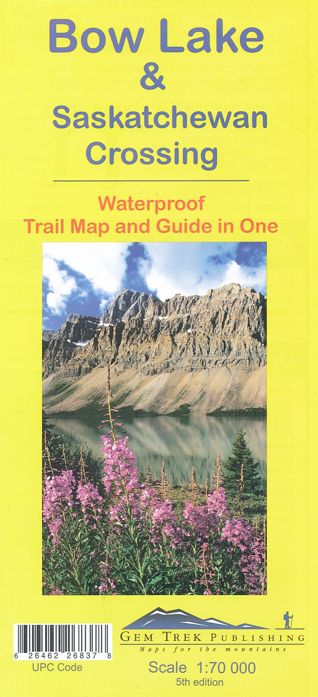
- Wandelkaart 03 Bow Lake and Saskatchewan Crossing | Gem Trek Maps
- Bow Lake - Saskatchewan Crossing region of the Canadian Rockies on a contoured and GPS compatible map at 1:70,000 from Gem Trek with an extension at 1:100,000 to include the Mosquito Creek – Fish Lakes area, plus extensive tourist information on recommended hikes, etc.The map shows trails departing from the southern section of the Icefields... Read more

Stanfords
United Kingdom
- Bow Lake & Saskatchewan Crossing Gem Trek Map
- Bow Lake - Saskatchewan Crossing region of the Canadian Rockies on a contoured and GPS compatible map at 1:70,000 from Gem Trek with an extension at 1:100,000 to include the Mosquito Creek – Fish Lakes area, plus extensive tourist information on recommended hikes, etc.The map shows trails departing from the southern section of the Icefields... Read more
De Zwerver
Netherlands

De Zwerver
Netherlands
- Wandelkaart 901 Banff North National Park | National Geographic
- The northern part of the Banff National Park on a double-sided, contoured, GPS compatible recreational map at 1:100,000 from the National Geographic printed on light, waterproof and tear-resistant synthetic paper. Coverage includes Lake Louise, the Saskatchewan River Crossing and the Columbia Icefield.This title is part of a series of four... Read more
- Also available from:
- Bol.com, Netherlands
- Bol.com, Belgium
- Stanfords, United Kingdom
» Click to open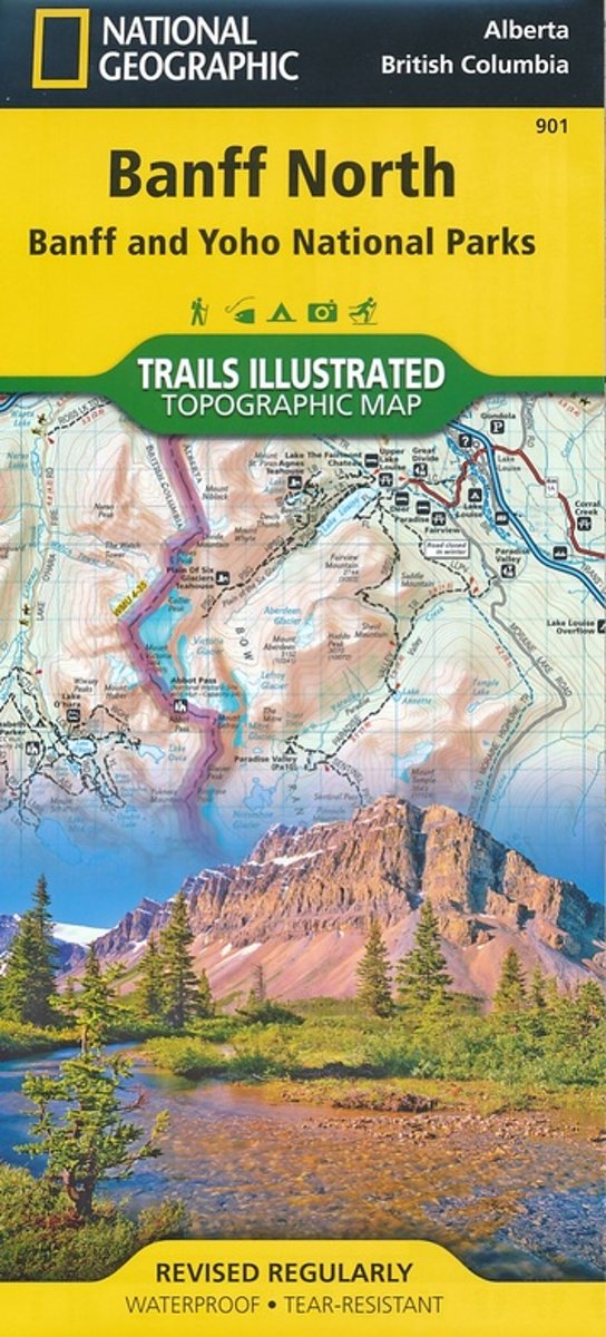
Bol.com
Netherlands
- Banff North
- Waterproof Tear-Resistant Topographic MapNational Geographic's Trails Illustrated map of Banff North is a two-sided, waterproof map designed to meet the needs of outdoor enthusiasts with unmatched durability and detail. This map was created in conjunction with local land management agencies and is loaded with valuable recreation... Read more
Bol.com
Belgium
- Banff North
- Waterproof Tear-Resistant Topographic MapNational Geographic's Trails Illustrated map of Banff North is a two-sided, waterproof map designed to meet the needs of outdoor enthusiasts with unmatched durability and detail. This map was created in conjunction with local land management agencies and is loaded with valuable recreation... Read more

Stanfords
United Kingdom
- Banff North - Banff and Yoho National Parks NGS Trails Illustrated Map 901
- The northern part of the Banff National Park on a double-sided, contoured, GPS compatible recreational map at 1:100,000 from the National Geographic printed on light, waterproof and tear-resistant synthetic paper. Coverage includes Lake Louise, the Saskatchewan River Crossing and the Columbia Icefield.This title is part of a series of four... Read more

Stanfords
United Kingdom
- Prince Albert NP, Saskatchewan
- Prince Albert National Park in Saskatchewan at 1:100,000 in a series of GPS compatible recreational maps at various scales from Go Trekkers highlighting recreational possibilities including trekking and/or snowshoe trails, canoeing and kayaking routes, campgrounds, warden stations, etc.Cartography of each title varies according to the terrain... Read more

Stanfords
United Kingdom
- Saskatchewan MapArt
- Saskatchewan on an indexed road map at 1:1,250,000 with on the reverse street maps of the province’s 10 main towns, including detailed plans of downtown Regina, Saskatoon and Prince Albert, plus a distance table.On one side is a road map of Saskatchewan at 1:1,250,000. Road network indicates paved, gravel and seasonal roads, with distance... Read more

Stanfords
United Kingdom
- Alberta Pocket Road Atlas
- Pocket road atlas of Alberta presenting the whole province at 1:1,325,000, with numerous enlargement showing in more detail most visited areas, including Banff, Jasper, Canmore, Calgary, Edmonton, etc. The index includes a listing of the province’s national and provincial parks.Road network indicates loose surface and unimproved roads, showing... Read more

Stanfords
United Kingdom
- Saskatchewan FastTrack
- Saskatchewan on an indexed road map at 1:1,250,000 with on the reverse street maps of the province’s 10 main towns, including detailed plans of downtown Regina, Saskatoon and Prince Albert, plus a distance table.On one side is a road map of Saskatchewan at 1:1,250,000. Road network indicates paved, gravel and seasonal roads, with distance... Read more

Stanfords
United Kingdom
- Manning Park - Skagit River ITMB
- Manning Park - Skagit River at 1:50,000 in a series of topographic survey maps of selected areas of British Columbia and the Canadian Rockies from ITMB with cartography from Canada’s national survey organization. Most sheets are printed on light, waterproof and tear- resistant plastic paper.Whilst the Canadian Department of Natural Resources... Read more

Stanfords
United Kingdom
- Edmonton AB
- Street plan of Edmonton including coverage of Fort Saskatchewan, Leduc, Sherwood Park and St. Albert. Street plans from the MapArt / Canadian Cartographics Corporation / JDM Géo publishing group are usually produced at scales around 1:25,000 to 1:35,000 with smaller towns often shown at more detailed scales. All plans have street indexes. Plans... Read more

Stanfords
United Kingdom
- Edmonton & Northern Alberta Street Atlas
- Street atlas of Edmonton and northern Alberta, including Beaumont, Bonnyville, Camrose, Cold Lake, Devon, Drayton Valley, Edson, Fort McMurray, Fort Saskatchewan, Grande Prairie, Hinton, Jasper, Lacombe, Leduc, Lloydminster, Morinville, Nisku, Peace River, Ponoka, Red Deer, Rocky Mountain House, St. Albert, St. Paul, Sherwood Park, Slave Lake,... Read more
Stanfords
United Kingdom
- Grasslands National Park: East Block, Saskatchewan
- Grasslands National Park: East Block in Saskatchewan at 1:50,000 in a series of GPS compatible recreational maps at various scales from Go Trekkers highlighting recreational possibilities including trekking and/or snowshoe trails, canoeing and kayaking routes, campgrounds, warden stations, etc.Cartography of each title varies according to the... Read more

Stanfords
United Kingdom
- Alberta & Saskatchewan
- Alberta, including the Banff and Jasper National Parks, and Saskatchewan on an indexed road map presenting both provinces at 1:1,850,000, each accompanied by several street maps of their main cities, including detailed plans of downtown Calgary, Edmonton, Regina and Saskatoon.On one side is a road map of Alberta with coverage extending within... Read more

Stanfords
United Kingdom
- Regina, Moose Jaw, Swift Current & Towns of Southern Saskatchewan
- Double-sided map presenting on one side an indexed street plan of Regina at 1:25,000, accompanied by a road map of southern Saskatchewan at 1:1,500,000 with coverage extending from US border north to Saskatoon. On the reverse Esteban, Kindersley, Mellville, Moose Jaw, Swift Current, Weyburn and Yorktown are shown on separate panels, all at... Read more
Stanfords
United Kingdom
- Saskatoon SK
- Double-sided, indexed street plan of Saskatoon at 1:25,000, with additional panels providing at the same scale indexed street plans of other towns in central and northern Saskatchewan: Battleford and Northern Battleford, Humboldt, Kindersley, La Ronge, Lloydminster, Martensville, Meadow Lake, Melfort, Nipawin, Prince Albert, Tisdale and Warman.... Read more