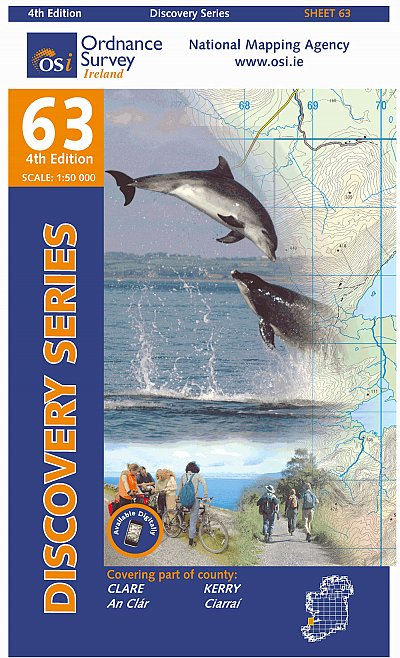
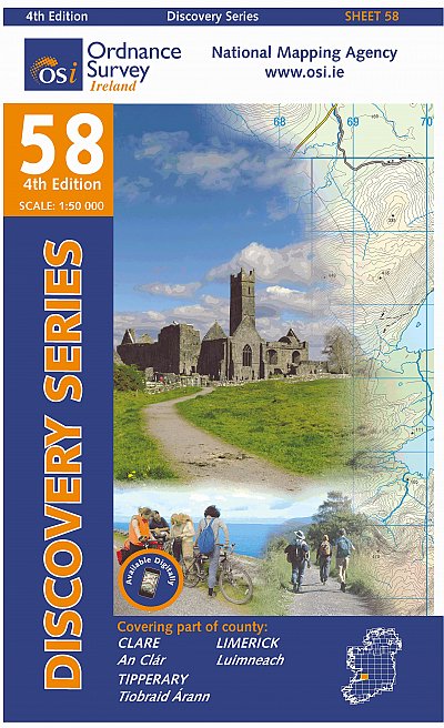
Map No. 63, Clare South-West - Kerry North in the Discovery series from the OSI, the Ordnance Survey of Ireland, which presents the country on detailed topographic maps at 1:50,000, with additional overprint highlighting campsites and caravan parks, youth hostels, etc. Current 4th edition of this map was published in January 2013.Maps in the...Read more
Map No. 63, Clare South-West - Kerry North in the Discovery series from the OSI, the Ordnance Survey of Ireland, which presents the country on detailed topographic maps at 1:50,000, with additional overprint highlighting campsites and caravan parks, youth hostels, etc. Current 4th edition of this map was published in January 2013.Maps in the...Read more
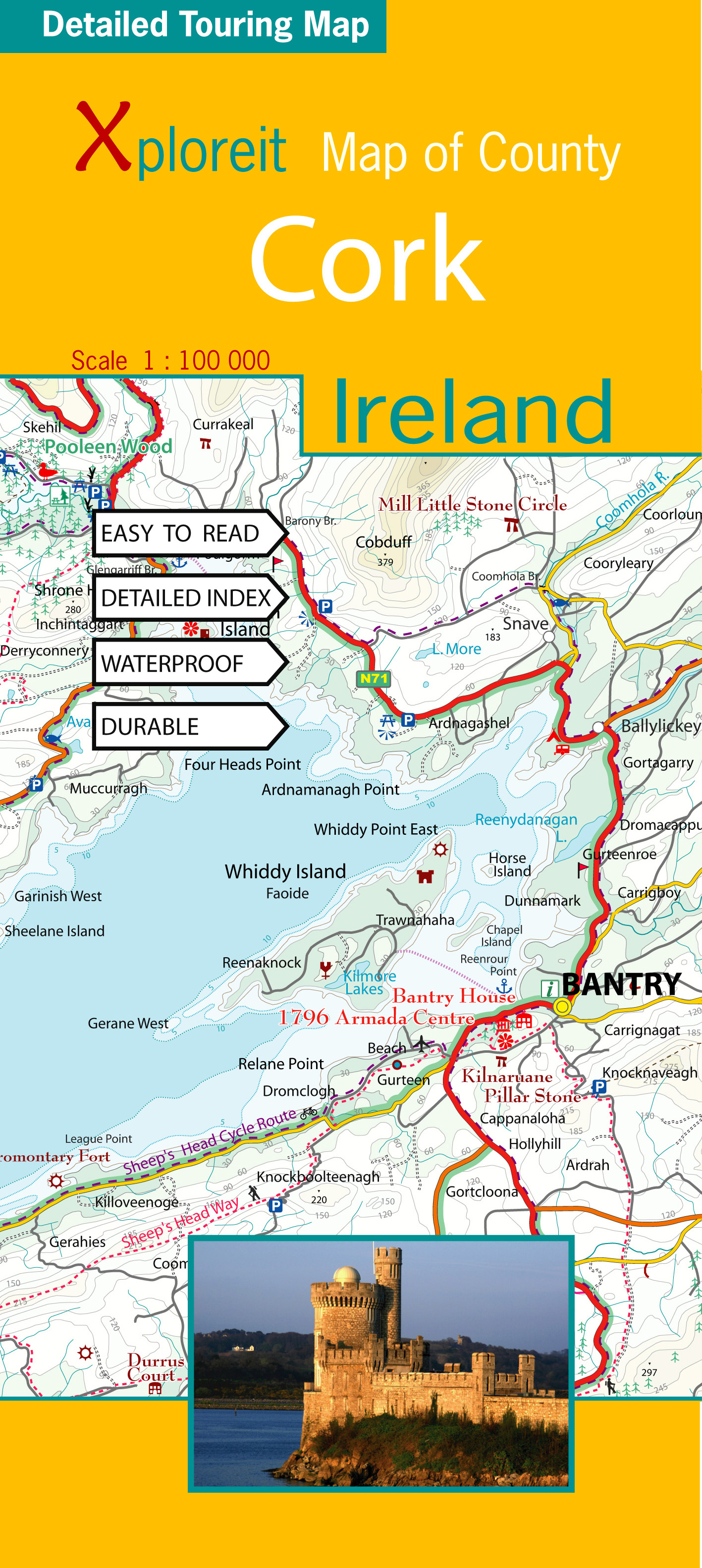
County Cork at 1:100,000 in a series of double-sided, GPS-compatible maps from Xploreit Maps, with contours, altitude colouring, hiking trails and cycling routes, and printed on light, waterproof and tear-resistant plastic paper.Topography is shown by altitude colouring with contours (interval varies) and plenty of names of geographical...Read more
County Cork at 1:100,000 in a series of double-sided, GPS-compatible maps from Xploreit Maps, with contours, altitude colouring, hiking trails and cycling routes, and printed on light, waterproof and tear-resistant plastic paper.Topography is shown by altitude colouring with contours (interval varies) and plenty of names of geographical...Read more