Mt Chelmos (Map and Giude) in a series of waterproof and tear-resistant hiking maps at scales varying from 1:50,000 to 1:10,000, with a UTM grid for GPS users. Contour interval varies depending on the scale, on most maps it is 20m. Relief shading, spot heights, springs, seasonal streams and, in most titles, landscape/land-use variations, e.g....Read more
Gedetailleerde wegenkaart en wandelkaart met alle kleine wegen, wandelpaden, hoogtelijnen en toeristische informatie aangegeven. Alle tekst is tweetalig in Engels en Grieks en de waterproof kaart is geschikt voor gebruik met GPS.Read more
Mount Menalo in central Peloponnese at 1:50,000 on a light, waterproof and tear-resistant, contoured and GPS compatible map from Anavasi, showing local paths including 11 recommended hiking trails. The map is indexed and includes the town on Tripoli in the south-eastern corner. The area is presented on two different maps. On one side is a...Read more
Mount Menalo in central Peloponnese at 1:50,000 on a light, waterproof and tear-resistant, contoured and GPS compatible map from Anavasi, showing local paths including 11 recommended hiking trails. The map is indexed and includes the town on Tripoli in the south-eastern corner. The area is presented on two different maps. On one side is a...Read more
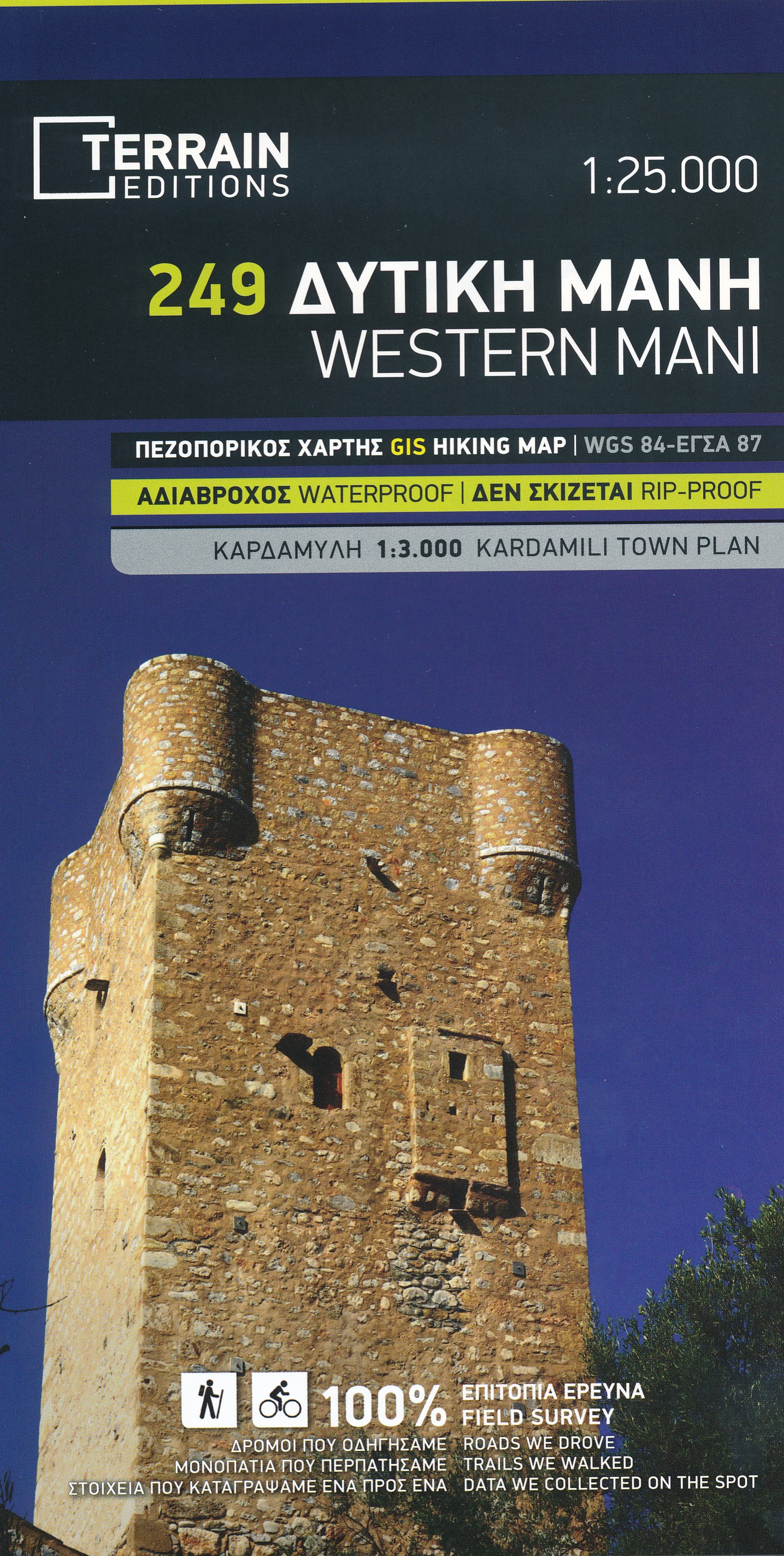
Topografische wandelkaart van het westelijk deel van Mani (Griekenland). De kaarten omvatten wandelpaden, fietsroutes, alle stranden, klimroutes met ingangen, canyoning-routes. Op de achterkant van de kaart worden toeristische informatie (in het Engels) en foto's afgedrukt. GPS-compatibel (UTM-raster). Ook met een kleine plattegrond van Kardamili.Read more
Western Mani at 1:25,000 in an expanding series of maps from Terrain Editions with information for hiking, biking, rock climbing, canyoning and trail running, printed on light, waterproof and tear-resistant plastic paper. Contours are at 20m intervals. In addition to outdoor activities, the map indicates practical and touristic information, and...Read more
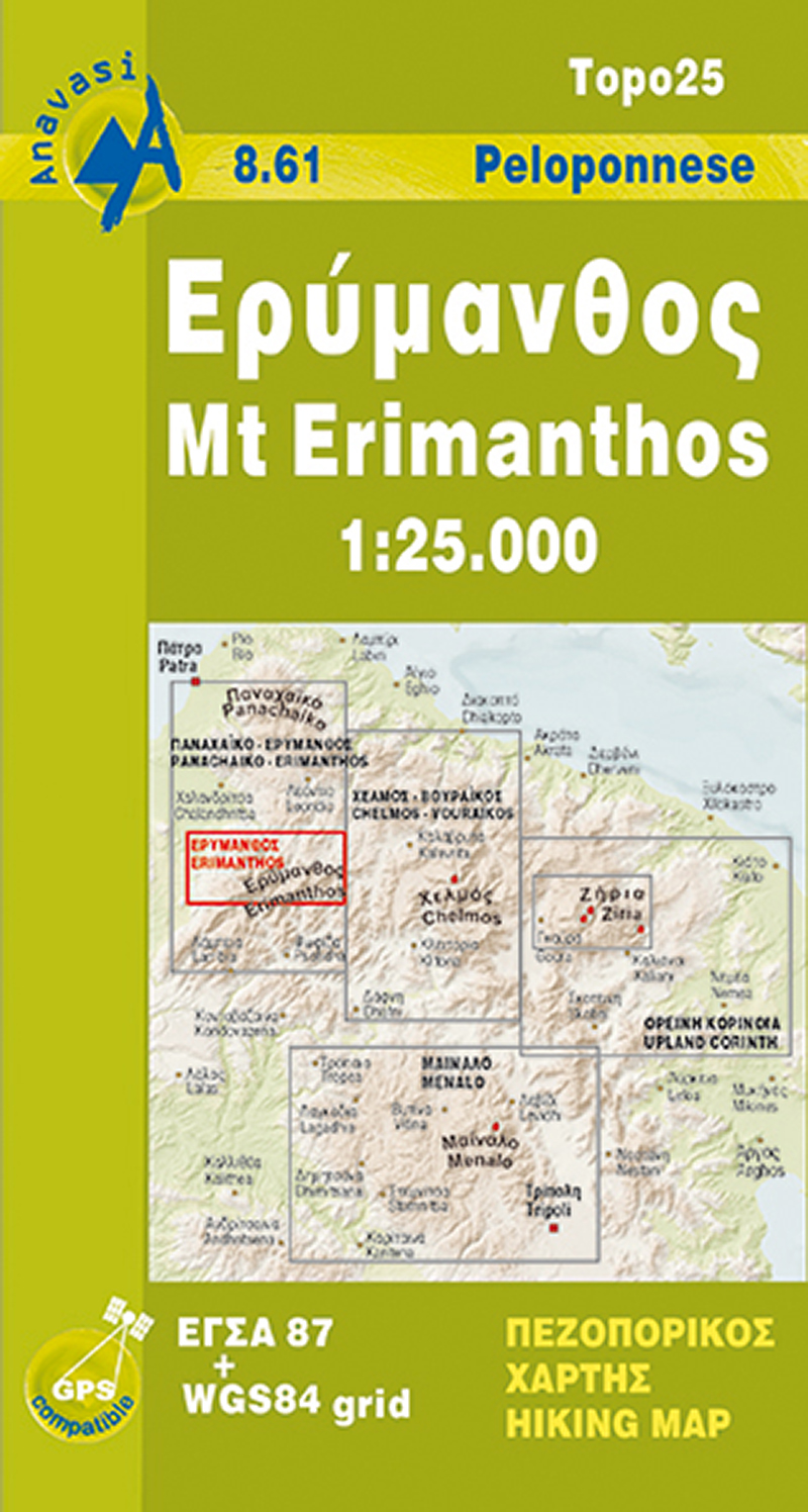
Mt Erymanthos in a series of waterproof and tear-resistant hiking maps at scales varying from 1:50,000 to 1:10,000, with a UTM grid for GPS users. Contour interval varies depending on the scale, on most maps it is 20m. Relief shading, spot heights, springs, seasonal streams and, in most titles, landscape/land-use variations, e.g. forests,...Read more
Mt Erymanthos in a series of waterproof and tear-resistant hiking maps at scales varying from 1:50,000 to 1:10,000, with a UTM grid for GPS users. Contour interval varies depending on the scale, on most maps it is 20m. Relief shading, spot heights, springs, seasonal streams and, in most titles, landscape/land-use variations, e.g. forests,...Read more
Ziria is de tweede hoogste berg van de Peloponnesos. Ondanks zijn hoogte heeft het een mild reliëf en vruchtbare gebieden. Grote plateaus en dalen kenmerkt dit berglandschap en onder hen liggen de twee grote bassins van Feneos en Stimfalia. De nieuwe Anavasi-kaart, in de schaal 1: 30.000, is dubbelzijdig en omvat het gebied rond de berg. Het...Read more
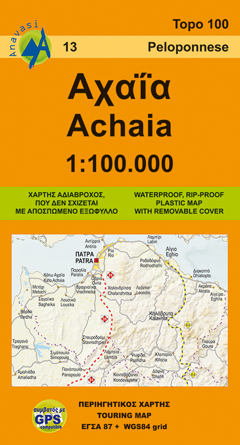
Achaia province with a plan of central Patras in a series from Anavasi covering selected popular areas of central mainland Greece and the Peloponnese with GPS compatible, detailed topographic road maps at 1:100,000, printed on waterproof and tear-resistant paper. The plan of central Patras is conveniently places on the detachable map...Read more
Achaia province with a plan of central Patras in a series from Anavasi covering selected popular areas of central mainland Greece and the Peloponnese with GPS compatible, detailed topographic road maps at 1:100,000, printed on waterproof and tear-resistant paper. The plan of central Patras is conveniently places on the detachable map...Read more