De Zwerver
Netherlands
2022
Netherlands
2022
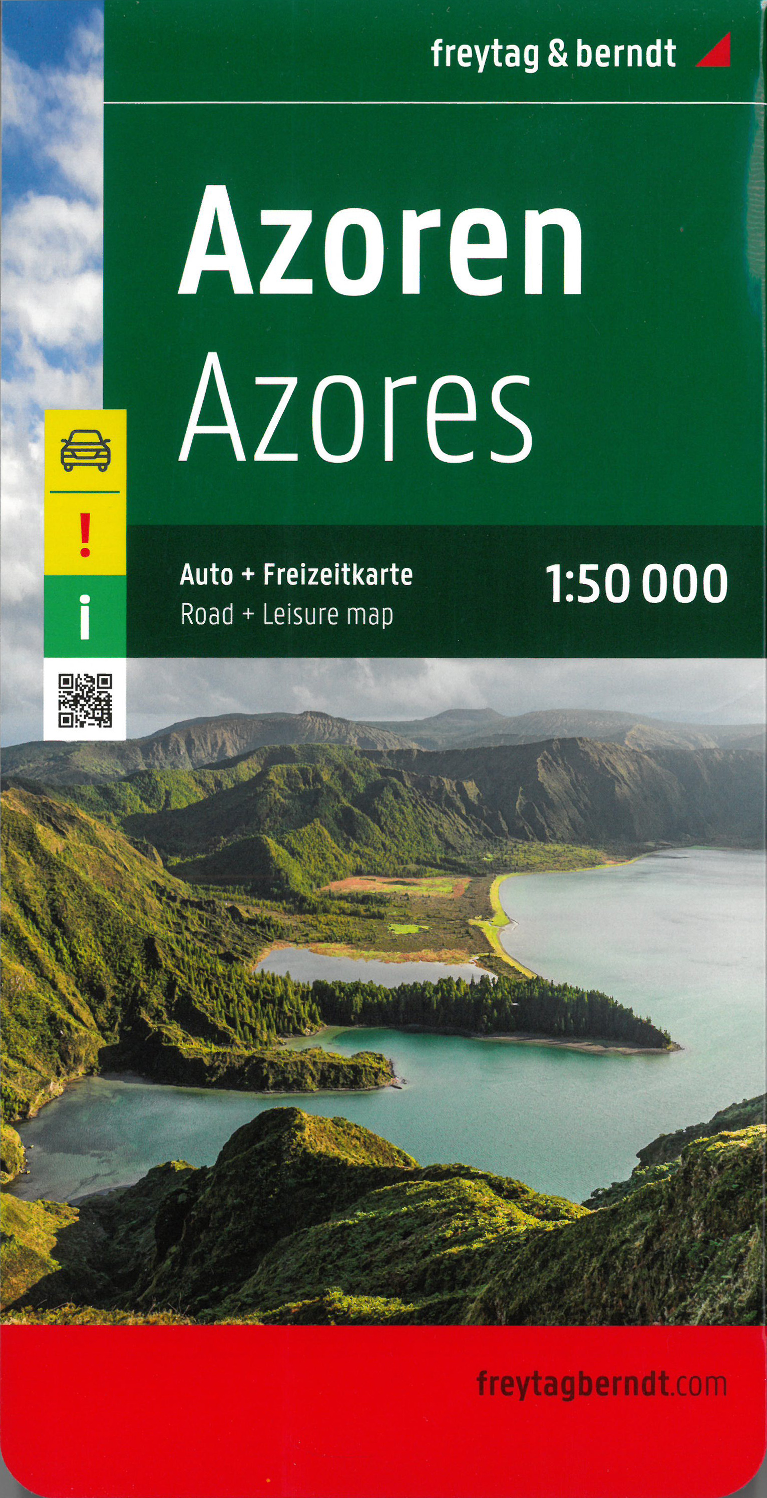
- Wegenkaart - landkaart Azoren - Azores | Freytag & Berndt
- This large double-sided road map of the Azores, at 1:50,000 from Freytag & Berndt, shows the islands both individually and as a group and comes with an attached index and concise leisure guide booklet. This map shows main and minor roads, motorways and toll roads, sections under construction or closed to traffic. Conveniently highlighted are... Read more
- Also available from:
- Stanfords, United Kingdom

Stanfords
United Kingdom
2022
United Kingdom
2022
- Azores F&B
- This large double-sided road map of the Azores, at 1:50,000 from Freytag & Berndt, shows the islands both individually and as a group and comes with an attached index and concise leisure guide booklet. This map shows main and minor roads, motorways and toll roads, sections under construction or closed to traffic. Conveniently highlighted are... Read more