De Zwerver
Netherlands
2015
Netherlands
2015
- Wandelgids P433 Le Pays de l'Emblavez à pied | FFRP
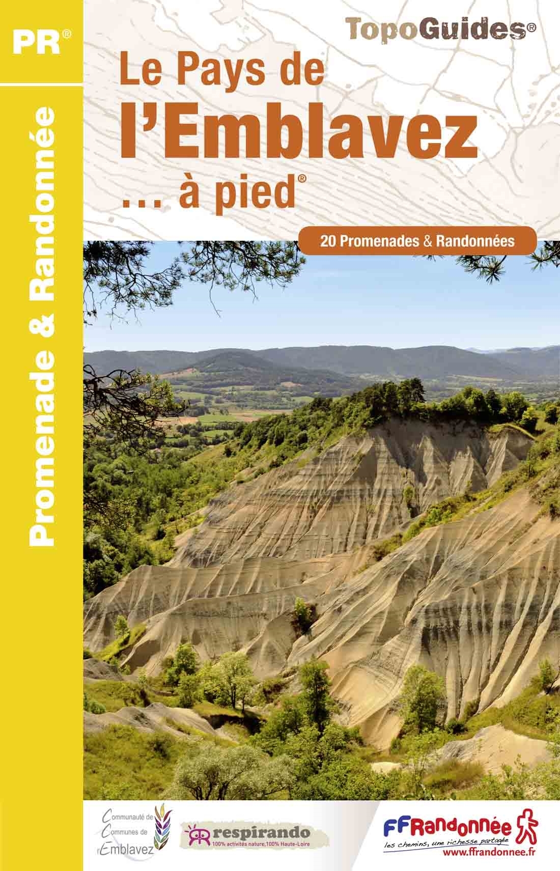
- FFR Le Pays de l'Emblavez à pied (P433)Au nord du Puy-en-Velay, sucs volcaniques et villages aux toits de lauzes. Nouvelle édition refonte 2015. Read more
- Also available from:
- Stanfords, United Kingdom

Stanfords
United Kingdom
2015
United Kingdom
2015
- Le Pays de l`Emblavez à pied FFRP Topo-guide No. P433
- Le Pays de l`Emblavez à pied, FFRP topo-guide Ref. No. P433, with 20 day walks of varying length and difficulty in the hills north of Le Puy-en-Velay. Each walk is presented on a separate colour extract from IGN’s topographic survey of France at 1:25,000, with its description cross-referenced to the map. Current edition of this title was... Read more