De Zwerver
Netherlands
Netherlands
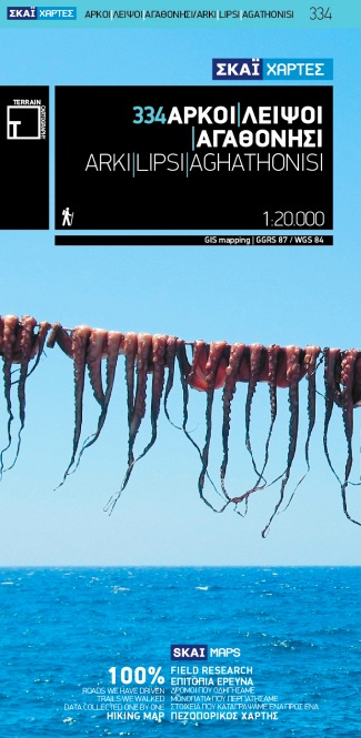
- Wandelkaart 334 Arki - Lipsi - Aghathonisi | Terrain maps
- Arki (Arkoi), Lipsi and Aghathonisi at 1:20,000 on a contoured, GPS compatible hiking map published by Terrain Cartography group together with Skai Maps, and printed on light, waterproof and tear-resistant Polyart plastic paper, with extensive tourist information.Topography is very well presented by contours, enhanced by spot heights, subtle... Read more
- Also available from:
- Stanfords, United Kingdom

Stanfords
United Kingdom
United Kingdom
- Arki - Lipsi - Aghathonisi Terrain Editions 334
- Greek islands of Arki (Arkoi), Lipsi and Aghathonisi on a light, waterproof and tear-resistant, contoured and GPS compatible map at 1:20,000 from Terrain Editions. On the reverse are notes about the three islands, illustrated with colour photos. All place names are shown in both Greek and Latin alphabet. Map legend and all the text include... Read more