De Zwerver
Netherlands
Netherlands
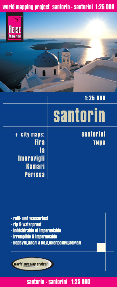
- Wandelkaart - Wegenkaart - landkaart Santorini | Reise Know-How Verlag
- Goede overzichtelijke detailkaart met wandelroutes maar ook toeristische informatie. Op scheur en watervast papier gedrukt! Tweetalige kaart (Engels en Duits). Door ingetekende lengte- en breedtegraden is het gebruik van GPS mogelijk. Met hoogtelijnen en uitgebreid wegennetwerk: daarnaast worden ook de afstanden tussen belangrijke plaatsen... Read more
- Also available from:
- Stanfords, United Kingdom

Stanfords
United Kingdom
United Kingdom
- Santorini Reise Know-How
- Santorini at 1:25,000 on waterproof and tear-resistant, indexed and GPS compatible map with, on the reverse, five large street plans of Fira (Thira) Ia, Imerovogli, Kamari and Perissa and maps of archaeological sites at Old Thira and Akrotiri, plus a map of the whole of the Cyclades with notes on how the island’s characteristic shape was... Read more