De Zwerver
Netherlands
» Click to open
Stanfords
United Kingdom
  • Montnegre - Corredor Editorial Alpina 2-Map Set
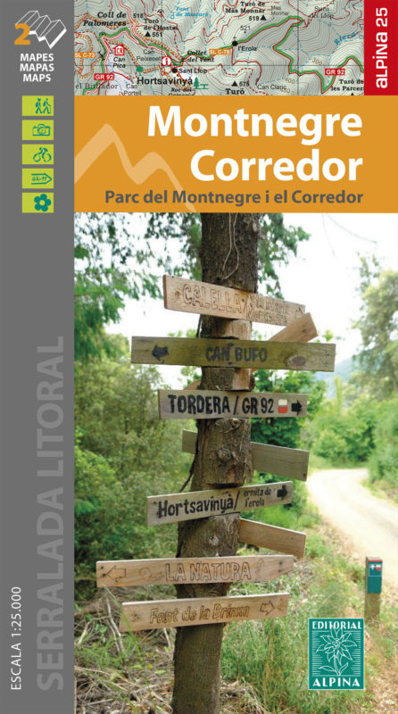
  • The Montnegre - Corredor Natural Park on the Costa Brava presented by Editorial Alpina at 1:25,000 on a contoured and GPS compatible map with an overprint highlighting hiking trails, various accommodation options, etc.Topography is shown by contours at 10m intervals, relief shading and vegetation colouring. In addition to footpaths, the... Read more
» Click to close
De Zwerver
Netherlands
2024
De Zwerver
Netherlands
» Click to open
Stanfords
United Kingdom
  • Zaragoza Province 200K CNIG Map No. 48
  • Contoured, GPS-compatible, indexed road map at 1:200,000 from CNIG - Spain’s civilian survey organization, with exceptionally informative presentation of the landscape and highlighting for facilities and places of interest including campsites and paradors.Maps in CNIG’s 200K Provincial Series provide an excellent picture the topography through... Read more
» Click to close
De Zwerver
Netherlands
De Zwerver
Netherlands
De Zwerver
Netherlands
» Click to open
Stanfords
United Kingdom
» Click to close
De Zwerver
Netherlands
De Zwerver
Netherlands
2024
De Zwerver
Netherlands
» Click to open
Stanfords
United Kingdom
  • Tarragona Province 200K CNIG Map No. 42
  • Contoured, GPS-compatible, indexed road map at 1:200,000 from CNIG - Spain’s civilian survey organization, with exceptionally informative presentation of the landscape and highlighting for facilities and places of interest including campsites and paradors.Maps in CNIG’s 200K Provincial Series provide an excellent picture the topography through... Read more
» Click to close
De Zwerver
Netherlands
De Zwerver
Netherlands
De Zwerver
Netherlands
De Zwerver
Netherlands
De Zwerver
Netherlands
2014
» Click to open
Stanfords
United Kingdom
2014
  • Girona Province 200K CNIG Map No. 18
  • Contoured, GPS-compatible, indexed road map at 1:200,000 from CNIG - Spain’s civilian survey organization, with exceptionally informative presentation of the landscape and highlighting for facilities and places of interest including campsites and paradors.Maps in CNIG’s 200K Provincial Series provide an excellent picture the topography through... Read more
» Click to close
De Zwerver
Netherlands
» Click to open
Stanfords
United Kingdom
  • Collserola Parc Natural Editorial Alpina
  • Collserola Natural Park in an extensive and very popular series of walking maps from Editorial Alpina covering the Pyrenees, Catalonia and other selected hiking areas in Spain, including Picos de Europa, Sierra Nevada and parts of Andalucía, Majorca, etc. Scales vary from 1:50,000 to 1:10,000, with the majority of the titles at 1:25,000. The... Read more
» Click to close