De Zwerver
Netherlands
De Zwerver
Netherlands
De Zwerver
Netherlands
2019
De Zwerver
Netherlands
2023
De Zwerver
Netherlands
2019
De Zwerver
Netherlands
2020
De Zwerver
Netherlands
2022
De Zwerver
Netherlands
2024
De Zwerver
Netherlands
2022
» Click to open
Stanfords
United Kingdom
2022
  • Ben Nevis - Mamores & Grey Corries Harvey Superwalker XT25
  • Ben Nevis with the Mamores and Grey Corries ranges at 1:25,000 on a double-sided, waterproof and tear-resistant map from Harvey Map Services in their Superwalker series, with the peak area also shown in greater detail at 1:12,500. The map divides the area north/south, with a good overlap between the sides, extending from Fort William past Loch... Read more
» Click to close
De Zwerver
Netherlands
De Zwerver
Netherlands
2019
De Zwerver
Netherlands
2022
De Zwerver
Netherlands
2014
» Click to open
Stanfords
United Kingdom
2014
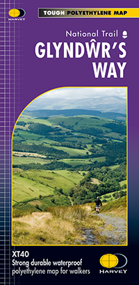
  • Glyndwr`s Way Harvey National Trail XT40
  • Glyndwr`s Way, a 217km / 135 mile long trail from Knighton in Powys to Welshpool presented at 1:40,000 on a GPS compatible, light, waterproof and tear-resistant map from Harvey Map Services. The whole route is covered on eight overlapping panels. Map legend includes Welsh; most of the additional information is in English only.Maps in the... Read more
» Click to close
De Zwerver
Netherlands
2017
De Zwerver
Netherlands
2019
» Click to open
Stanfords
United Kingdom
2019
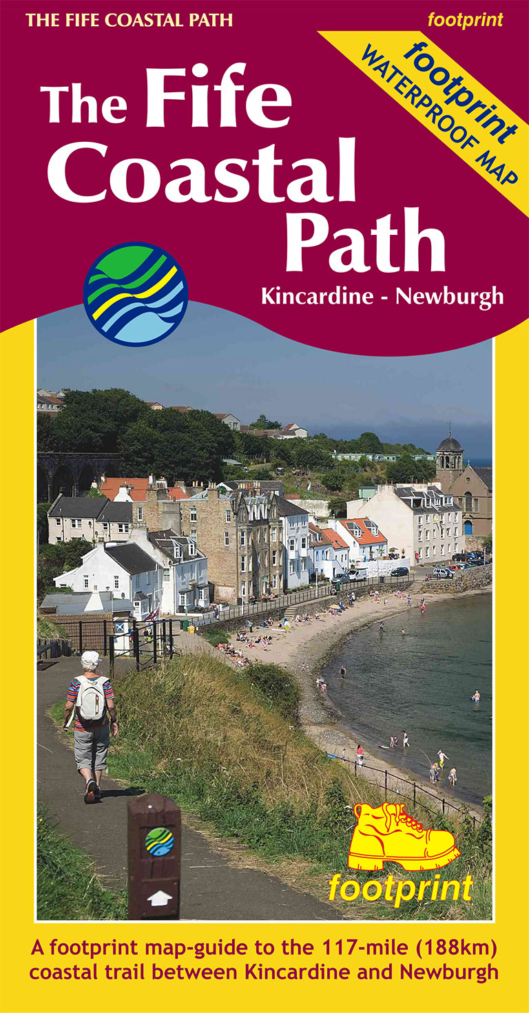
  • The Fife Coastal Path - Kincardine to Newburgh
  • High quality, specially created strip map of this unique 117 mile coastal path from the Kincardine Bridge to Newburgh on the Firth of Tay.This new edition contains maps of the whole route, at 1:40,000 and based on OS data. Compact and concise, the map is printed on waterproof paper and is supplied in a durable slipcase.For every copy of this... Read more
» Click to close