De Zwerver
Netherlands
Netherlands
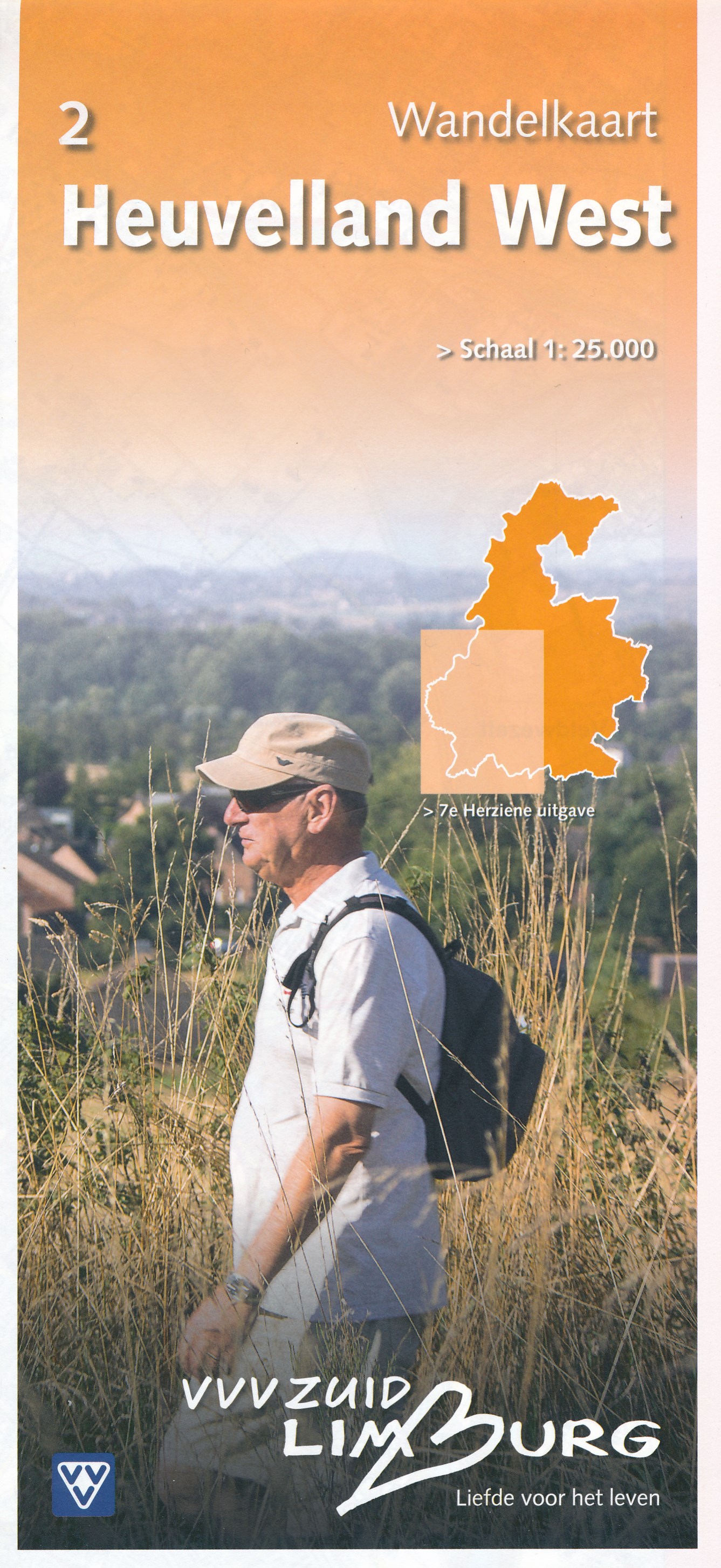
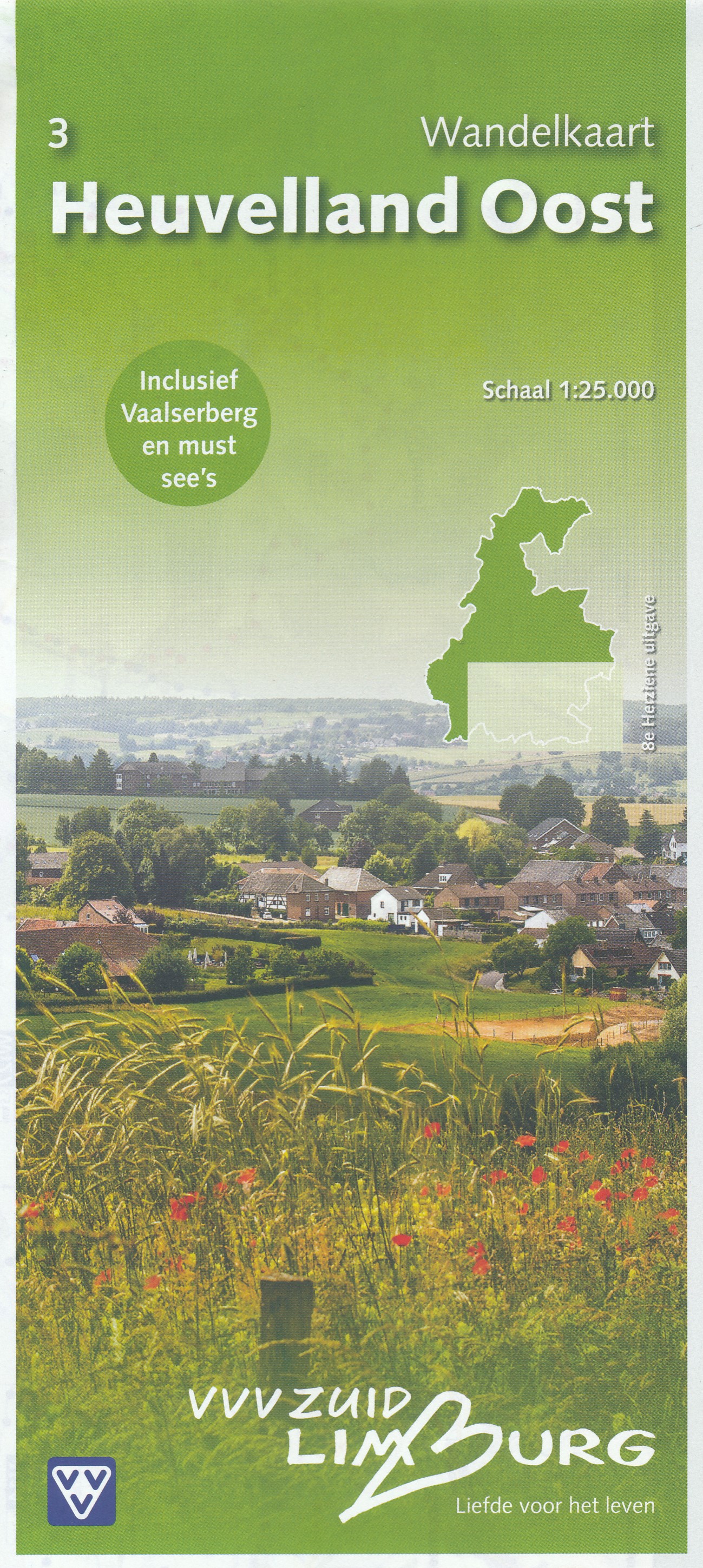
- Wandelkaart - Topografische kaart 3 Heuvelland Oost | VVV Zuid Limburg
- Wandelkaart 3 Heuvelland Oost heeft een schaal van 1: 25.000 en heeft een topografische ondergrond. De wandelingen, die via gekleurde paaltjes route gaat, zijn gelegen in de Gemeenten Gulpen-Wittem, Simpelveld en Vaals. Tevens zijn er ook wandelingen in delen van de gemeenten Heerlen, Kerkrade, Landgraaf en Nuth. Voor de echte wandel... Read more