De Zwerver
Netherlands
» Click to open
Stanfords
United Kingdom
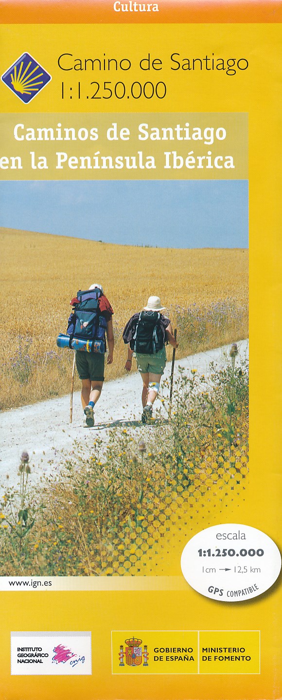
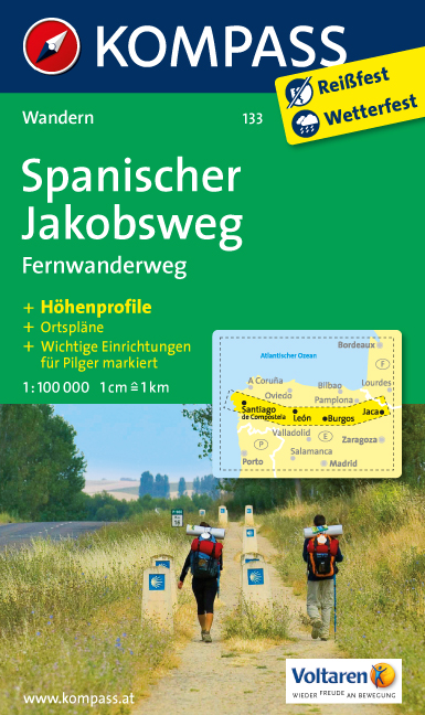
  • The Way of St. James to Compostela: Spanish Section
  • The main route of the Way of St James to Compostela across northern Spain presented at 1:100,000 on a durable, waterproof and tear-resistant map from Kompass, arranged as 26 separate strips, each with a route profile, plus additional street plans of central Logroño, Burgos, León and Santiago itself.The whole route is covered on 26 panels, each... Read more
» Click to close
De Zwerver
Netherlands
2016
» Click to open
Stanfords
United Kingdom
2016
  • The Cretan Way - A 28 Day Walk
  • The Cretan Way is a 500km walking route which takes you from east to west across the varied and spectacular landscapes of Crete. It is the ideal way to discover the rural, mountainous and costal regions of this incredible island. This guide is based on a 28-day walk.This guide includes practical information, maps at a scale of 1:25.000 of... Read more
» Click to close
De Zwerver
Netherlands
2020
De Zwerver
Netherlands
» Click to open
Stanfords
United Kingdom
» Click to close
De Zwerver
Netherlands
De Zwerver
Netherlands
» Click to open
Stanfords
United Kingdom
  • Stara Planina Central: Uzana to Vratnik Domino Map
  • Stara Planina Central: Uzana to Vratnik map at 1:50,000 from Bulgarian publishers Domino, contoured and GPS compatible, with hiking trails, accommodation options including a list of local mountain refuges, etc. The map is double-sided and covers the mountains from just west of the Uzana massif, the geographical centre of Bulgaria, eastwards to... Read more
» Click to close
De Zwerver
Netherlands
» Click to open
Stanfords
United Kingdom
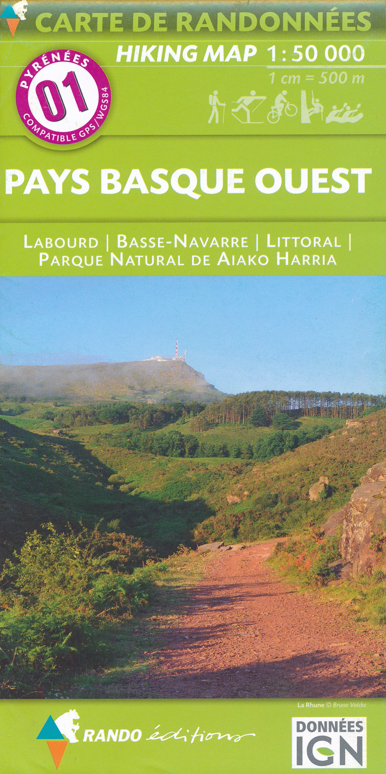
  • Pays Basque West Rando Editions 1
  • The westernmost section of the French Pyrenees between the Atlantic coast and St-Jean-Pied-de-Port on a contoured and GPS compatible map at 1:50,000 from Rando Editions with topographic base provided by the IGN, highlighting local and long-distance hiking trails, cycle and mountain bike routes, etc. Coverage along the Atlantic coast starts at... Read more
» Click to close
De Zwerver
Netherlands
» Click to open
Stanfords
United Kingdom
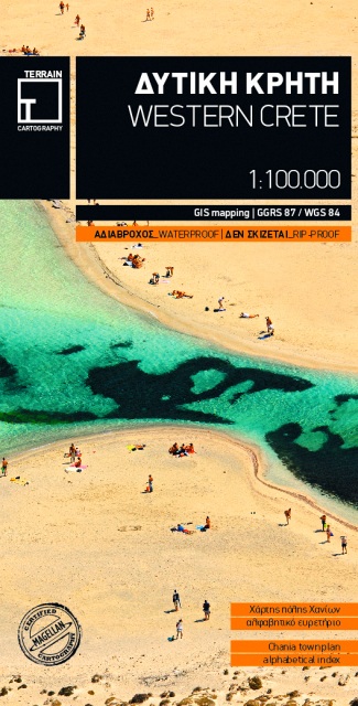
  • Western Crete Terrain Editions 448
  • Western Crete at 1:100,000 on an indexed, GPS compatible road map from Terrain Editions, printed on light, waterproof and tear-resistant plastic paper, with a street plan of central Chania.This title is part of a series which covers Crete in three sheets. The maps have contours at 100m intervals, enhanced by relief shading with spot heights and... Read more
» Click to close
De Zwerver
Netherlands
De Zwerver
Netherlands
» Click to open
Stanfords
United Kingdom
  • Ramonville-Saint-Agne - Villefranche-de-Lauragais IGN 2144SB
  • Topographic survey of France at 1:25,000 in IGN`s excellent TOP25 / Série Bleue series. All the maps are GPS compatible, with a 1km UTM grid plus latitude and longitude lines at 5’ intervals. Contours are at 5m intervals except for mountainous areas where the maps have contours at 10m intervals, vividly enhanced by hill shading and graphics for... Read more
» Click to close
De Zwerver
Netherlands
» Click to open
Stanfords
United Kingdom
» Click to close
De Zwerver
Netherlands
» Click to open
Stanfords
United Kingdom
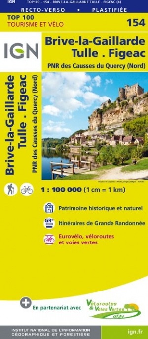
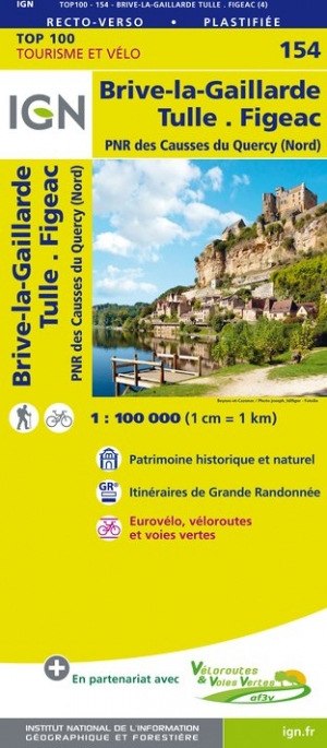
  • Pau - Auch - Mont-de-Marsan - Gascogne IGN TOP100 159
  • Discover the new double-sided laminated edition of TOP100 road maps of France from the Institut Géographique National (IGN); exceptionally detailed, contoured road maps which include the cycle paths and greenways of the AF3V (French Association for the Development of Cycle Paths and Greenways), ideal for exploring the French countryside by car,... Read more
» Click to close
De Zwerver
Netherlands
» Click to open
Stanfords
United Kingdom
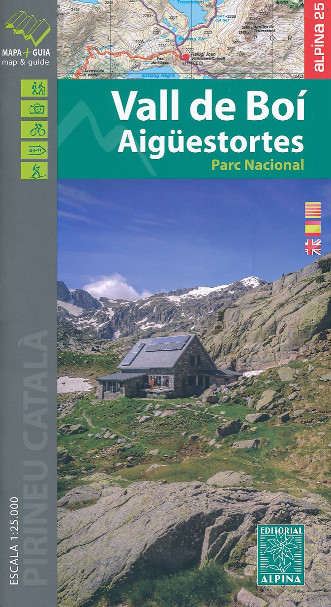
  • Vall de Boí - Aigüestortes PN Editorial Alpina
  • Vall de Boi area of the Spanish Pyrenees, including the western half of the Aigüestortes i Estany de Sant Maurici National Park, presented on a contoured and GPS compatible map at 1:25,000 from Editorial Alpina. The map has contours at 10m intervals, enhanced by relief shading with plenty of spot heights, plus colouring for different types of... Read more
» Click to close
De Zwerver
Netherlands
» Click to open
Stanfords
United Kingdom
» Click to close
De Zwerver
Netherlands
» Click to open
Stanfords
United Kingdom
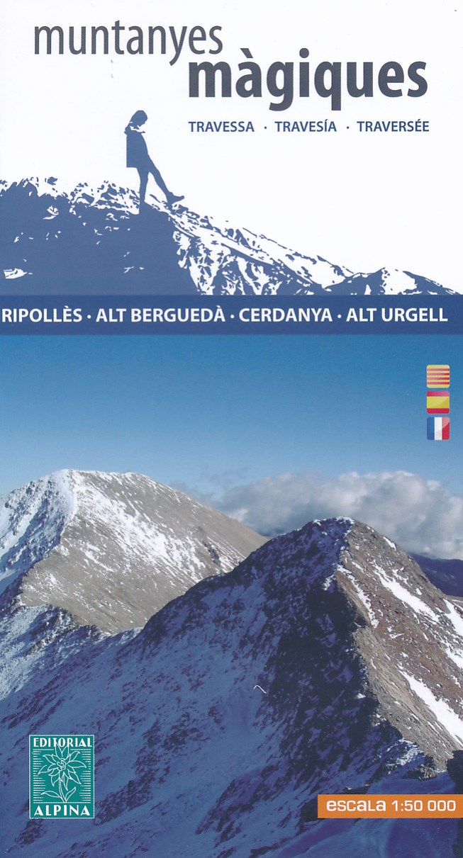
  • Muntanyes Màgiques / Magical Mountains Hiking Trail
  • Muntanyes Màgiques / Magical Mountains Hiking Trail, a 98km-long hiking route along the peaks and the foothills of eastern Pyrenees presented by Editorial Alpina at 1:50,000 on a contoured and GPS compatible map. The route starts in Ribes de Freser and climbs northwards to follow a section of the Spanish/French border before continuing... Read more
» Click to close