De Zwerver
Netherlands
Netherlands
- Topografische kaart - Wandelkaart 25 Discovery Sligo, Leitrim, Roscommon | Ordnance Survey Ireland
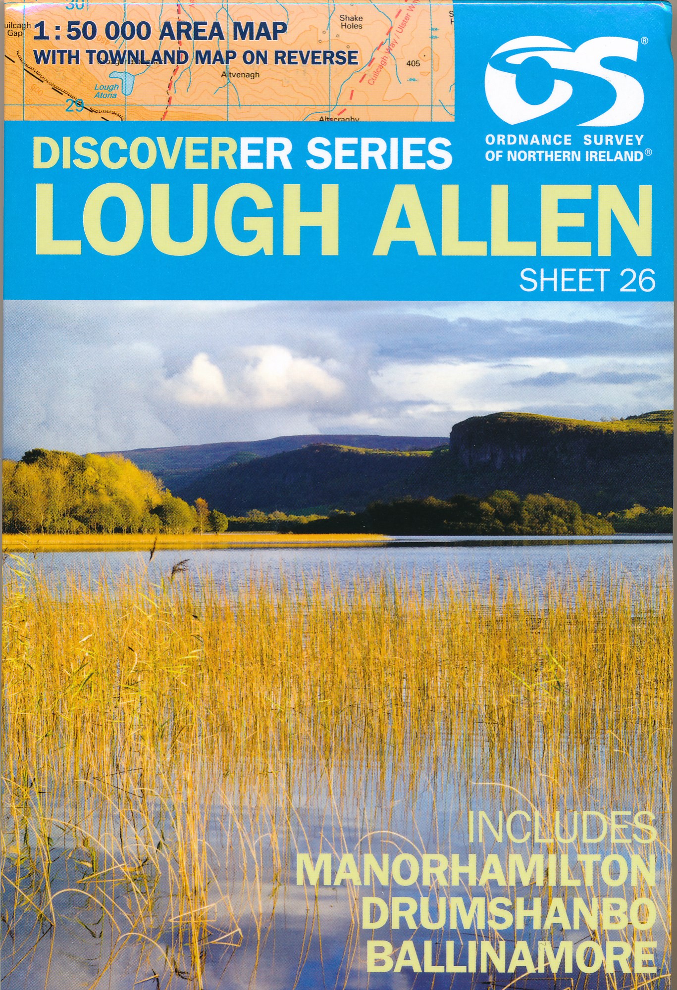
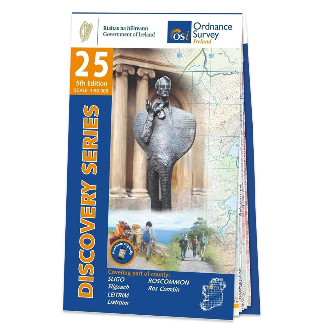
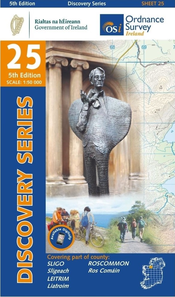
- Map No. 25, Sligo Central in the Discovery series from the OSI, the Ordnance Survey of Ireland, which presents the country on detailed topographic maps at 1:50,000, with additional overprint highlighting campsites and caravan parks, youth hostels, etc. Current 4th edition of this title was published in September 2012.Maps in the Discovery... Read more
- Also available from:
- Stanfords, United Kingdom

Stanfords
United Kingdom
United Kingdom
- Sligo - Leitrim - Roscommon OSI Discovery 25
- Map No. 25, Sligo Central in the Discovery series from the OSI, the Ordnance Survey of Ireland, which presents the country on detailed topographic maps at 1:50,000, with additional overprint highlighting campsites and caravan parks, youth hostels, etc. Current 4th edition of this title was published in September 2012.Maps in the Discovery... Read more