De Zwerver
Netherlands
Netherlands
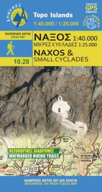
- Wandelkaart - Wegenkaart - landkaart 10.28 Naxos | Anavasi
- Naxos on light, a waterproof and tear-resistant, contoured and GPS compatible map at 1:40,000 from Anavasi, highlighting 10 recommended hiking trails, plus on the reverse coverage of six smaller nearby islands in the Cyclades: Donoussa, Irakleia, Schoinousa / Schinousa, Upper and Lower Koufonisi, plus Keros.On one side is the map of Naxos.... Read more
- Also available from:
- Stanfords, United Kingdom

Stanfords
United Kingdom
United Kingdom
- Naxos & Small Cyclades Anavasi 10.28
- Naxos on light, a waterproof and tear-resistant, contoured and GPS compatible map at 1:40,000 from Anavasi, highlighting 10 recommended hiking trails, plus on the reverse coverage of six smaller nearby islands in the Cyclades: Donoussa, Irakleia, Schoinousa / Schinousa, Upper and Lower Koufonisi, plus Keros.On one side is the map of Naxos.... Read more