De Zwerver
Netherlands
De Zwerver
Netherlands
De Zwerver
Netherlands
De Zwerver
Netherlands

Stanfords
United Kingdom
- Columbia River Gorge OR/WA NGS Trails Illustrated Map 821
- Map No. 821, Columbia River Gorge in Oregon and Washington State, in an extensive series of GPS compatible, contoured hiking maps of USA’s national and state parks or forests and other popular recreational areas. Cartography based on the national topographic survey, with additional tourist information.The maps, with most titles now printed on... Read more
De Zwerver
Netherlands

Stanfords
United Kingdom
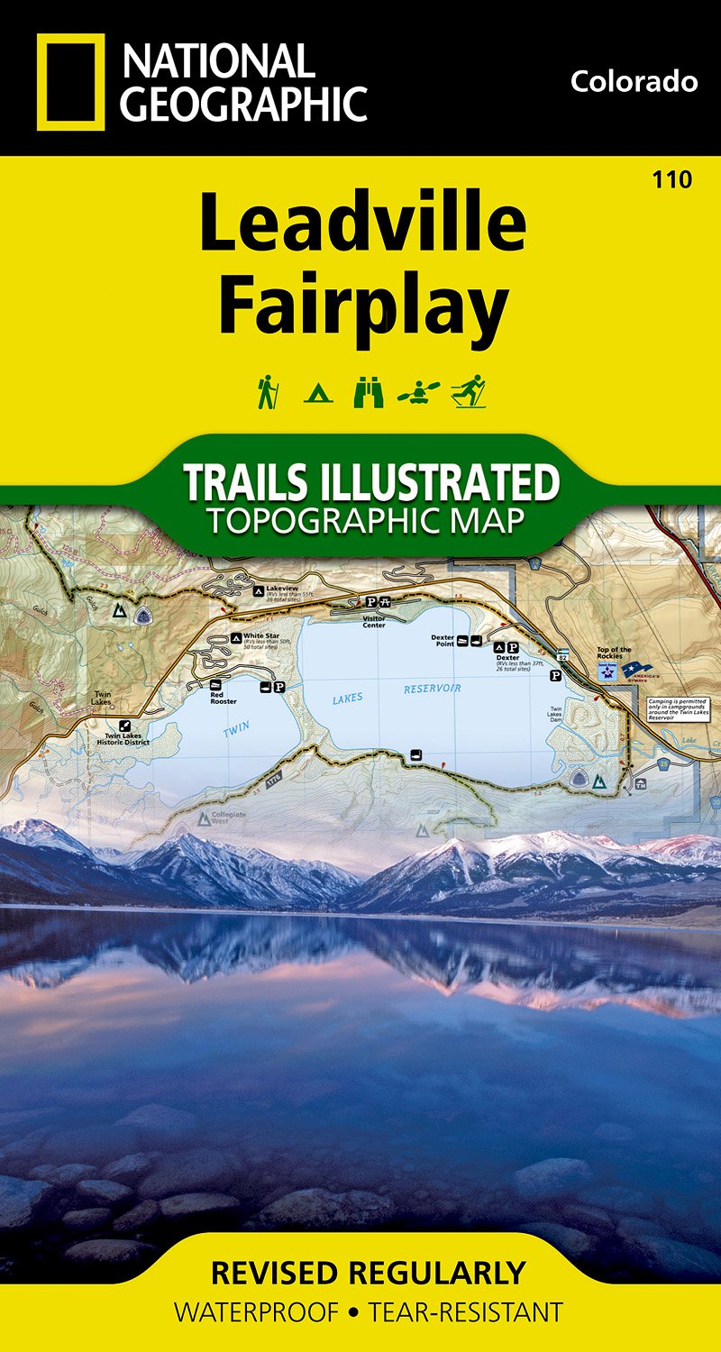
- Leadville - Fairplay CO
- Map No. 110, Leadville - Fairplay area in Colorado in an extensive series of GPS compatible, contoured hiking maps of USA’s national and state parks or forests and other popular recreational areas. Cartography based on the national topographic survey, with additional tourist information.The maps, with most titles now printed on light,... Read more

De Zwerver
Netherlands
- Wegenkaart - landkaart USA Interstate | Borch
- USA Interstate 1 : 4 000 000 ab 9.9 EURO Einzelkarten: USA West 1:4 Mio. , USA East 1:4 Mio. , Puerto Rico 1:4 Mio. , Hawaiian Islands 1:4 Mio. , Alaska 1:8 Mio. , USA administrative & time zones Borch Maps. 11. Auflage Read more
De Zwerver
Netherlands

Stanfords
United Kingdom
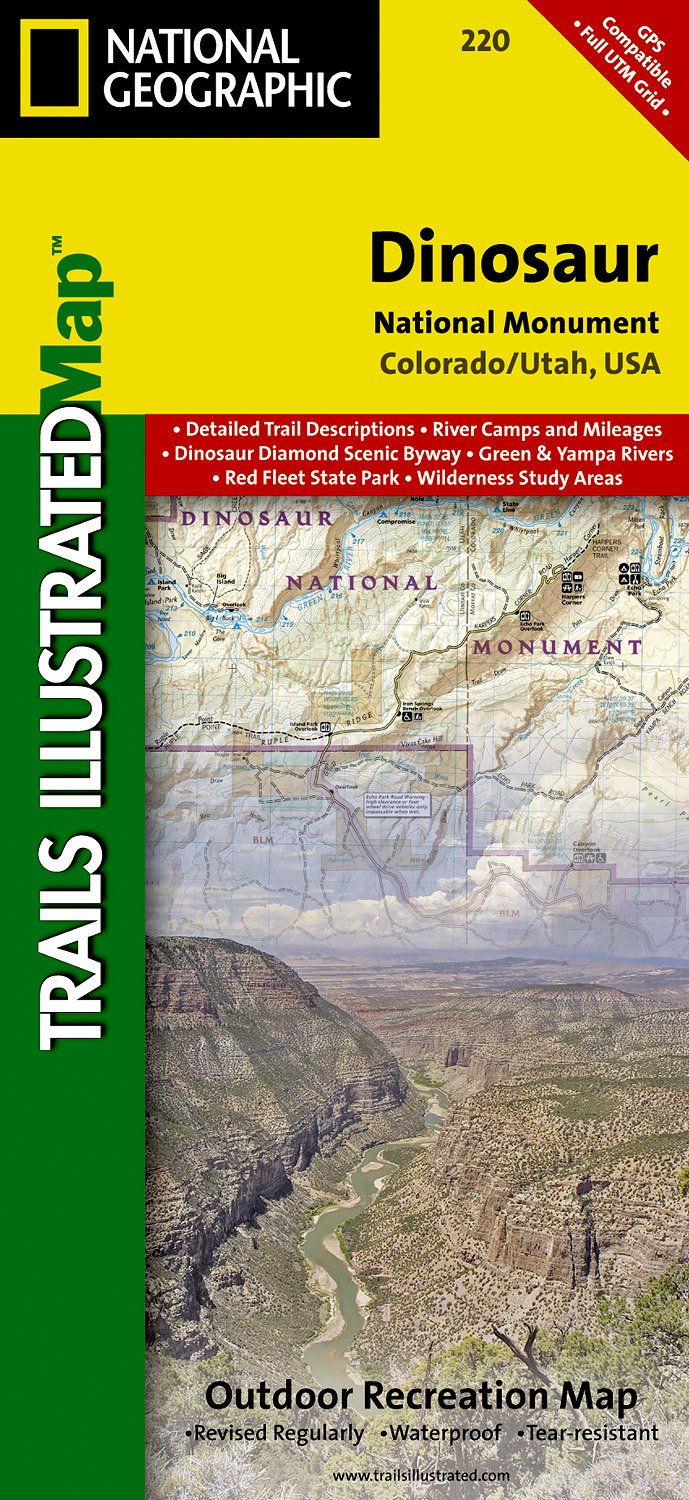
- Dinosaur National Monument UT/CO
- Map No. 220, Dinosaur National Monument, UT/CO, in an extensive series of GPS compatible, contoured hiking maps of USA’s national and state parks or forests and other popular recreational areas. Cartography based on the national topographic survey, with additional tourist information.The maps, with most titles now printed on light, waterproof... Read more
De Zwerver
Netherlands
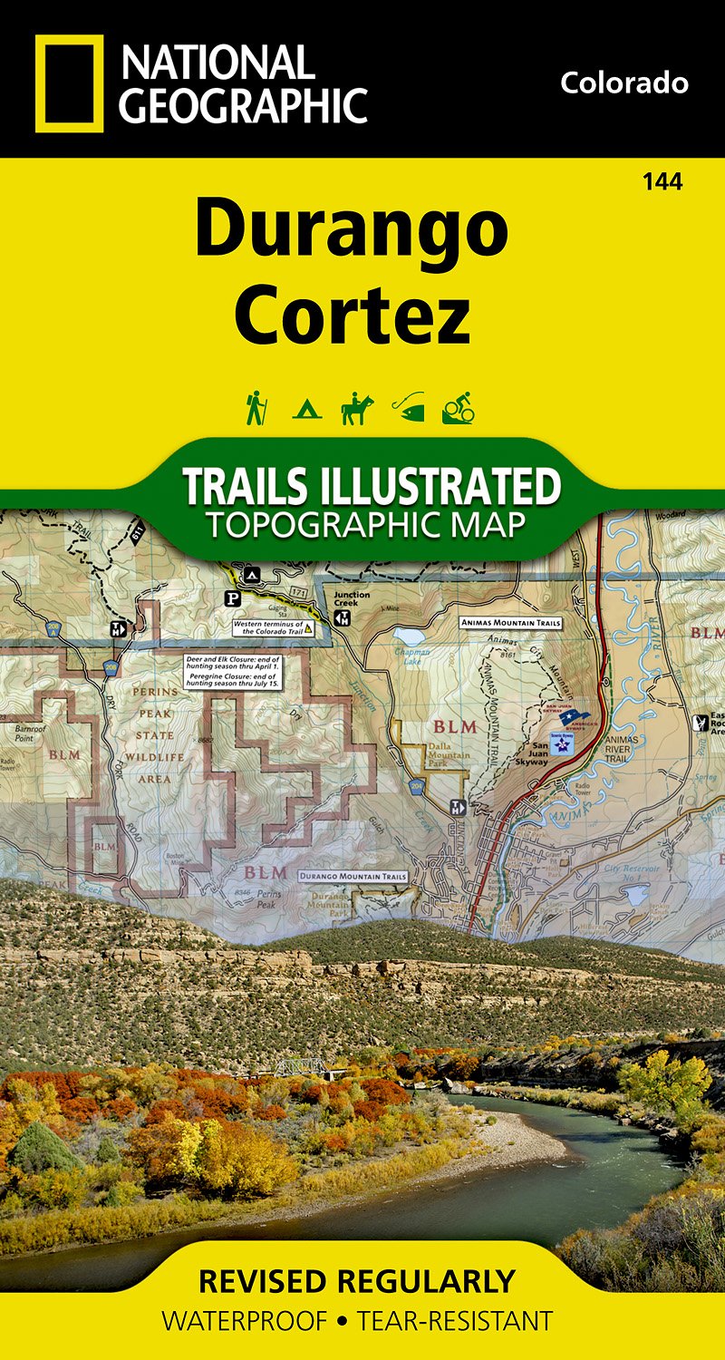
- Wandelkaart - Topografische kaart 144 Durango, Cortez | National Geographic
- Prachtige geplastificeerde kaart van het bekende nationaal park. Met alle recreatieve voorzieningen als campsites, maar ook met topografische details en wandelroutes ed. Door uitgekiend kleurgebruik zeer prettig in gebruik. Scheur en watervast! Beautiful waterproof and tear-resistant topographical hiking map of a well-loved National Park, with... Read more

Stanfords
United Kingdom
- Durango - Cortez CO
- Map No. 144, Durango - Cortez, CO, in an extensive series of GPS compatible, contoured hiking maps of USA’s national and state parks or forests and other popular recreational areas. Cartography based on the national topographic survey, with additional tourist information.The maps, with most titles now printed on light, waterproof and... Read more
De Zwerver
Netherlands
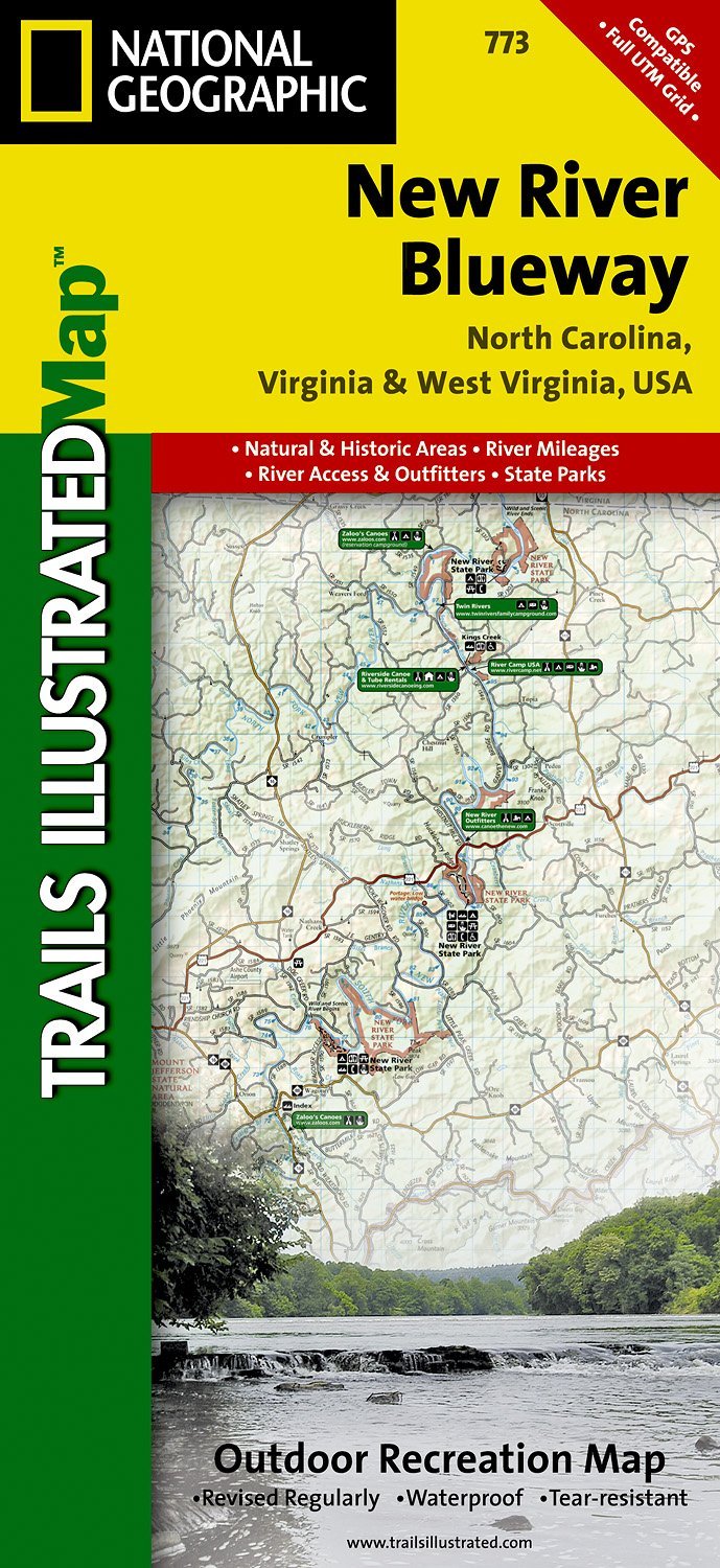
- Wandelkaart - Topografische kaart 773 New River Blueway | National Geographic
- Prachtige geplastificeerde kaart van het bekende nationaal park. Met alle recreatieve voorzieningen als campsites, maar ook met topografische details en wandelroutes ed. Door uitgekiend kleurgebruik zeer prettig in gebruik. Scheur en watervast! George Washington Nat. Forest, Jefferson Nat. Forest, New River Canoe Trail, Claytor Lake State Park,... Read more

Stanfords
United Kingdom
- New River Blueway NC/VA/WV
- Map No. 773, New River Blueway, NC/VA/WV, in an extensive series of GPS compatible, contoured hiking maps of USA’s national and state parks or forests and other popular recreational areas. Cartography based on the national topographic survey, with additional tourist information.The maps, with most titles now printed on light, waterproof and... Read more
De Zwerver
Netherlands

Stanfords
United Kingdom
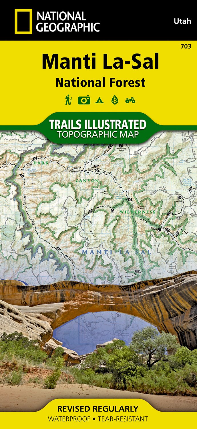
- Manti La Sal National Forest UT
- Map No. 703, Manti La Sal National Forest, UT, in an extensive series of GPS compatible, contoured hiking maps of USA’s national and state parks or forests and other popular recreational areas. Cartography based on the national topographic survey, with additional tourist information.The maps, with most titles now printed on light, waterproof... Read more

De Zwerver
Netherlands
De Zwerver
Netherlands

Stanfords
United Kingdom
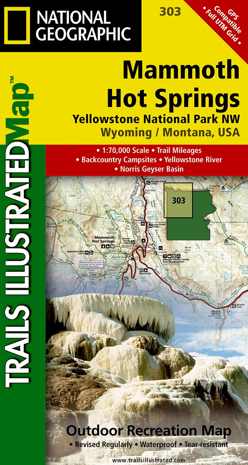
- Mammoth Hot Springs - Yellowstone National Park NW WY/MT
- Map No. 303, Yellowstone NW: Mammoth Hot Springs, WY/MT, in an extensive series of GPS compatible, contoured hiking maps of USA’s national and state parks or forests and other popular recreational areas. Cartography based on the national topographic survey, with additional tourist information.The maps, with most titles now printed on light,... Read more
De Zwerver
Netherlands

Stanfords
United Kingdom
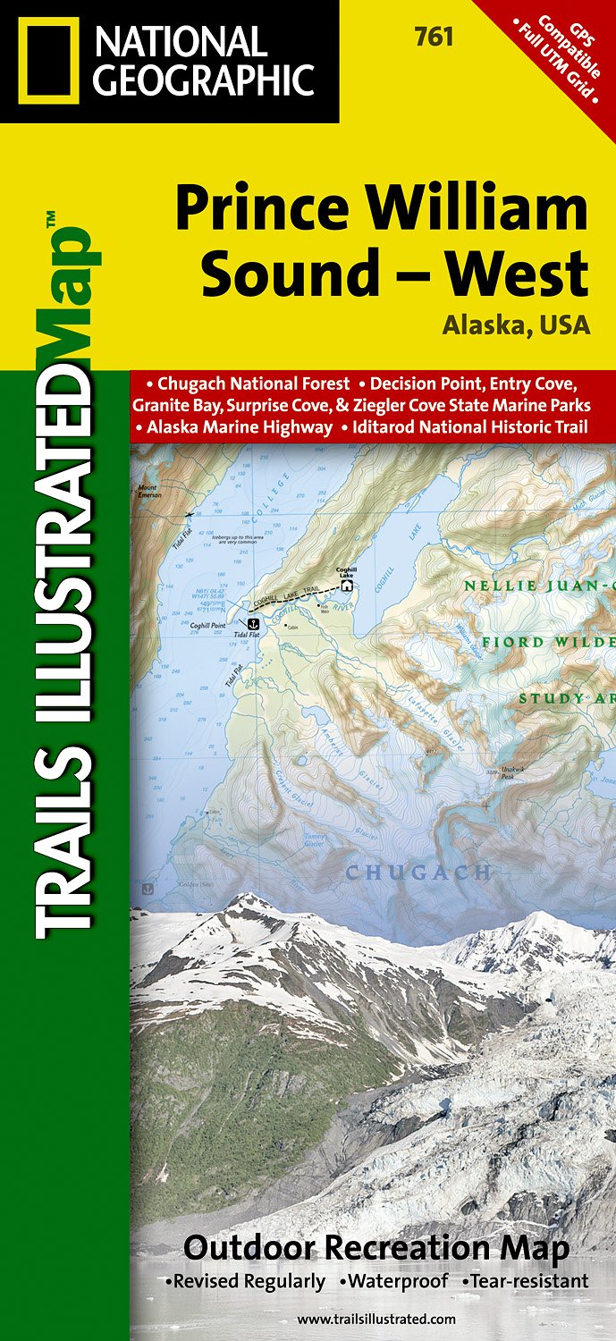
- Prince William Sound West AK NGS Trails Illustrated Map 761
- Map No. 761, Prince William Sound West, AK, in an extensive series of GPS compatible, contoured hiking maps of USA’s national and state parks or forests and other popular recreational areas. Cartography based on the national topographic survey, with additional tourist information.The maps, with most titles now printed on light, waterproof and... Read more
De Zwerver
Netherlands

Stanfords
United Kingdom
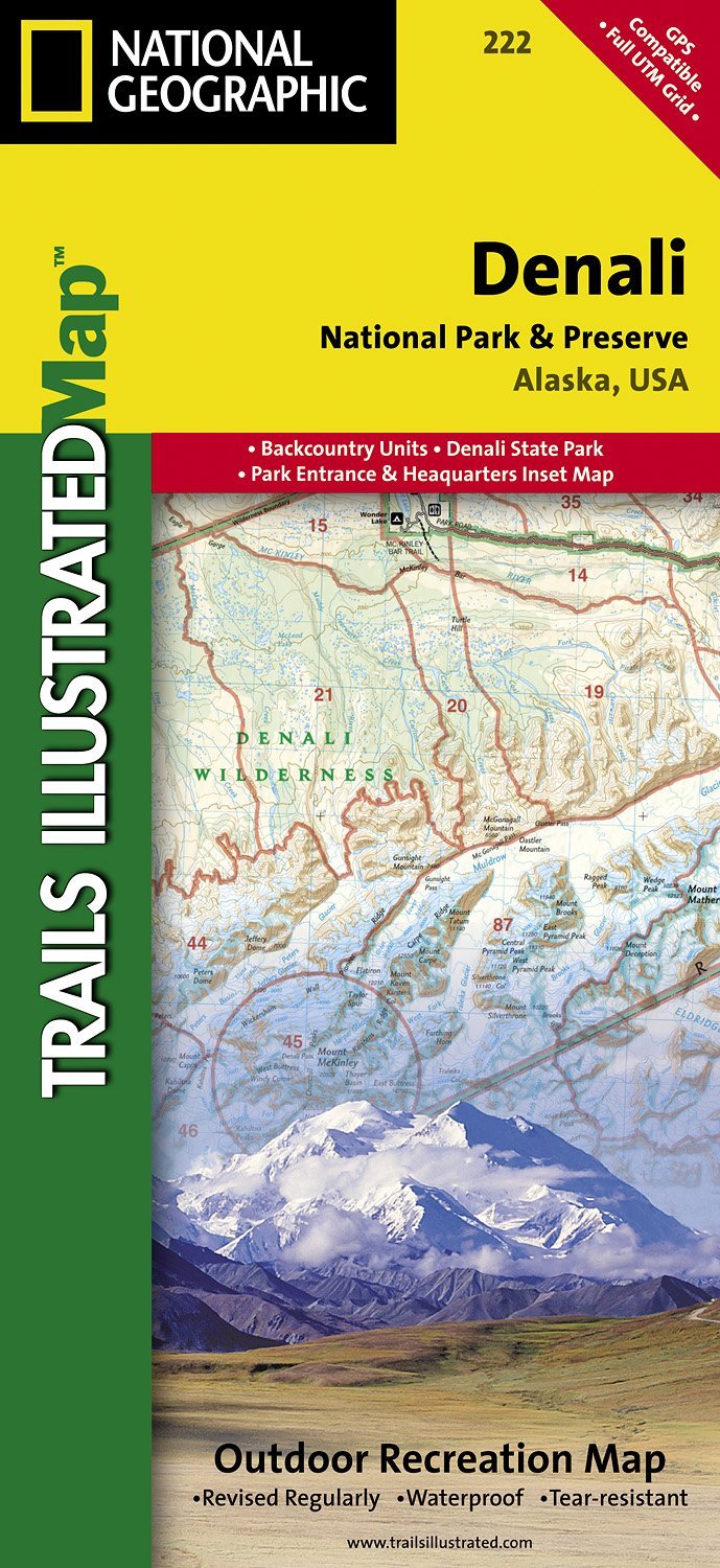
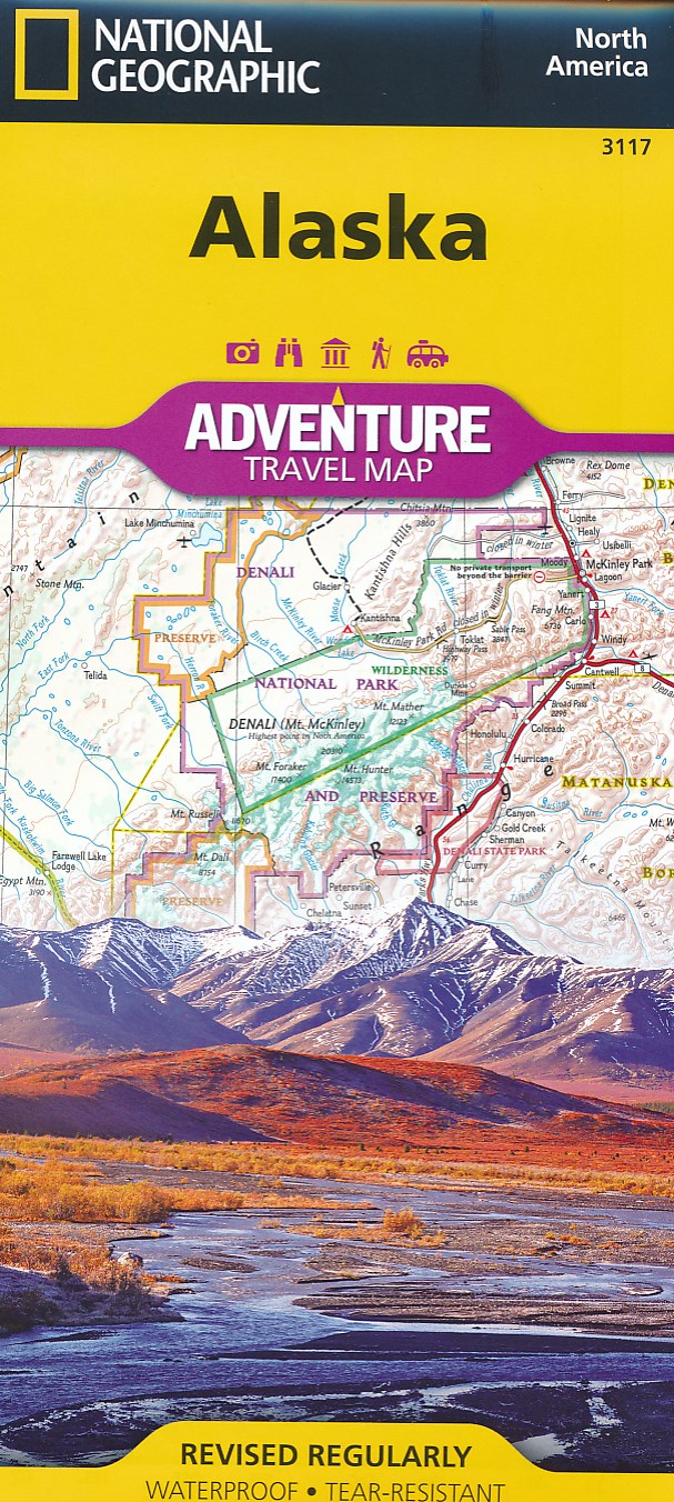
- Denali National Park and Preserve AK
- Map No. 222, Denali National Park and Preserve, AK, in an extensive series of GPS compatible, contoured hiking maps of USA’s national and state parks or forests and other popular recreational areas. Cartography based on the national topographic survey, with additional tourist information.The maps, with most titles now printed on light,... Read more
De Zwerver
Netherlands
