Voor weinig gebieden in Italië zijn echt goede wandelkaarten beschikbaar. Dit is gelukkig zo'n serie: voor de noordwestelijke Alpen van Italië; Gran Paradiso, Mont Blanc en Aosta en omgeving. Met GPS grid uitgeruste detailkaart, schaal 1:25.000 met alle noodzakelijke wandelinformatie als ingetekende routes, Via Ferrata routes, campings,...Read more
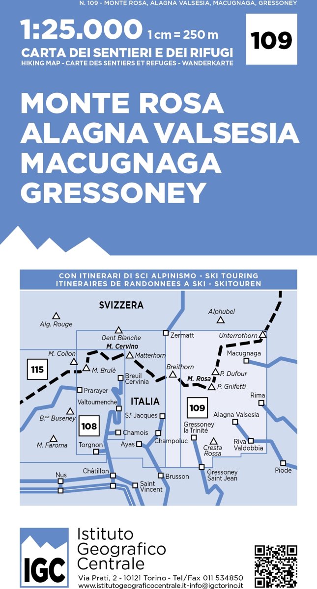
Monte Rosa - Alagna - Macugnaga - Gressoney area at 1:25,000 in a series of contoured, GPS compatible walking maps from the Turin based Istituto Geografico Centrale, highlighting hiking trails including long-distance routes, ski routes and alpine accommodation. Maps in this series have contours at 25m intervals, enhanced by shading and graphic...Read more
Monte Rosa - Alagna - Macugnaga - Gressoney area at 1:25,000 in a series of contoured, GPS compatible walking maps from the Turin based Istituto Geografico Centrale, highlighting hiking trails including long-distance routes, ski routes and alpine accommodation. Maps in this series have contours at 25m intervals, enhanced by shading and graphic...Read more
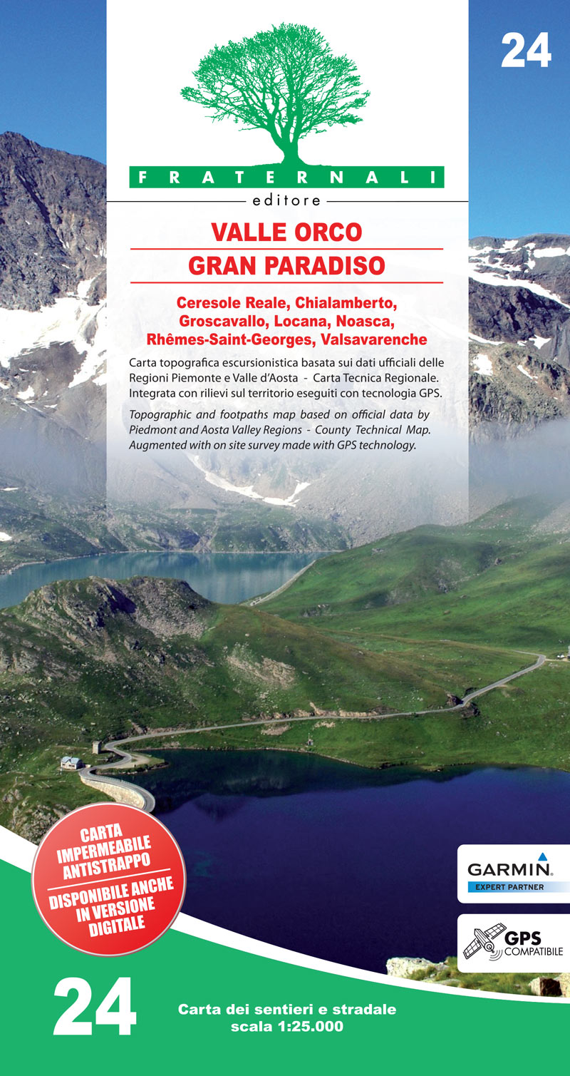
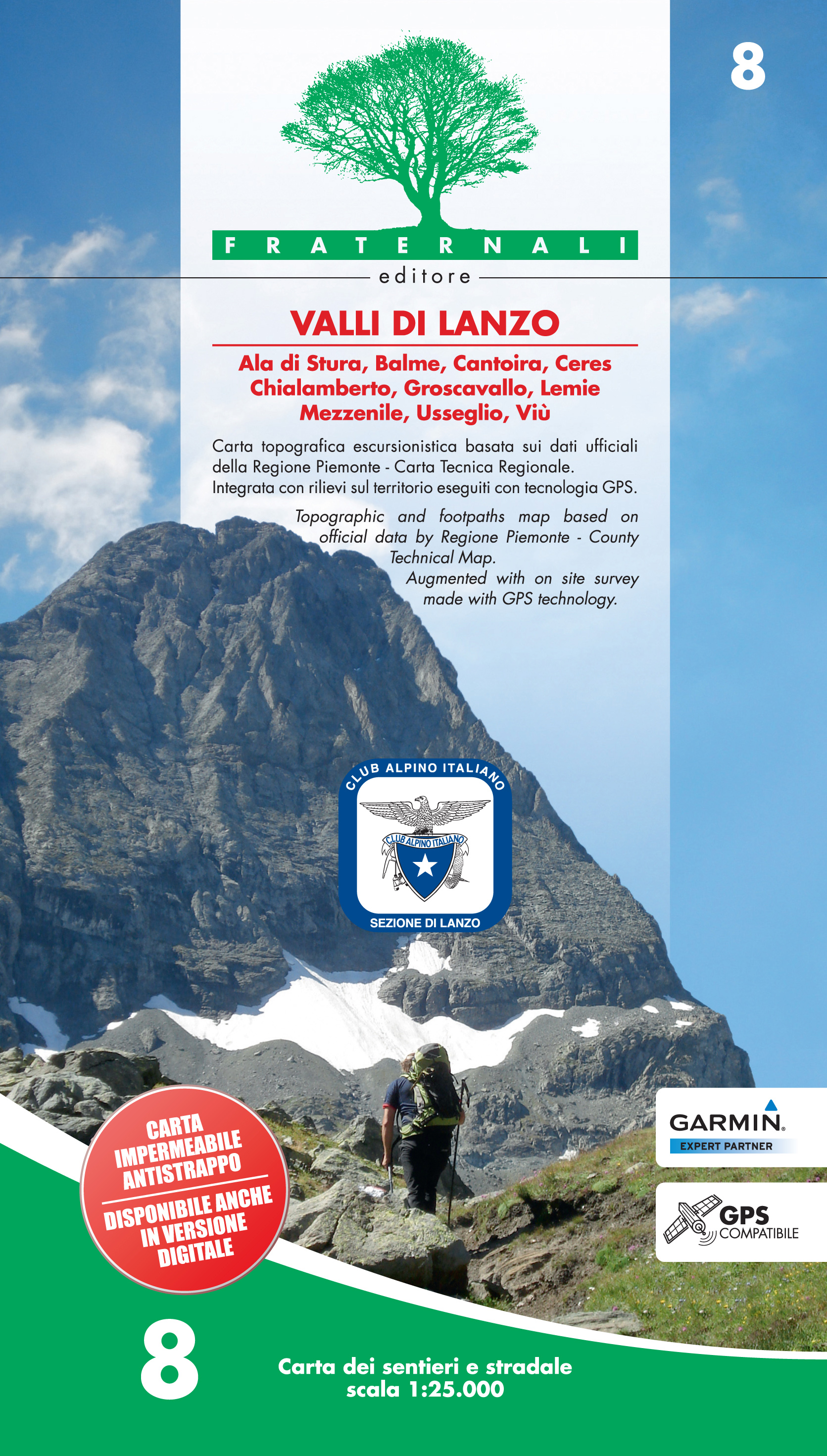
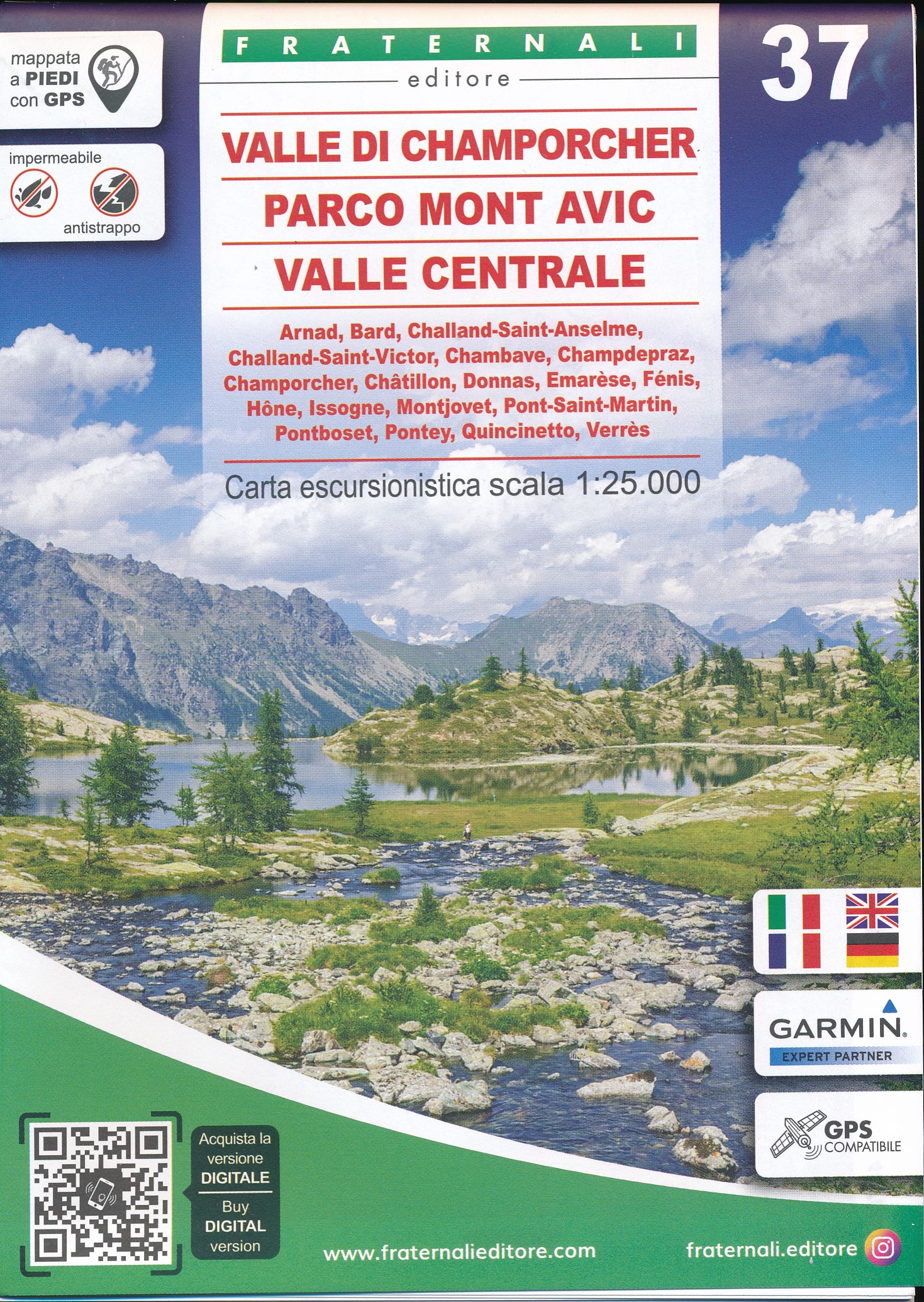
Valli di Lanzo in the Italian Alps presented at 1:25,000 in a series of large, contoured and GPS compatible walking maps from Fraternali Editore, printed on light, waterproof and tear-resistant synthetic paper. Maps in this series have topography shown by contour lines at 5m intervals with relief shading, spot heights, and colouring and/or...Read more
Valli di Lanzo in the Italian Alps presented at 1:25,000 in a series of large, contoured and GPS compatible walking maps from Fraternali Editore, printed on light, waterproof and tear-resistant synthetic paper. Maps in this series have topography shown by contour lines at 5m intervals with relief shading, spot heights, and colouring and/or...Read more
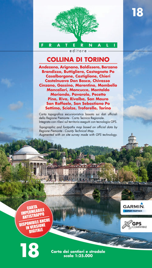
Collina di Torino, the hills east of Turin, presented at 1:25,000 in a series of large, contoured and GPS compatible walking maps from Fraternali Editore, printed on light, waterproof and tear-resistant synthetic paper. Maps in this series have topography shown by contour lines at 5m intervals with relief shading, spot heights, and colouring...Read more
Collina di Torino, the hills east of Turin, presented at 1:25,000 in a series of large, contoured and GPS compatible walking maps from Fraternali Editore, printed on light, waterproof and tear-resistant synthetic paper. Maps in this series have topography shown by contour lines at 5m intervals with relief shading, spot heights, and colouring...Read more
Gedetailleerde wandelkaart van een deel van het bergmassief van de Monte Rosa en de uitlopers daarvan in het noordelijke deel van Piemonte. De kaart is gebaseerd op topografische kaarten met belangrijke zaken als hoogtelijnen, bergtoppen en woningen. Daarnaast zijn er voor de wandelaars nuttige feiten als hutten, campings maar ook markeringen...Read more
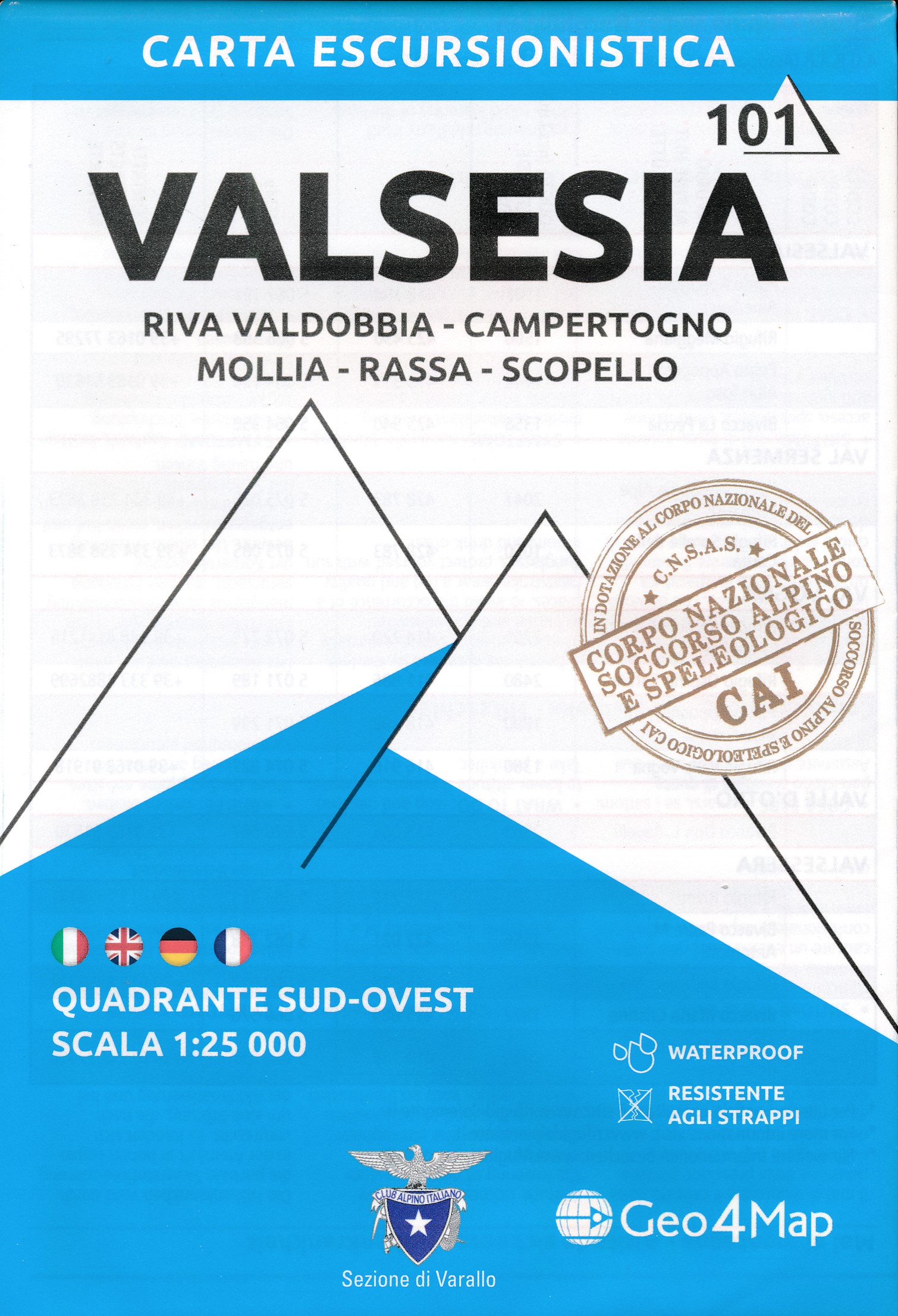
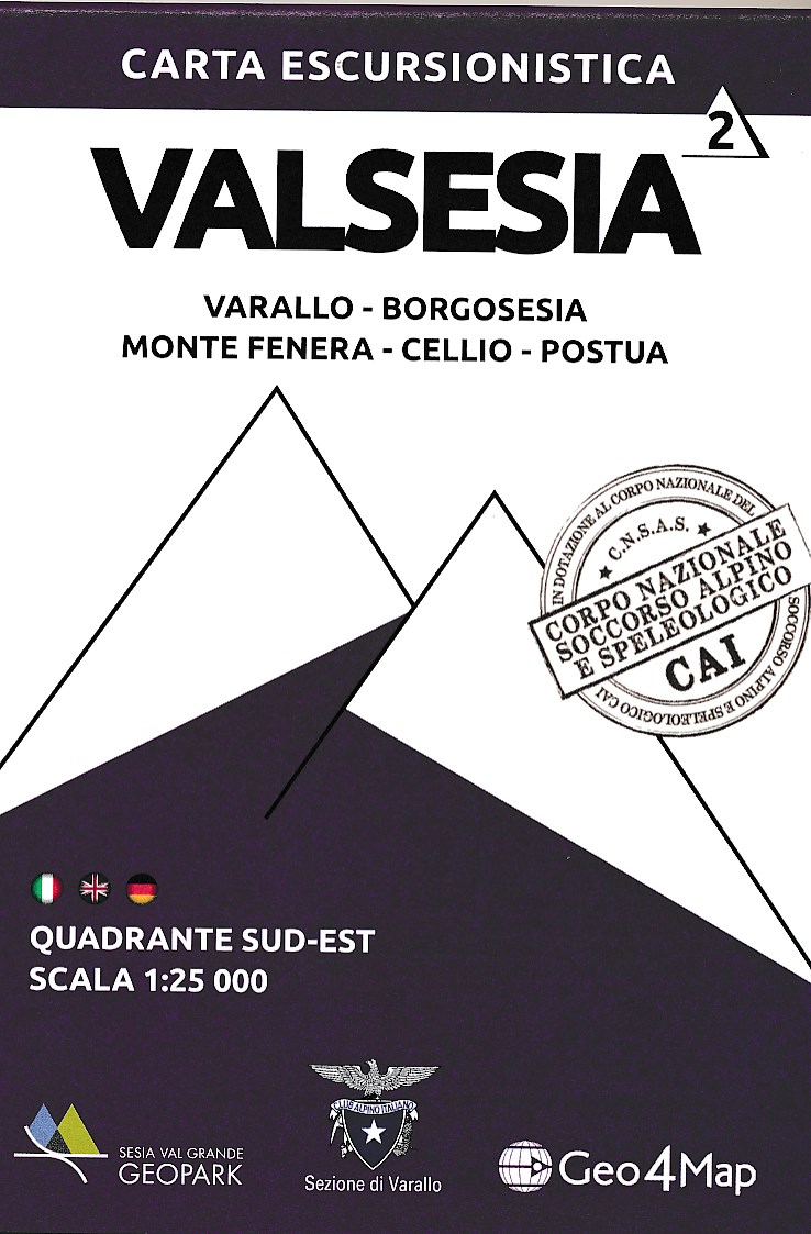
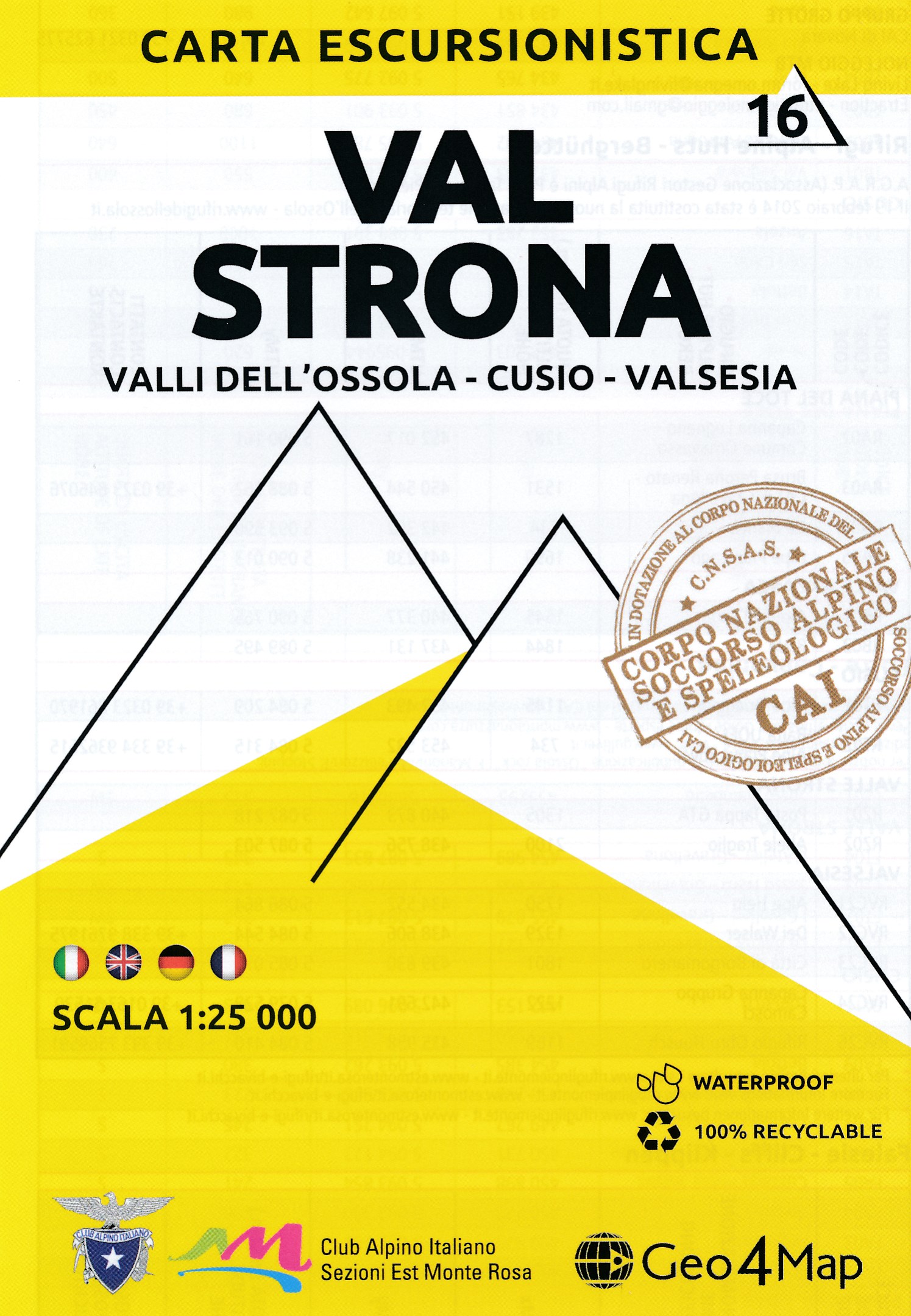
1:25,000 hiking map to the south east of Valsesia centred on Borgosesia, including Varallo, Postua, Cellio and Monte Fenera.Published in association with the CAI, the Italian Alpine Club, who are responsible for the trails. Trails are marked on the map. The key information and more detailed information on the rear of the sheet are in Italian,...Read more
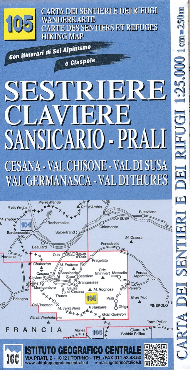
Sestriere - Claviere - Prali area at 1:25,000 in a series of contoured, GPS compatible walking maps from the Turin based Istituto Geografico Centrale, highlighting hiking trails including long-distance routes, ski routes and alpine accommodation. The maps have contours at 25m intervals, enhanced by shading and graphic relief for very clear...Read more
Sestriere - Claviere - Prali area at 1:25,000 in a series of contoured, GPS compatible walking maps from the Turin based Istituto Geografico Centrale, highlighting hiking trails including long-distance routes, ski routes and alpine accommodation. Maps in this series have contours at 25m intervals, enhanced by shading and graphic relief for very...Read more
Lanzo and Moncenisio Valleys, map no. 2, in a series contoured hiking maps at 1:50,000 with local trails, long-distance footpaths, mountain accommodation, etc. from the Turin based Istituto Geografico Centrale covering the Italian Alps and Piedmont, the lakes and northern Lombardy, and the Italian Riviera.The maps have contours at 50m...Read more
Lanzo and Moncenisio Valleys in a series contoured hiking maps at 1:50,000 with local trails, long-distance footpaths, mountain accommodation, etc. from the Turin based Istituto Geografico Centrale. This title also includes an overprint showing cycle routes.Maps in this series have contours at 50m intervals, enhanced by shading and graphic...Read more
Gedetailleerde wandelkaart van een deel van het bergmassief van de Monte Rosa en de uitlopers daarvan in het noordelijke deel van Piemonte. De kaart is gebaseerd op topografische kaarten met belangrijke zaken als hoogtelijnen, bergtoppen en woningen. Daarnaast zijn er voor de wandelaars nuttige feiten als hutten, campings maar ook markeringen...Read more
IGC heeft een serie gedetailleerde wandelkaarten voor het Italiaanse gedeelte van de Alpen (Piemonte). Voldoende gedetailleerd voor het volgen van het lokale wandelnetwerk. Voorzien van schaduwreliëf, hoogtelijnen en referentiehoogtes. Onderscheid in soort wandelpad ( bergpad, bergpad met hindernissen,gletsjerovergang). Ook zijn de...Read more
Domodossola - Val Formazza area of the Italian Alps in a series contoured hiking maps at 1:50,000 with local trails, long-distance footpaths, mountain accommodation, etc. from the Turin based Istituto Geografico Centrale.Maps in this series have contours at 50m intervals, enhanced by shading and graphic relief. An overprint highlights local...Read more
Gebied: Ala di Stura, Balme, Cantoira, Ceres, Chialamberto, Groscavallo, Lemie, Mezzenile, Usseglio, Viù Een uitstekende wandelkaart van de westkant van Italie waar tot voor kort geen echt goede kaarten beschikbaar waren. De lokale uitgeverij Fraternali heeft een prachtige serie gemaakt van wandelkaarten met schaal 1:25.000. De kaarten zijn...Read more
Valli di Lanzo in the Italian Alps presented at 1:25,000 in a series of large, contoured and GPS compatible walking maps from Fraternali Editore, printed on light, waterproof and tear-resistant synthetic paper. Maps in this series have topography shown by contour lines at 5m intervals with relief shading, spot heights, and colouring and/or...Read more